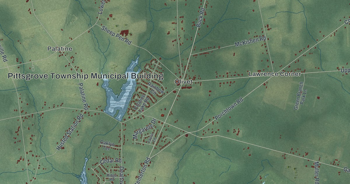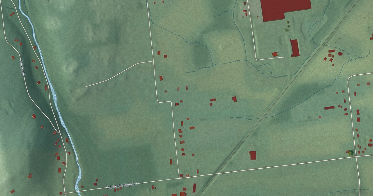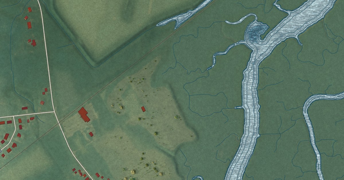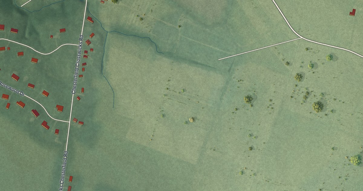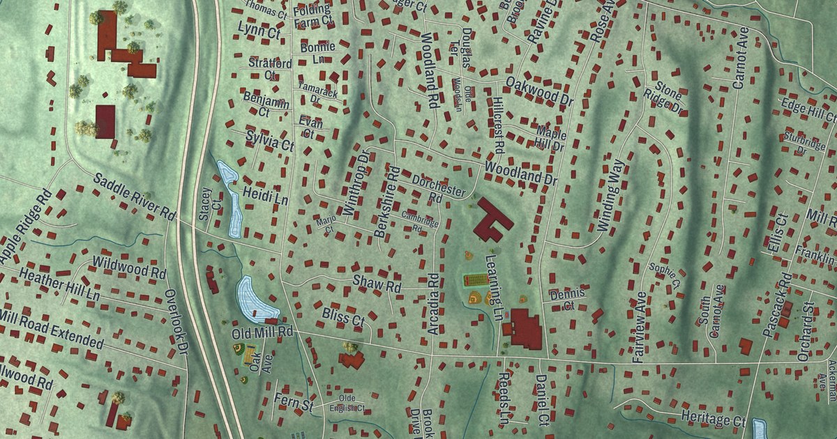
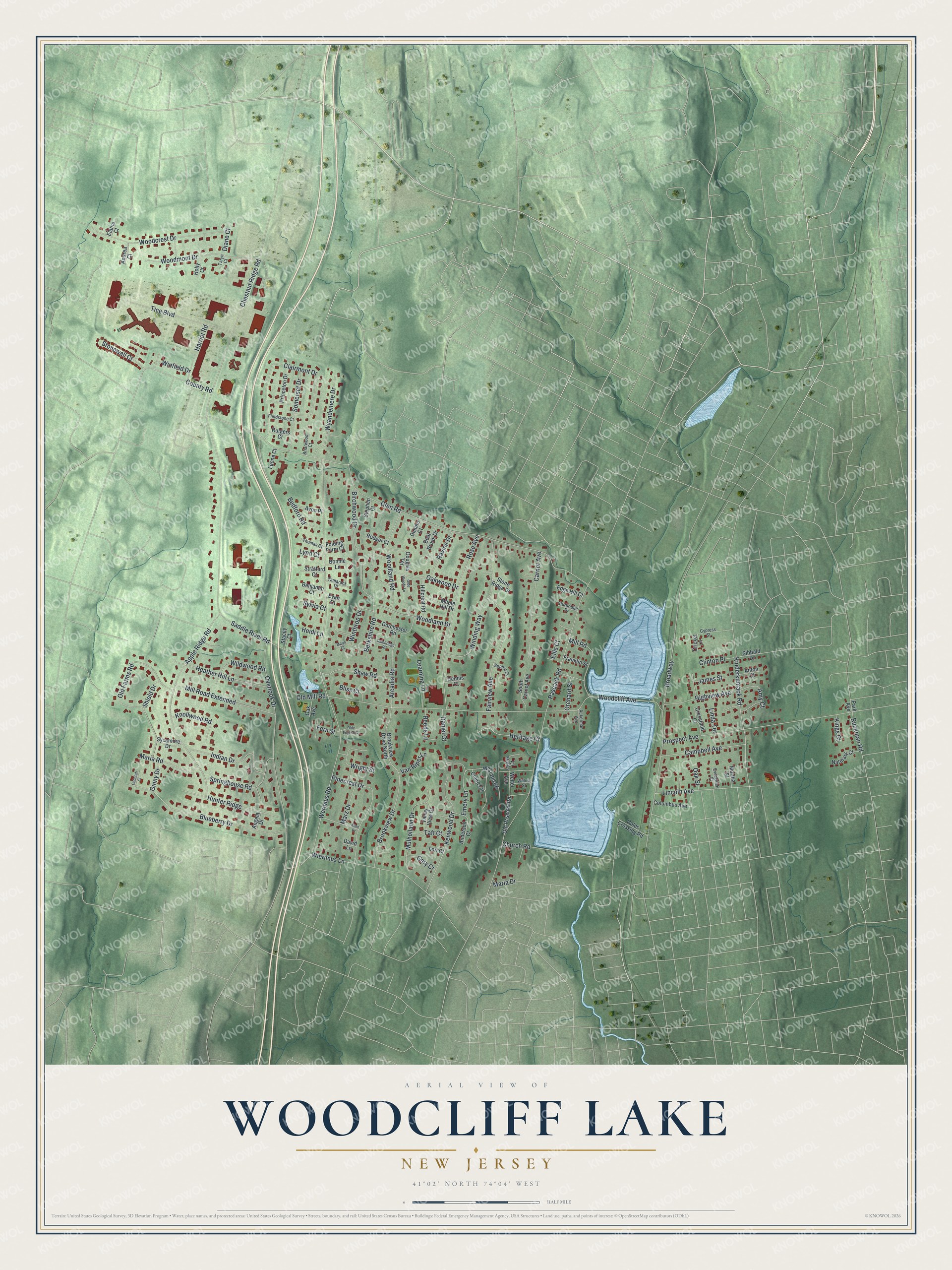
This beautifully detailed map of Woodcliff Lake, New Jersey was created in 2026 using aerial imagery combined with modern topographical, census, street and landmark data. It’s a one-of-a-kind view of Woodcliff Lake that combines accurate data with a vintage aesthetic. The map shows every building in its true location, many of the roads carry their names, and the shaded topographic relief shows the shape of the land.
Explore an aerial view of Woodcliff Lake, New Jersey
On the map you’ll find Glen Road, Werimus Road, Chestnut Ridge Road, Woodcliff Avenue, Pascack Road, and more. If you look closely you can even find your house accurately drawn in its correct location. Zoom in on the preview to look for yours.
Did You Know?
The borough began in 1894 as Woodcliff, one of 26 Bergen County boroughs formed that year. After the reservoir was built, it became Woodcliff Lake in 1910. The new name matched the post office, since Hudson County already had a Woodcliff.
Take a closer look at the Woodcliff Lake map
Names on this map
These names are printed on this map.
Streets and roads: Glen Road, Werimus Road, Chestnut Ridge Road, Woodcliff Avenue, Pascack Road, Broadway, Overlook Drive, Prospect Avenue, Apple Ridge Road, Clairmont Drive, Rose Avenue, Blueberry Drive.
More street names, A to Z
Ackerman Avenue, Allen Drive, Amy Court, Anderson Court, Andrea Court, Angela Drive, Anton Court, Arcadia Road, Avon Place, Bear Brook Drive, Bedford Road, Benjamin Court, Berkshire Road, Birchwood Drive, Bliss Court, Bonnie Lane, Briarwood Court, Brookview Drive, Brookview Drive North, Cambridge Road, Campbell Avenue, Carnot Avenue, Church Road, Claire Circle, Clinton Place, Coles Crossing Road, Columbus Avenue, County Road, Cressfield Court, Cricket Lane, Cypress Street, Daniel Court, David Lane, Deborah Court, Dennis Court, Diane Court, Dimino Court, Dorchester Road, Douglas Terrace, Edge Hill Court, Elaine Court, Ellis Court, Emery Lane, Evan Court, Evergreen Street, Fairview Avenue, Fern Street, Fieldstone Court, Folding Farm Court, Franklin Street, Gary Court, Ginny Drive, Harriet Road, Heather Hill Lane, Heidi Lane, Heritage Court, Highview Avenue, Hillcrest Road, Holly Court, Hunter Ridge, Indian Drive, James Street, Kenwood Drive, Kinderkamack Road, Kings Court, Knollwood Road, Learning Lane, Leone Court, Lincoln Avenue, Linda Terrace, Lori Court, Lynn Court, Lyons Court, Maple Hill Drive, Maria Drive, Maria Road, Marjo Court, Martha Street, Marz Drive, Mill Road, Mill Road Extended, Mulholland Drive, Natmark Court, Oak Avenue, Oak Street, Oakwood Drive, Olde English Court, Olde Woods Lane, Old Farms Road, Old Mill Road, Old Pascack Road, Orchard Street, Park Avenue, Pinecrest Drive, Princeton Drive, Ravine Drive, Reeds Lane, Rodger Court, Ruckman Road, Rutgers Court, Saddle River Road, Shaw Road, Shield Drive, Sibbald Drive, Somerset Drive, Sophie Court, South Carnot Avenue, Springhouse Road, Stacey Court, Stephen Court, Stone Ridge Drive, Stonewall Court, Stratford Court, Sturbridge Drive, Sycamore Drive, Sylvia Court, Taft Court, Tamarack Drive, Taryn Court, Thomas Court, Tice Boulevard, Valley View Drive, Van Riper Lane, Welter Avenue, West Hill Road, Wierimus Lane, Wildwood Road, Willow Street, Winding Way, Winfield Drive, Winthrop Drive, Woodcrest Drive, Woodland Drive, Woodland Road, Woodmont Drive, Wright Street, Wyandemere Drive.
See it on a wall
The Woodcliff Lake map as an 18 x 24 inch print in a black frame.

This beautifully detailed map of Woodcliff Lake makes an attractive addition to your office, library, or den, and it can even be used to teach children the geography and history of the area. It also makes a great gift for anyone who grew up in Woodcliff Lake or moved away. When you’re done exploring, click here to get your copy of the Woodcliff Lake map.