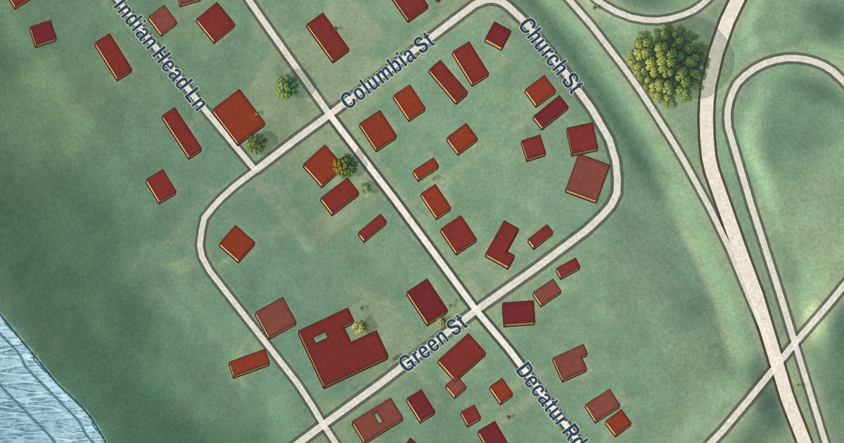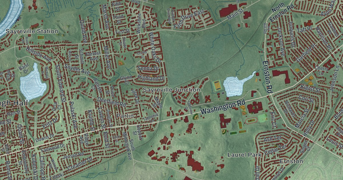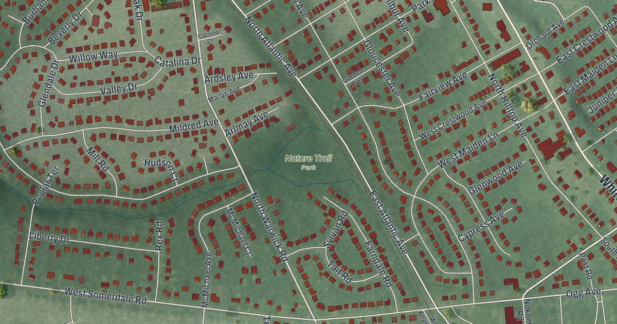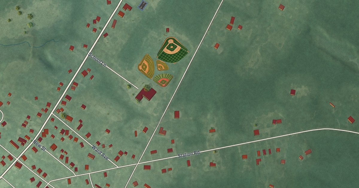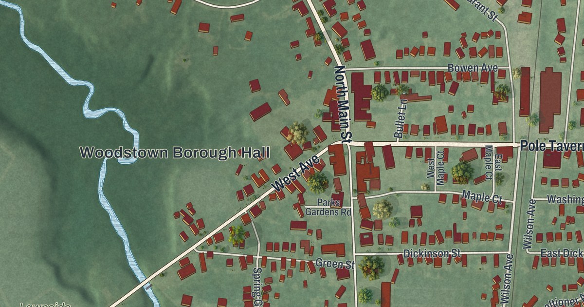
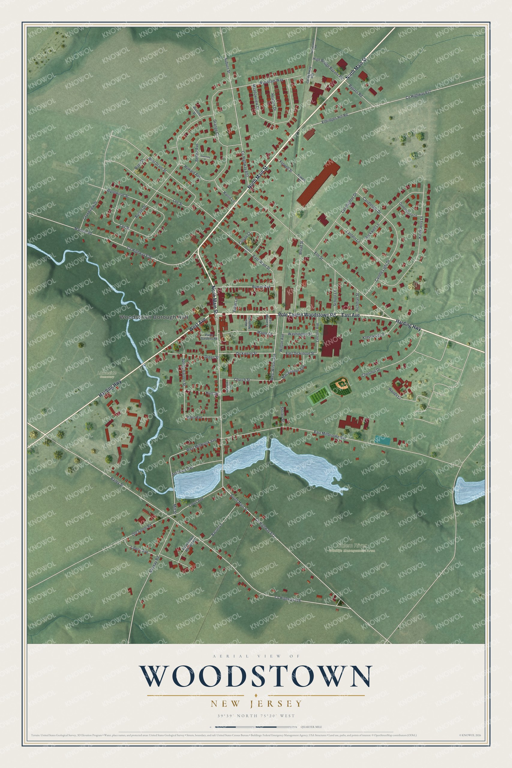
This beautifully detailed map of Woodstown, New Jersey was created in 2026 using aerial imagery combined with modern topographical, census, street and landmark data. It’s a one-of-a-kind view of Woodstown that combines accurate data with a vintage aesthetic. The map shows every building in its true location, many of the roads carry their names, and the shaded topographic relief shows the shape of the land.
Explore an aerial view of Woodstown, New Jersey
On the map you’ll find Woodstown Borough Hall, Salem River Wildlife Management Area, and Lawnside Cemetery, along with East Avenue, Pole Tavern Woodstown Road, Main Street, Harding Highway, and more. If you look closely you can even find your house accurately drawn in its correct location. Zoom in on the preview to look for yours.
Did You Know?
Woodstown carries the name of Jackanias Wood, one of its early settlers. His first name is also spelled Jaconias. The borough split off from Pilesgrove Township after residents voted for it on July 26, 1882.
Take a closer look at the Woodstown map
Names on this map
These names are printed on this map.
Places: Woodstown Borough Hall, Salem River Wildlife Management Area and Lawnside Cemetery.
Streets and roads: East Avenue, Pole Tavern Woodstown Road, North Main Street, Harding Highway, West Avenue, West Wilson Avenue, High Bridge Bypass Road, Candle Light Drive, West Millbrook Avenue, East Dickinson Street, County Highway 672, South Main Street.
More street names, A to Z
Allen Avenue, Alloway Road, Ashbrook Avenue, Auburn Street, Bacon Lane, Bailey Street, Bertha Avenue, Blanche Street, Borton Drive, Bowen Avenue, Broad Street, Bullet Lane, Bypass Road, Candlelight Drive, Chestnut Drive, Church Lane, Church Street, Colson Court, County Highway 602, County Highway 605, County Highway 616, County Highway 617, County Highway 636, Dickinson Street, East Grant Street, East Maple Court, East Millbrooke Avenue, Eldridges Hill Road, Elm Street, Folwell Street, Fowell Street, Grandview Drive, Grange Court, Grant Street, Green Street, Guernsey Place, Harris Lane, Heather Drive, Howard Avenue, Hunt Street, Kingsberry Lane, Kresswold Lane, Lail Street, Lamplighter Drive, Lantern Lane, Lee Street, Liberty Avenue, Lincoln Avenue, Lotus Avenue, Macaltioner Avenue, Maple Court, Marlton Road, Meadowview Drive, Mill Street, Old Salem Road, Parks Gardens Road, Queensberry Lane, Richman Street, Rockwell Lane, Rose Drive, School Lane, Shirley Street, Spring Garden Street, Swedesboro Road, Washington Street, West Grant Street, West Maple Court, Wilson Avenue, Woods Court, Woodstown Alloway Road, Wyndham Way, Wynnwood Street.
See it on a wall
The Woodstown map as an 18 x 24 inch print in a black frame.

This beautifully detailed map of Woodstown makes an attractive addition to your office, library, or den, and it can even be used to teach children the geography and history of the area. It also makes a great gift for someone who left Woodstown and still calls it home. When you’re done exploring, click here to get your copy of the Woodstown map.