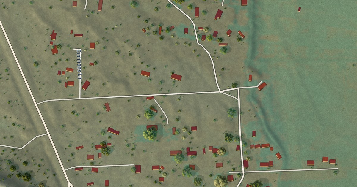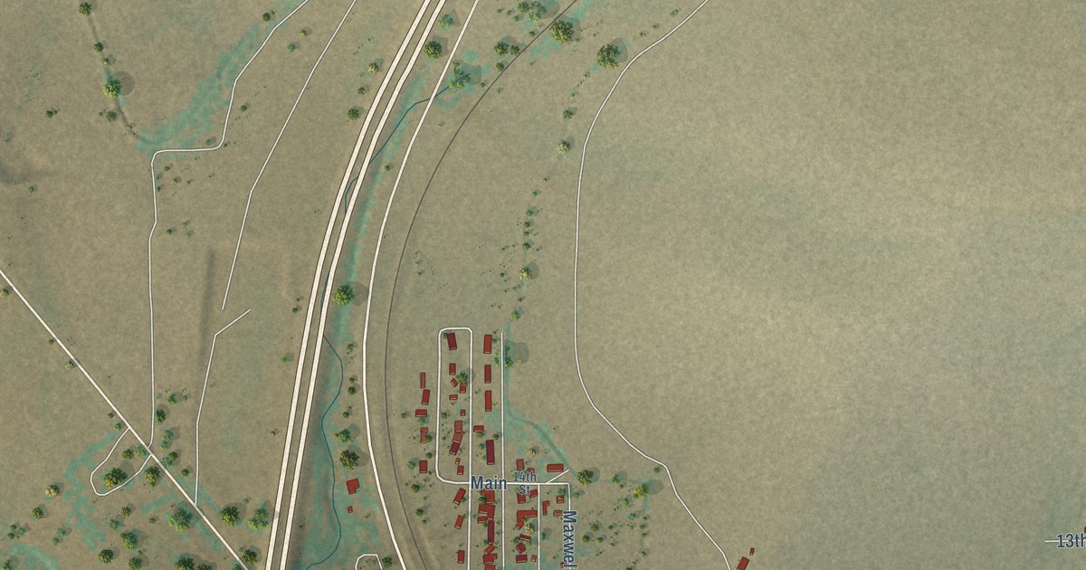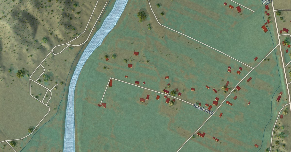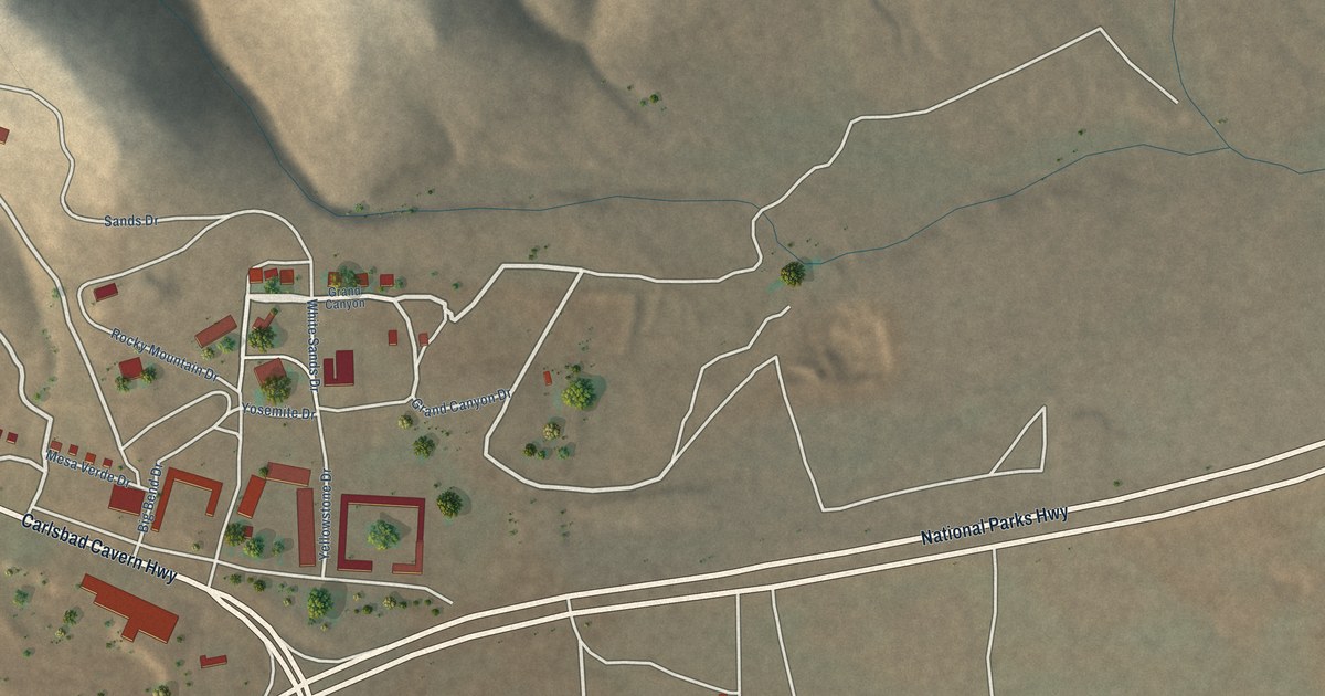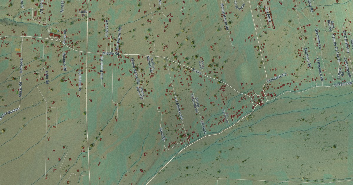
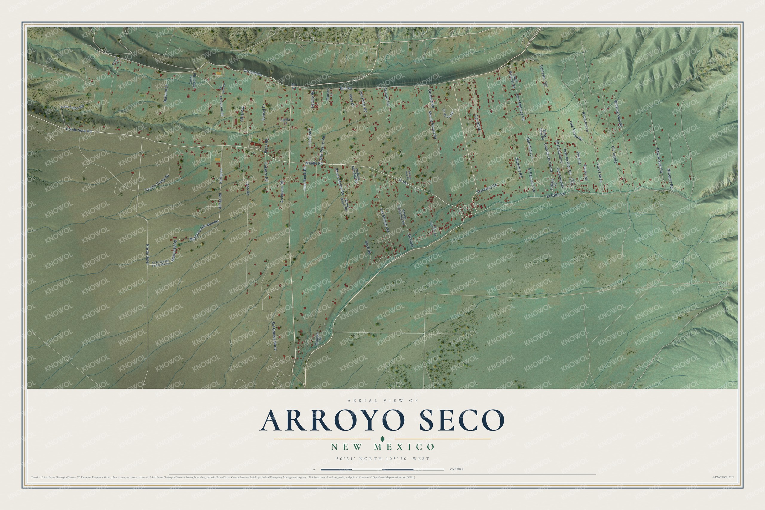
This beautifully detailed map of Arroyo Seco, New Mexico was created in 2026 using aerial imagery combined with modern topographical, census, street and landmark data. It's a modern aerial view of Arroyo Seco in Taos County, New Mexico, that combines modern data with a vintage aesthetic. The roads feature printed names, and if you look closely you can find your exact house accurately shown in its correct location.
Explore an aerial view of Arroyo Seco, New Mexico
On this map you'll find Hondo Seco Road, Rte du Soleil, Mariposa Road, Mariposa Des Montes, B-143, Rim Road, Middle Road, La Cuchilla, Martinez Road, Cam de Ov Torres, El Salto Road, Vista Lejos Road, and more. Each red shape is a building, so zoom in on the preview and look for yours.
Arroyo Seco is a community in Taos County. The Census Bureau counted 1,979 people here in 2020. Arroyo Seco sits about 4 miles north of Taos Pueblo, 5 miles east of Arroyo Hondo and 7 miles southeast of San Cristobal. The map prints the town name in its title panel, with the coordinates below it.
Take a closer look at the Arroyo Seco map
Names on this map
These names are printed on this map.
Streets and roads: Hondo Seco Road, Route du Soleil, Mariposa Road, Mariposa Des Montes, B-143, Rim Road, Middle Road, La Cuchilla, Martinez Road, Cam de Ov Torres, El Salto Road, Vista Lejos Road.
More street names, A to Z
Almas Road, Antonio Lane, Archuleta Road, Aspen Road, Baca Road, Barbara Lane, Black Bear Road, Cavalry Camp Road, Cedar Beach Road, Cemetery Road, Cll Caballeros, Cll Coyote, Cll Derocha, Cll la Paz, Cll Vidal, Cordova Mendina Road, Cottonwood, Cír de Vistas, Doe Carpinteros Road, Dos Palas Road, Ej Pacheco Road, El Sol Grande de Des Montes, George Cristantos Road, Geronimo Lane, Hartposa, Jma Ranch Road, Juan de Dios, Juan de Dios Road, Juan Martinez Road, Juan Matinez Road, La Canada Road, La Rosa Road, Las Animas Road, Latilla Lane, Leo's Road, Leos Road, Lobo Road, Los Altos, Luis Torres, Luis Torres Road, Macario Lane, Marquez Road, Mas Perros Road, Montano Road, Montoya Road, Mouse House Road, Orchard Road, Padillo Road, Paw-A-Suki Road, Percilla, Reyna Road, Robertos Lane, Rolanzo Road, Shana Maare Road, Shana Madre Road, Skinnys Road, Sol Grande Norte, Sunset Drive, Vista Drive, Walking Rain Road, Walking Wind Road.
See it on a wall
The Arroyo Seco map as a framed print. Swipe for more.


Created by KNOWOL in 2026. The buildings are small red shapes, the roads carry their printed names, and shaded relief shows the shape of the land. The title panel reads "AERIAL VIEW OF ARROYO SECO, NEW MEXICO" with 36°31' NORTH 105°36' WEST.
It looks right in a kitchen, an office or a den, and it's a gift for anyone who grew up in Arroyo Seco or moved away. Open the preview and find your street. See sizes and frames for the Arroyo Seco map.