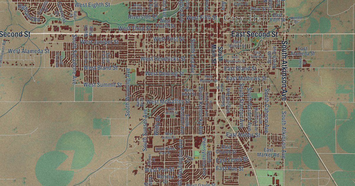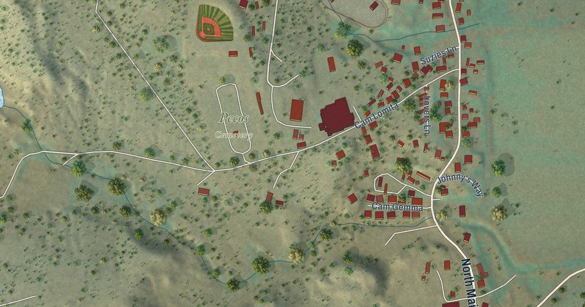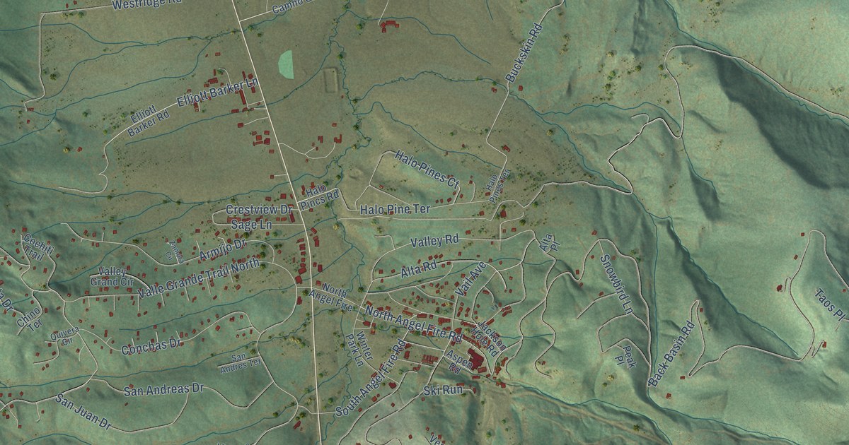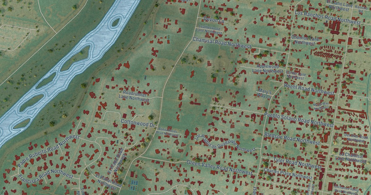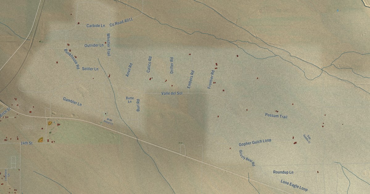
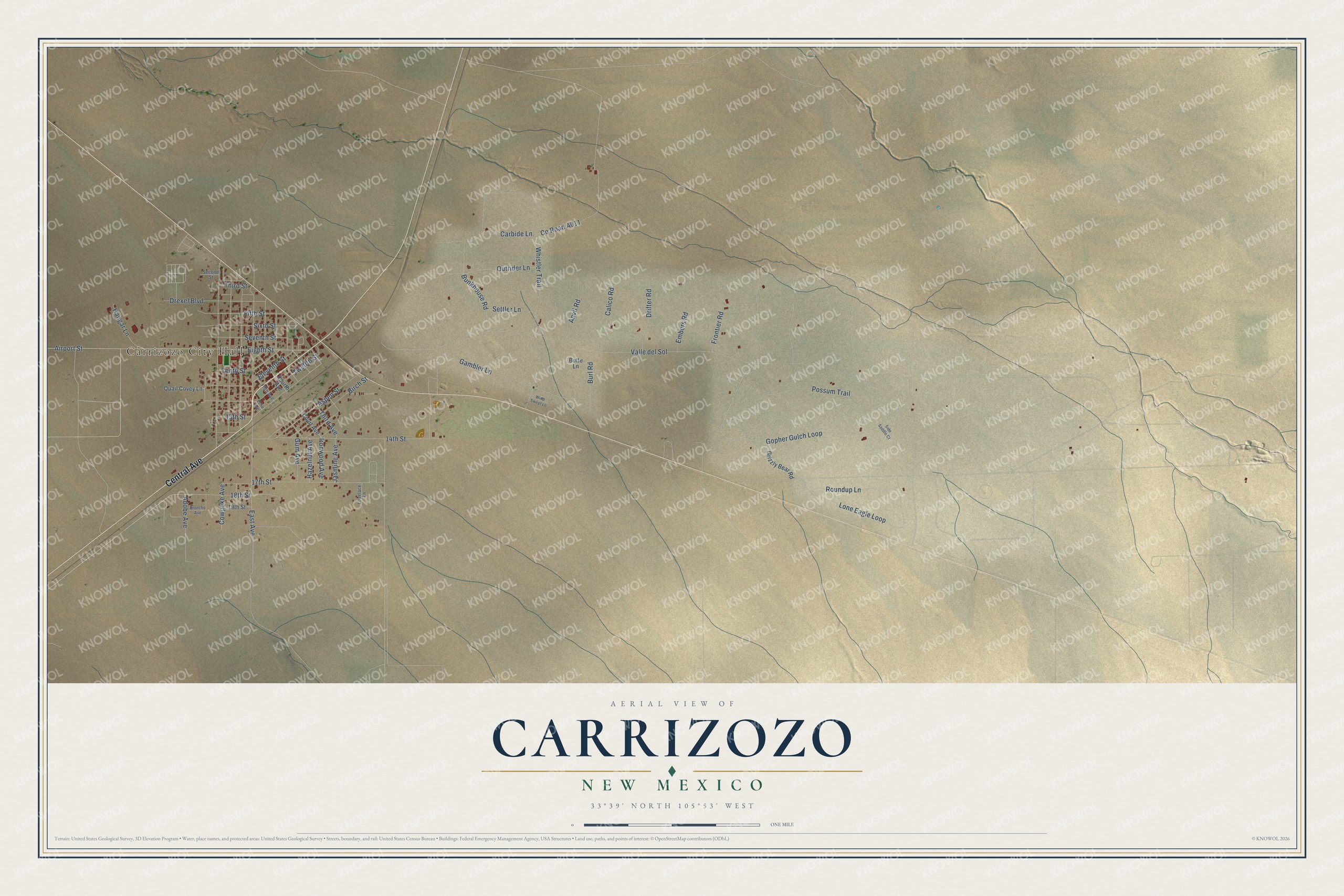
This beautifully detailed map of Carrizozo, New Mexico was created in 2026 using aerial imagery combined with modern topographical, census, street and landmark data. It's a modern aerial view of Carrizozo in Lincoln County, New Mexico, that combines modern data with a vintage aesthetic. The roads feature printed names, and if you look closely you can find your exact house accurately shown in its correct location.
Explore an aerial view of Carrizozo, New Mexico
On this map you'll find Carrizozo City Hall, Central Avenue, Gopher Gulch Loop, Airport Street, Eighth Street, Gum Avenue, East Avenue, Valle del Sol, Whistler Trail, 14th Street, Lone Eagle Loop, Gambler Lane, and more. Each red shape is a building, so zoom in on the preview and look for yours.
Here is a piece of Carrizozo history, in the words of the record. The Town of Carrizozo puts it this way: "Before the railroad tracks reached the site of present day Carrizozo in August, 1899, as far as the eye could see, there were few signs of human habitation here at the upper end of the Tularosa Basin."
Carrizozo is a town in Lincoln County. The Census Bureau counted 972 people here in 2020.
Take a closer look at the Carrizozo map
Names on this map
These names are printed on this map.
Places: Carrizozo City Hall.
Streets and roads: Central Avenue, Gopher Gulch Loop, Airport Street, Eighth Street, Gum Avenue, East Avenue, Valle del Sol, Whistler Trail, 14th Street, Lone Eagle Loop, Gambler Lane, 17th Street.
More street names, A to Z
13th Street, 18th Street, 19th Street, Adobe Avenue, Anvil Road, Aspen Street, Birch Street, Broncho Avenue, Bunkhouse Road, Burl Road, Butte Lane, Calico Road, Carbide Lane, Court Avenue, Cowpoke Avenue, Drexel Boulevard, Drifter Road, Echo Avenue, Eleventh Street, Embers Road, Fifth Avenue, Fifth Street, Fourth Avenue, Frontier Road, Grizzly Bear Road, Hangar Lane, Hazelnut Avenue, Ironwood Avenue, Jasmine Avenue, Lovelace Lane, Outrider Lane, Possum Trail, Quail Covey Lane, Roundup Lane, Second Street, Settler Lane, Seventh Street, Side Saddle Court, Sixth Street, Tenth Street, Third Avenue, Third Street, Twelfth Street, Wind Swept Lane.
Created by KNOWOL in 2026. The buildings are small red shapes, the roads carry their printed names, and shaded relief shows the shape of the land. The title panel reads "AERIAL VIEW OF CARRIZOZO, NEW MEXICO" with 33°39' NORTH 105°53' WEST.
It suits a den, a classroom or a front hall, and it makes a gift for anyone with Carrizozo roots. Open the preview and find the block you know. See sizes and frames for the Carrizozo map.