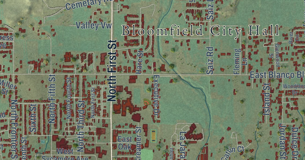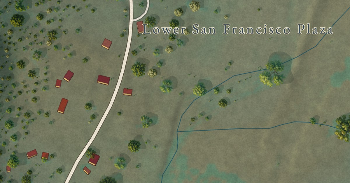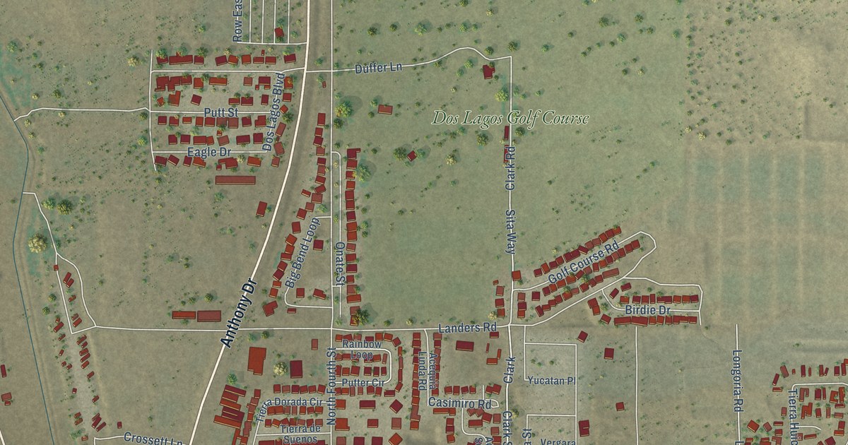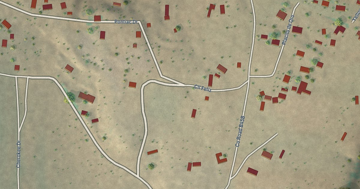
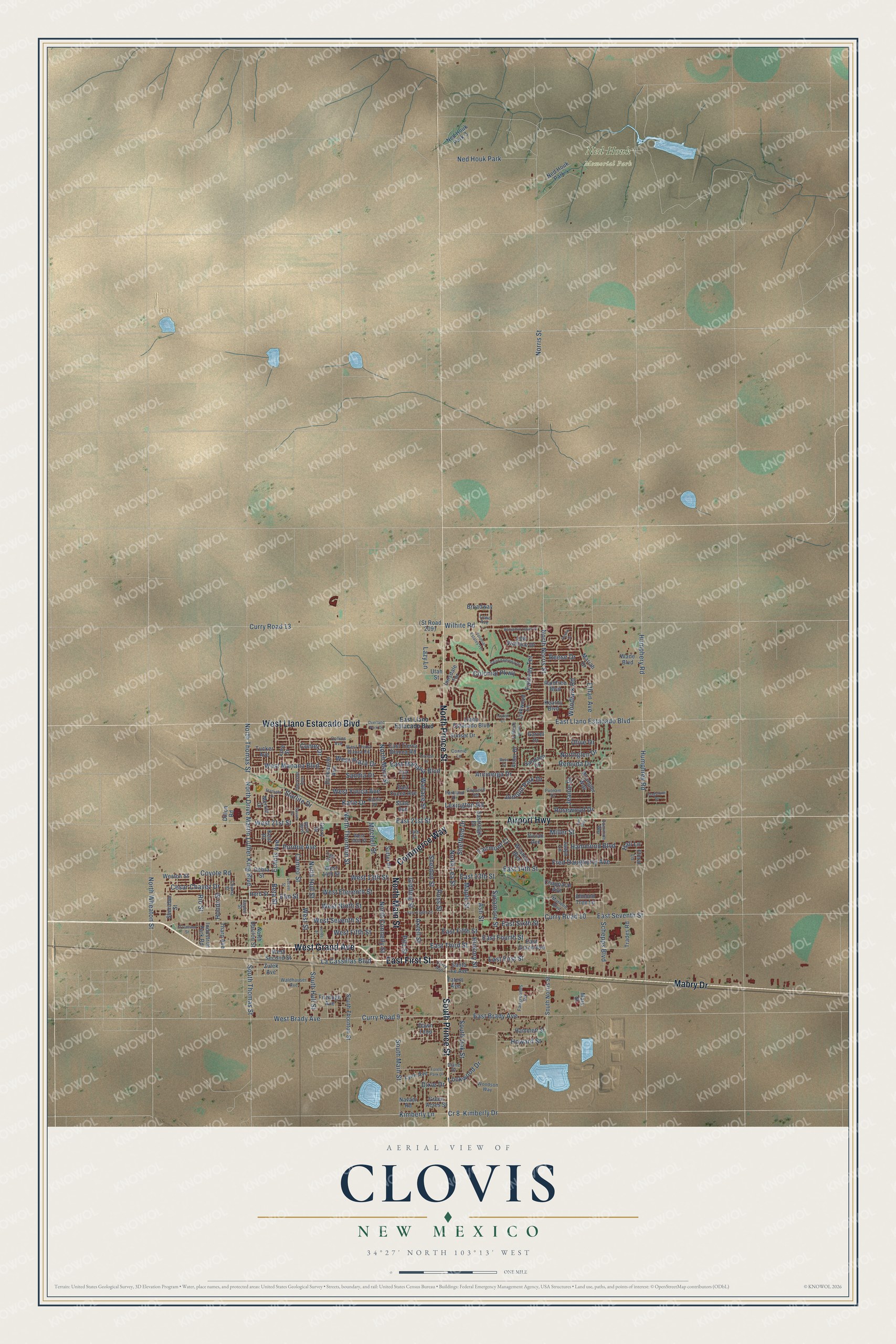
This beautifully detailed map of Clovis, New Mexico was created in 2026 using aerial imagery combined with modern topographical, census, street and landmark data. It’s a one-of-a-kind view of Clovis that combines accurate data with a vintage aesthetic. The map shows every building in its true location, many of the roads carry their names, and the shaded topographic relief shows the shape of the land.
Explore an aerial view of Clovis, New Mexico
On the map you’ll find Ned Houk Memorial Park, along with East First Street, Mabry Drive, North Prince Street, South Prince Street, North Main Street, West Grand Avenue, Airport Highway, West Llano Estacado Boulevard, Commerce Way, North Norris Street, North Drive Martin Luther King Boulevard, and more. If you look closely you can even find your house accurately drawn in its correct location. Zoom in on the preview to look for yours.
Did you know this piece of Clovis, New Mexico history?
From the New Mexico Tourism Department: "After his success with Buddy Holly, Norman Petty expanded his Clovis operation in 1960 by buying the Mesa Theater on Main Street in Clovis for another recording studio. In 1963, he started KTQM, the area’s first FM radio station, broadcasting country music and later, Top 40 hits."
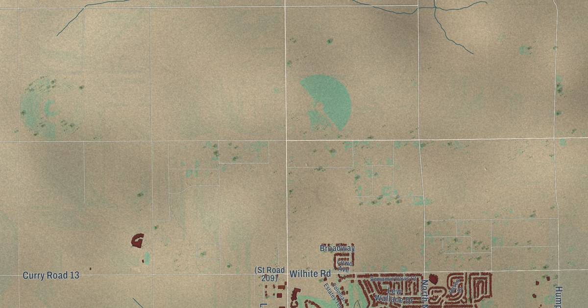
Take a closer look at the Clovis map
Street and place names on the Clovis, New Mexico map
These names are printed on the map of Clovis, New Mexico.
Places: Ned Houk Memorial Park and Ned Houk Park.
Streets and roads: East First Street, Mabry Drive, North Prince Street, South Prince Street, North Main Street, West Grand Avenue, Airport Highway, West Llano Estacado Boulevard, Commerce Way, North Norris Street, North Drive Martin Luther King Boulevard, Norris Street.
More street names, A to Z
19th Street, Almond Tree Lane, Arbor Drive, Arcineiga Drive, Ash Street, Aspen Street, Axtell Street, Benjamin Davis Court, Beta Street, Bosc Court, Broadway, Cameo Street, Cesar Chavez Drive, Chama Street, Chapparal Avenue, Collins Avenue, Colonial Estates Terrace, Colonial Parkway, Comer Drive, Concord Road, Connie Lane, Coyote Road, Cr 8, Curry Avenue, Curry Road 9, Curry Road 10, Curry Road 13, Dawn Loop, Debra Street, Diane Drive, Dillon Road, Dixie Drive, Dominion Way, Duckworth Avenue, East 13th Street, East 14th Street, East 21st Street, East Brady Avenue, East Eighth Street, East Fifth Street, East Fourth Street, East Grand Avenue, East Llano Estacado Boulevard, East Manana Boulevard, Eastridge Drive, East Seventh Street, East Sixth Street, East Third Street, East Tierra Blanca Road, East Yucca Avenue, Echols Avenue, El Camino Street, Elm Street, Ethan Avenue, Fairgrounds Road, Fairmont Court, Fairway Terrace, Fitzhugh Avenue, Flagstone Drive, Floral Lane, Forest Park Drive, Fred Daugherty Avenue, Garret Drive, Gerry Drive, Gidding Street, Green Acres Street, Hali Lane, Hammett Street, Hammond Boulevard, Harrison Avenue, Herb Street, Hickory Street, Hondo Street, Howard Street, Humphery Road, Humphrey Road, Industrial Park Road, Innsdale Terrace, Jadyn Lane, Jane Way, Jeanie Drive, Jones Street, Jonquil Park Drive, Kathie Drive, Katie Drive, Kearny Boulevard, Kent Place, Kimberly Drive, Kimberly Lane, La Cassillas Boulevard, Layton Court, Lazy Lane, Lew Wallace Drive, Lexington Road, Linkwood Lane, Llano Estacado Boulevard, Lockwood Drive, Locust Street, Lore Street, Lowe Avenue, Lynn Avenue, Maple Street, Mariah Drive, Marlene Boulevard, Mary Street, Merrill Drive, Miller Street, Mitchell Street, Navajo Road, Ned Houk Park 3, Ned Houk Park 4, North Connelly Street, Northglen Drive, North Hull Street, North Lea Street, North Thomas Street, North Thornton Street, North Upsilon Street, North Village Drive, North Wheaton Street, Olive Drive, Overland Park Drive, Park Drive, Parkland Drive, Pile Street, Purdue Avenue, Putnam Drive, Raintree Boulevard, Raven Drive, Reese Drive, Remuda Drive, Rio Street, Rosa Boulevard, Rosewood Drive, Ross Street, Saint Andrews Drive, Sandia Drive, Sandzen Drive, Santa Fe Avenue, Sasser Drive, Schepps Boulevard, Sheffield Drive, Sheldon Street, Sheridan Street, South Hull Street, South Main Street, South Norris Street, South Oak Street, South Thomas Street, South Thornton Street, Starlight Drive, Starlite Drive, State Avenue, Sunset Drive, Sutter Place, Sycamore Street, Tatum Avenue, Tharp Avenue, Torreon Drive, Trades Road, Tucker Avenue, Utah Street, Vivian Avenue, Wade Boulevard, Waldhauser Avenue, Wallace Street, West 13th Street, West 14th Street, West 18th Street, West 21st Street, West Brady Avenue, West Eleventh Street, West Fifth Street, West Manana Boulevard, West Ninth Street, Weston Street, West Plaza Drive, West Second Street, West Seventh Street, West Street, West Tierra Blanca Road, West Yucca Avenue, Wilhite Road, Wilshire Boulevard, Woodlark Road, Woodson Way, Wrangler Way, Yale Street, Zulek Avenue.
See the Clovis, New Mexico map on a wall
The Clovis map as an 18 x 24 inch print in a black frame.

This beautifully detailed map of Clovis makes an attractive addition to your office, library, or den, and it can even be used to teach children the geography and history of the area. It also makes a great gift for anyone who grew up in Clovis or moved away. When you’re done exploring, click here to get your copy of the Clovis map.