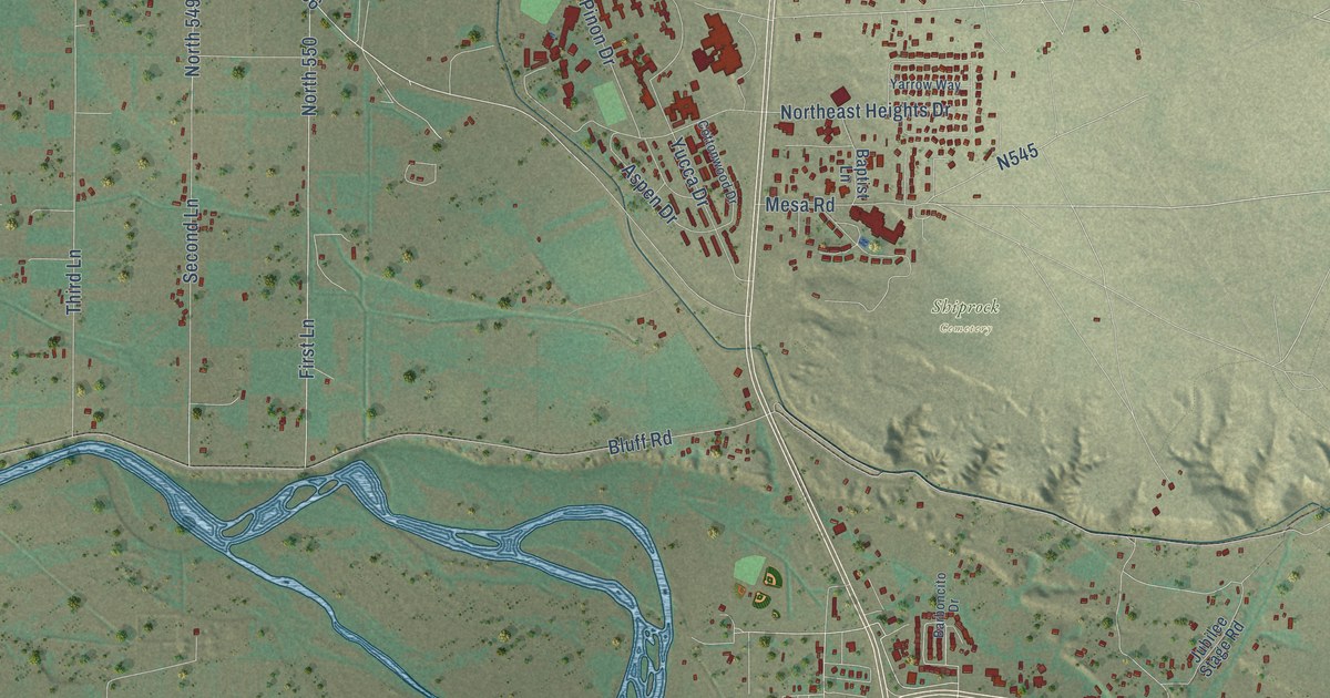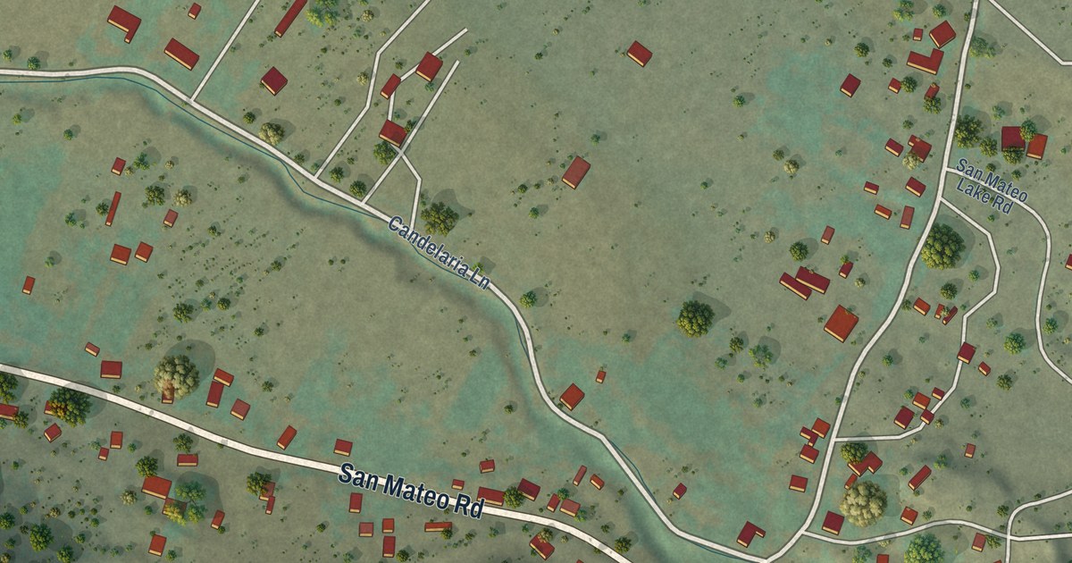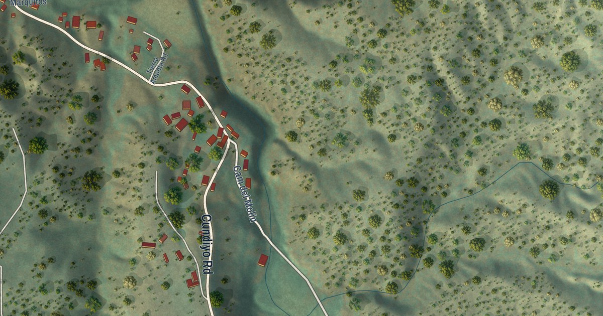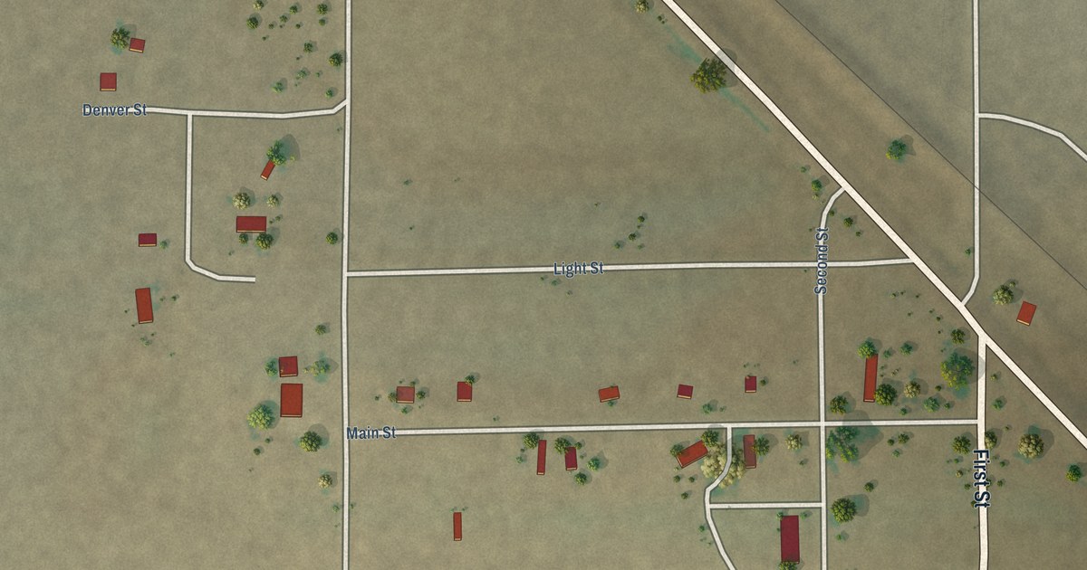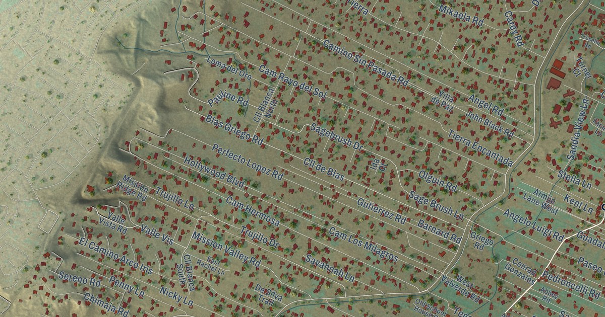
This beautifully detailed map of Corrales, New Mexico was created in 2026 using aerial imagery combined with modern topographical, census, street and landmark data. It’s a one-of-a-kind view of Corrales that combines accurate data with a vintage aesthetic. The map shows every building in its true location, many of the roads carry their names, and the shaded topographic relief shows the shape of the land.
Explore an aerial view of Corrales, New Mexico
On the map you’ll find Corrales Bosque, Cam Hermosa, and West La Entrada, along with Corrales Road, Coors Boulevard Northwest, Loma Larga Road, Cabezon Road, West Meadowlark Lane, Mission Valley Road, Hollywood Boulevard, Sagebrush Drive, West Ella Drive, and more. If you look closely you can even find your house accurately drawn in its correct location. Zoom in on the preview to look for yours.
Did you know this piece of Corrales, New Mexico history?
From the Rio Rancho Observer: "Until the late 1960s, that area just north of the Bernalillo/Sandoval County line and west of the Rio Grande was known as Los Corrales."
Take a closer look at the Corrales map
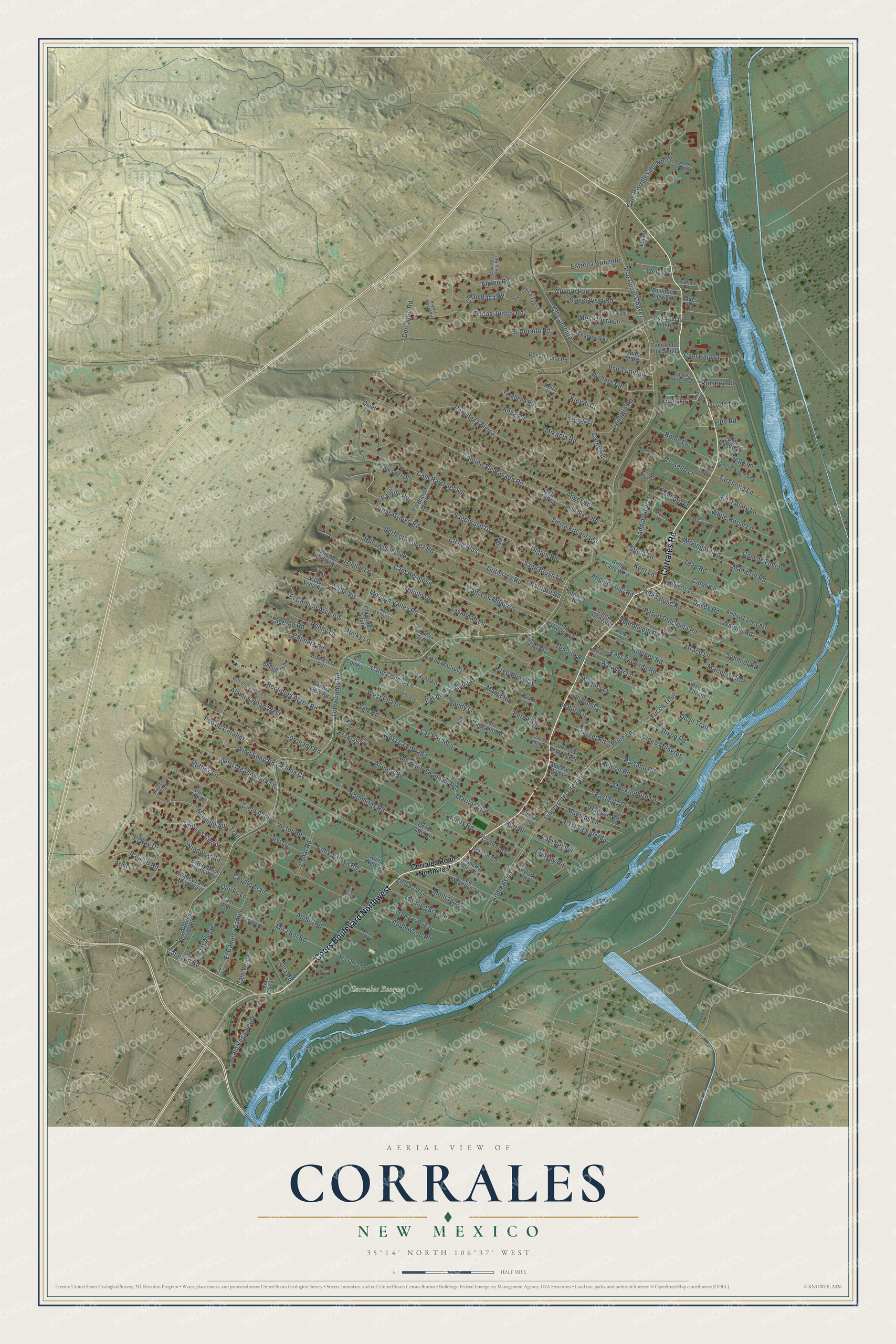
Street and place names on the Corrales, New Mexico map
These names are printed on the map of Corrales, New Mexico.
Places: Corrales Bosque.
Streets and roads: Corrales Road, Coors Boulevard Northwest, Loma Larga Road, Cabezon Road, Cam Hermosa, West Meadowlark Lane, Mission Valley Road, Hollywood Boulevard, Sagebrush Drive, West La Entrada, West Ella Drive, Coronado Road.
More street names, A to Z
Aaramar Lane, Abbey Road, Alamos Road, Alamos Road West, Albino Road, Andrews Lane, Angelo Luigi Road, Angel Road, Angus Road, Anya Road, Applewood Road, Arabian Lane, Armijo Lane East, Armijo Lane West, Ashley Lane, Ashley Lane Northwest, August Mader Road, Barnard Road, Bennett Lane, Benscics Road, Bessom Lane, Blas Griego Road, C'De Baca Road, Cadillo Lane, Calle Conejo Lane, Cam Alto, Cam Bajada, Cam Campo, Cam Corrales del Norte, Cam de Claudio, Cam de la Paloma, Cam de Las Brisas, Cam de la Tierra, Cam del Oro, Cam del Sol, Cam de Lucia, Cam de Maya, Camino Sin Pasada Road, Cam Los Cerros, Cam Los Milagros, Cam Rayo del Sol, Cam Todos Los Santos, Cam Vega Verde, Cam Verde, Canal Road, Candi Lane, Carey Road, Carty's Lane, Chaparral Lane, Chaves Lane, Chimaja Road, Cielo Azul, Cinco Milagros, Cll Blanca North, Cll Blanca South, Cll Bonita, Cll Conejo, Cll Contenta, Cll de Blas, Cmt Alegre, Conrad Gonzales, Coroval Road, Corrales Road Northwest, Coyote Canta Road, Coyote Run, Coyote Trail, Dancing Horse Lane, Davey Road, Desert Luna Road, Desert Willow Road, De Silva Trail, Devon John Lane, Dina Nelson, Dixon Road, Don Julio Road, Don Quijote Court, Don Tomas, Doolittle Road, East Alary Lane, East Ella Drive, East La Entrada, East Meadowlark Lane, East Rachel Lane, East Valverde Road, El Camino Arco Iris, El Camino Campo, El Dorado Road, Elena Court, El Rey Drive, El Rey Drive Northwest, Ent de Las Animas, Ent de Martinez, Estrella Brillante, Faculty Lane, Felix Tafoya Road, Frances Lane, Freedom Way, Grace Lane, Green Lane, Griego Road, Guadalupe Road, Gutierrez Road, Hansen Road, Hop Tree Trail, Huff Road, Ida Court, John Black Road, Jones Road, Keira Court, Kent Lane, Kiersti Court, Kings Lane, Kings Road, Knott Lane, Laker Drive, La Pasada de Anacleto, Las Paredes, Laura Lane, Levi Lane, Lindero del Drenaje, Lipe Road, Loma del Oro, Los Arboles Verde Road, Los Manzanos Road, Lujan Court, Lujo de Tres, Maes Road, Maestas Lane, Mama Road, Manierre Road, Manzano Road, Mariquita Road, Maritnez Road, Mesa Vista Lane, Mikaela Road, Mira Sol Road, Mission Ridge Road, Mockingbird Lane, Mocking Bird Lane, Montano Lane, Moongate Road, Morning Star Lane, Morning Sun Trail, Mountain Shadows Road, Mountain View Lane, Nicky Lane, Old School House Road, Olguin Road, Orchard Lane, Paisano Road, Palacio Road, Paseo Dulcelina Road, Pauline Road, Pedroncelli Road, Penny Lane, Perea Lane, Perea Road, Perfecto Lopez Road, Price Lane, Priestly Road, Pso Cesar Chavez, Pso de Coralles, Pso de Lovato, Pso Tomas Montoya, Pso Trinidad, Quail Trail, Quiet Lane, Quirks Lane, Ranchitos Road, Rancho Alondra Road, Reclining Acres Road, Reed Lane, Richard Road, Rincon Road, Rome Lane, Romero Road, Ruffles Lane, Ruperts Lane, Sage Brush Lane, Saiz Road, Sanchez Road, Sandia View Lane, Sandia View Road, Sandy Lane, Santa Maria, Savannah Lane, Schmidt Road, Sego Lane, Sereno Road, Sherlock Court, Sherri Court, Sierra Vista Road, Skylark Lane, Starline Road, Stella Lane, Stevie Rays Way, Sylvia Lane, Target Road, Targhetta Lane, Targhetta Road, Tayne Lane, Tenorio Road, Thanes Way, Tierra de Corrales Road, Tierra Encantada, Toad Road, Todos Juntos Road, Trosello Lane, Trosello Road, Trujillo Drive, Trujillo Lane, Turner Court, Uva Road, Valle Vis, Valle Vista Road, Via Faisan, Via Oreada, Victor Road, Villa de Paz, Wagner Lane, Walden Road, Western Mesa Road, West Valverde Road, White Horse Lane, Windover Road, Wind Song Road, Yucca Trail.
See the Corrales, New Mexico map on a wall
The Corrales map as an 18 x 24 inch print in a black frame.

This beautifully detailed map of Corrales makes an attractive addition to your office, library, or den, and it can even be used to teach children the geography and history of the area. It also makes a great gift for anyone who grew up in Corrales or moved away. When you’re done exploring, click here to get your copy of the Corrales map.