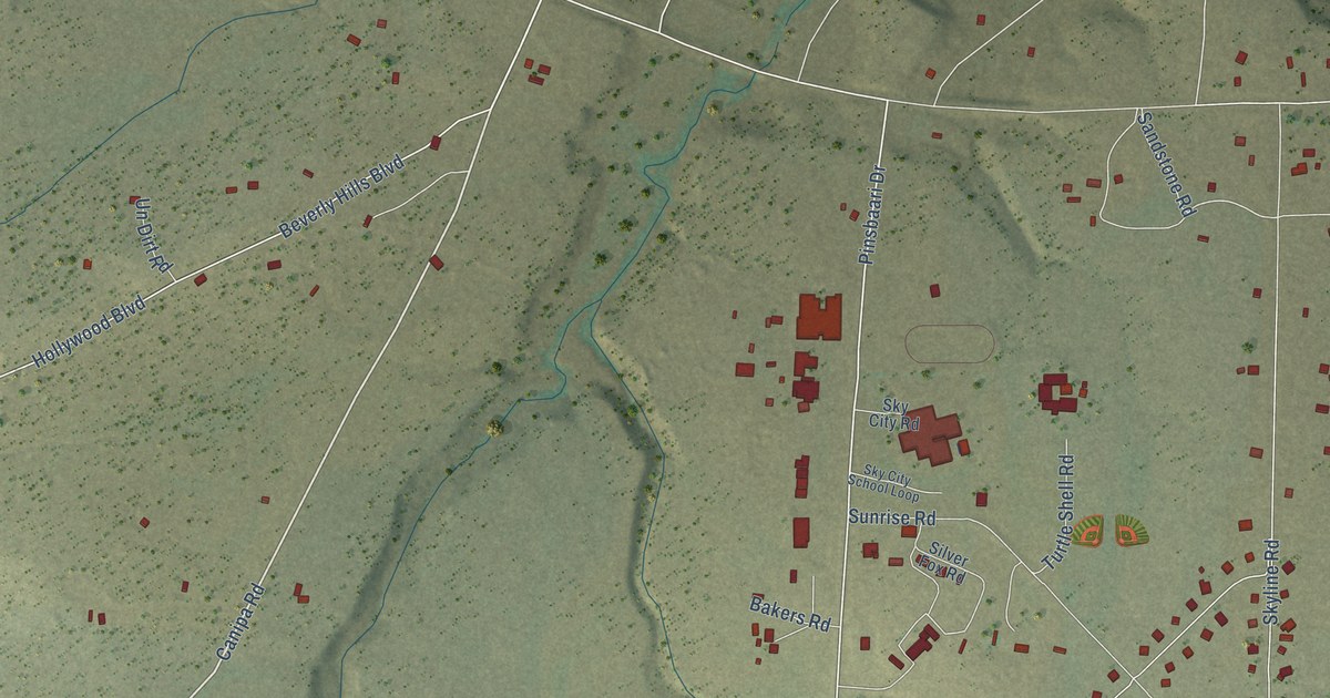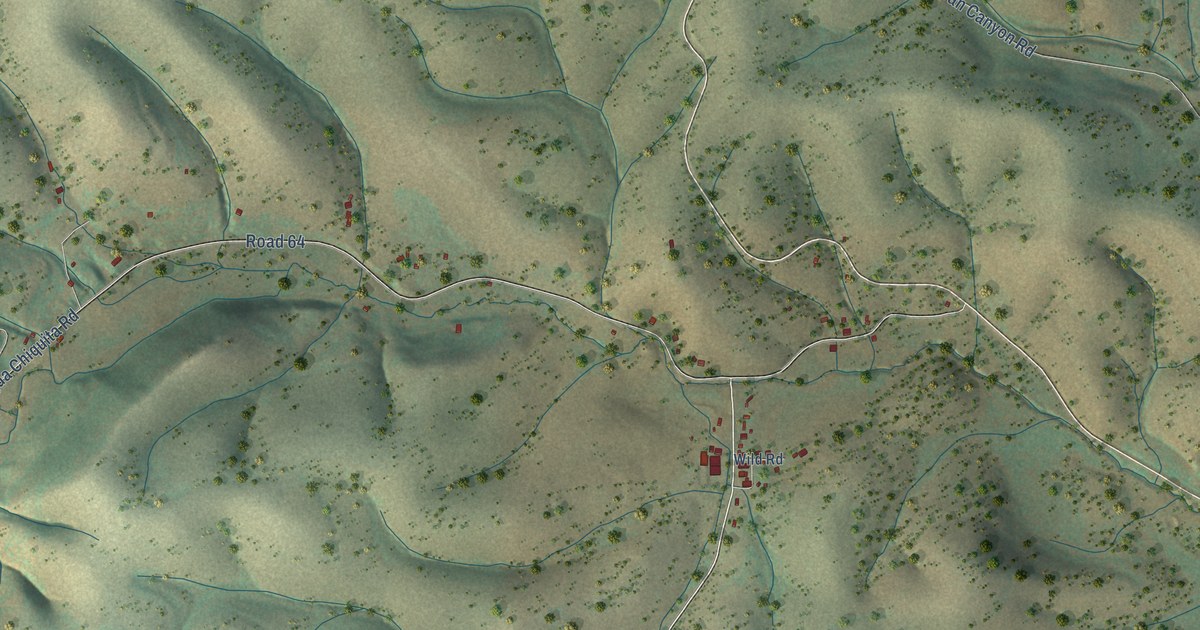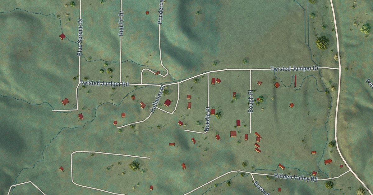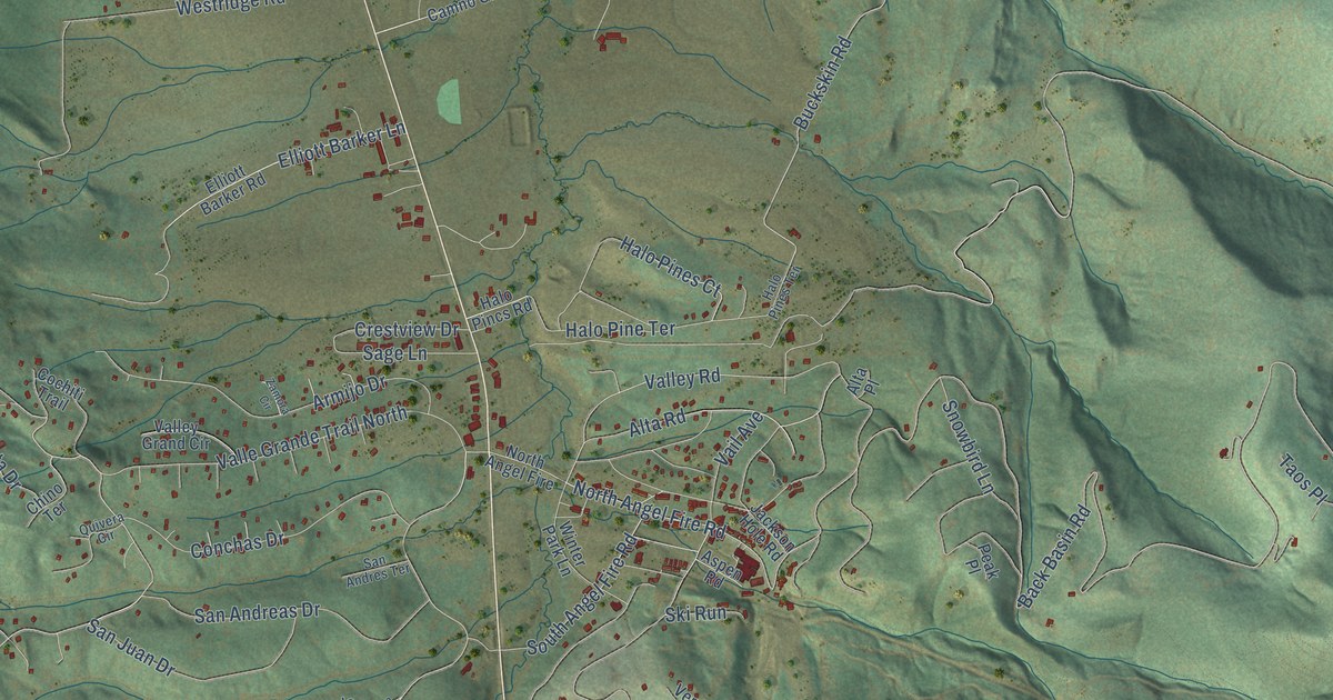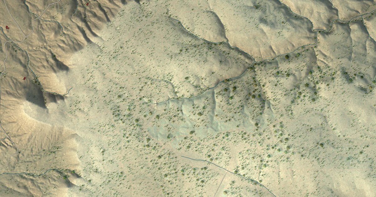
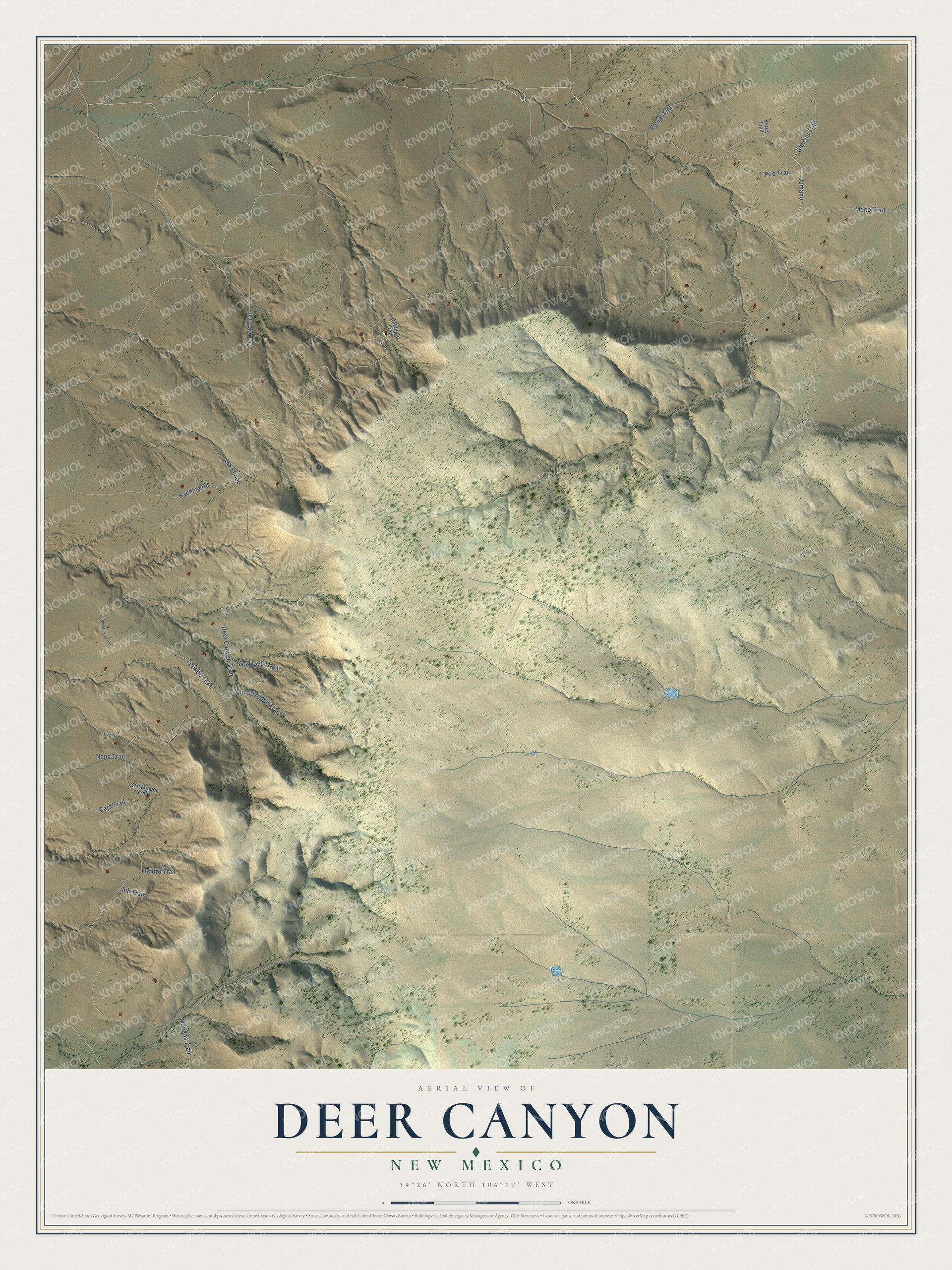
This beautifully detailed map of Deer Canyon, New Mexico was created in 2026 using aerial imagery combined with modern topographical, census, street and landmark data. It's a modern aerial view of Deer Canyon in Torrance County, New Mexico, that combines modern data with a vintage aesthetic. The roads feature printed names, and if you look closely you can find your exact house accurately shown in its correct location.
Explore an aerial view of Deer Canyon, New Mexico
On this map you'll find Deer Canyon Trail, Jumano, Victorio Trail, Moho Trail, Tenabo Trail, Inca Loop, Kachina Road, Arenal Trail, Piro Trail, Senecu Trail, San Mateo Trail, Mangas Trail, and more. Each red shape is a building, so zoom in on the preview and look for yours.
Deer Canyon has a story worth telling. In 2012 about 5,187 acres around and among the homes of Deer Canyon Preserve were protected by a donated conservation easement. The land lies on the western edge of Chupadera Mesa, in pinon-juniper woodland and open grassland that is home to elk, mule deer, black bear, mountain lion, golden eagles and turkeys. Together with the neighboring Goat Canyon easement on top of the mesa, it keeps a large tract of open space in an area facing development pressure. That's from the New Mexico Land Conservancy.
Deer Canyon is a community in Torrance County. The Census Bureau counted 74 people here in 2020.
Take a closer look at the Deer Canyon map
Names on this map
These names are printed on this map.
Streets and roads: Deer Canyon Trail, Jumano, Victorio Trail, Moho Trail, Tenabo Trail, Inca Loop, Kachina Road, Arenal Trail, Piro Trail, Senecu Trail, San Mateo Trail, Mangas Trail.
More street names, A to Z
Caje Trail, Daklugie Trail, Isidoro Trail, Juh Trail, Keres Trail, Nana Trail, San Cristobal Trail, San Marcial Trail, San Miguel Trail.
See it on a wall
The Deer Canyon map as a framed print. Swipe for more.


Created by KNOWOL in 2026. The buildings are small red shapes, the roads carry their printed names, and shaded relief shows the shape of the land. The title panel reads "AERIAL VIEW OF DEER CANYON, NEW MEXICO" with 34°26' NORTH 106°17' WEST.
It looks right in a kitchen, an office or a den, and it's a gift for anyone who grew up in Deer Canyon or moved away. Open the preview and find your street. See sizes and frames for the Deer Canyon map.