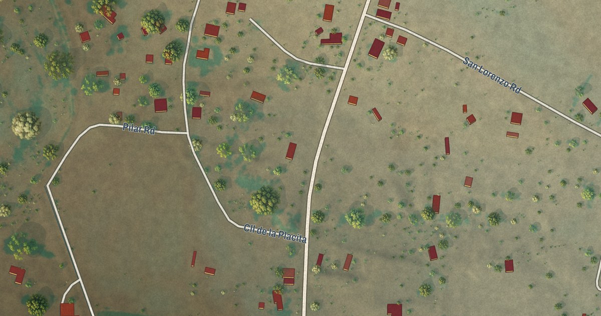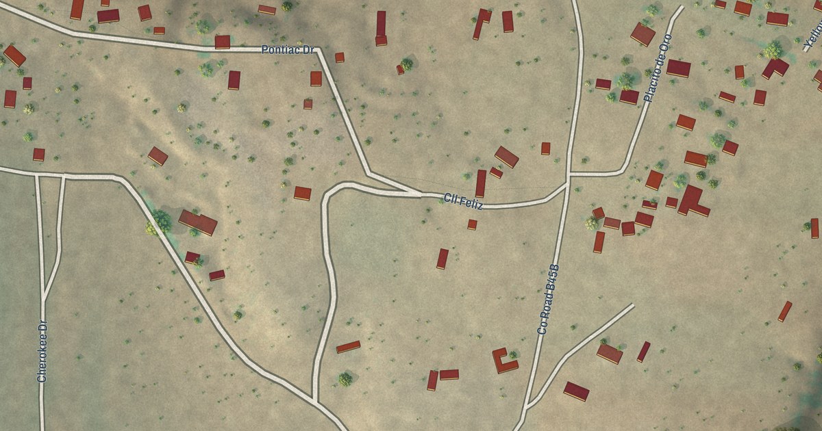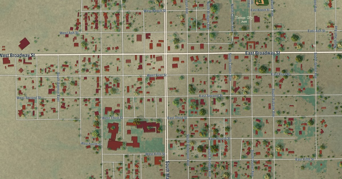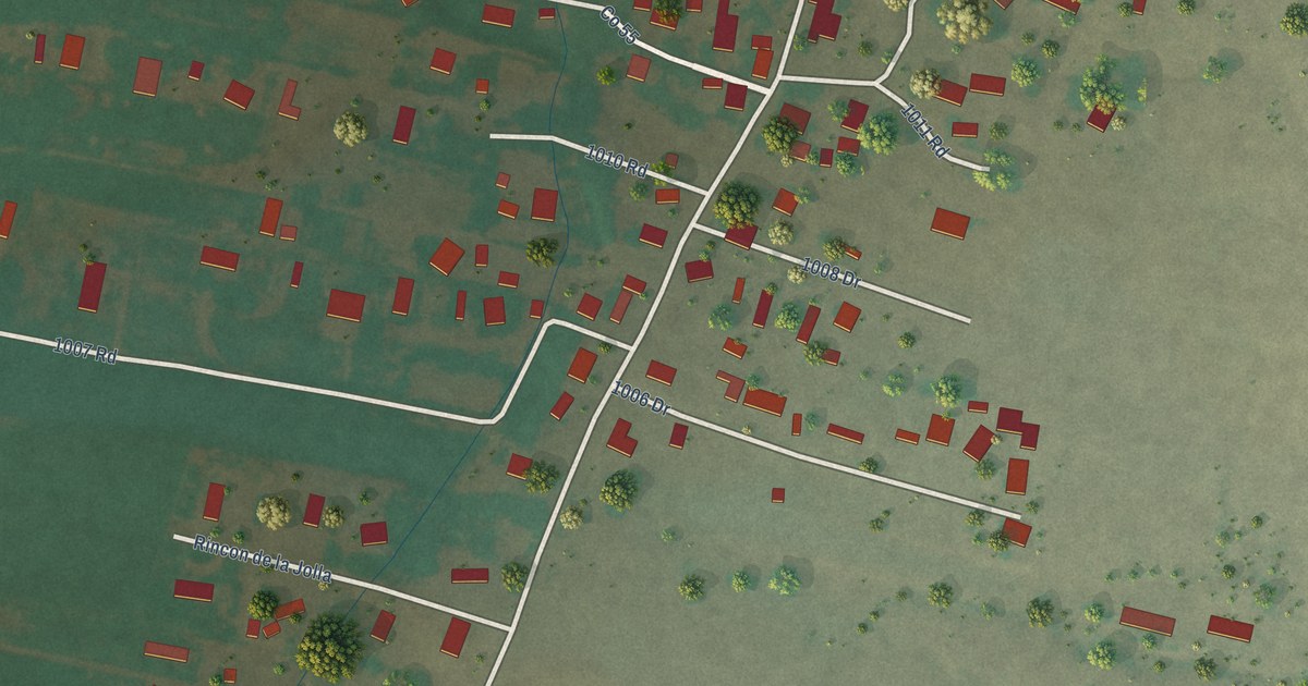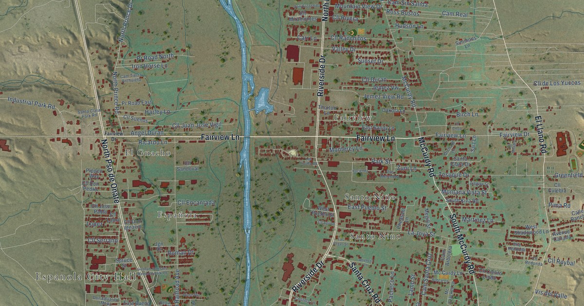
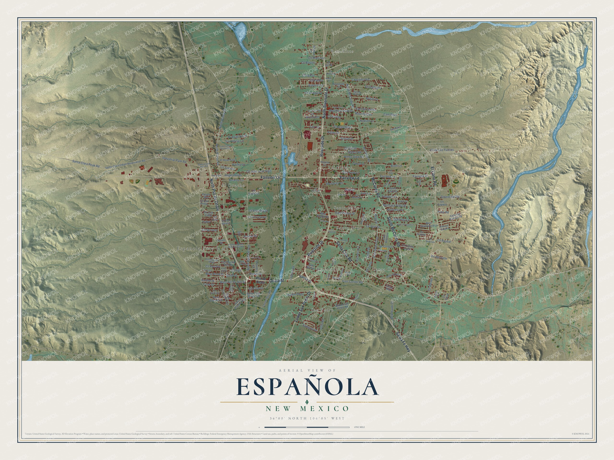
This beautifully detailed map of Española, New Mexico was created in 2026 using aerial imagery combined with modern topographical, census, street and landmark data. It’s a one-of-a-kind view of Española that combines accurate data with a vintage aesthetic. The map shows every building in its true location, many of the roads carry their names, and the shaded topographic relief shows the shape of the land.
Explore an aerial view of Española, New Mexico
On the map you’ll find Espanola City Hall, Ranchitos, El Guacho, Fairview, Riverside, San Pedro, Santa Cruz, Santo Nino, and Santo Niño, along with Santa Fe Highway, Fairview Lane, and more. If you look closely you can even find your house accurately drawn in its correct location. Zoom in on the preview to look for yours.
Did You Know?
From the New Mexico Tourism Department: "Española was the original capital of the first European settlement in the United States. Originally called San Gabriel, it was settled in 1598 in the Yungue Uingue (Ohkay Owingeh) Pueblo near the joining of the Rio Chama and Rio Grande."
Take a closer look at the Española map
Names on this map
These names are printed on this map.
Places: Espanola City Hall, Ranchitos, Fairview, Santa Cruz, El Guacho, San Pedro, Santo Niño, Riverside and Santo Nino.
Streets and roads: Santa Fe Highway, Fairview Lane, Onate Street, McCurdy Road, Riverside Drive, Lower San Pedro Drive, North Pso de Onate, North Riverside Drive, Santa Cruz Road, El Llano Road, South McCurdy Road, North Prince Road.
More street names, A to Z
1324 Road, Aaron Lane, Angel Duran, Attencio Lane, Avenue Canada, Baker Street, Barbee Street, Bellas Lane, Birch Lane, Bobcat Lane, Bond Street, Calle del Rancho Road, Calle Vigil Street, Cam Arbolera, Cam del Sol, Cam Escondido, Cam Real, Cam Santa Cruz, Cam Sin Salida, Cam Tierra Archuieta, Carr Lane, Chacoma Vis, Cll Acequias, Cll Adrien, Cll Aguilar, Cll Amorada, Cll Bustos, Cll Chavez, Cll Chico, Cll Cielito Lindo, Cll Culebra, Cll de Los Yuccas, Cll del Rio, Cll Don Diego, Cll Don Ignacio, Cll Don Leandro, Cll Don Pedro, Cll Duran, Cll Encantada, Clle Redonda, Cll Espinosa, Cll Gallegos, Cll Jose Pablo, Cll Juan Jose Vigil, Cll la Paz, Cll Loma, Cll Lucia, Cll Martinez, Cll Milagro, Cll Miramontes, Cll Naranjo, Cll Olivas, Cll Quintana, Cll Ranchitos, Cll Redonda, Cll Rivera, Cll Rosario, Cll Roybal, Cll Sandoval, Cll Serrano, Cll Sierra, Cll Suenos, Cll Valdez, Cll Vigil, Cll Virgil, Cook Street, Costilla Lane, Dakota Lane, Delta Lane Street, East Buena Vista Street, East Corlett Road, East Jiron Street, East Pueblo Street, East Sandy Lane, Esparza Lane, Fairview Drive, Fresqis Street, Greenfield Road, Hacienda, Hamm Parkway, Harley Lane, Hennigan Road, Hill Street, Holly Cross Street, Hudson Lane, Hunter Street, Indian Way, Industrial Park Road, Iron Horse Lane, James Thompson Lane, Jemez View Road, Jemez Vw, Jgn Drive, Laguna Road, La Joya Street, Lamb Street, Las Vegas Street, Levee Svc Road, Lopez, Los Trujillo Road, Martinez Lane, Mc Cracken Lane, Mc Curdy Lane, Medinas Lane, Megill Street, Middle San Pedro Road, Montana Vista Street, Monterey Lane, Mountain View Drive, North McCurdy Road, North Prince Drive, North Railroad Avenue, Old Los Alamos Highway, Orchard Lane, Pacheco Lane, Park Street, Pheasant Lane, Pima Road, Pippen Way, Pr Road East, Pr Road North, Pso de Onate, Pso de Paulina, Pso Don Juan, Pso Melendez, Rancho Vista Street, Red Hawk Court, Ricardo Lane, Roman Drive, Roosevelt Street, Ross Bustos, Saiz Lane, Sandia Drive, Santa Clara Bridge Road, Santa Clara Drive, Santa Clara Indian Reservation Road, Santa Clara Park Road, Santa Clara Peak Road, Simmons Lane, Somgras Drive, South Coronado Avenue, South Kiva Road, Spruce Street, Sunset Drive, Tesuque Drive, Thorton Lane, Valley Drive, Vietnam Veterans Memorial Park Road, Vis del Valle, West Bond Street, West Granada Street, West Hill Street, West Pueblo Street, West Shadowood Lane, Woods Road, Ziegler Street, Zuni Lane.
See it on a wall
The Española map as an 18 x 24 inch print in a black frame.

This beautifully detailed map of Española makes an attractive addition to your office, library, or den, and it can even be used to teach children the geography and history of the area. It also makes a great gift for anyone with Española roots. When you’re done exploring, click here to get your copy of the Española map.