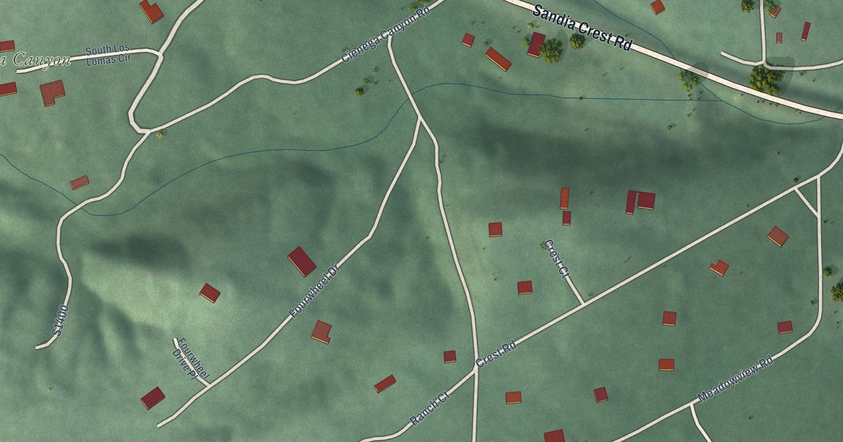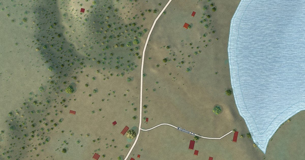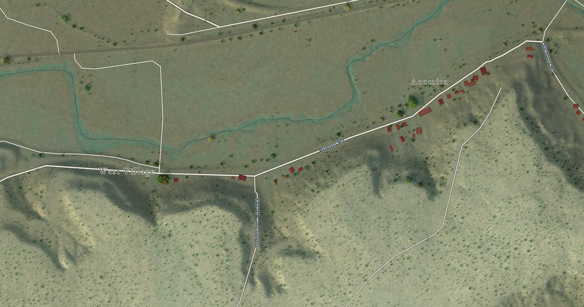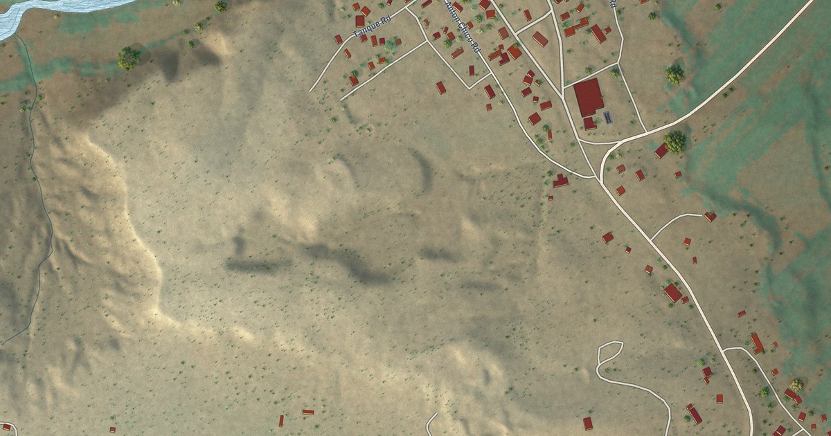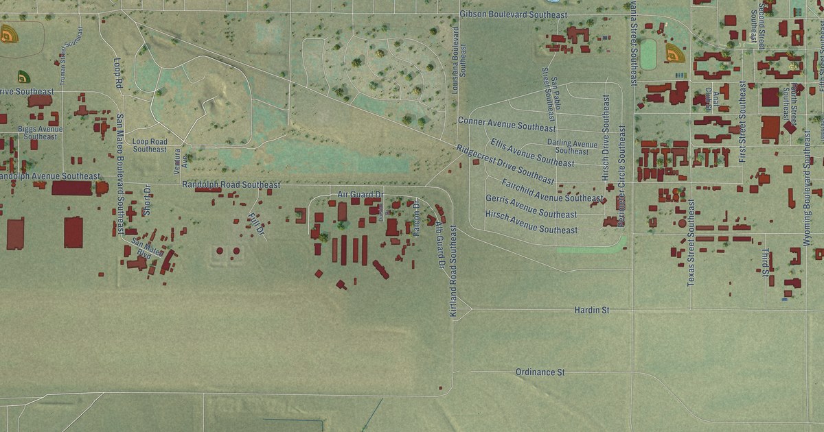
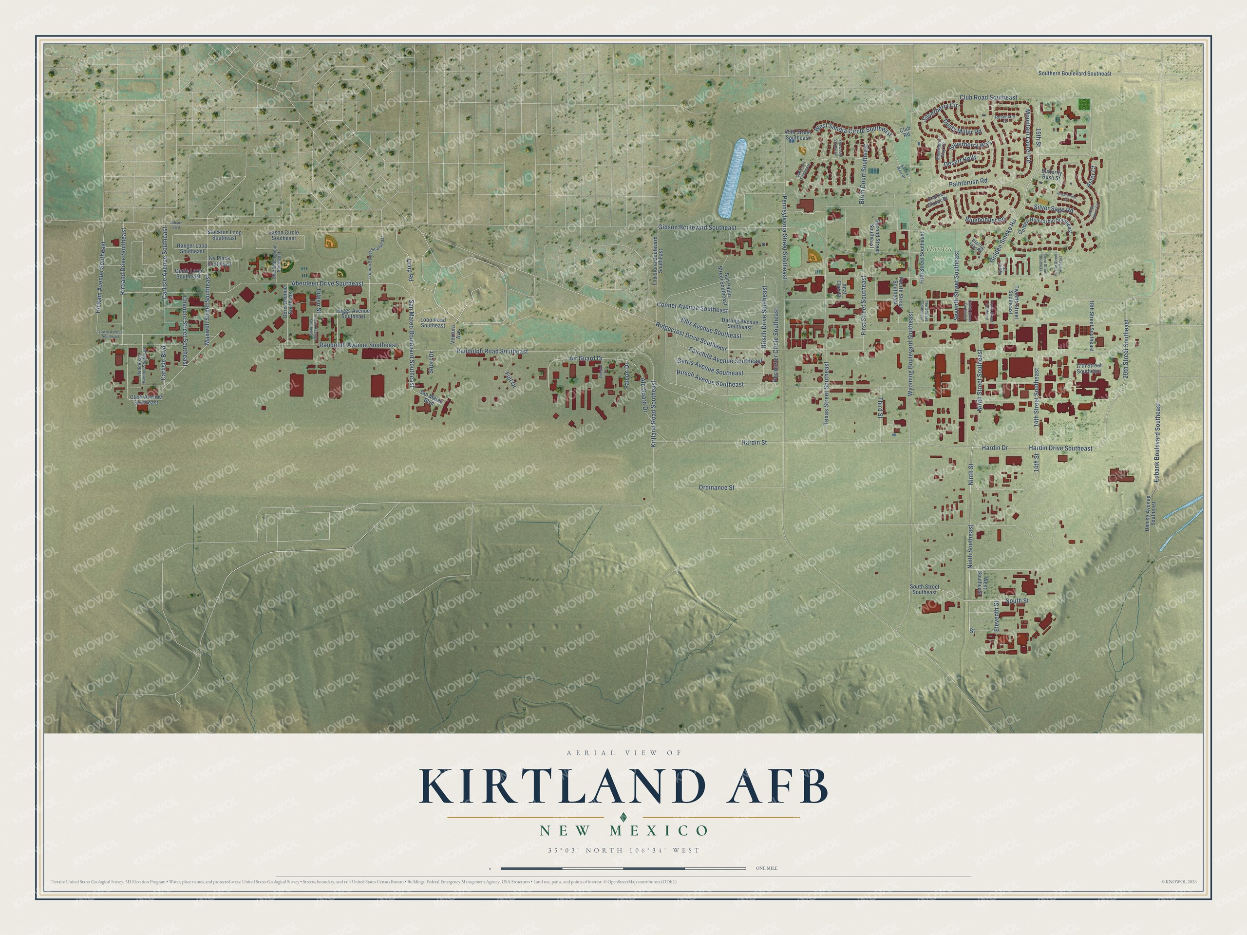
This beautifully detailed map of Kirtland AFB, New Mexico was created in 2026 using aerial imagery combined with modern topographical, census, street and landmark data. It's a modern aerial view of Kirtland AFB in Bernalillo County, New Mexico, that combines modern data with a vintage aesthetic. The roads feature printed names, and if you look closely you can find your exact house accurately shown in its correct location.
Explore an aerial view of Kirtland AFB, New Mexico
On this map you'll find Hardin Field, Bluebonnet Road, Ninth Street, Ninth Southeast, Kirtland Drive Southeast, Carlisle Avenue Southeast, Hardin Drive, Hardin Drive Southeast, 20th Street Southeast, Ridgecrest Drive Southeast, Mountain Laurel Circle, Pennsylvania Street Southeast, and more. Each red shape is a building, so zoom in on the preview and look for yours.
Kirtland AFB is a community in Bernalillo County. The Census Bureau counted 3,838 people here in 2020. Kirtland AFB sits about 6 miles west of Carnuel, 6 miles southeast of Albuquerque and 7 miles east of South Valley. The map prints the town name in its title panel, with the coordinates below it.
Take a closer look at the Kirtland AFB map
Names on this map
These names are printed on this map.
Places: Hardin Field.
Streets and roads: Bluebonnet Road, Ninth Street, Ninth Southeast, Kirtland Drive Southeast, Carlisle Avenue Southeast, Hardin Drive, Hardin Drive Southeast, 20th Street Southeast, Ridgecrest Drive Southeast, Mountain Laurel Circle, Pennsylvania Street Southeast, Wyoming Boulevard Southeast.
More street names, A to Z
14th Street, 14th Street Southeast, 15th Street, 17th Street Southeast, 18th Street Southeast, 45th Street Southeast, Aberdeen Drive Southeast, Air Guard Drive, Alb Guard Drive, Anaf Club Street, Arroyo Lupine Circle, Aster Court, Biggs Avenue Southeast, Birch Court Southeast, Blazing Star Road, Butterfly Bush Street, Carlisle Boulevard, Chanute Street Southeast, Charlene Avenue Southeast, Clark Avenue Southeast, Club Road, Club Road Southeast, Conner Avenue Southeast, Darling Avenue Southeast, Denise Avenue Southeast, Desert Holly, Doris Avenue Southeast, Dorsian Drive, Dusty Miller Road, Eighth Street Southeast, Eileen Avenue Southeast, Eileen Street, Eleventh Street, Ellis Avenue Southeast, Elm Court Southeast, Erwin Street Southeast, Eubank Boulevard Southeast, Fairchild Avenue Southeast, Falcon Drive, Fifth Street Southeast, First Street Southeast, Foster Street Southeast, Fourth Street Southeast, Full Drive, Genie Loop Southeast, Gerris Avenue Southeast, Gibson Boulevard, Gibson Boulevard Southeast, Golden Rod Circle Southeast, Golden Smoke Road, Hardin Street, Henderson Avenue Southeast, Hickam Avenue Southeast, Hirsch Avenue Southeast, Hirsch Drive Southeast, Ivy Place Southeast, Jason Circle Southeast, Kirtland Road Southeast, Loop Road, Loop Road Southeast, Louisiana Boulevard Southeast, Lowry Avenue Southeast, Maxwell Street Southeast, Ninth Street Southeast, Oak Court Southeast, Ordinance Street, Paintbrush Road, Penstemon Court, Perimeter Circle Southeast, Prairie Clover Place, Randolph Avenue Southeast, Randolph Road Southeast, Ranger Loop Southeast, Rosemary Court, Sandia West Drive, San Mateo Boulevard, San Mateo Boulevard Southeast, San Pablo Street Southeast, Second Street Southeast, Seventh Street Southeast, Short Drive, Silverberry Circle, Silverberry Way, Silverberry Way Circle, Silver Sage Road, Southern Boulevard Southeast, South Street, South Street Southeast, Stockton Loop Southeast, Street, Tenth Street Southeast, Texas Street Southeast, Third Street, Third Street Southeast, Truman Street Southeast, Twelfth Street Southeast, Ventura Avenue, Ward Place, West Sandia Circle Southeast, West Southeast.
See it on a wall
The Kirtland AFB map as a framed print. Swipe for more.


Created by KNOWOL in 2026. The buildings are small red shapes, the roads carry their printed names, and shaded relief shows the shape of the land. The title panel reads "AERIAL VIEW OF KIRTLAND AFB, NEW MEXICO" with 35°03' NORTH 106°34' WEST.
Hang it in the hallway, the office or the cabin, or give it to someone who left Kirtland AFB and still calls it home. Open the preview and look for a street you know. See sizes and frames for the Kirtland AFB map.