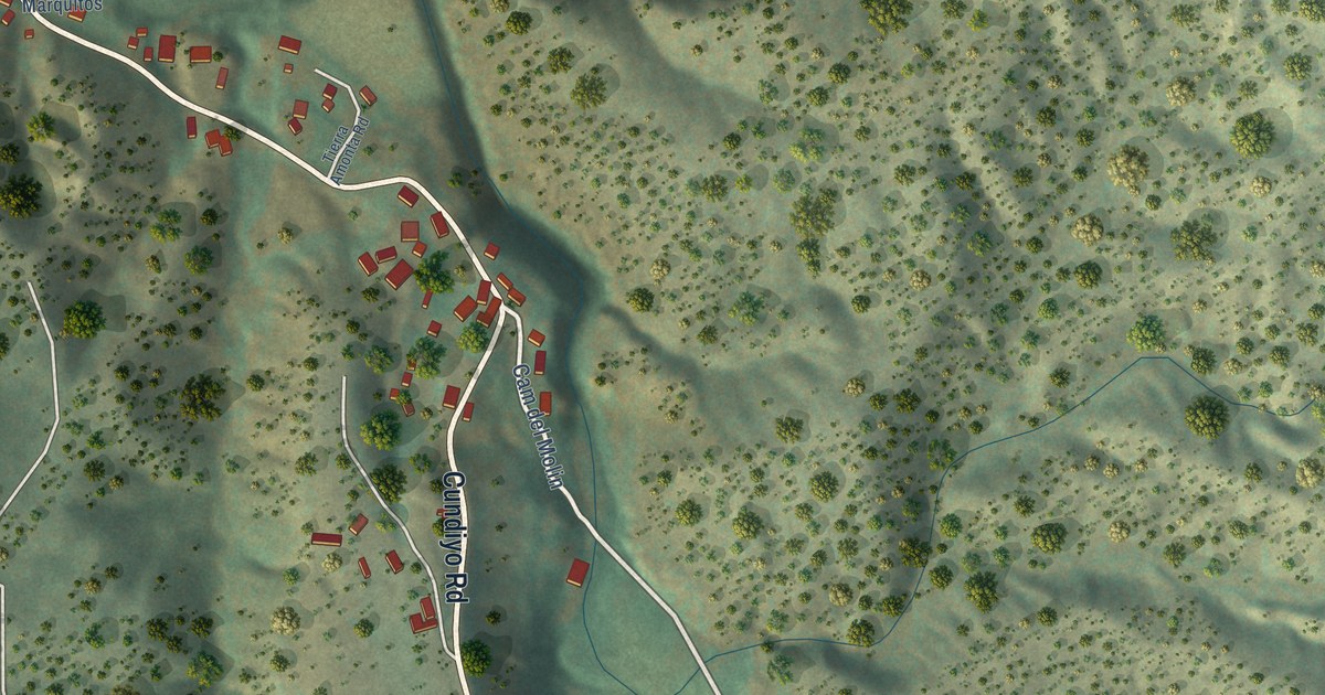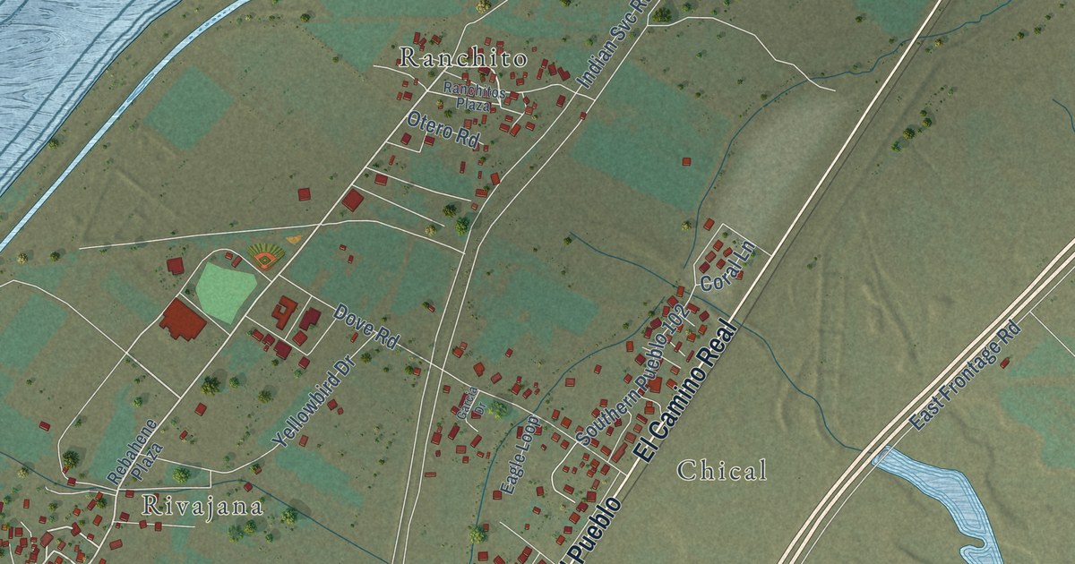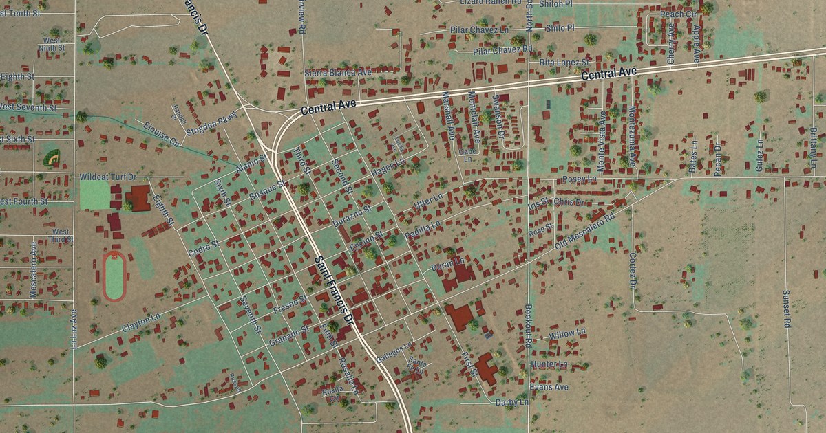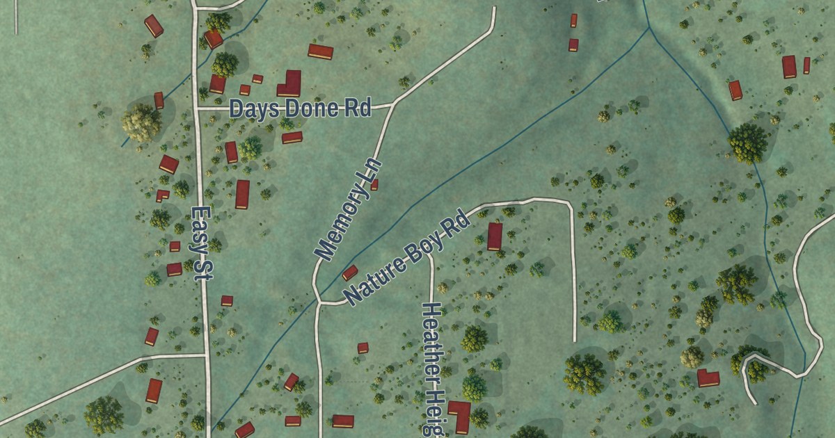
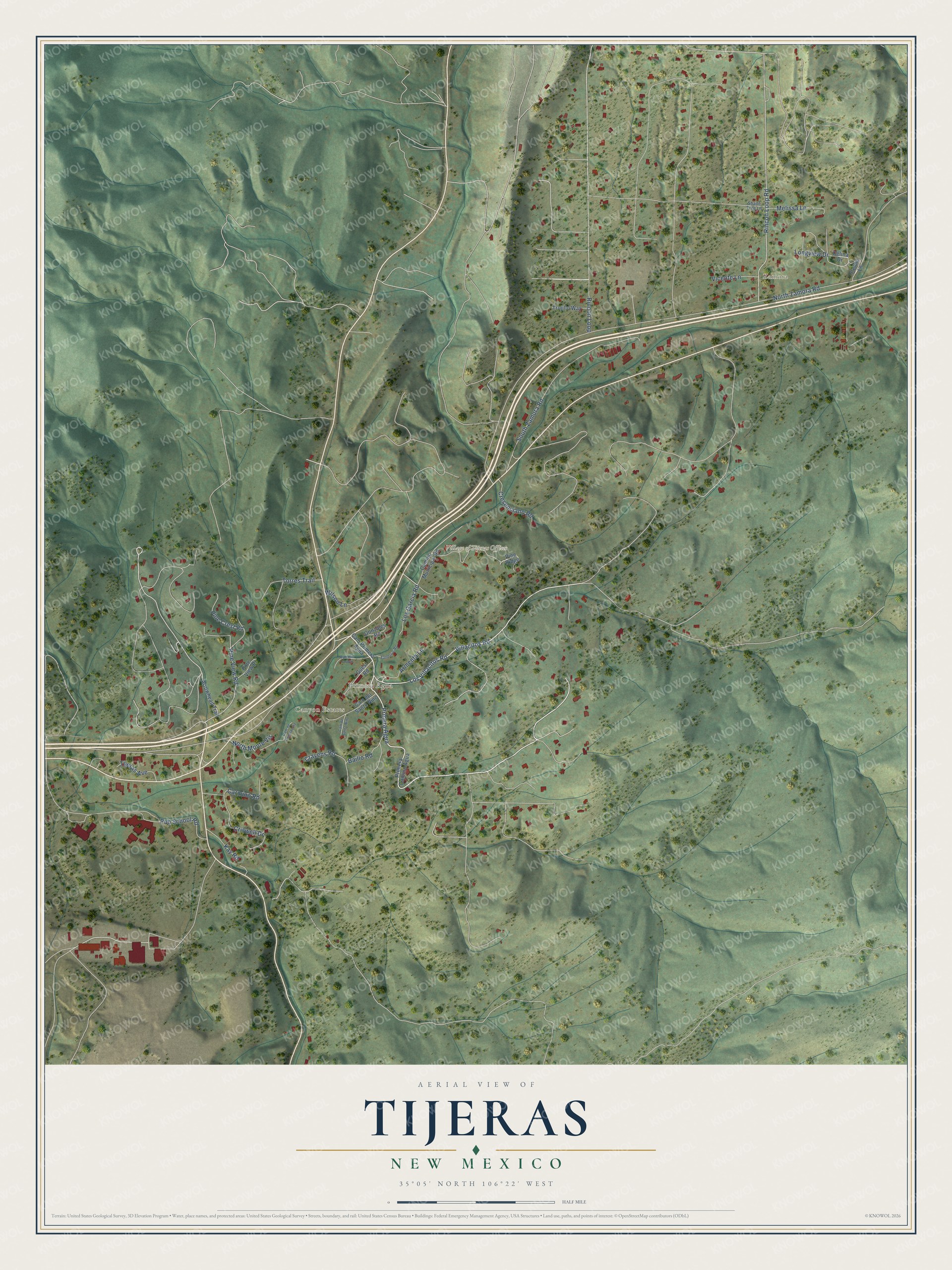
This beautifully detailed map of Tijeras, New Mexico was created in 2026 using aerial imagery combined with modern topographical, census, street and landmark data. It’s a one-of-a-kind view of Tijeras that combines accurate data with a vintage aesthetic. The map shows every building in its true location, many of the roads carry their names, and the shaded topographic relief shows the shape of the land.
Explore an aerial view of Tijeras, New Mexico
On the map you’ll find Village of Tijeras Offices, Zamora, Canyon Estates, Primera Agua, Prmera Agua, and Villacitos, along with Los Villacitos Road, Rincon Loop, Arrowhead Trail, Los Garcia Road, Pine View Road, North Zamora Road, and more. If you look closely you can even find your house accurately drawn in its correct location. Zoom in on the preview to look for yours.
Did you know this about Tijeras, New Mexico?
From the New Mexico Tourism Department: "Two canyons come together at Tijeras, the Spanish name for scissors. Tijeras Canyon, leads west towards Albuquerque, and Cedro Canyon, leads south to the Manzano Mountains as The Salt Mission Trail."
Take a closer look at the Tijeras map
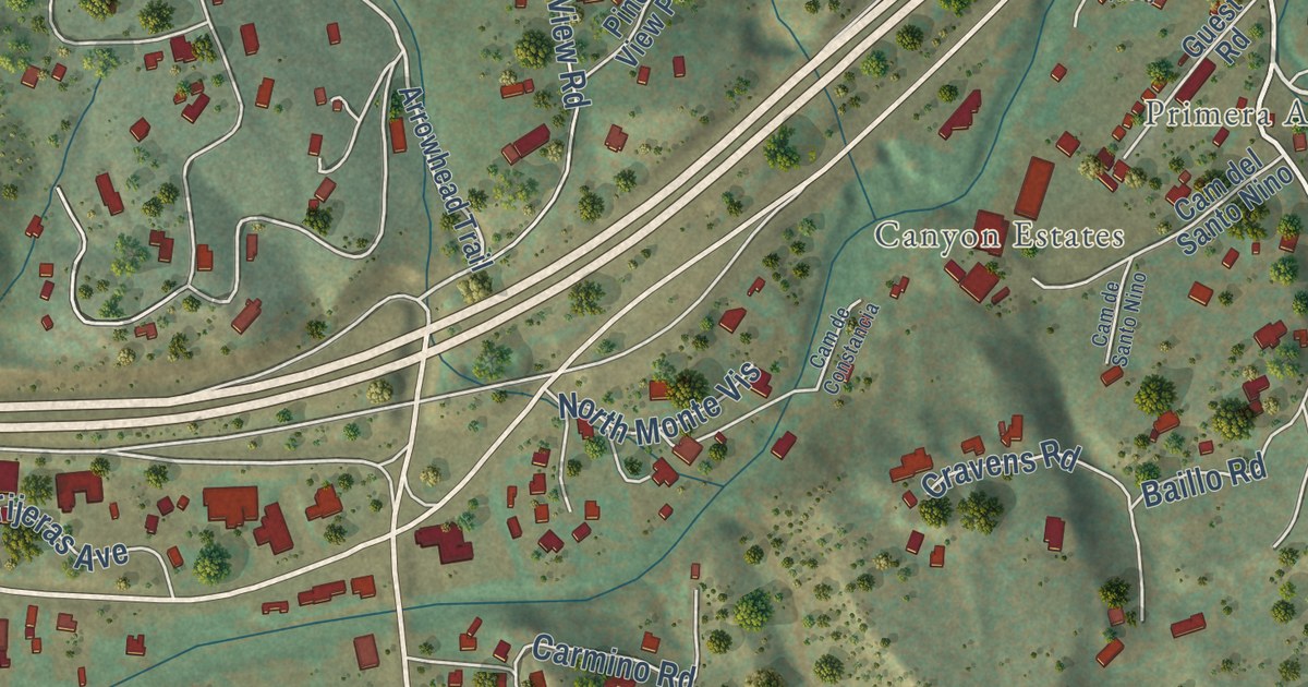
Street and place names on the Tijeras, New Mexico map
These names are printed on the map of Tijeras, New Mexico.
Places: Village of Tijeras Offices, Zamora, Canyon Estates and Primera Agua.
Streets and roads: Prmera Agua, Los Villacitos Road, Villacitos Road, Rincon Loop Road, Pine View Road, Los Garcia Road, North Zamora Road, South Zamora Road, Rincon Loop, Criswell Drive, Baillo Road, Torres Trail.
More street names, A to Z
Armenta Lane, Arrowhead Trail, Cam de Constancia, Cam del Arroyo, Cam del Santo Nino, Cam de Santo Nino, Camino Municipal Road, Cam Primera Agua, Carmino Road, Celina Drive, Celina Lane, Cravens Road, Cresenciano Road, Gonzales Road, Guest Road, Kay Road, Longview Drive, Melissa Lane, North Monte Vis, Pine Crest Road, Pine Ridge, Pine View Place, Primera Camino Agua, Pub School Road, Sandoval Road, Shade Tree Lane, Tijeras Avenue, Trujillo Way, Vicente Lane, Wilson Lane.
See the Tijeras, New Mexico map on a wall
The Tijeras map as an 18 x 24 inch print in a black frame.

This beautifully detailed map of Tijeras makes an attractive addition to your office, library, or den, and it can even be used to teach children the geography and history of the area. It also makes a great gift for anyone with Tijeras roots. When you’re done exploring, click here to get your copy of the Tijeras map.