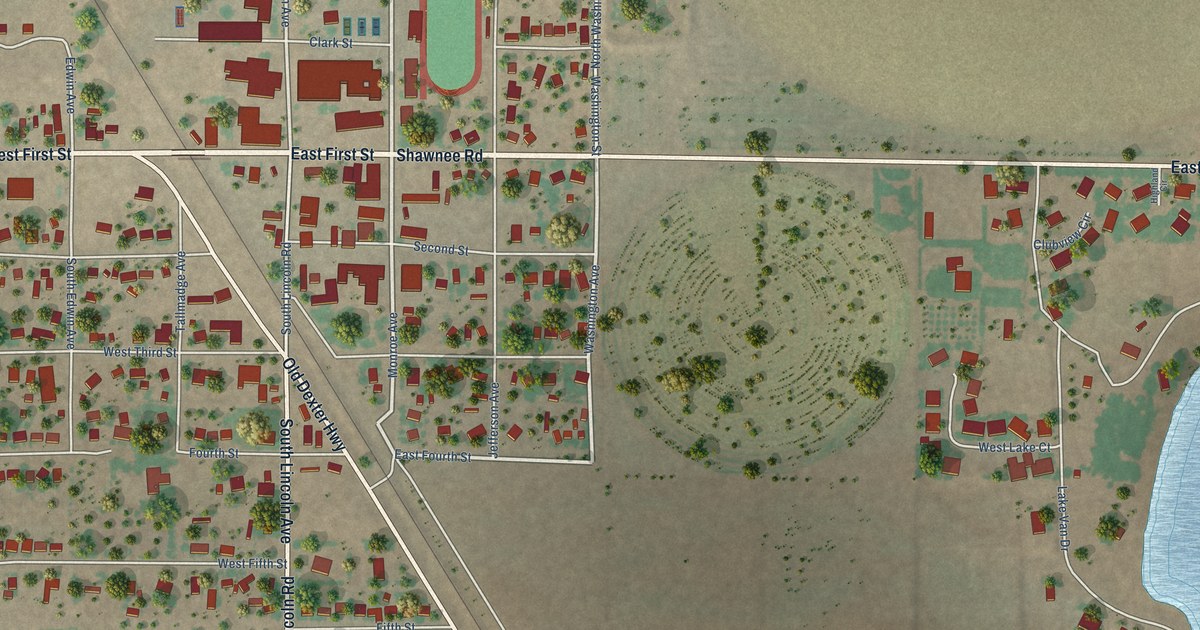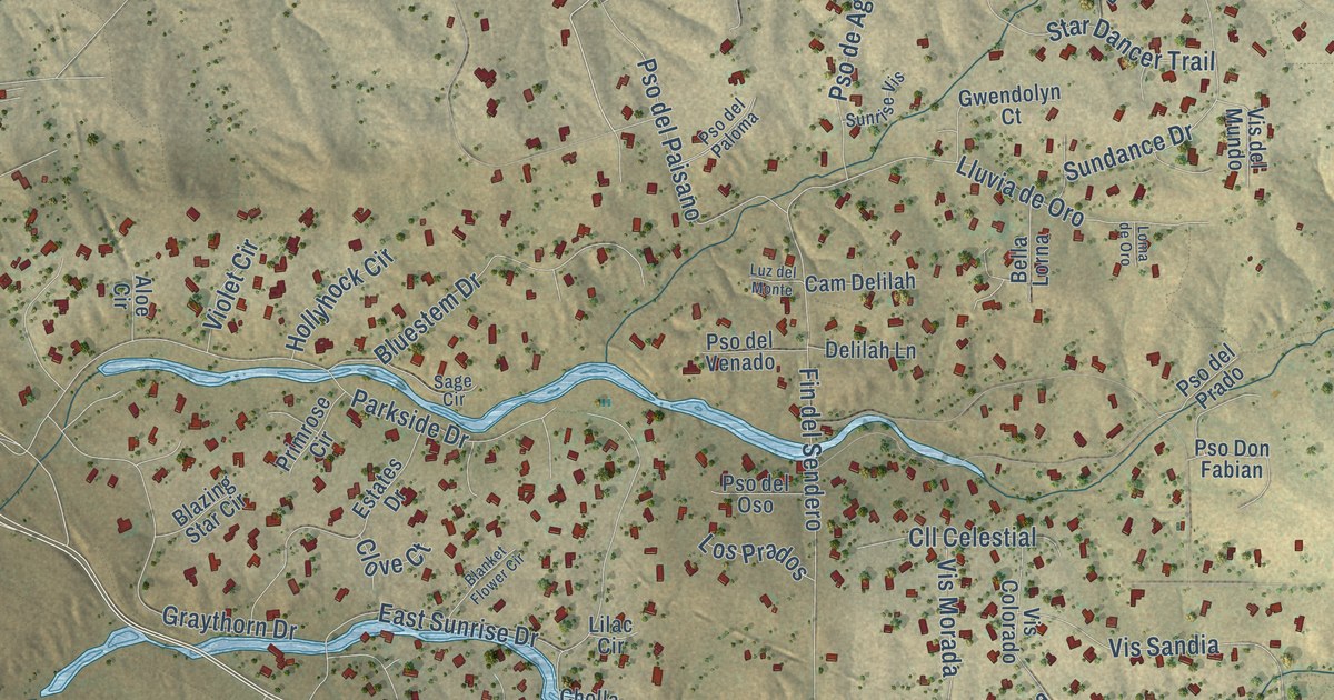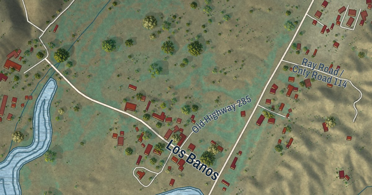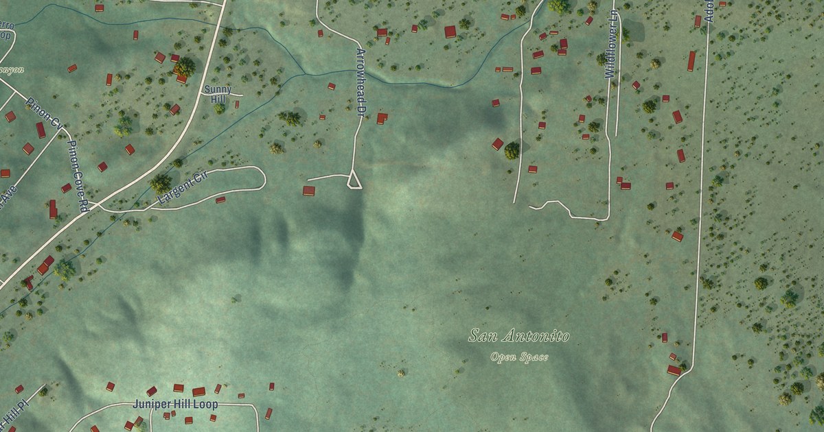
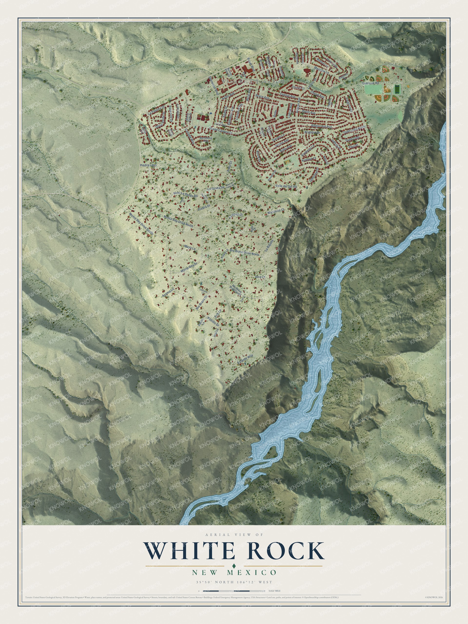
This beautifully detailed map of White Rock, New Mexico was created in 2026 using aerial imagery combined with modern topographical, census, street and landmark data. It’s a one-of-a-kind view of White Rock that combines accurate data with a vintage aesthetic. The map shows every building in its true location, many of the roads carry their names, and the shaded topographic relief shows the shape of the land.
Explore an aerial view of White Rock, New Mexico
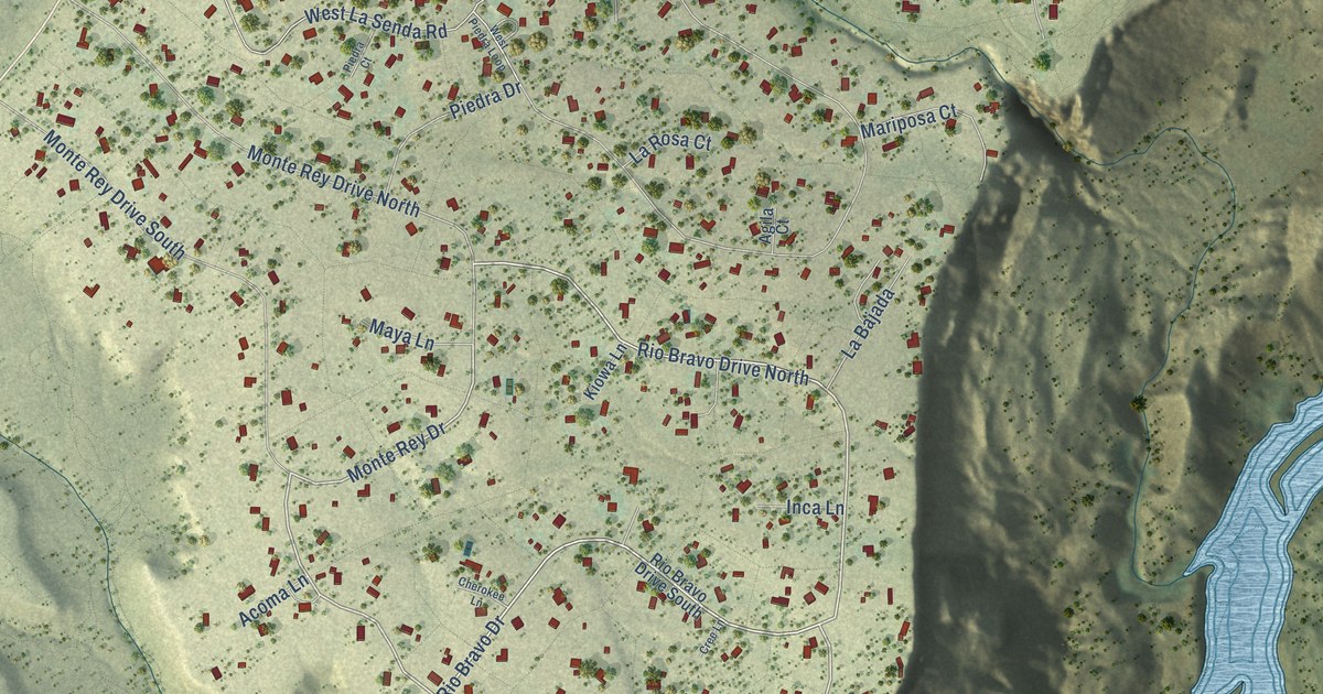
On the map you’ll find White Rock Town Hall, Overlook Park, Piñon Park, and Rover Park, along with Rio Bravo Drive, Potrillo Drive, Monte Rey Drive, Paige Loop, Grand Canyon Drive, Piedra Loop, Rover Boulevard, Meadow Lane, and more. If you look closely you can even find your house accurately drawn in its correct location. Zoom in on the preview to look for yours.
Did you know this piece of White Rock, New Mexico history?
From the Business View Magazine: "Founded in the late 1940s and 1950s as a temporary home for construction workers of the Los Alamos Scientific Laboratory, White Rock was razed by 1958 but reborn in 1962."
Take a closer look at the White Rock map
Street and place names on the White Rock, New Mexico map
These names are printed on the map of White Rock, New Mexico.
Places: White Rock Town Hall, Overlook Park, Piñon Park and Rover Park.
Streets and roads: Rio Bravo Drive, Potrillo Drive, Monte Rey Drive, Rio Bravo Drive North, Paige Loop, Grand Canyon Drive, Piedra Loop, Rover Boulevard, Meadow Lane, Aragon Avenue, La Senda Road, Estante Way.
More street names, A to Z
Acoma Lane, Agate Street, Agila Court, Arbol Court, Aster, Aztec Avenue, Azure Drive, Bandelier Avenue, Bandolina Drive, Barcelona Avenue, Beryl Avenue, Bonnie View Drive, Brighton Drive, Bryce Avenue, Canada Way, Carlsbad Avenue, Catherine Avenue, Cherokee Lane, Cheryl Avenue, Cheryl Court, Chiquita Drive, Connie Avenue, Cree Lane, Dakota Lane, Delicado Drive, Donna Avenue, East La Senda Road, Erie Lane, Fort Union Avenue, Futura Drive, Garver Lane, Glenview Drive, Granada Drive, Hacienda Drive, Hamlin Court, Hopi Lane, Inca Lane, Isleta Drive, Jeffrey Place, Joya Loop, Karen Circle, Kayenta Drive, Kendall Drive, Kilby Avenue, Kimberly Lane, Kiowa Lane, Kolleen Court, Kris Court, La Bajada, La Paloma Drive, La Rosa Court, La Vista Drive, Lejano Drive, Louise Avenue, Mariposa Court, Maya Lane, Mesa Verde Street, Mimbres Drive, Monte Rey Drive North, Monte Rey Drive South, Monte Vista Street, Overlook Road, Park Lane, Paul Place, Piedra Court, Piedra Drive, Pruitt Avenue, Richard Court, Ridgecrest Avenue, Rio Bravo Drive South, Sherwood Boulevard, Sierra Vista Drive, Todd Loop, Todd Loop North, Valle del Sol Road, West La Senda Road, West Piedra Loop, Yosemite Drive.
See the White Rock, New Mexico map on a wall
The White Rock map as an 18 x 24 inch print in a black frame.

This beautifully detailed map of White Rock makes an attractive addition to your office, library, or den, and it can even be used to teach children the geography and history of the area. It also makes a great gift for anyone with White Rock roots. When you’re done exploring, click here to get your copy of the White Rock map.