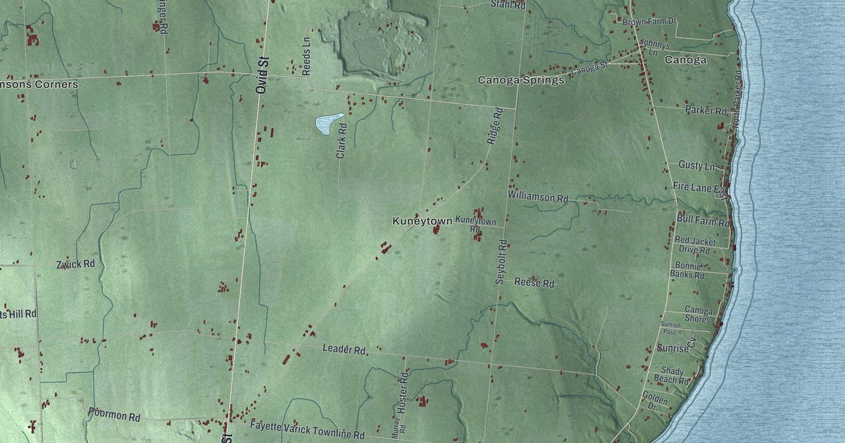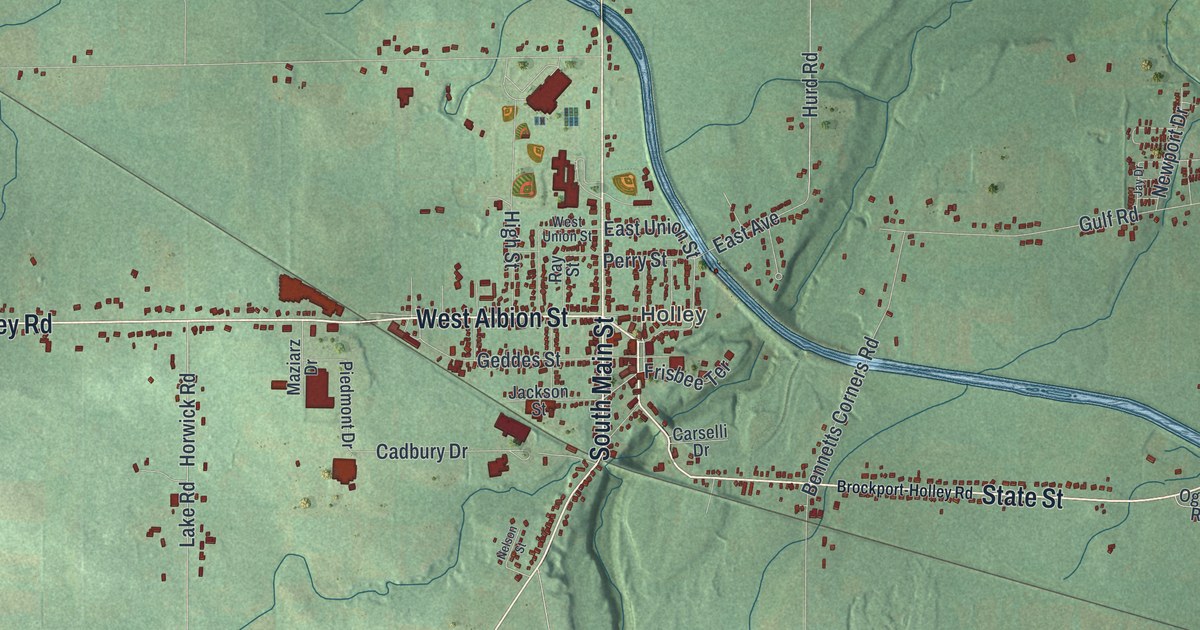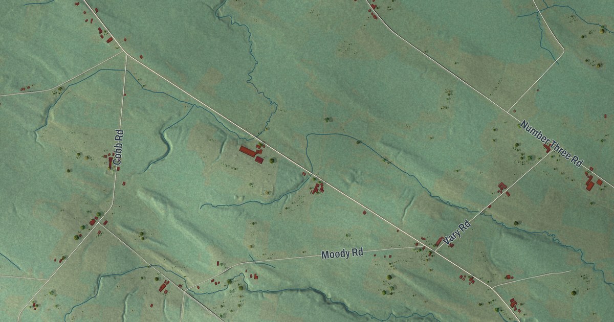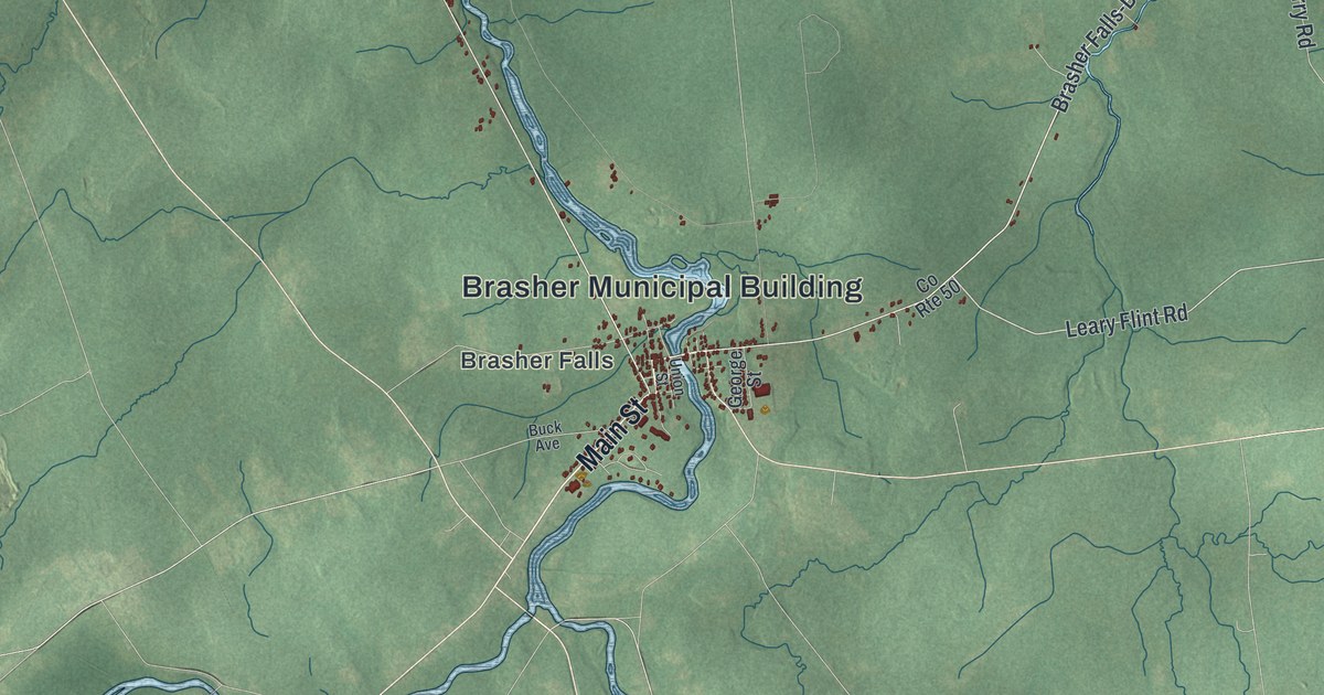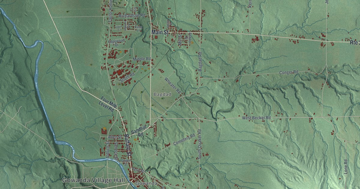
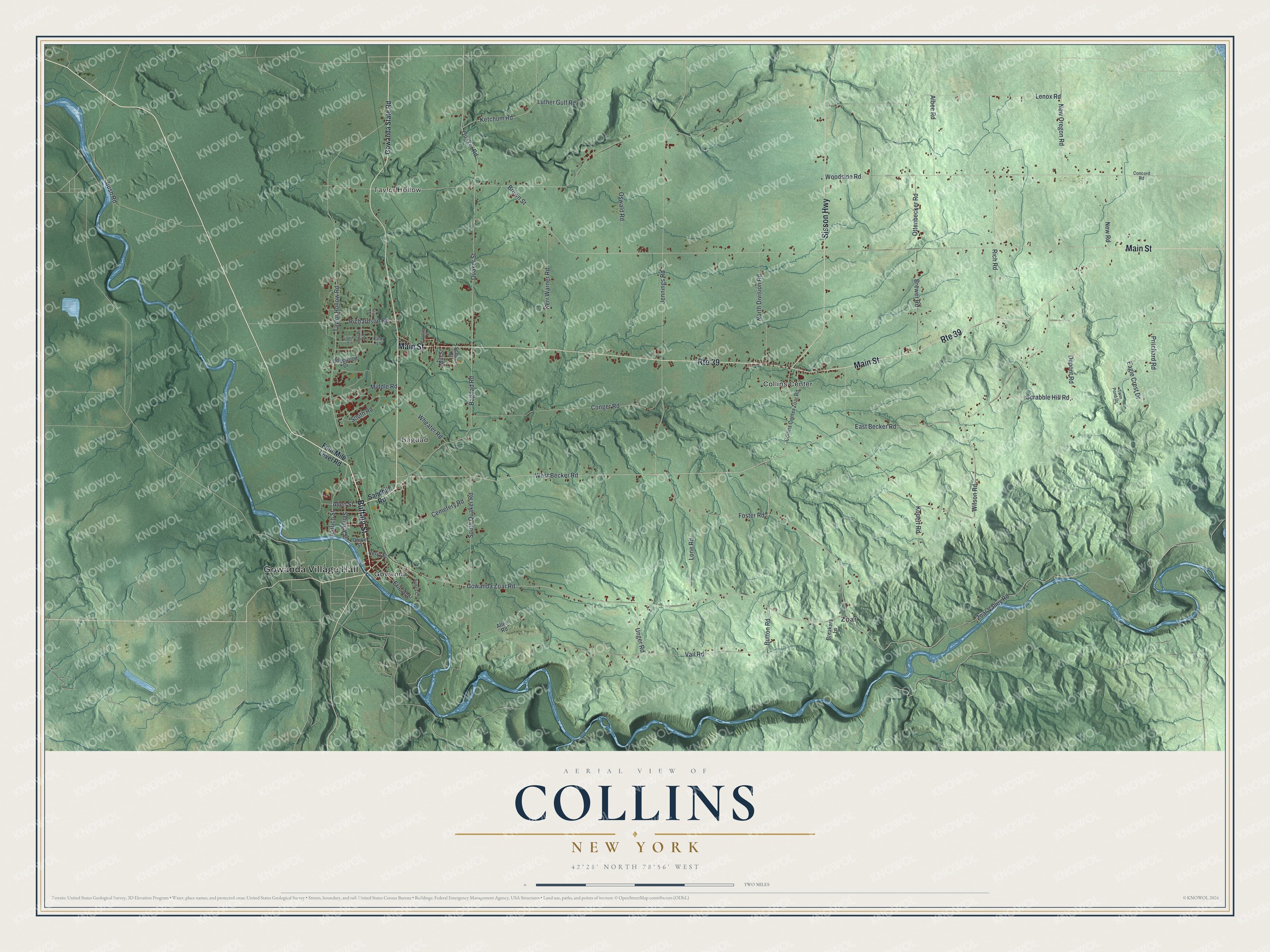
This beautifully detailed map of Collins, New York was created in 2026 using aerial imagery combined with modern topographical, census, street and landmark data. It’s a one-of-a-kind view of Collins that combines accurate data with a vintage aesthetic. The map shows every building in its true location, many of the roads carry their names, and the shaded topographic relief shows the shape of the land.
Explore an aerial view of Collins, New York
On the map you’ll find Gowanda Village Hall, Taylor Hollow, Bagdad, Collins Center, Gowanda, and Zoar, along with Buffalo Street, Main Street, Sisson Highway, Four Mile Level Road, and more. If you look closely you can even find your house accurately drawn in its correct location. Zoom in on the preview to look for yours.
Did You Know?
Settlers first came to Collins in 1811, and many were Quakers who meant to help the local Native Americans. The town was formed from Concord on March 6, 1821. It was named for the Collins family, dairy farmers active in local life. With so many dairy farms, the town once had ten cheese and milk factories.
Take a closer look at the Collins map
Names on this map
These names are printed on this map.
Places: Gowanda Village Hall, Taylor Hollow, Bagdad, Collins Center, Gowanda and Zoar.
Streets and roads: Buffalo Street, Main Street, Route 39, Sisson Highway, Bagdad Road, West Becker Road, Quaker Road, Allen Street, East Becker Road, Zoar Valley Road, Quaker Street, Gowanda Zoar Road.
More street names, A to Z
Albee Road, Aldrich Street, Allen Road, Armes Court, Breakers Lane, Brewer Road, Brown Street, Bush Road, Button Road, Cemetery Road, Collins Center Zoar Road, Concord Road, Conger Road, Dupont Road, Eagle Crest Drive, Edgewood Drive, Erie Avenue, Flavia Circle, Foster Road, Four Mile Level Road, Gowanda State Road, Highland Avenue, Jennings Road, Kathy Lane, Kerr Warner Road, Ketchum Road, Konert Road, Lenox Road, Lone Road, Luther Gulf Road, Middle Road, Mill Street, New Oregon Road, New Road, North Division Road, Oswald Road, Ottenbecker Road, Perry Street, Pritchard Road, Richardson Road, Rich Road, Sandhill Road, Sara Lane, School Street, Scrabble Hill Road, Seneca Street, South Quaker Road, South Road, Spring Street, Taylor Hollow Road, Twin Pond Drive, Unger Road, Union Street, Vail Road, Wheater Road, Wilson Road, Woodside Road.
See it on a wall
The Collins map as a framed print. Swipe for more.


This beautifully detailed map of Collins makes an attractive addition to your office, library, or den, and it can even be used to teach children the geography and history of the area. It also makes a great gift for someone who left Collins and still calls it home. When you’re done exploring, click here to get your copy of the Collins map.