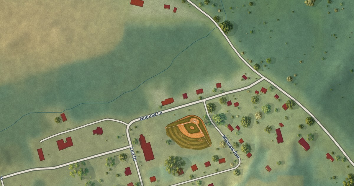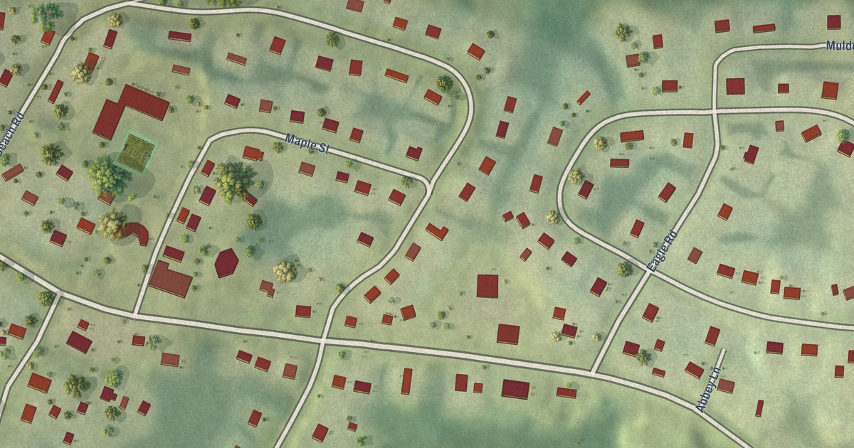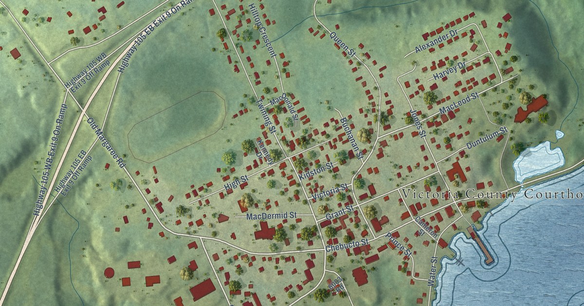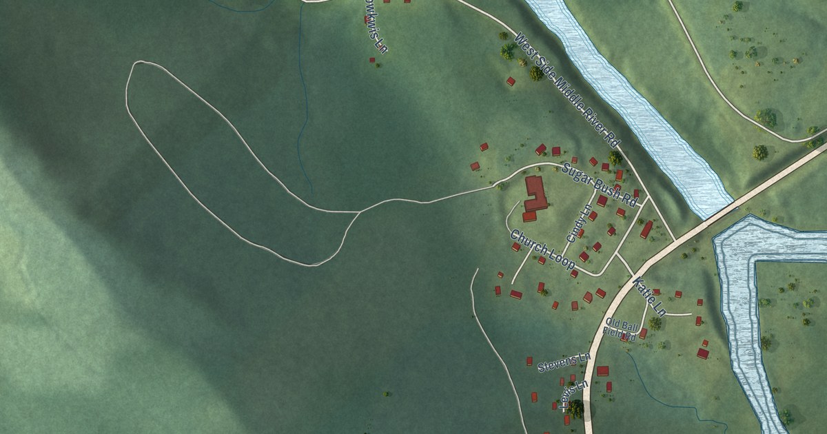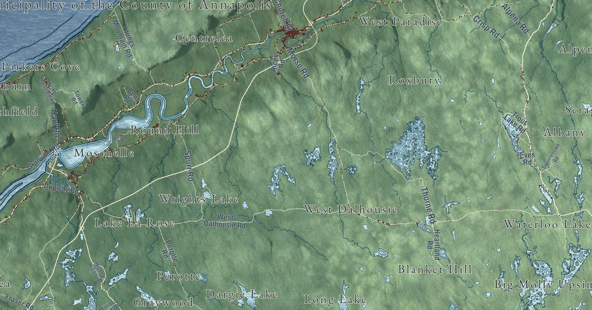
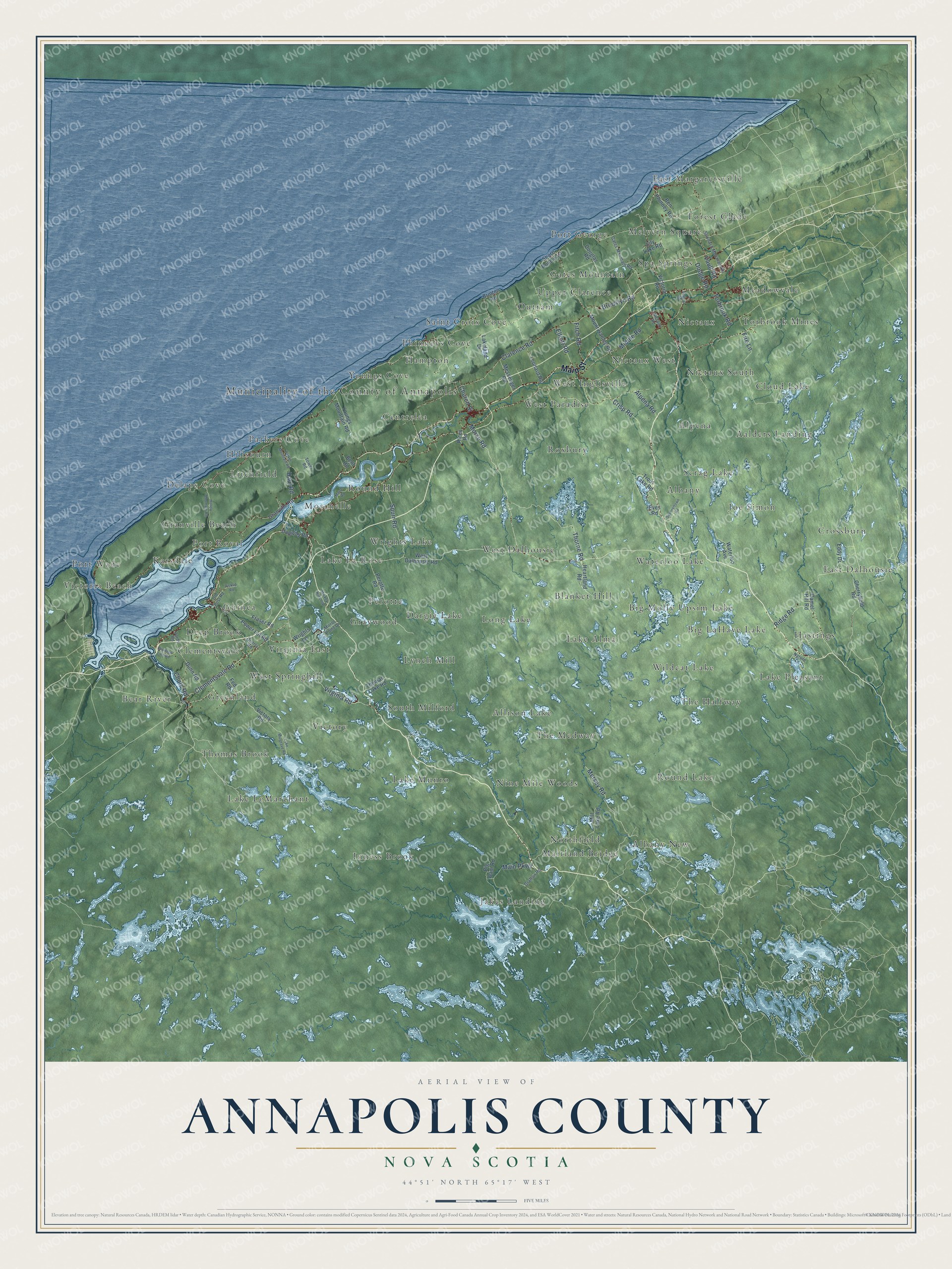
This beautifully detailed map of Annapolis County, Nova Scotia was created in 2026 using aerial imagery combined with modern topographical, census, street and landmark data. It’s a one-of-a-kind view of Annapolis County that combines accurate data with a vintage aesthetic. The map shows every building in its true location, many of the roads carry their names, and the shaded topographic relief shows the shape of the land.
Explore an aerial view of Annapolis County, Nova Scotia
On the map you’ll find Municipality of the County of Annapolis, Inness Brook, East Margaretsville, Round Lake, Delaps Cove, East Dalhousie, Upper Clarence, South Milford, Victoria Beach, Big Molly Upsim Lake, Round Hill, Cloud Lake, and more. If you look closely you can even find your house accurately drawn in its correct location. Zoom in on the preview to look for yours.
Take a closer look at the Annapolis County map
Names on this map
These names are printed on this map.
Places: Municipality of the County of Annapolis, Inness Brook, East Margaretsville, Round Lake, Delaps Cove, East Dalhousie, Upper Clarence, South Milford, Victoria Beach, Big Molly Upsim Lake, Round Hill, Cloud Lake, Northfield, Perotte, Albany, Jakes Landing, Lake Alma, Spa Springs, Greenland, Hastings, Guinea, Saint Croix Cove, Allison Lake, Nictaux South, Youngs Cove, The Halfway, West Dalhousie, West Inglisville, Hillsburn, Joe Simon, Nictaux, Nine Mile Woods, Long Lake, The Medway, Port George, Lake Pleasant, Waterloo Lake, Thomas Brook, Graywood, Roxbury, Aalders Landing, Forest Glade, Phinneys Cove, Victory, Port Royal, Torbrook Mines, Deep Brook, Maitland Bridge, Hampton, Centrelea, Karsdale, Wrights Lake, Lynch Mill, Lake Munro, Moschelle, Bear River, Virginia East, Alpena, Blanket Hill, West Paradise, Clementsvale, Parkers Cove, Granville Beach, Lake LeMarchant, Nictaux West, Albany New, Dargie Lake, Crossburn, Meadowvale, Gates Mountain, Port Wade, Scrag Lake, Big LaHave Lake, Melvern Square, Lake La Rose, Wildcat Lake, Outram, West Springhill and Litchfield.
Streets and roads: Main Street, Clementsvale Road, Mersey Road, Virginia Road, Torbrook Road, Morse Road, Ridge Road, Crisp Road, Brooklyn Road, Spurr Road, Main Parkway, Clarence Road.
More street names, A to Z
Alpena Road, Bayard Road, Ben Phinney Road, Bent Road, Big Dam Road, Brinton Road, Camel Hill Road, Cherryfield Road, Church Street, Chute Road, Dodge Road, Douglas Road, Dugway Road, Dunn Road, Eddy Drive, Elliott Road, Eves Road, Fed Road, Fire Lane, Fitch Road, Fraser Road, Gates Mountain Road, Grafton Road, Granville Road, Haul Road, Heartland Road, Hollow Mountain Road, Lakeland Drive, Lake Mulgrave Road, Leonard Road, Lily Lake Road, Marsh Road, Messenger Road, Mickey Hill Loop, Middle Road, Mill Lake Road, Mirror Point Drive, Mount Hanley Road, Nature Lane, Nictaux Road, Old Post Road, Parker Mountain Road, Perotte Road, Pickup Road, Power Lot Road, Purdy Road, Quarry Road, Rices Road, Shore Road East, Squirreltown Road, Stronach Mountain Road, Thomas Lake Road, Thorne Road, Tower Road, Trout Lake Road, Vault Road, Victoria Road, Victory Road, Waldeck Line Road, Waterloo Avenue, West Dalhousie Road, Wrights Lane, Youngs Mountain Road.
See it on a wall
The Annapolis County map as an 18 x 24 inch print in a black frame.

This beautifully detailed map of Annapolis County makes an attractive addition to your office, library, or den, and it can even be used to teach children the geography and history of the area. It also makes a great gift for someone who left Annapolis County and still calls it home. When you’re done exploring, click here to get your copy of the Annapolis County map.