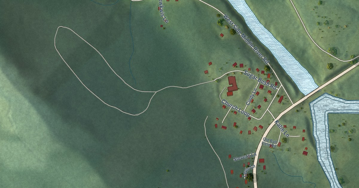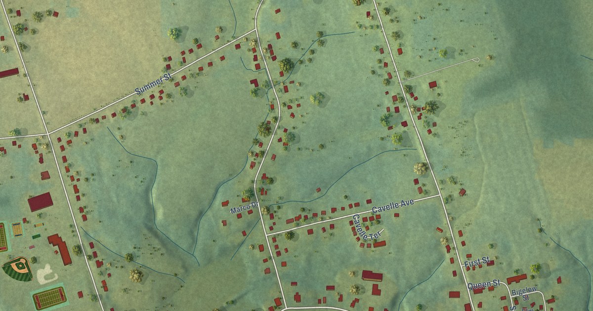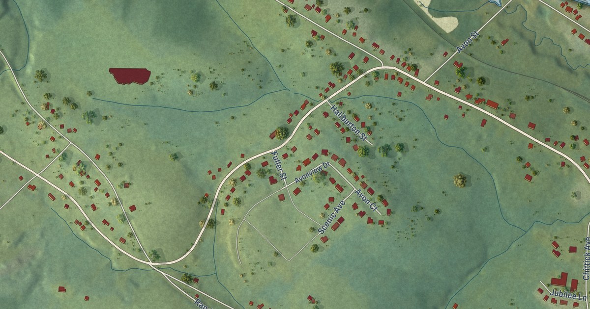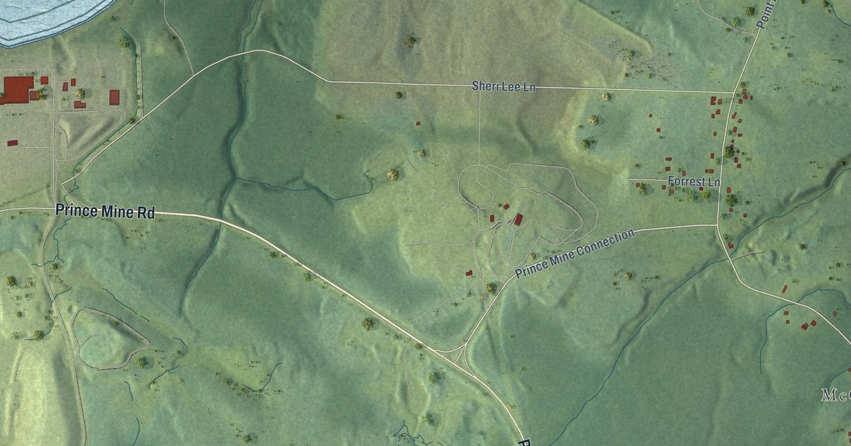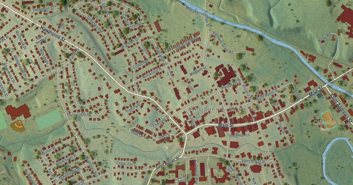
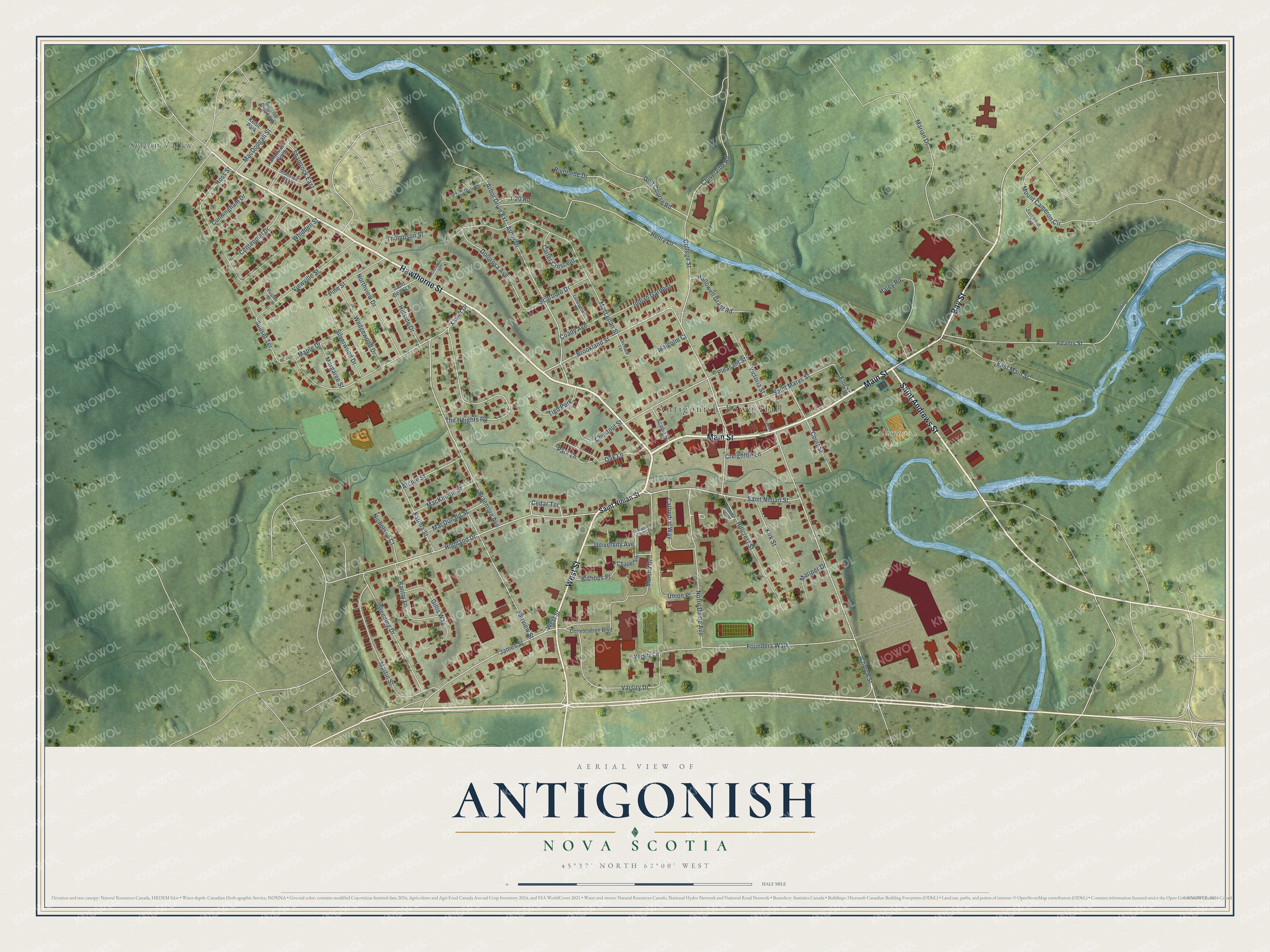
This beautifully detailed map of Antigonish, Nova Scotia was created in 2026 using aerial imagery combined with modern topographical, census, street and landmark data. It’s a one-of-a-kind view of Antigonish that combines accurate data with a vintage aesthetic. The map shows every building in its true location, many of the roads carry their names, and the shaded topographic relief shows the shape of the land.
Explore an aerial view of Antigonish, Nova Scotia
On the map you’ll find Antigonish Town Hall, Columbus Field, and Sylvan Valley, along with Hawthorne Street, Main Street, Bay Street, West Street, Saint Andrews Street, Highland Drive, Saint Ninian Street, Arbor Drive, Brookland Street, and more. If you look closely you can even find your house accurately drawn in its correct location. Zoom in on the preview to look for yours.
Take a closer look at the Antigonish map
Names on this map
These names are printed on this map.
Places: Antigonish Town Hall, Columbus Field, Sylvan Valley, Tigo Park and Keltic Park.
Streets and roads: Hawthorne Street, Main Street, Bay Street, West Street, Saint Andrews Street, Highland Drive, Saint Ninian Street, Arbor Drive, Brookland Street, Cedar Terrace, Xavier Drive, College Street.
More street names, A to Z
Acadia Street, Adams Street, Alumni Crescent, Arbor Drive Extension, Archie Street, Bantry Lane, Bishops Place, Braemore Avenue, Camden Loop, Carter Crescent, Cathedral Way, Centennial Drive, Chapel Square, Chestnut Street, Chisholm Street, Church Street, Cloverville Road, Coady Avenue, Convocation Boulevard, Court Street, Creighton Lane, Cunningham Drive, Dolorosa Avenue, East Main Street, Elm Street, Fairview Street, Fatima Street, Fernwood Drive, Founders Walk, Gillis Way, Golf Course Road, Greening Drive, Haley Road, Hallowell Grant Road, Henry Lane, Hillcrest Street, Hillside Drive, Indian Gardens, J-20 Road, James Street, Kirk Street, Landing Road, Landsdown Drive, MacDonald Street, MacDougall Street, MacKinnon Street, MacLellan Street, Malcolm Court, Maple Drive, Margaree Street, Marian Drive, Mariner Drive, Martha Drive, Martin Street, Mount Cameron Circle, Nicholson Court, Northview Drive, Notre Dame Avenue, Oak Lane, Orchard Terrace, Park Lane, Pine Street, Pleasant Street, Pushie Street, Riverside Drive, Ross Street, Saint Bean Lane, Saint Marys Street, Scarboro Drive, Shamrock East, Shamrock North, Shamrock West, Silverwood Drive, Sunrise Crescent, Sunset Terrace, Sydney Street, The Heights Road, Thompson Street, Trotters Lane, Union Place, University Avenue, Varsity Circle, Varsity Drive, Victoria Street, Viewville Street, Wedgewood Drive, Whidden Street.
See it on a wall
The Antigonish map as an 18 x 24 inch print in a black frame.

This beautifully detailed map of Antigonish makes an attractive addition to your office, library, or den, and it can even be used to teach children the geography and history of the area. It also makes a great gift for someone who left Antigonish and still calls it home. When you’re done exploring, click here to get your copy of the Antigonish map.