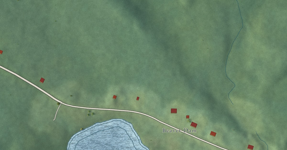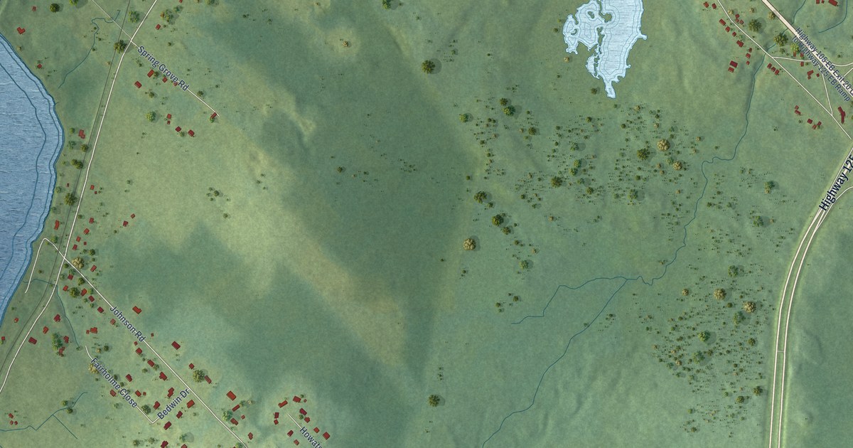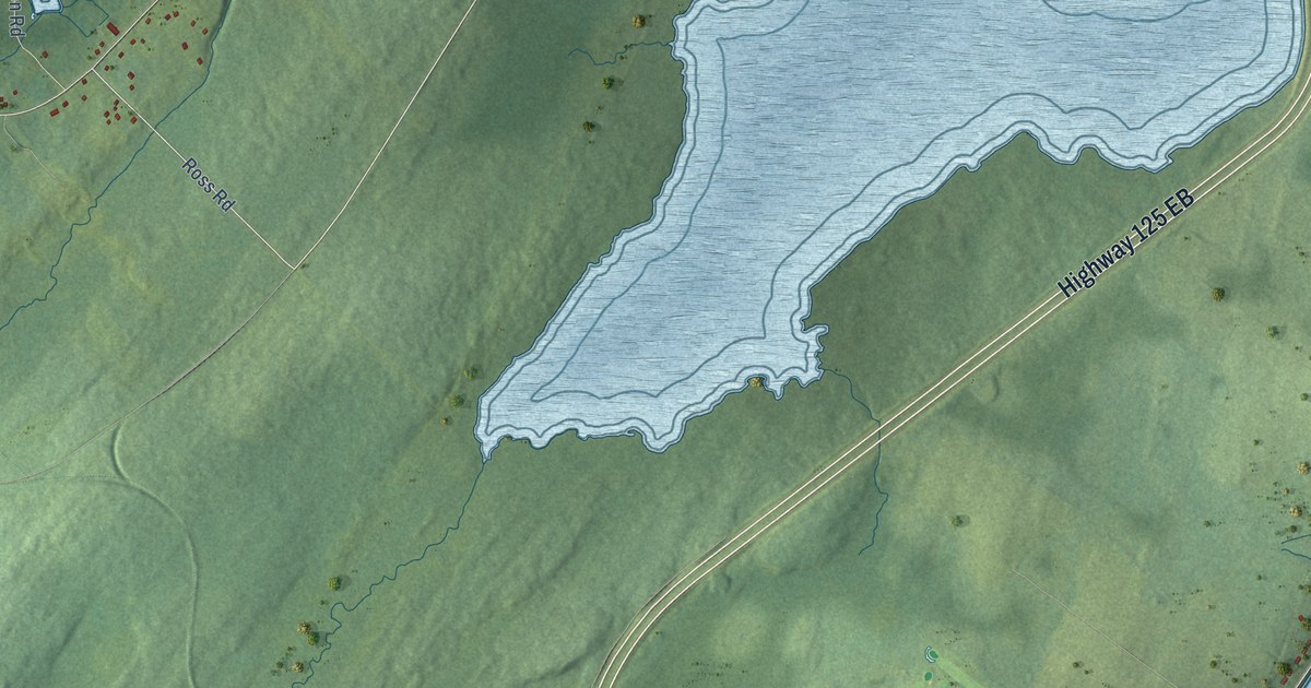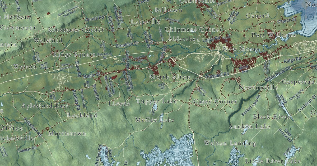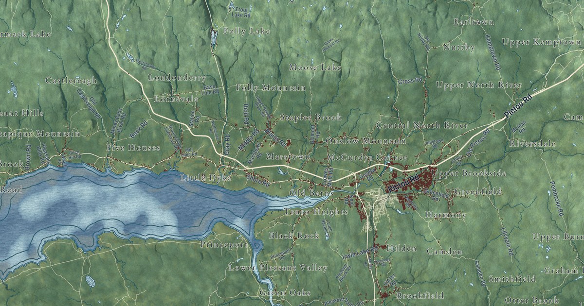
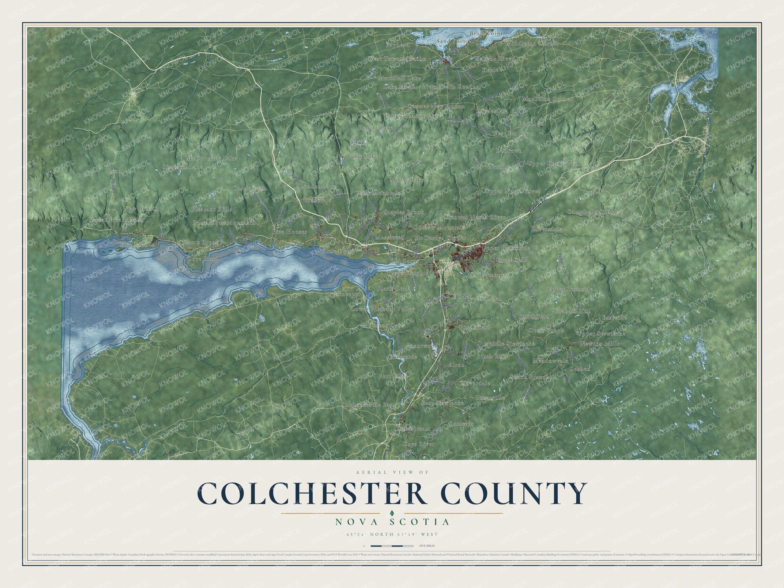
This beautifully detailed map of Colchester County, Nova Scotia was created in 2026 using aerial imagery combined with modern topographical, census, street and landmark data. It’s a one-of-a-kind view of Colchester County that combines accurate data with a vintage aesthetic. The map shows every building in its true location, many of the roads carry their names, and the shaded topographic relief shows the shape of the land.
Explore an aerial view of Colchester County, Nova Scotia
On the map you’ll find Brule Point, Lower Five Islands, Gays River, Campbells Siding, Mattatall Lake, McCormack Lake, Newton Mills, Alton, Folly Lake, Clydesdale, Middle Stewiacke, Central North River, and more. If you look closely you can even find your house accurately drawn in its correct location. Zoom in on the preview to look for yours.
Take a closer look at the Colchester County map
Names on this map
These names are printed on this map.
Places: Brule Point, Lower Five Islands, Gays River, Campbells Siding, Mattatall Lake, McCormack Lake, Newton Mills, Alton, Folly Lake, Clydesdale, Middle Stewiacke, Central North River, Lynn, Bayhead, Black Rock, Harmony, Ramseys, Nuttby, Debert Lake, Upper Burnside, Staples Brook, Carrs Brook, Central New Annan, Brookfield, Portapique Mountain, Goshen, Keble, Smithfield, Moose Lake, Shubenacadie East, Folly Mountain, Upper Kemptown, Fort Ellis, Green Oaks, McCurdys Corner, Simpson Lake, Eastville, Greenfield, Hilden, Warwick Mountain, West Tatamagouche, New Britain, New Truro Road, Upper North River, South Branch, Masstown, Castlereagh, Lanesville, Sand Point, West Earltown, Riverside, Berichan, Little Dyke, Riversdale, Londonderry, Camden, Birch Hill, Cloverdale, Onslow Mountain, Coldstream, Brentwood, Graham Hill, Otter Brook, Upper Brookside, Five Houses, Truro Heights, MacBains Corner, Meadowvale, Waughs River, Lower Pleasant Valley, Old Barns, Cove Road, Middleton Corner, Earltown, East Stewiacke, Pleasant Hills, Upper Stewiacke, Five Islands, Lake Road, Princeport and Lornevale.
Streets and roads: Pictou Road, Plains Road, Balmoral Road, Truro Road, Alton Road, Pembroke Road, Lilyvale Road, Back Road, Kemptown Road, Cross Road, Old Pictou Road, Lynn Road.
More street names, A to Z
Annandale Road, Base Line Road, Belmont Road, Berry Hill Road, Birch Hill Road, Brenton Cross Road, Brentwood Road, Brown Road, Brule Point Road, Brule Shore Road, Camden Road, Carter Road, Church Road, Cloverdale Road, Coldstream Road, Commo Road, Cooks Mill Road, Crowes Mills Road, Forest Glen Road, Gerrish Valley Road, Glenmore Road, Gray Road, Great Village Lornevale Road, Greenfield Road, Harmony Road, Higgins Mill Road, Highway 311 Loop, Irwin Lake Road, Jollytown Road, Kavanaugh Mill Road, Kennedy Hill Road, Kennedy Road, Kent Road, Little York Road, Loch Haven Lane, Mackay Siding Road, Marney Road, Masstown Road, Mclean Road, Middle Road, Mill Lane Road, Mines Bass River Road, Mountain Road, Old Castlereagh Road, Old Debert Road, Old Nuttby Road, Onslow Road, Pleasant Brook Road, Pleasant Hills Road, Pleasant Valley Road, Princeport Road, Reid Road, Reids Station Road, Ridge Road, River Road, Riverside Road, Sand Point Road, Shore Road, Slade Road, South Branch Road, Spiddle Hill Road, Station Road, Stewart Hill Road, Stewarts Road, Trout Lake Road, Upper Belmont Road, Upper Debert River Road, Valley Road, Weatherbee Road, Westchester Road, Wharf Road, Willow Church Road.
See it on a wall
The Colchester County map as an 18 x 24 inch print in a black frame.

This beautifully detailed map of Colchester County makes an attractive addition to your office, library, or den, and it can even be used to teach children the geography and history of the area. It also makes a great gift for someone who left Colchester County and still calls it home. When you’re done exploring, click here to get your copy of the Colchester County map.