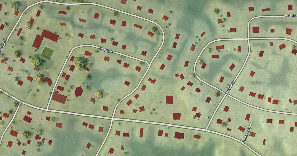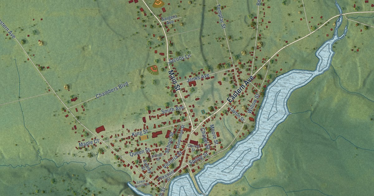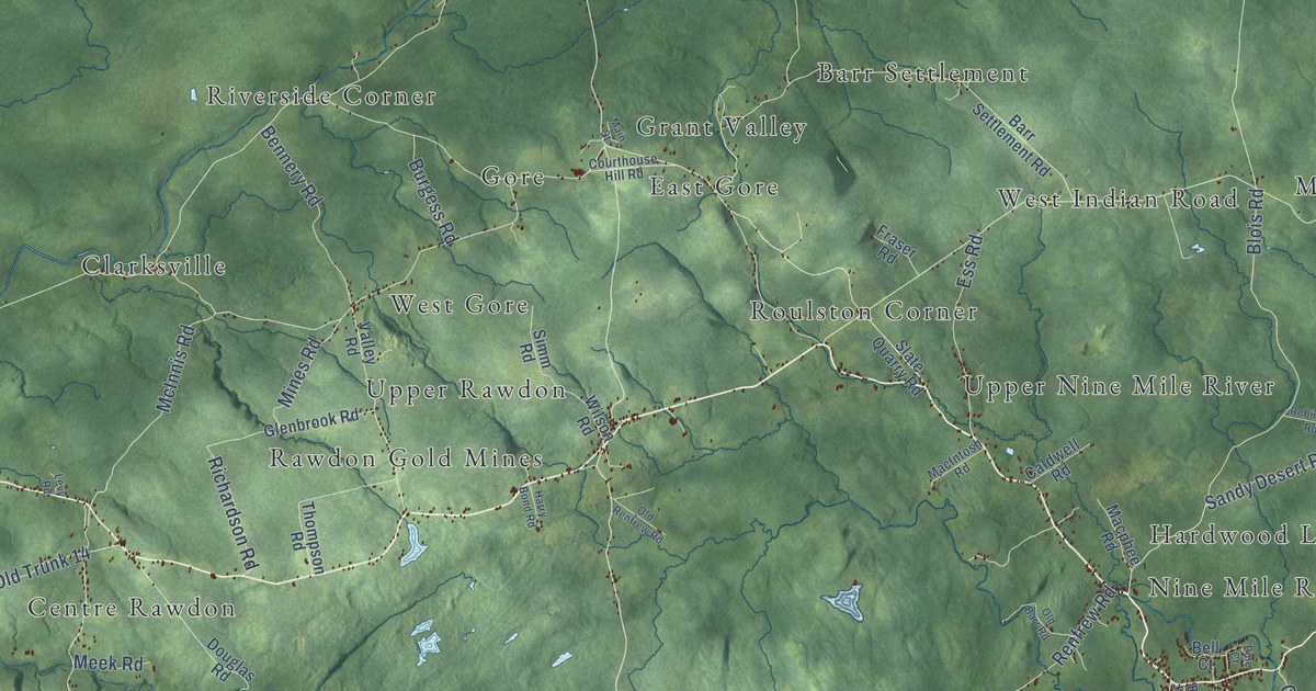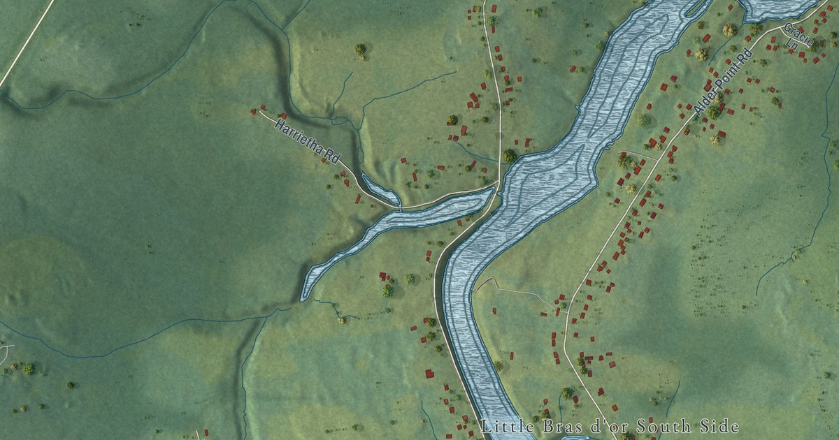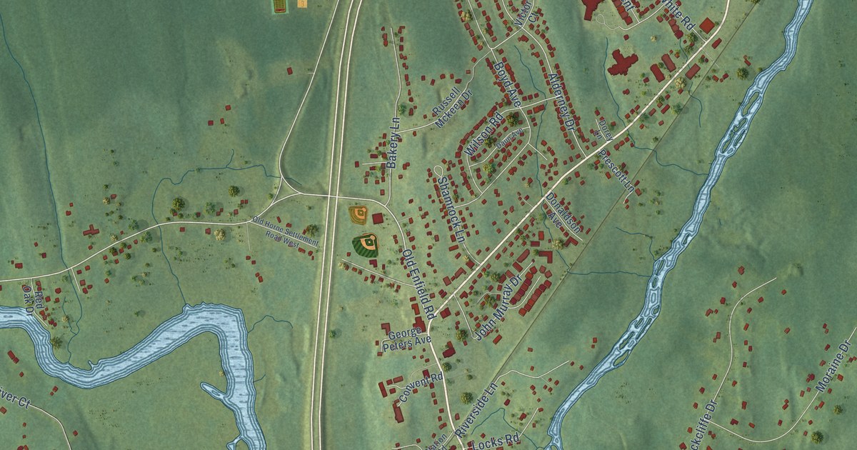
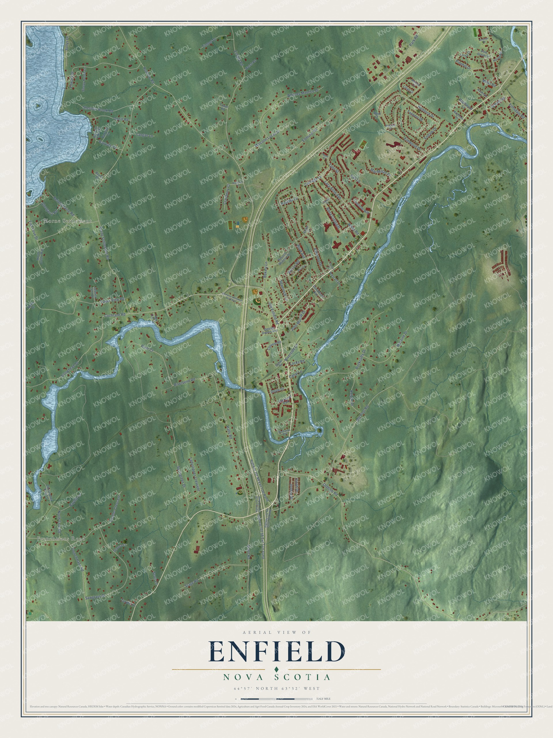
This beautifully detailed map of Enfield, Nova Scotia was created in 2026 using aerial imagery combined with modern topographical, census, street and landmark data. It’s a one-of-a-kind view of Enfield that combines accurate data with a vintage aesthetic. The map shows every building in its true location, many of the roads carry their names, and the shaded topographic relief shows the shape of the land.
Explore an aerial view of Enfield, Nova Scotia
On the map you’ll find Horne Settlement, along with Frenchmans Road, Old Enfield Road, Horne Settlement Road, Oldham Road, Renfrew Road, Elmwood Drive, Cochrane Road, Bakery Lane, Old Post Road, Arrowhead Drive, Elmsdale Road, and more. If you look closely you can even find your house accurately drawn in its correct location. Zoom in on the preview to look for yours.
Take a closer look at the Enfield map
Names on this map
These names are printed on this map.
Places: Frenchmans Road, Horne Settlement and Sherwood Park.
Streets and roads: Old Enfield Road, Horne Settlement Road, Oldham Road, Renfrew Road, Elmwood Drive, Cochrane Road, Bakery Lane, Old Post Road, Arrowhead Drive, Elmsdale Road, Tower View Road, Alderney Drive.
More street names, A to Z
Barretts Lake Road, Barretts Lane, Barretts Road, Bayhill Lane, Bellefontaine Road, Blakeley Drive, Bona Crescent, Boyd Avenue, Boyds Drive, Buchanan Avenue, Canal Lane, Carriage Lane, Christopher King Lane, Claude Court, Concorde Way, Convent Road, Coulter Crescent, Cranberry Court, Daun Avenue, Donaldson Avenue, Dorey Lane, Doyle Drive, Edmund Road, Edward Drive, Endale Drive, Enfield Road, Fish Cove Drive, George Peters Avenue, Glengarry Road, Grant Road, Halls Road, Heather Lane, Hemlock Drive, Highway 102 NB Exit 7 Off Ramp, Highway 102 NB Exit 7 On Ramp, Highway 102 SB Exit 7 Off Ramp, Highway 102 SB Exit 7 On Ramp, Horne Road, Jessica Lynn Drive, John Murray Drive, Jonah Drive, Joshua Street, Kali Lane, Keigan Drive, Lacy Anne Avenue, Ladyslipper Crescent, Langan Lane, Lilian Court, Locks Road, Lorna Court, MacKeyes Lane, MacMillan Drive, MacPhees Terrace, Malcolm Lucas Drive, Maplewood Lane, Mayflower Drive, Miller Road, Monte Cristo Way, Moraine Drive, Neilly Drive, North Fork Road, Old Horne Settlement Road West, Oneill Road, Park Road, Pine Grove Drive, Pinehill Drive, Prescott Lane, Red Oak Drive, Riverbend Road, River Court, Riverside Lane, Rockcliffe Drive, Roulston Drive, Russell Mckeen Drive, Sawgrass Drive, School Road, Scott Lane, Sedona Court, Shamrock Lane, Sheridan Brook Road, Sleepy Hollow Lane, Springreen Drive, Stage Road, Station Road, Sullys Drive, Tannery Drive, Timber Drive, Tower Road, Trent Court, Turple Lane, Tyler Street, Vernon Court, Victor Court, Welsh Road, West Court, White Road, Whitney Maurice Drive, Wilson Road.
See it on a wall
The Enfield map as an 18 x 24 inch print in a black frame.

This beautifully detailed map of Enfield makes an attractive addition to your office, library, or den, and it can even be used to teach children the geography and history of the area. It also makes a great gift for anyone who grew up in Enfield or moved away. When you’re done exploring, click here to get your copy of the Enfield map.