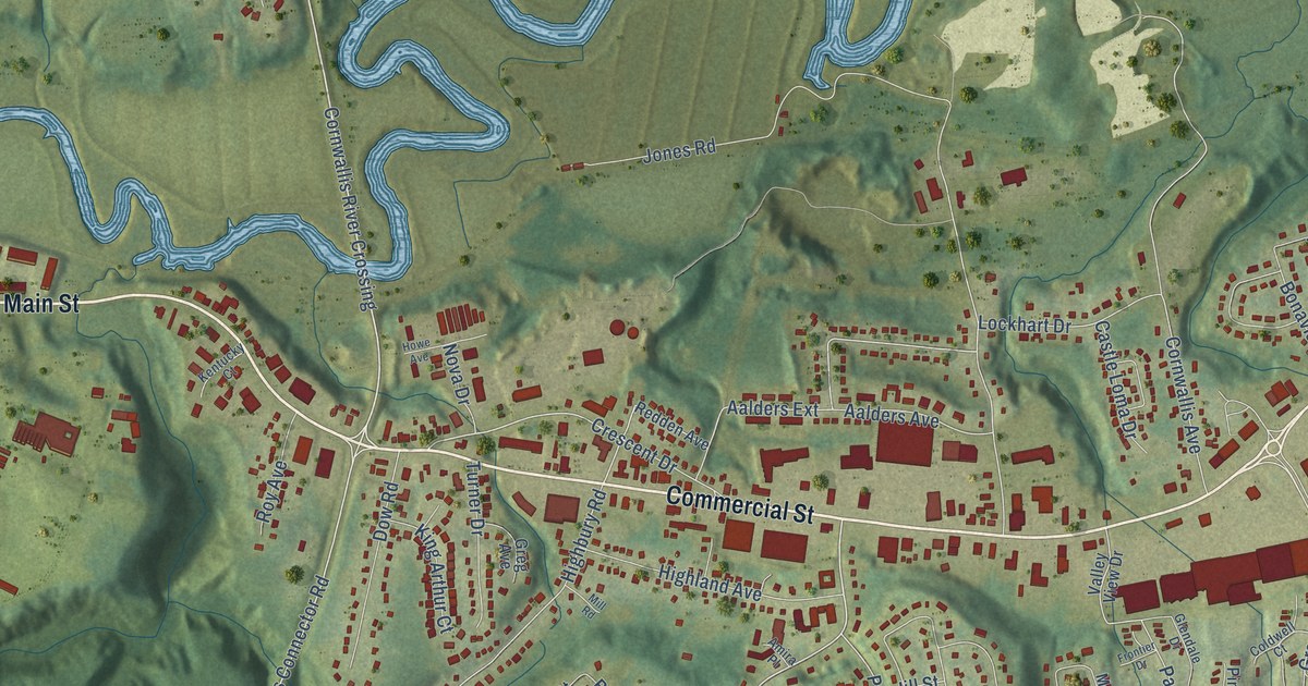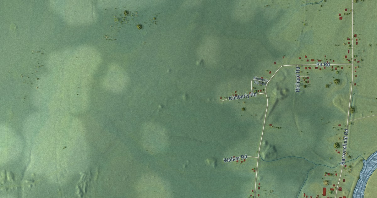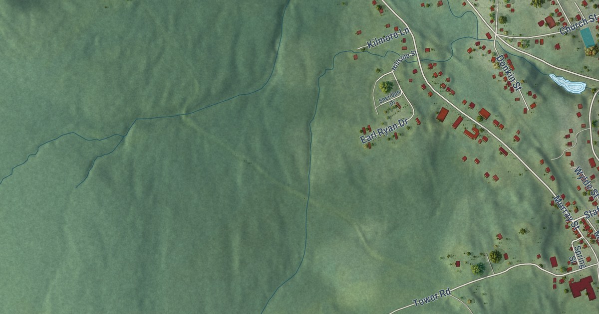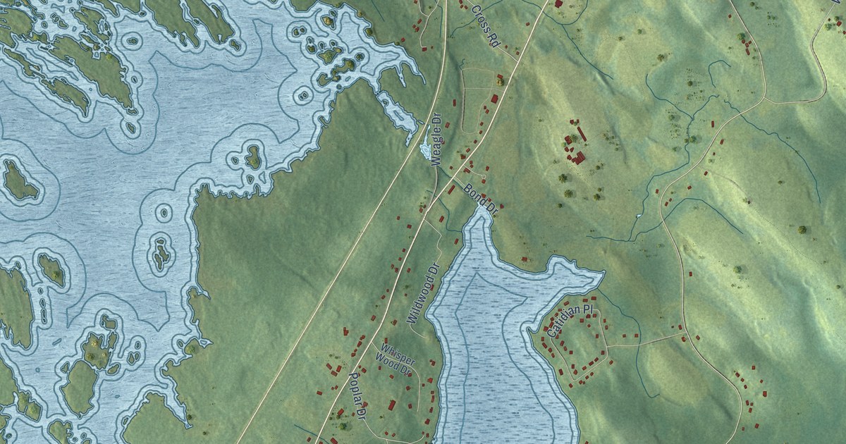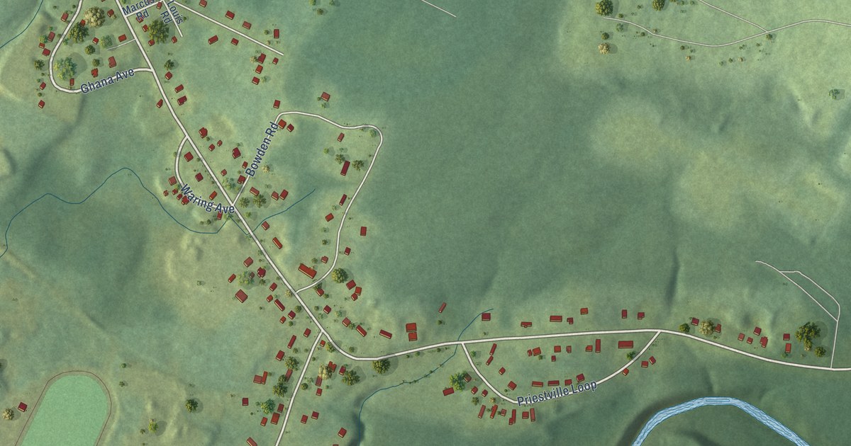
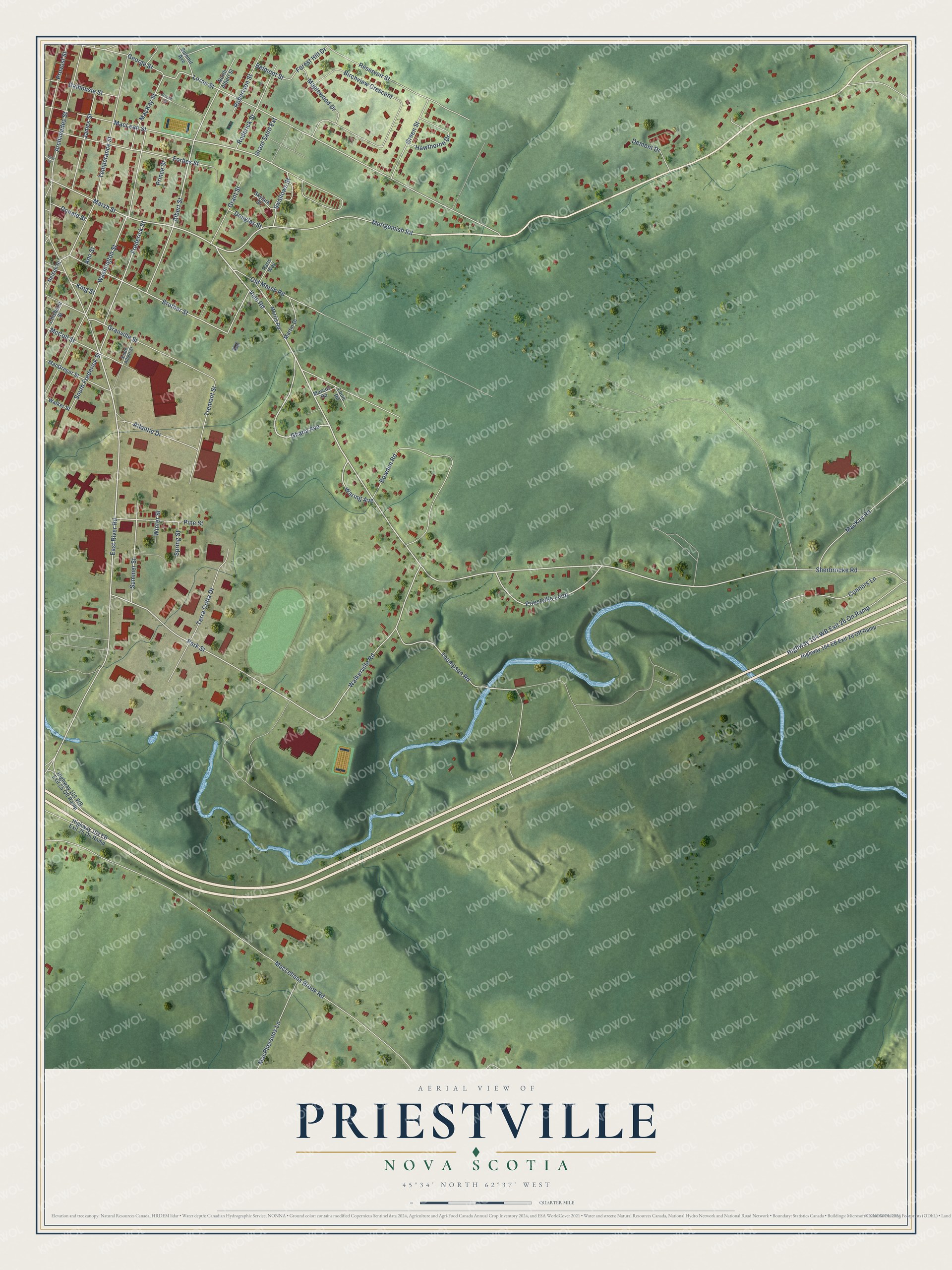
This beautifully detailed map of Priestville, Nova Scotia was created in 2026 using aerial imagery combined with modern topographical, census, street and landmark data. It’s a one-of-a-kind view of Priestville that combines accurate data with a vintage aesthetic. The map shows every building in its true location, many of the roads carry their names, and the shaded topographic relief shows the shape of the land.
Explore an aerial view of Priestville, Nova Scotia
On the map you’ll find Vale Road, Marsh Street, Ghana Avenue, East River Road, Waring Avenue, Sherbrooke Road, Albert Street, Frederick Street, Merigomish Road, Priestville Loop, Granville Street, South Frederick Street, and more. If you look closely you can even find your house accurately drawn in its correct location. Zoom in on the preview to look for yours.
Take a closer look at the Priestville map
Names on this map
These names are printed on this map.
Streets and roads: Vale Road, Marsh Street, Ghana Avenue, East River Road, Waring Avenue, Sherbrooke Road, Albert Street, Frederick Street, Merigomish Road, Priestville Loop, Granville Street, South Frederick Street.
More street names, A to Z
Ann Street, Archimedes Street, Atlantic Drive, Belmont Street, Birchview Crescent, Bowden Road, Brother Street, Chisholm Street, Connors Lane, Dalhousie Street, Demont Drive, Donald Street, Douglas Street, Forbes Street, Forest Hill Drive, George Street, Gerald Street, Grant Saint Extension, Grant Street, Green Street, Hawthorne Drive, Highway 104 EB Exit 25 On Ramp, Highway 104 EB Exit 26 Off Ramp, Highway 104 WB Exit 25 Off Ramp, Highway 104 WB Exit 26 On Ramp, James Street, Jury Street, King Street, Lorne Street, Louis Road, MacGregor Street, MacKay Road, MacKay Street, MacLean Street, MacLellans Brook Road, MacPhersons Lane, Maplewood Drive, Marcus Road, Martin Drive, McColl Street, Morris Road, Nelson Street, North Albert Street, Old Marsh Road, Paris Way, Park Street, Pine Street, Prince Street, Provost Street, Reservoir Street, Robertson Street, Roderick Street, Skylark Street, South Albert Street, Spring Street, Summer Street, Summit Avenue, Swallows Street, Temperance Street, Terra Cotta Drive, Thompson Road, Tremont Street, Walker Street, Walkerville Road, Washington Street, Winter Street.
See it on a wall
The Priestville map as an 18 x 24 inch print in a black frame.

This beautifully detailed map of Priestville makes an attractive addition to your office, library, or den, and it can even be used to teach children the geography and history of the area. It also makes a great gift for someone who left Priestville and still calls it home. When you’re done exploring, click here to get your copy of the Priestville map.