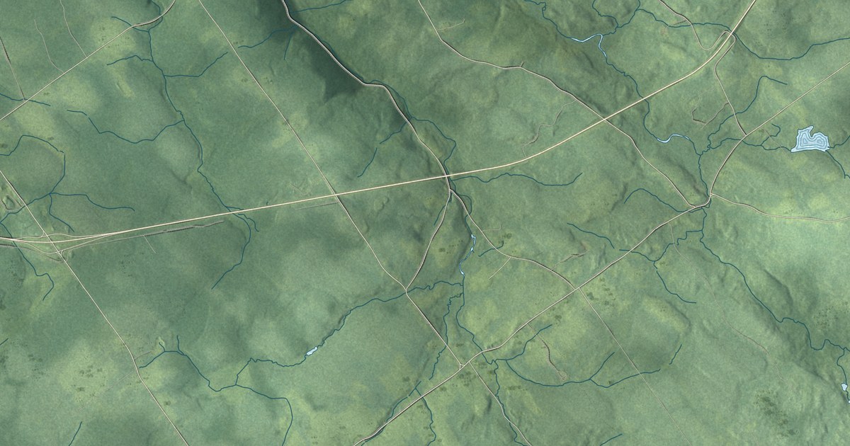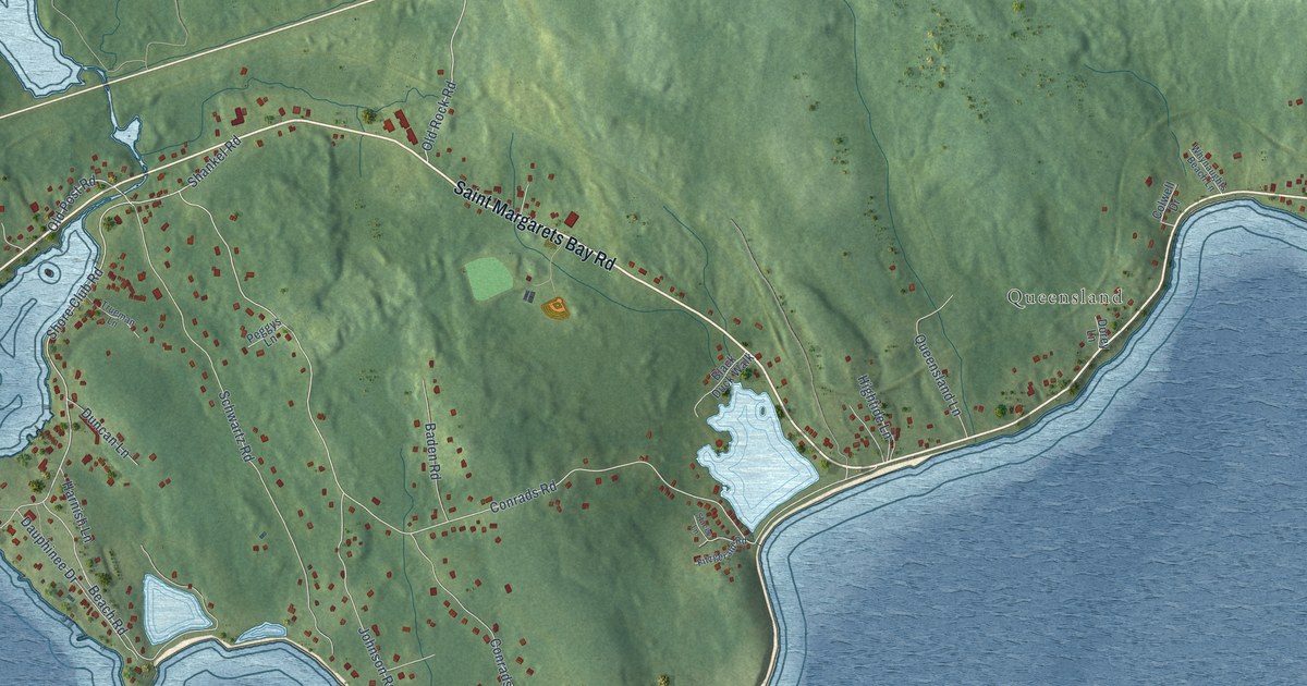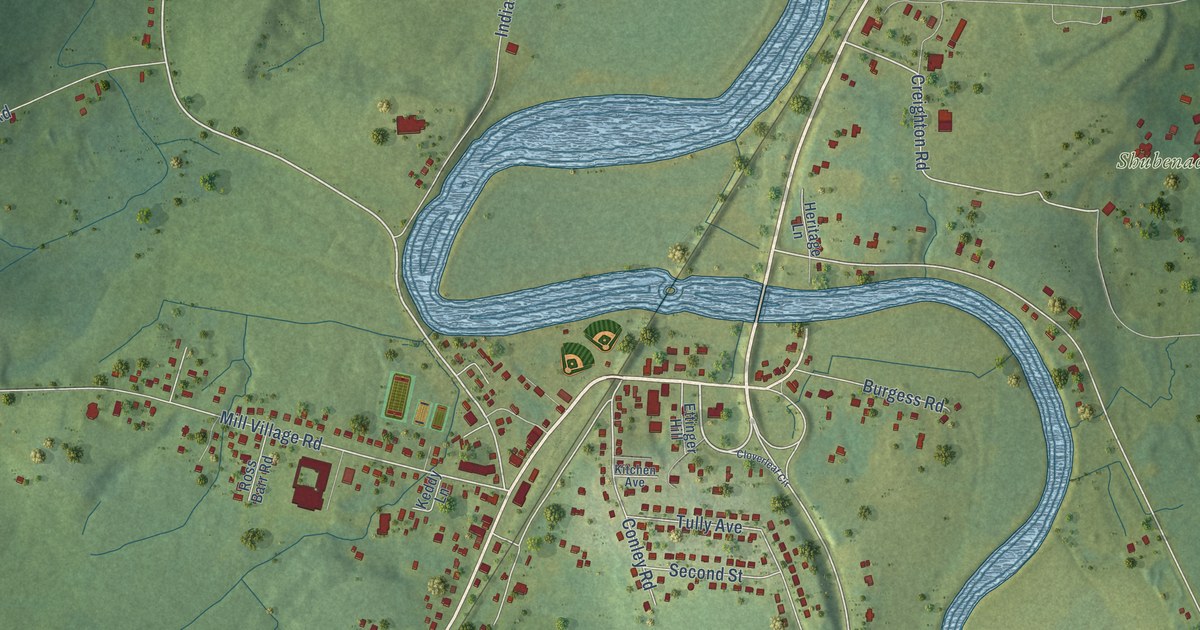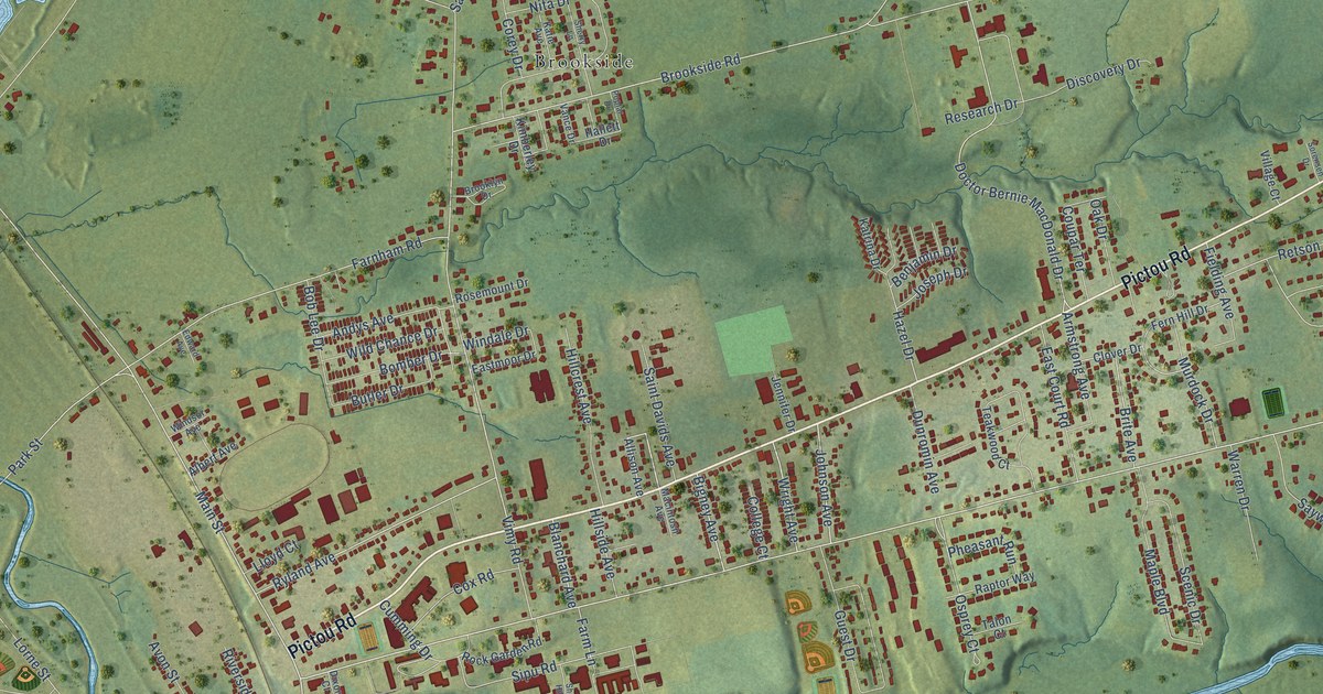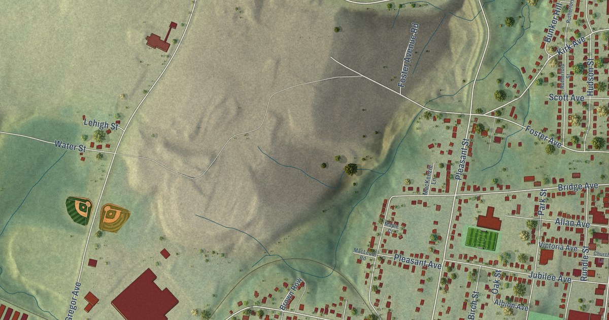
This beautifully detailed map of Stellarton, Nova Scotia was created in 2026 using aerial imagery combined with modern topographical, census, street and landmark data. It’s a one-of-a-kind view of Stellarton that combines accurate data with a vintage aesthetic. The map shows every building in its true location, many of the roads carry their names, and the shaded topographic relief shows the shape of the land.
Explore an aerial view of Stellarton, Nova Scotia
On the map you’ll find Stellarton Town Hall, Lourdes, Albion Park, and Allan Field, along with Foord Street, South Foord Street, River Street, Acadia Avenue, Pleasant Street, North Foord Street, Foster Avenue, George Street, and more. If you look closely you can even find your house accurately drawn in its correct location. Zoom in on the preview to look for yours.
Take a closer look at the Stellarton map
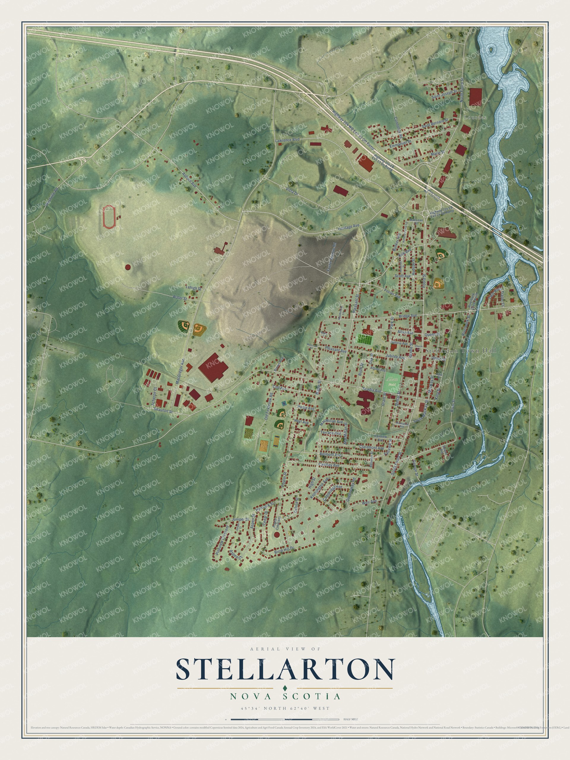
Names on this map
These names are printed on this map.
Places: Stellarton Town Hall, Lourdes, Albion Park and Allan Field.
Streets and roads: Foord Street, South Foord Street, River Street, Acadia Avenue, Pleasant Street, North Foord Street, Foster Avenue, George Street, MacGregor Avenue, Heritage Avenue, Kirk Avenue, Auburn Avenue.
More street names, A to Z
Acheron Court, Albion Avenue, Allan Avenue, Aspen Court, Aspen Street, Baxter Avenue, Beaufort Street, Belmont Avenue, Belmont Street, Birch Hill Drive, Birch Street, Bridge Avenue, Brown Row, Bunker Hill, Cambey Avenue, Cambridge Avenue, Cedar Drive, Church Lane, Claremont Avenue, Coll Avenue, Connollys Road, Duke Street, Emmanuel Street, Fairview Avenue, Fairview Street, Foster Avenue Road, Grant Street, Hemlock Street, High Street, Highway 104 EB Exit 23 On Ramp, Highway 104 EB Exit 24 Off Ramp, Highway 104 EB Exit 24 On Ramp, Highway 104 WB Exit 23 Off Ramp, Hoyt Avenue, Hudson Street, Jubilee Avenue, Juniper Court, Juniper Street, Kensington Avenue, King Street, Lawrence Boulevard, Lehigh Street, MacKay Street, MacKenzie Lane, MacLean Street, MacLeod Road, MacMillan Avenue, MacMillan Street, Manhattan Avenue, Maple Court, Maple Street, Marie Street, Oak Street, Old Foxbrook Road, Oxford Street, Park Street, Pineview Crescent, Pleasant Avenue, Poole Avenue, Poplar Crescent, Poplar Street, Queen Street, Queensway Road, Riverbank Street, Riverbank Street North, Rundle Street, Rutherford Saint Extension, Rutherford Street, Saint Bernard Street, Saint Joseph Street, Scott Avenue, South MacKay Street, Stellar Street, Terrace Avenue, Twin River Trailer Court, Union Street, Victoria Avenue, Vista Drive, Water Street, Weir Avenue, Westville Road.
See it on a wall
The Stellarton map as an 18 x 24 inch print in a black frame.

This beautifully detailed map of Stellarton makes an attractive addition to your office, library, or den, and it can even be used to teach children the geography and history of the area. It also makes a great gift for someone who left Stellarton and still calls it home. When you’re done exploring, click here to get your copy of the Stellarton map.