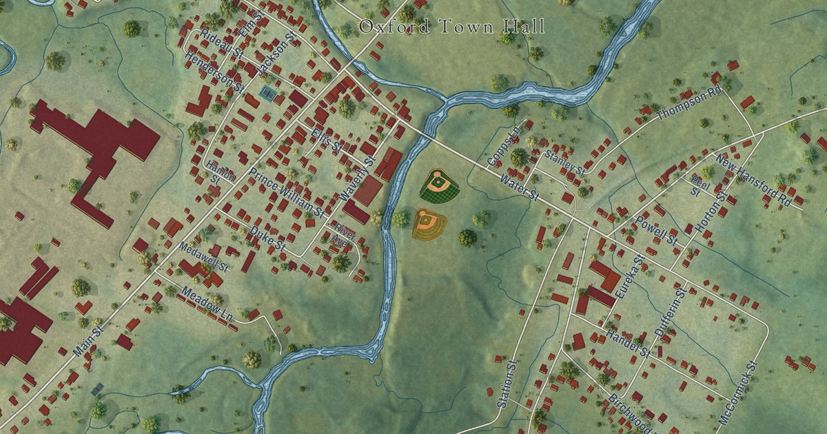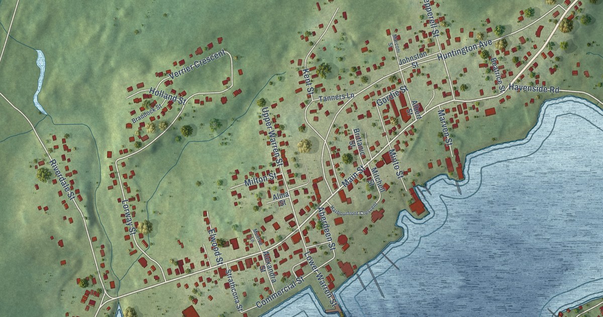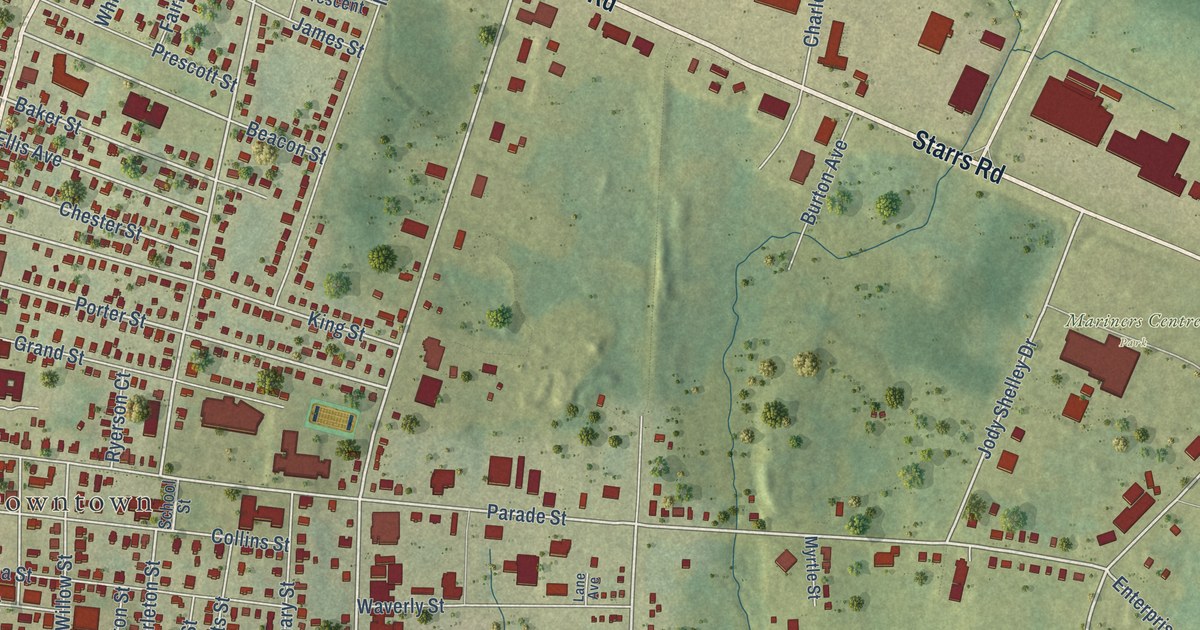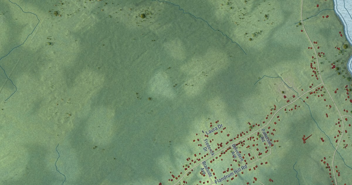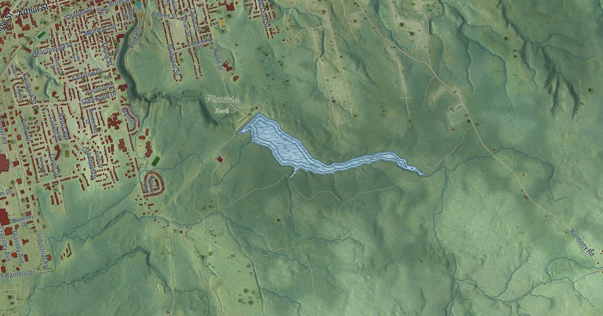
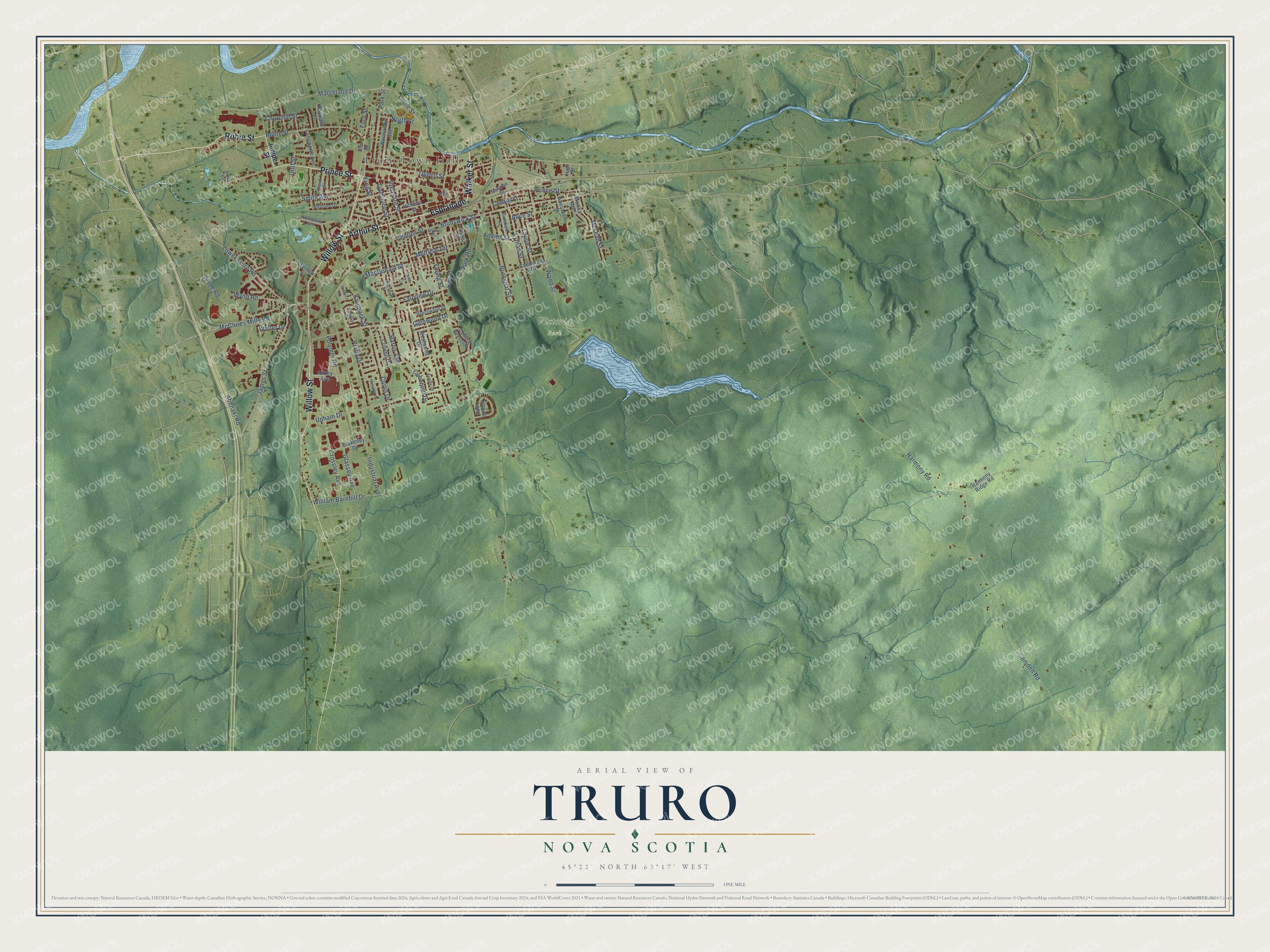
This beautifully detailed map of Truro, Nova Scotia was created in 2026 using aerial imagery combined with modern topographical, census, street and landmark data. It’s a one-of-a-kind view of Truro that combines accurate data with a vintage aesthetic. The map shows every building in its true location, many of the roads carry their names, and the shaded topographic relief shows the shape of the land.
Explore an aerial view of Truro, Nova Scotia
On the map you’ll find Truro Town Hall, Victoria Park, and Esplanade, along with Willow Street, Arthur Street, Walker Street, Prince Street, Robie Street, McClures Mills Road, Queen Street, Brunswick Street, Wood Street, and more. If you look closely you can even find your house accurately drawn in its correct location. Zoom in on the preview to look for yours.
Take a closer look at the Truro map
Names on this map
These names are printed on this map.
Places: Truro Town Hall and Victoria Park.
Streets and roads: Willow Street, Arthur Street, Esplanade, Walker Street, Prince Street, Robie Street, McClures Mills Road, Queen Street, Brunswick Street, Wood Street, Young Street, Pleasant Street.
More street names, A to Z
Abbey Avenue, Abenaki Road, Aberdeen Street, Adams Street, Alice Street, Archibald Street, Beechwood Drive, Blakeney Drive, Broad Street, Brodie Avenue, Burnyeat Street, Camden Road, Centennial Drive, Centre Street, Charles Street, Churchill Street, Cobequid Drive, Coburg Crescent, Crossley Avenue, Crowell Drive, Curtis Drive, Dominion Street, Doyle Street, Elm Street, Empire Loop, Fairview Drive, Ford Street, Fundy Drive, Glassey Avenue, Glenwood Drive, Golf Street, Harmony Ridge Road, Harmony Road, Harris Avenue, Hayward Court, Highland Drive, High Street, Hillcrest Street, Industrial Avenue, Inglis Place, James Street, Juniper Street, Kaulback Street, King Street, Laurie Street, Lavinia Drive, Lewis Road, Longworth Avenue, Lorne Street, Lower Truro Road, Lyman Street, MacDonald Street, Marigold Drive, Marshland Drive, Martha Avenue, McLean Street, Melrose Terrace, Minerva Drive, Munroe Street, Normandy Avenue, North Street, Parker Street, Park Road, Park Street, Polymer Road, Purdy Drive, Roosevelt Avenue, Ross Street, Smith Avenue, Upham Drive, Victoria Street, Wade Road, Waller Drive, Westwood Drive, William Barnhill Drive, Willow Lane, Wynn Road.
See it on a wall
The Truro map as an 18 x 24 inch print in a black frame.

This beautifully detailed map of Truro makes an attractive addition to your office, library, or den, and it can even be used to teach children the geography and history of the area. It also makes a great gift for anyone with Truro roots. When you’re done exploring, click here to get your copy of the Truro map.