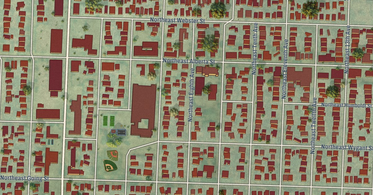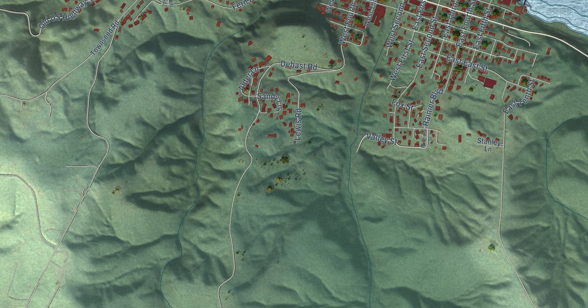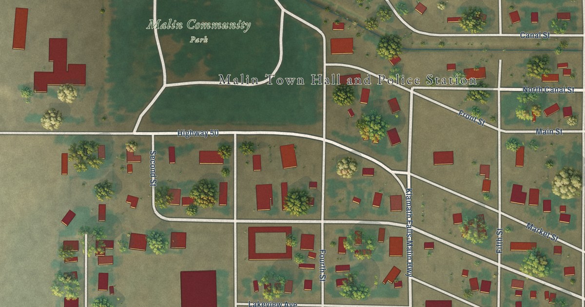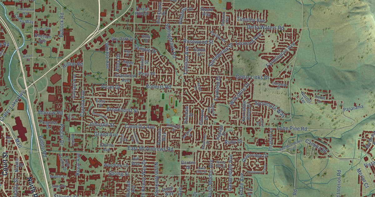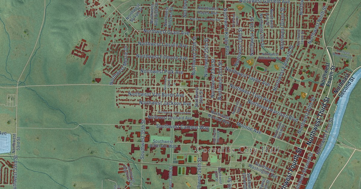
This beautifully detailed map of Corvallis, Oregon was created in 2026 using aerial imagery combined with modern topographical, census, street and landmark data. It’s a one-of-a-kind view of Corvallis that combines accurate data with a vintage aesthetic. The map shows every building in its true location, many of the roads carry their names, and the shaded topographic relief shows the shape of the land.
Explore an aerial view of Corvallis, Oregon
On the map you’ll find Corvallis City Hall, Avery City Park, and Oak Lawn Memorial Park, along with Corvallis Newport Highway, Southwest Philomath Boulevard, Northwest Third Street, Southwest Third Street, Southeast Third Street, Pacific Highway West, Southwest Fourth Street, Northwest Harrison Boulevard, Northwest Elmwood Drive, and more. If you look closely you can even find your house accurately drawn in its correct location. Zoom in on the preview to look for yours.
Did you know this piece of Corvallis, Oregon history?
From the Oregon Encyclopedia: "The town briefly served as the capital of Oregon Territory in 1855 amidst disputes among Oregon's governors and the territorial legislature over the matter. Salem eventually won out and became the seat of territorial government in 1856."
Corvallis is a city in Benton County.
Take a closer look at the Corvallis map
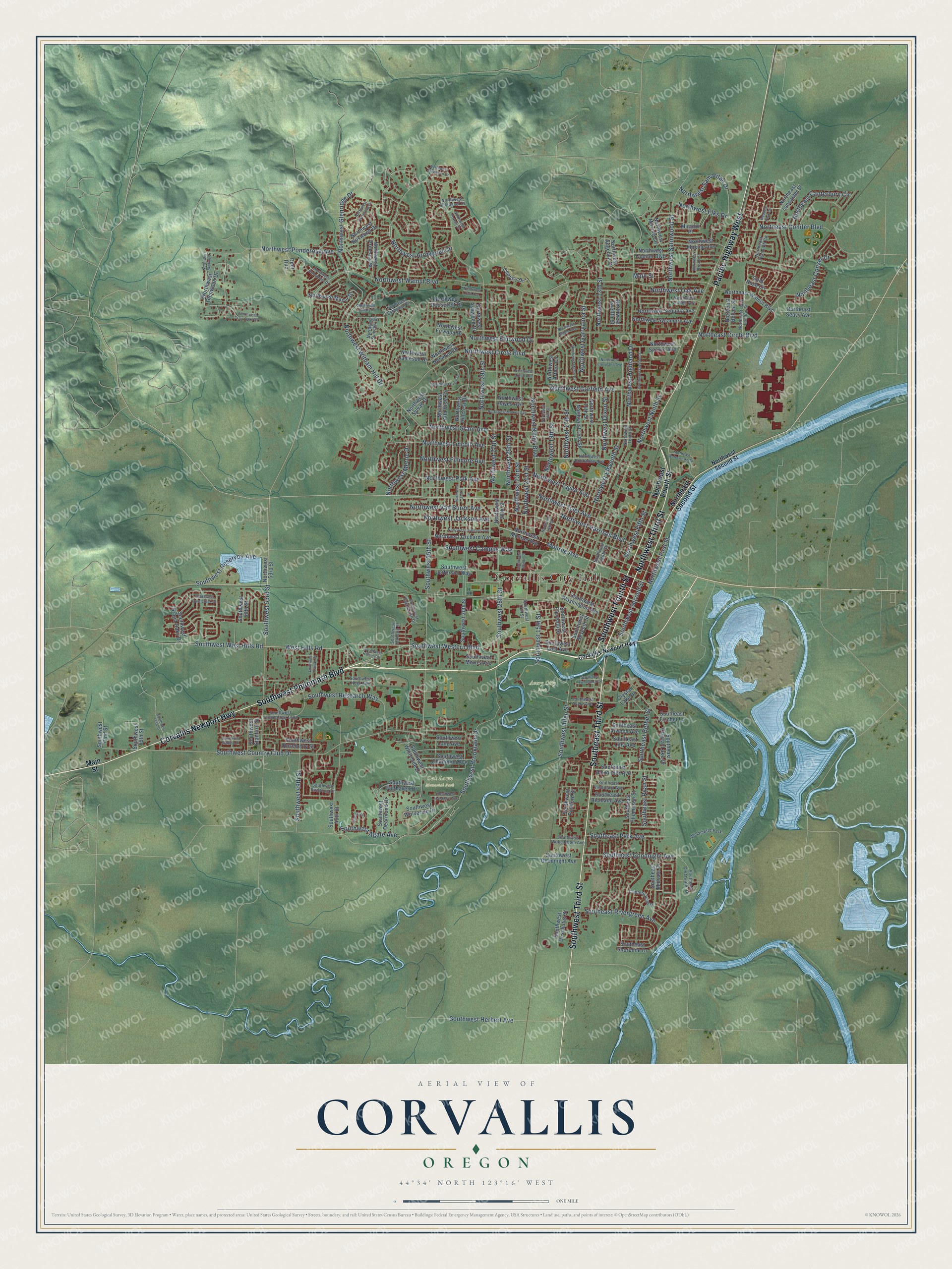
Street and place names on the Corvallis, Oregon map
These names are printed on the map of Corvallis, Oregon.
Places: Corvallis City Hall, Avery City Park, Oak Lawn Memorial Park and Willamette Park.
Streets and roads: Corvallis Newport Highway, Southwest Philomath Boulevard, Northwest Third Street, Southwest Third Street, Southeast Third Street, Pacific Highway West, Southwest Fourth Street, Northwest Harrison Boulevard, Northwest Elmwood Drive, Southwest Brooklane Drive, Southwest Reservoir Avenue, Southwest Western Boulevard.
More street names, A to Z
Centerpointe Drive, Century Drive, Corvallis-Newport Highway, Crystal Lake Drive, Deer Run, Gold Rush Circle, Main Street, Meadow Park Circle, Mirador Place, Monroe Avenue, Northeast Belvue Street, Northeast Canterbury Circle, Northeast Circle Boulevard, Northeast Conifer Boulevard, Northeast Conser Drive, Northeast Jack London Street, Northeast Lancaster Street, Northeast Plymouth Circle, Northeast Seavy Avenue, Northeast Second Street, Northeast Walnut Boulevard, Northeast Waterworks Street, Northwest 13th Street, Northwest 14th Street, Northwest 15th Street, Northwest 16th Street, Northwest 17th Street, Northwest 19th Street, Northwest 20th Street, Northwest 21st Street, Northwest 23rd Street, Northwest 25th Street, Northwest 26th Street, Northwest 27th Street, Northwest 29th Street, Northwest 31st Street, Northwest 53rd Street, Northwest Alta Vista Drive, Northwest Angelica Drive, Northwest Arrowood Circle, Northwest Arthur Avenue, Northwest Arthur Circle, Northwest Ashwood Drive, Northwest Boxwood Drive, Northwest Bryant Street, Northwest Buchanan Avenue, Northwest Buttercup Drive, Northwest Canary Place, Northwest Circle Boulevard, Northwest Cleveland Avenue, Northwest Conifer Boulevard, Northwest Crest Drive, Northwest Division Street, Northwest Dixon Street, Northwest Eighth Street, Northwest Eleventh Street, Northwest Elks Drive, Northwest Estaview Circle, Northwest Fair Oaks Drive, Northwest Fifth Street, Northwest Fillmore Avenue, Northwest First Street, Northwest Firwood Drive, Northwest Fourth Street, Northwest Foxtail Street, Northwest Garfield Avenue, Northwest Garryanna Street, Northwest Glenridge Drive, Northwest Glenwood Drive, Northwest Goldfinch Drive, Northwest Grant Avenue, Northwest Hayes Avenue, Northwest Highland Drive, Northwest Hillcrest Drive, Northwest Jackson Avenue, Northwest Jameson Drive, Northwest Johnson Avenue, Northwest Kings Boulevard, Northwest Lincoln Avenue, Northwest Linden Avenue, Northwest Maple Avenue, Northwest Maser Drive, Northwest Maxine Avenue, Northwest Maxine Circle, Northwest Menlo Drive, Northwest Merrie Drive, Northwest Monroe Avenue, Northwest Mulkey Avenue, Northwest Ninth Street, Northwest Norwood Drive, Northwest Oak Avenue, Northwest Orchard Avenue, Northwest Polk Avenue, Northwest Ponderosa Avenue, Northwest Princess Street, Northwest Romancier Drive, Northwest Roosevelt Drive, Northwest Samaritan Drive, Northwest Satinwood Street, Northwest Second Street, Northwest Sequoia Avenue, Northwest Silktassel Drive, Northwest Skyline Drive, Northwest Spruce Avenue, Northwest Sunview Drive, Northwest Sycamore Avenue, Northwest Sylvan Drive, Northwest Taft Avenue, Northwest Taylor Avenue, Northwest Tenth Street, Northwest Twelfth Street, Northwest Tyler Avenue, Northwest Van Buren Avenue, Northwest Walnut Boulevard, Northwest Witham Hill Drive, Southeast Alexander Avenue, Southeast Atwood Avenue, Southeast Bethel Street, Southeast Clearwater Drive, Southeast Crystal Lake Drive, Southeast Fischer Lane, Southeast Goodnight Avenue, Southeast Lilly Avenue, Southeast Midvale Drive, Southeast Park Avenue, Southeast Richland Avenue, Southeast Rivergreen Avenue, Southeast Ryan Street, Southeast Shoreline Drive, Southeast Thompson Street, Southeast Viewmont Avenue, Southwest 15th Street, Southwest 17th Street, Southwest 26th Street, Southwest 30th Street, Southwest 35th Street, Southwest 45th Street, Southwest 49th Street, Southwest 53rd Street, Southwest 56th Street, Southwest 66th Street, Southwest 69th Street, Southwest 72nd Street, Southwest Agate Avenue, Southwest Allen Street, Southwest Avery Avenue, Southwest Birdsong Drive, Southwest Campus Way, Southwest Chintimini Avenue, Southwest Country Club Drive, Southwest Dearmond Drive, Southwest Deschutes Street, Southwest East Avenue, Southwest Eleventh Street, Southwest Fairhaven Drive, Southwest Goodnight Avenue, Southwest Grand Oaks Drive, Southwest Hanson Street, Southwest Hawkeye Avenue, Southwest Herbert Avenue, Southwest Hillside Drive, Southwest Jefferson Way, Southwest Long Avenue, Southwest Morris Avenue, Southwest Neer Avenue, Southwest Pickford Street, Southwest Quietcreek Drive, Southwest Redtop Place, Southwest Research Way, Southwest Roseberry Street, Southwest Sagebrush Drive, Southwest Second Street, Southwest Seventh Street, Southwest Stanford Street, Southwest Technology Loop, Southwest Timian Street, Southwest Twin Oaks Circle, Southwest Wake Robin Avenue, Southwest Waldo Place, Southwest Washington Avenue, Southwest West Hills Road, Southwest Whiteside Drive, Southwest Wolverine Drive, Titleist Circle, West Hills Road.
See the Corvallis, Oregon map on a wall
The Corvallis map as an 18 x 24 inch print in a black frame.

This beautifully detailed map of Corvallis makes an attractive addition to your office, library, or den, and it can even be used to teach children the geography and history of the area. It also makes a great gift for someone who left Corvallis and still calls it home. When you’re done exploring, click here to get your copy of the Corvallis map.