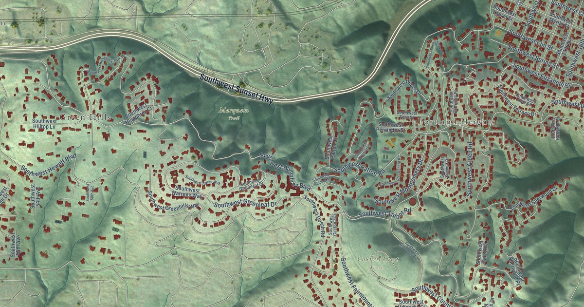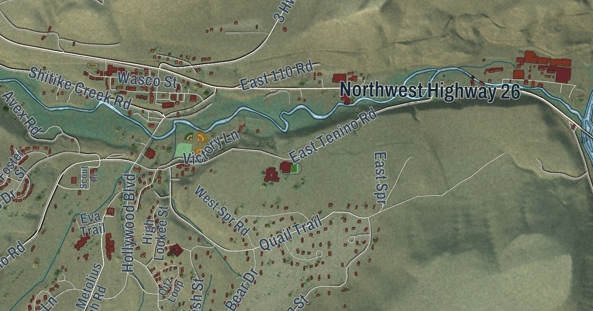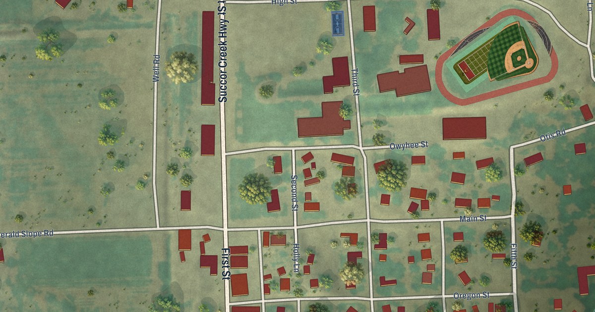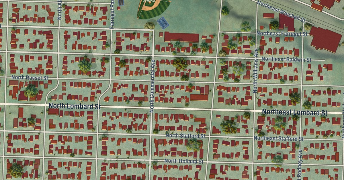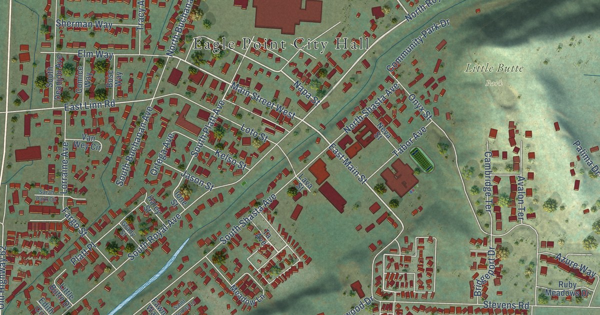
This beautifully detailed map of Eagle Point, Oregon was created in 2026 using aerial imagery combined with modern topographical, census, street and landmark data. It’s a one-of-a-kind view of Eagle Point that combines accurate data with a vintage aesthetic. The map shows every building in its true location, many of the roads carry their names, and the shaded topographic relief shows the shape of the land.
Explore an aerial view of Eagle Point, Oregon
On the map you’ll find Eagle Point City Hall, Little Butte Park, and Eagle Point Golf Club, along with Crater Lake Highway, Main Street West, North Buchanan Avenue, Teakwood Drive, East Main Street, Napa Street, Karic Way, Saint Andrews Way, Ridgeview Drive, and more. If you look closely you can even find your house accurately drawn in its correct location. Zoom in on the preview to look for yours.
Did you know this piece of Eagle Point, Oregon history?
From the History of Southern Oregon: "T. Cameron built the first dwelling in Eagle Point in the fall of 1853, a small log house which still stands. The Eagle Point flour mill was built in 1872, by John Daley and E. Emory."
Eagle Point is a city in Jackson County.
Take a closer look at the Eagle Point map
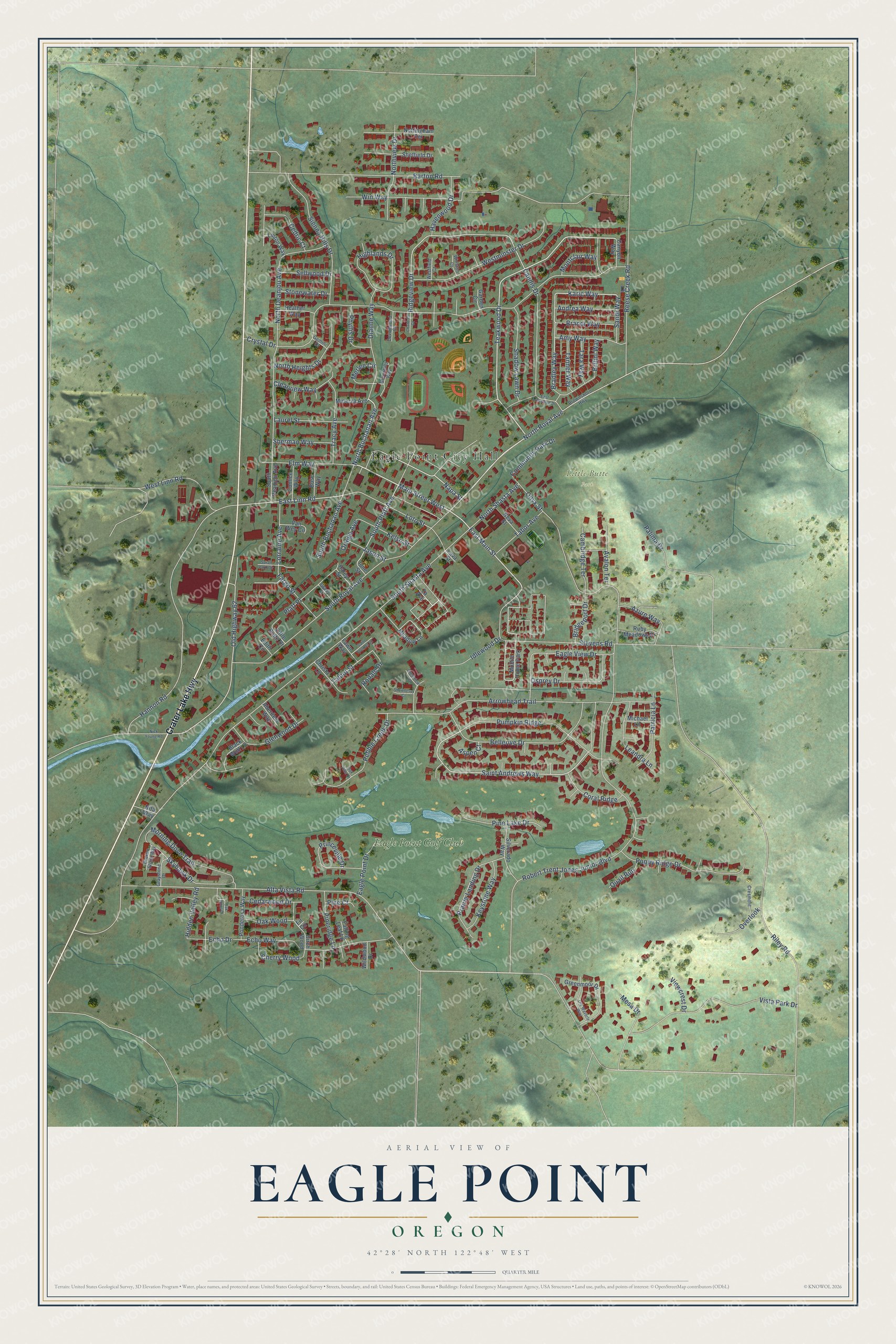
Street and place names on the Eagle Point, Oregon map
These names are printed on the map of Eagle Point, Oregon.
Places: Eagle Point City Hall, Little Butte Park, Eagle Point Golf Club and Mobile Home Park.
Streets and roads: Crater Lake Highway, Main Street West, North Buchanan Avenue, Teakwood Drive, East Main Street, Napa Street, Karic Way, Saint Andrews Way, Ridgeview Drive, Old Highway 62, East Linn Road, Bradley Way.
More street names, A to Z
Aberdeen Way, Alta Vista Road, Amy Way, Andrea Way, Arrowhead Trail, Aspen Court, Avalon Terrace, Azure Way, Barton Road, Bellerive Drive, Birch Wood, Black Wolf Lane, Bosc Way, Brandi Way, Bridgeport Drive, Britini Way, Broken Stone Way, Brownsboro Highway, Cambridge Terrace, Candis Drive, Canyon Way, Cedarwood Drive, Cedric Court, Chantrell Court, Cherry Wood, Christa Lane, Clearview Way, Comice Way, Community Park Drive, Coral Ridge, Cresmont, Crestview Court, Crystal Drive, Devonwood Court, Dianne Way, Eagle Point Drive, Eagle View Drive, East Archwood Drive, Echo Drive, Echo Way, Edith Circle, Elm Way, Falling Leaf Lane, Fargo Street, Fawn Way, Fir Circle, Garden Circle, Gemini Drive, Glenwood Drive, Grady Street, Graystone Drive, Greenhills Way, Greenmoor Drive, Haley Street, Hannon Road, Havenwood Drive, Heather Way, Hidden Valley Road, Highlands Drive, Idlewood Drive, Ione Street, Jason Street, Kelso Street, Keystone Way, Laurel Street, Lava Street, Leandra Lane, Linton Way, Little Butte Drive, Lorraine Avenue, Loto Street, Meadow Lane, Merlee Circle, Mesa Drive, Michael Lane, Minerva Avenue, Montclair Way, Morning Dove Trail, Neva Street, Nick Young Road, Nita Way, North Deanjou Avenue, North Heights Drive, North Royal Avenue, North Shasta Avenue, Northview Drive, Nottingham Terrace, Oak Hills Court, Oak Point Drive, Oak Wood, Old Waverly Way, Onyx Street, Ortega Avenue, Osprey Drive, Overlook, Palima Drive, Patricia Lane, Pebble Creek Drive, Phyllis Drive, Pine Court, Pine Lake Drive, Pineridge Lane, Platt Place, Ponderosa Way, Poppy Ridge Drive, Prairie Landing Drive, Princeville Drive, Pumpkin Ridge, Quail Run, Reese Creek Road, Riley Road, Robert Trent Jones Junior Boulevard, Rodale Drive, Ruby Meadows Drive, Saint Thomas Lane, Sandi Way, Sarah Park Circle, Sellwood Drive, Shadow Lawn Drive, Shawnessy Court, Sheffield Drive, Sherman Way, Sienna Hills Drive, Silverado Way, Skyhawk Drive, South Buchanan Avenue, South Deanjou Avenue, South Platt Avenue, South Royal Avenue, South Shasta Avenue, Stevens Road, Stonewater Drive, Ta Avenue, Tabor Avenue, Talbot Street, Tanner Way, Tara Way, Tracy Avenue, Van Wey Circle, Viewcrest Drive, Vista Park Drive, Westfield Court, West Linn Road, Westminster Drive, Wildwood Drive, Winston Court, Win Way.
See the Eagle Point, Oregon map on a wall
The Eagle Point map as an 18 x 24 inch print in a black frame.

This beautifully detailed map of Eagle Point makes an attractive addition to your office, library, or den, and it can even be used to teach children the geography and history of the area. It also makes a great gift for someone who left Eagle Point and still calls it home. When you’re done exploring, click here to get your copy of the Eagle Point map.