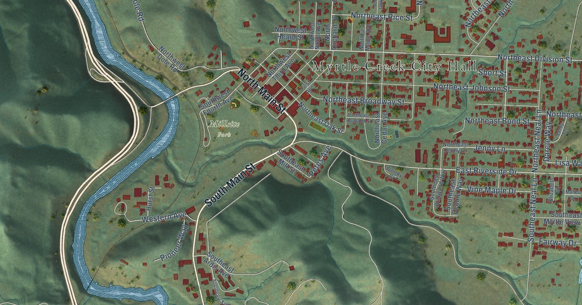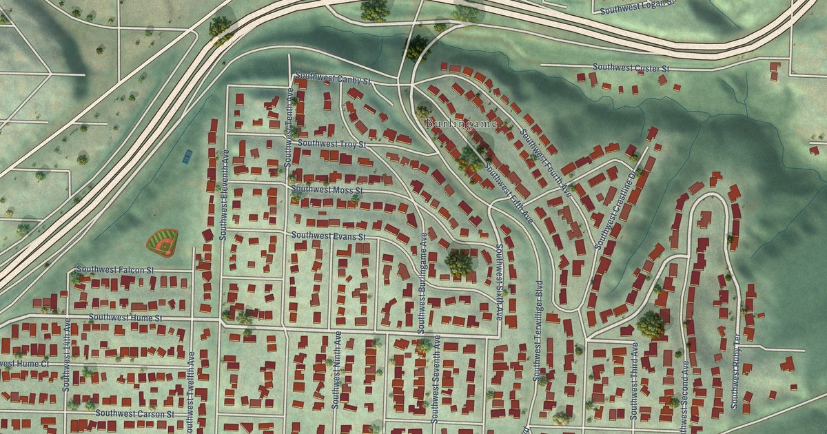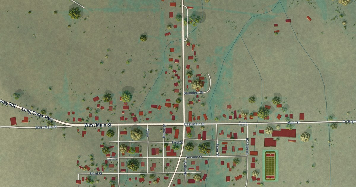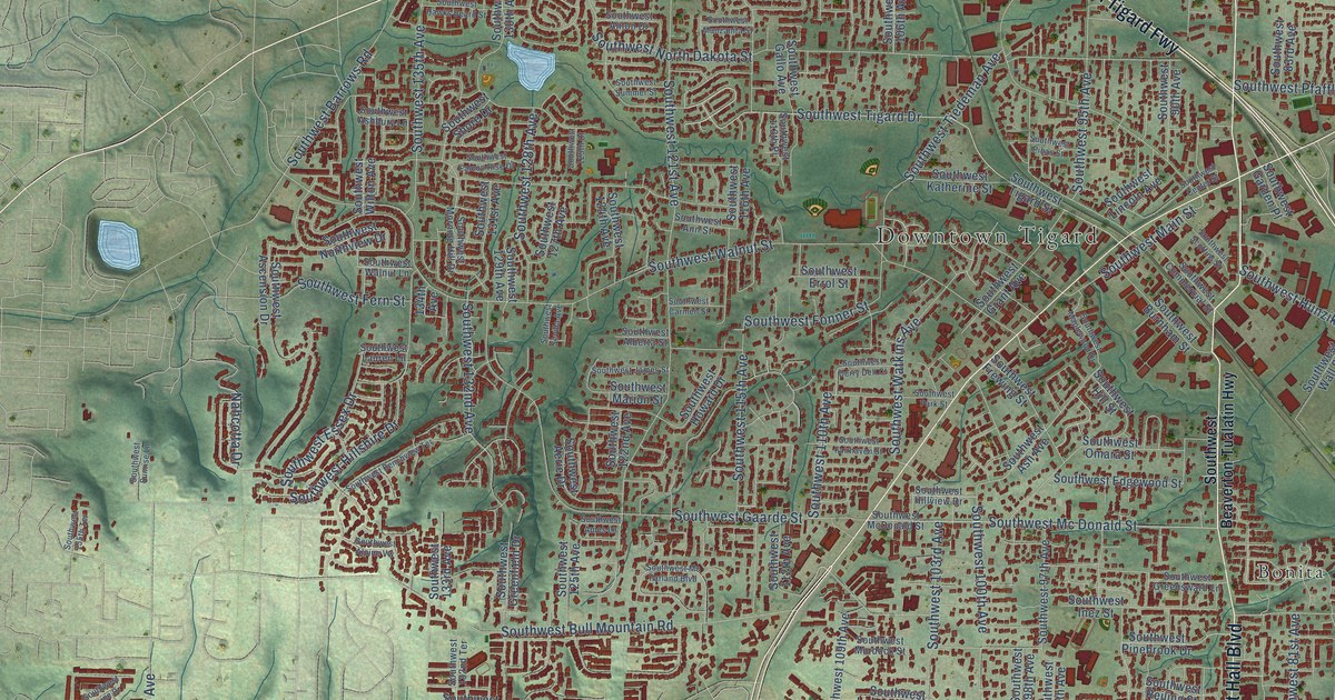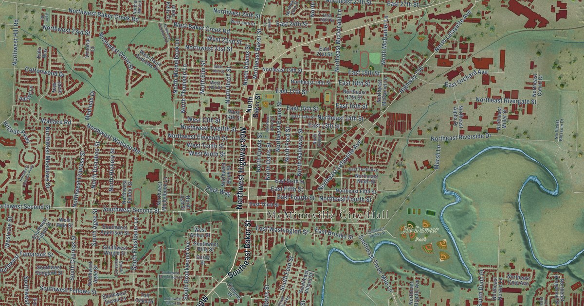
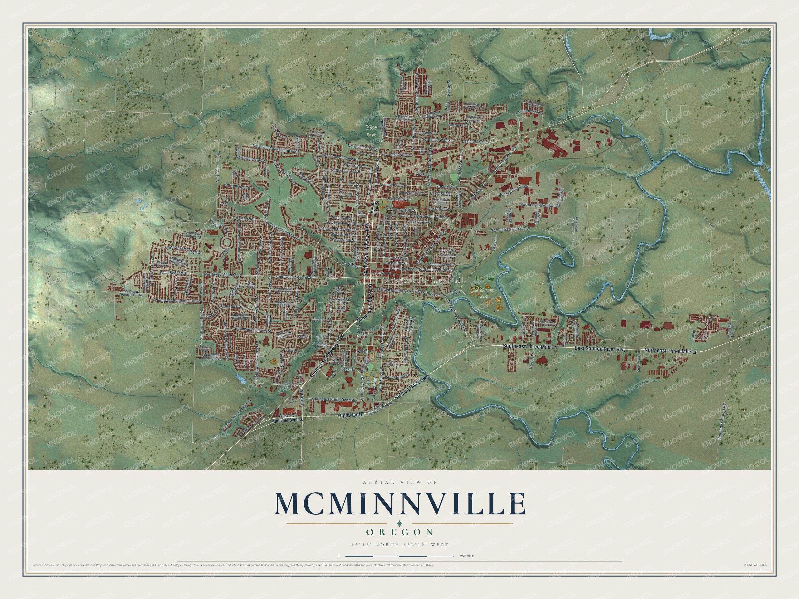
This beautifully detailed map of McMinnville, Oregon was created in 2026 using aerial imagery combined with modern topographical, census, street and landmark data. It’s a one-of-a-kind view of McMinnville that combines accurate data with a vintage aesthetic. The map shows every building in its true location, many of the roads carry their names, and the shaded topographic relief shows the shape of the land.
Explore an aerial view of McMinnville, Oregon
On the map you’ll find McMinnville City Hall, Joe Dancer Park, Tice Park, and Nindels, along with Salmon River Highway, Highway 18, Southwest Highway 99W, Northwest Highway 99W, East Salmon River Highway, Southeast Three Mile Lane, Northeast Three Mile Lane, Southeast Baker Street, and more. If you look closely you can even find your house accurately drawn in its correct location. Zoom in on the preview to look for yours.
Did you know this piece of McMinnville, Oregon history?
From Oregonencyclopedia.org: "The first bank in the county was established in McMinnville in the 1880s, and the hard work and vision of the first citizens paid off when the county seat was moved there from Lafayette in 1889."
McMinnville is a city in Yamhill County.
Take a closer look at the McMinnville map
Street and place names on the McMinnville, Oregon map
These names are printed on the map of McMinnville, Oregon.
Places: McMinnville City Hall, Joe Dancer Park and Tice Park.
Streets and roads: Salmon River Highway, Highway 18, Nindels, East Salmon River Highway, Southeast Three Mile Lane, Northeast Three Mile Lane, Southeast Baker Street, Southwest Cypress Lane, Northeast Baker Street, Southwest Second Street, Northwest Second Street, East 27th Street.
More street names, A to Z
Adisyn Lane, Alice Kelly Court, Armory Way, Booth Bend Road, Campus Drive, Cottonwood Drive, Cowls Court, Crown Circle, Dawn Drive, Derby Street, Dillon, East 13th Street, East 14th Street, East 15th Street, East 16th Street, East 17th Street, East 18th Street, East 19th Street, East 21st Street, East 24th Street, East 25th Street, East 28th Street, East Border Lane, East Brooks Street, East Fifth Street, East Fourth Street, East Mc Minnville Bypass, East Morgan Lane, East Orchard Avenue, East Sixth Street, East Street, East Tenth Avenue, East Third Street, East Washington Street, Emily Drive, Emma Drive, Hann Drive, Highway 156, Hilary, Hillside Parkway, Hoffman Street, Howard Drive, Jacie Way, Kale Way, Keck Drive, Laurel Drive, Lucas Drive, Marsh Lane, Medinah Drive, Mount Hood Drive, Mount Mazama Street, Newby Street, Nicole Drive, North Adams Street, North Ash Street, North Baker Street, North Birch Street, North Cowls Street, North Davis Street, North Donahoo Street, Northeast 14th Street, Northeast 17th Street, Northeast 18th Street, Northeast 19th Street, Northeast 27th Street, Northeast Alpha Drive, Northeast Atlantic Avenue, Northeast Blossom Drive, Northeast Burnett Road, Northeast Coburn Drive, Northeast Cole Avenue, Northeast Colvin Court, Northeast Davis Street, Northeast Doran Drive, Northeast Evans Street, Northeast Fifth Street, Northeast Ford Street, Northeast Fourth Street, Northeast Hembree Street, Northeast Jacob Street, Northeast Kingwood Street, Northeast Lafayette Avenue, Northeast Lucy Belle Street, Northeast May Lane, Northeast McDaniel Lane, Northeast McDonald Lane, Northeast Miller Street, Northeast Ninth Street, Northeast Norton Lane, Northeast Rivergate Street, Northeast Riverside Drive, Northeast Spring Meadow Drive, North Elm Street, North Ford Street, North Galloway Street, North Hembree Street, North Hickory Street, North Irvine Street, North Lafayette Avenue, North McDaniel Lane, North Michelbook Lane, North Newby Street, North Thomsen Lane, Northwest 21st Street, Northwest 23rd Street, Northwest 25th Street, Northwest Baker Creek Road, Northwest Baker Crest Court, Northwest Birch Street, Northwest Cemetery Road, Northwest Cypress Street, Northwest Doral Street, Northwest Eleventh Street, Northwest Fenton Street, Northwest Grandhaven Street, Northwest Hidden Meadows Road, Northwest Hill Road, Northwest Hillside Parkway, Northwest Horizon Drive, Northwest Meadows Drive, Northwest Merlot Drive, Northwest Michelbook Lane, Northwest Pinehurst Drive, Northwest Twelfth Street, Northwest Wallace Road, Northwest West Hills Drive, Northwest Westside Road, Norton Lane, Park Way, Pinot Noir Drive, Renske Way, South Agee Street, South Brockwood Avenue, South Cowls Street, South Cypress Street, South Davis Street, South Dunn Place, Southeast Airport Road, Southeast Booth Bend Road, Southeast Brooks Street, Southeast Davis Street, Southeast Keck Circle, Southeast Lever Street, Southeast Loop Road, Southeast Millright Avenue, Southeast Villard Street, South Fleishauer Lane, South Ford Street, South Lever Street, South Russ Lane, South Villard Street, Southwest Agee Street, Southwest Alexandria Street, Southwest Apperson Street, Southwest Bills Street, Southwest Blaine Street, Southwest Darci Drive, Southwest Edmunston Street, Southwest Fellows Street, Southwest Filbert Street, Southwest Gilson Street, Southwest Goucher Street, Southwest Hilary Street, Southwest Hill Road, Southwest Hill Road South, Southwest Nicole Drive, Southwest Old Sheridan Road, Southwest Redmond Hill Road, Southwest Songbird Street, Southwest Squirrel Hill Road, Southwest Susan Lane, Southwest Tamarack Street, Southwest Taylor Drive, Southwest Valleys Edge Street, Southwest West Hills Drive, Southwest Westvale Street, Southwest Wright Street, Tall Oaks Drive, Victoria Court, Wallace Road, West 13th Street, West 14th Street, West 18th Street, West 19th Street, West 22nd Street, West 24th Street, West Arthur Street, West Baker Creek Road, West Mc Minnville Bypass, West Ninth Street, West Old Sheridan Highway, West Pine Street, West Saint Andrews Drive, West Second Street, West Taft Street, West Tenth Street, Westvale Street.
See the McMinnville, Oregon map on a wall
The McMinnville map as an 18 x 24 inch print in a black frame.

This beautifully detailed map of McMinnville makes an attractive addition to your office, library, or den, and it can even be used to teach children the geography and history of the area. It also makes a great gift for someone who left McMinnville and still calls it home. When you’re done exploring, click here to get your copy of the McMinnville map.