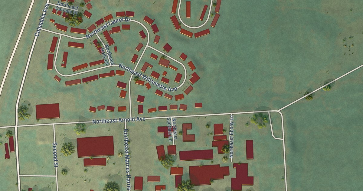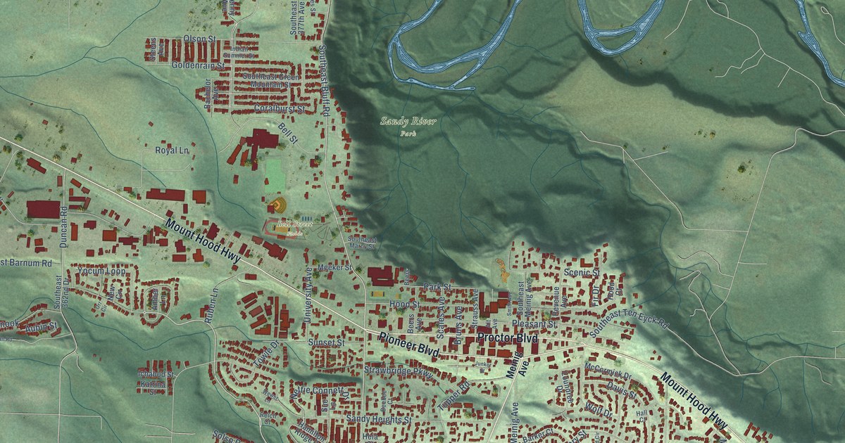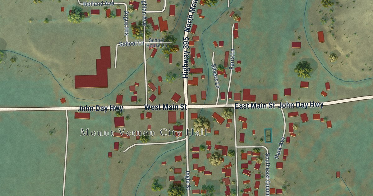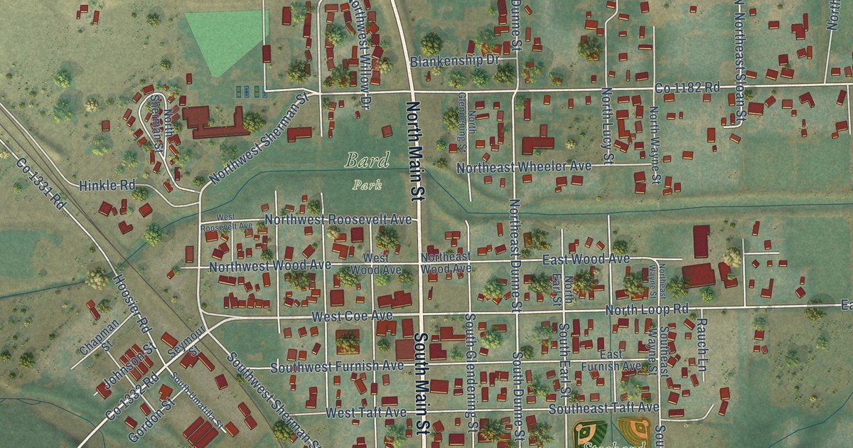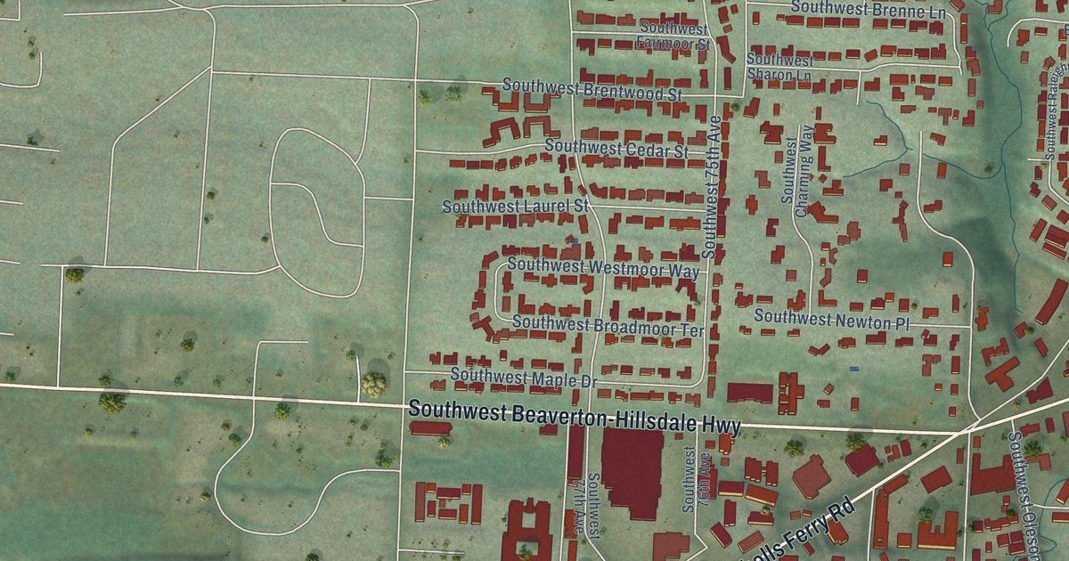
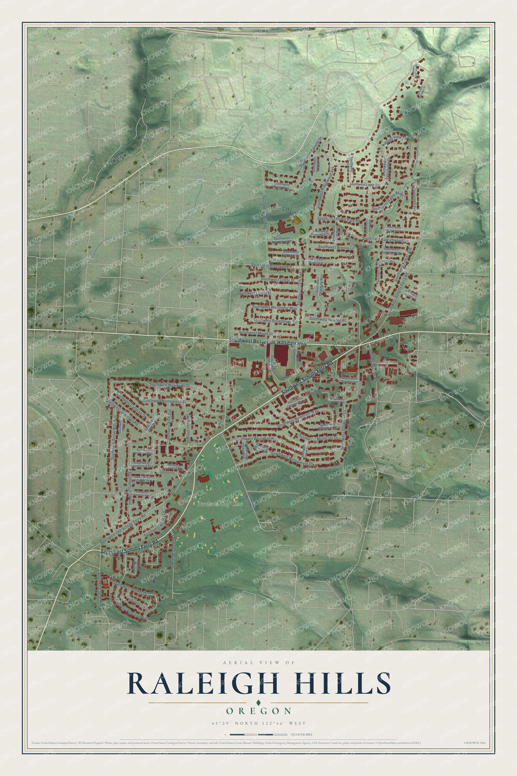
This beautifully detailed map of Raleigh Hills, Oregon was created in 2026 using aerial imagery combined with modern topographical, census, street and landmark data. It's a modern aerial view of Raleigh Hills in Washington County, Oregon, that combines modern data with a vintage aesthetic. The roads feature printed names, and if you look closely you can find your exact house accurately shown in its correct location.
Explore an aerial view of Raleigh Hills, Oregon
On this map you'll find Portland Golf Club, Southwest Scholls Ferry Road, Southwest Beaverton-Hillsdale Highway, Southwest Canyon Drive, Southwest 78th Avenue, Southwest Dogwood Lane, Southwest 90th Avenue, Southwest Gable Parkway, Southwest Ridgewood Avenue, Southwest Arrow Wood Lane, Southwest Old Scholls Ferry Road, Southwest Westgate Way, and more. Each red shape is a building, so zoom in on the preview and look for yours.
Raleigh Hills has a story worth telling. The National Park Service puts it this way: "The Michos Estate exemplifies Estate development as it occurred in the 1930s and is one of few to have survived the rapid expansion of the Beaverton and Raleigh Hills area."
Raleigh Hills is a community in Washington County.
Take a closer look at the Raleigh Hills map
Names on this map
These names are printed on this map.
Places: Portland Golf Club.
Streets and roads: Southwest Scholls Ferry Road, Southwest Beaverton-Hillsdale Highway, Southwest Canyon Drive, Southwest 78th Avenue, Southwest Dogwood Lane, Southwest 90th Avenue, Southwest Gable Parkway, Southwest Ridgewood Avenue, Southwest Arrow Wood Lane, Southwest Old Scholls Ferry Road, Southwest Westgate Way, Southwest Woodside Drive.
More street names, A to Z
Raleigh View Drive, Southwest 66th Avenue, Southwest 70th Avenue, Southwest 72nd Avenue, Southwest 73rd Avenue, Southwest 75th Avenue, Southwest 76th Avenue, Southwest 77th Avenue, Southwest 85th Avenue, Southwest 86th Avenue, Southwest 87th Avenue, Southwest 88th Avenue, Southwest 89th Place, Southwest 90th Court, Southwest 92nd Avenue, Southwest Bancroft Way, Southwest Becker Drive, Southwest Benz Farm Court, Southwest Bohmann Parkway, Southwest Brenne Lane, Southwest Brentwood Street, Southwest Broadmoor Terrace, Southwest Bucharest Court, Southwest Caroline Drive, Southwest Cedar Street, Southwest Charming Way, Southwest Clear Hills Drive, Southwest Dogwood Place, Southwest Fairmoor Street, Southwest Fraser Avenue, Southwest Gable Park Road, Southwest Grace Lane, Southwest Hazelvern Way, Southwest Hillview Terrace, Southwest Homewood Street, Southwest Jamieson Road, Southwest Laber Road, Southwest Laurel Leaf Lane, Southwest Laurel Leaf Terrace, Southwest Laurel Street, Southwest Maple Drive, Southwest Mayfield Place, Southwest Merridell Court, Southwest Miner Way, Southwest Montclair Drive, Southwest Newton Place, Southwest Nicol Road, Southwest Northshire Street, Southwest Northvale Way, Southwest Oak Lane, Southwest Oleson Road, Southwest Oxford Avenue, Southwest Pineridge Court, Southwest Preslynn Drive, Southwest Raleighview Drive, Southwest Raleighwood Lane, Southwest Raleighwood Way, Southwest Richey Lane, Southwest Ridgemont Street, Southwest Rosewood Way, Southwest Seymour Street, Southwest Sharon Lane, Southwest Stephen Lane, Southwest Westmoor Way, Southwest Willowmere Drive.
Created by KNOWOL in 2026. The buildings are small red shapes, the roads carry their printed names, and shaded relief shows the shape of the land. The title panel reads "AERIAL VIEW OF RALEIGH HILLS OREGON" with 45°29' NORTH 122°46' WEST.
It looks right in a kitchen, an office or a den, and it's a gift for anyone who grew up in Raleigh Hills or moved away. Open the preview and find your street. See sizes and frames for the Raleigh Hills map.