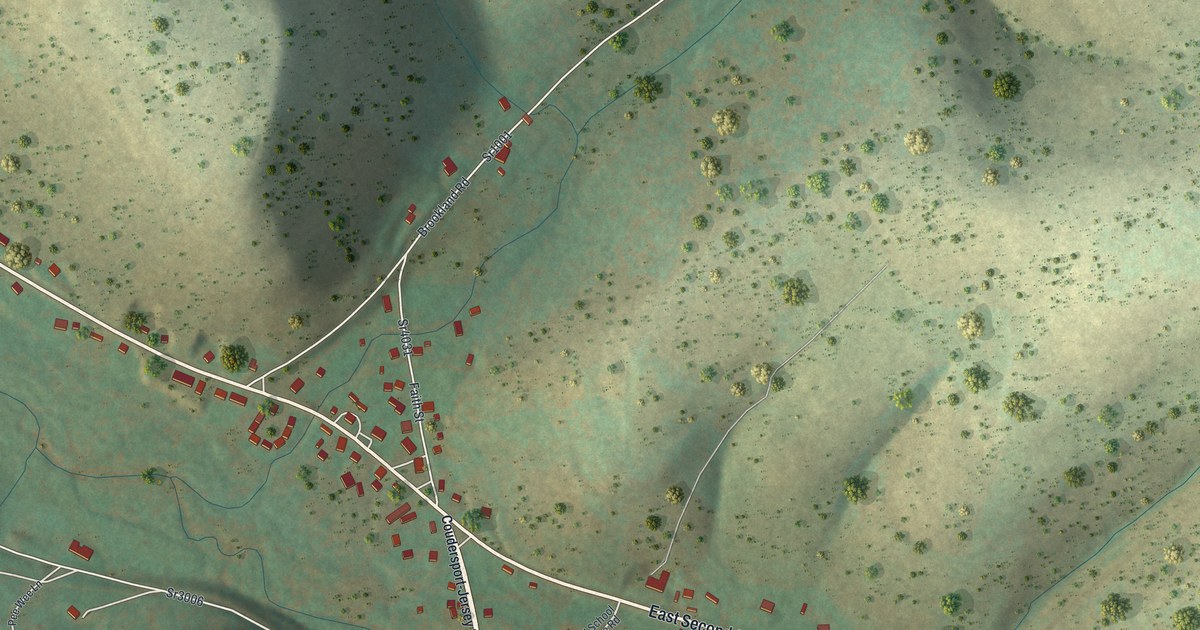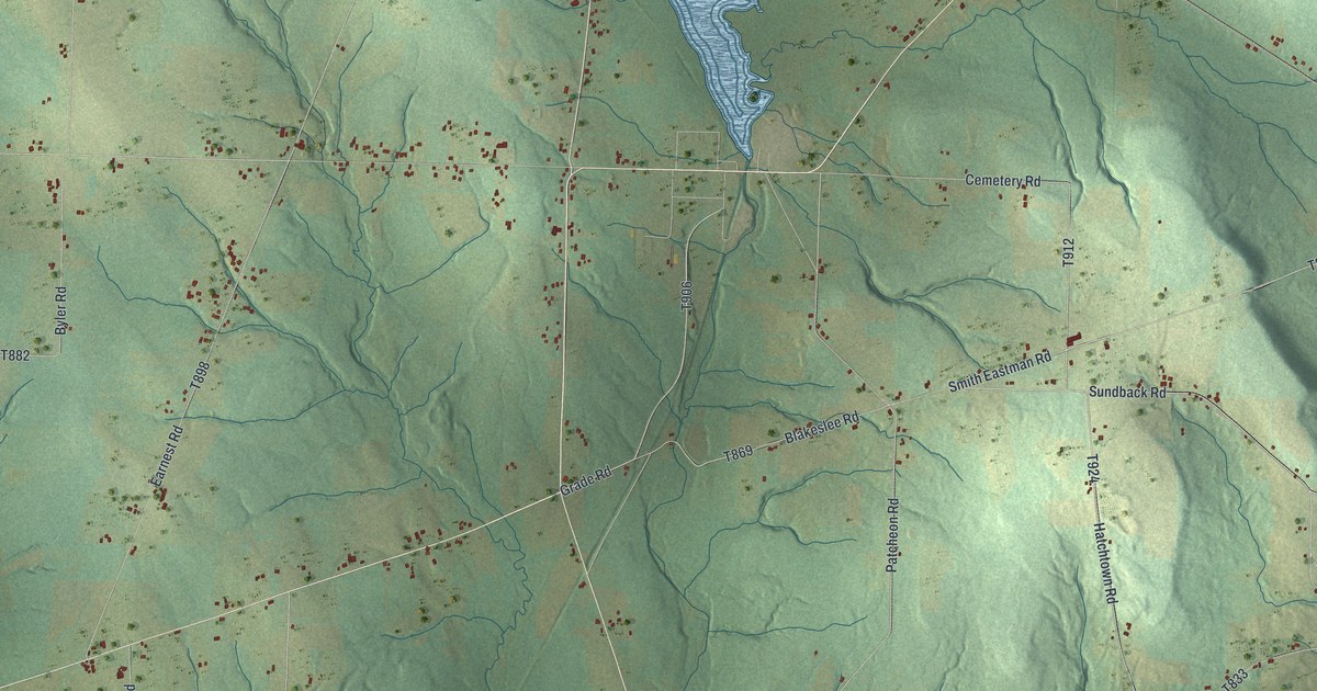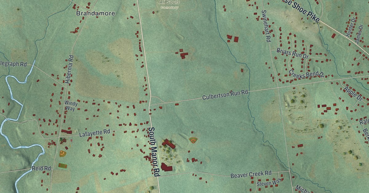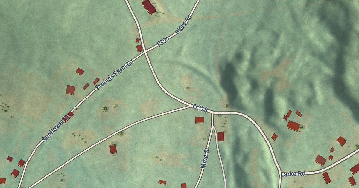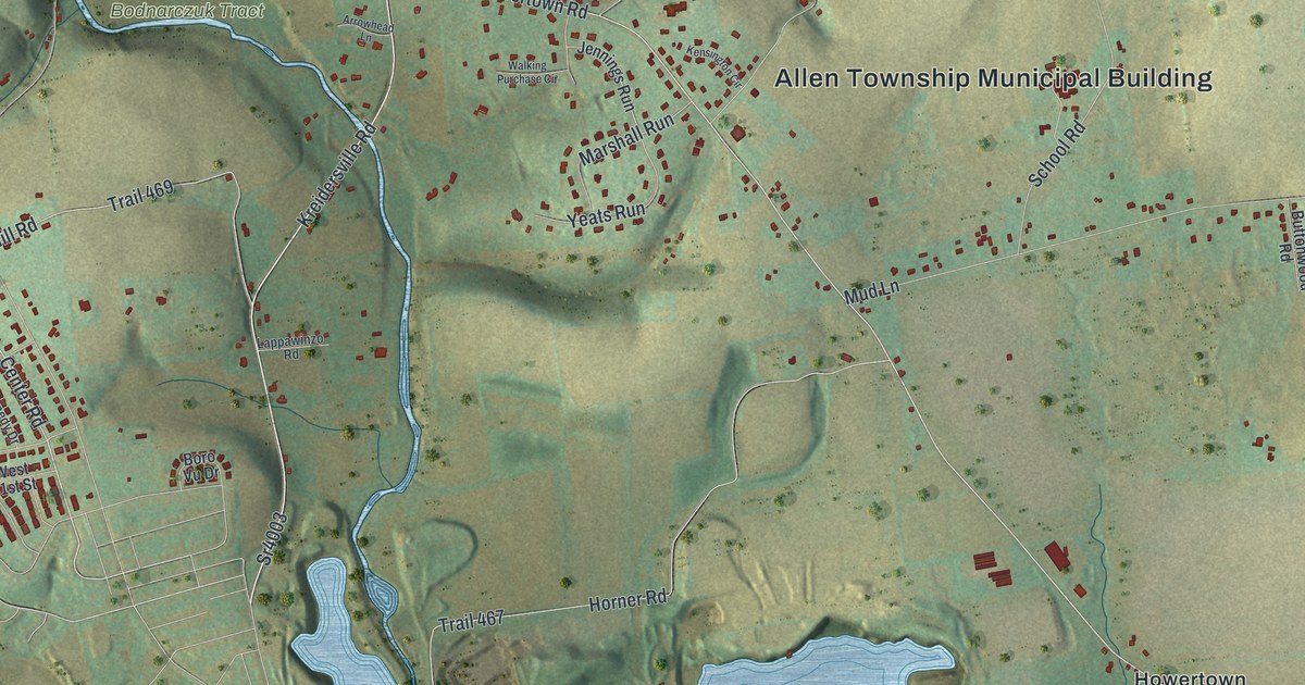
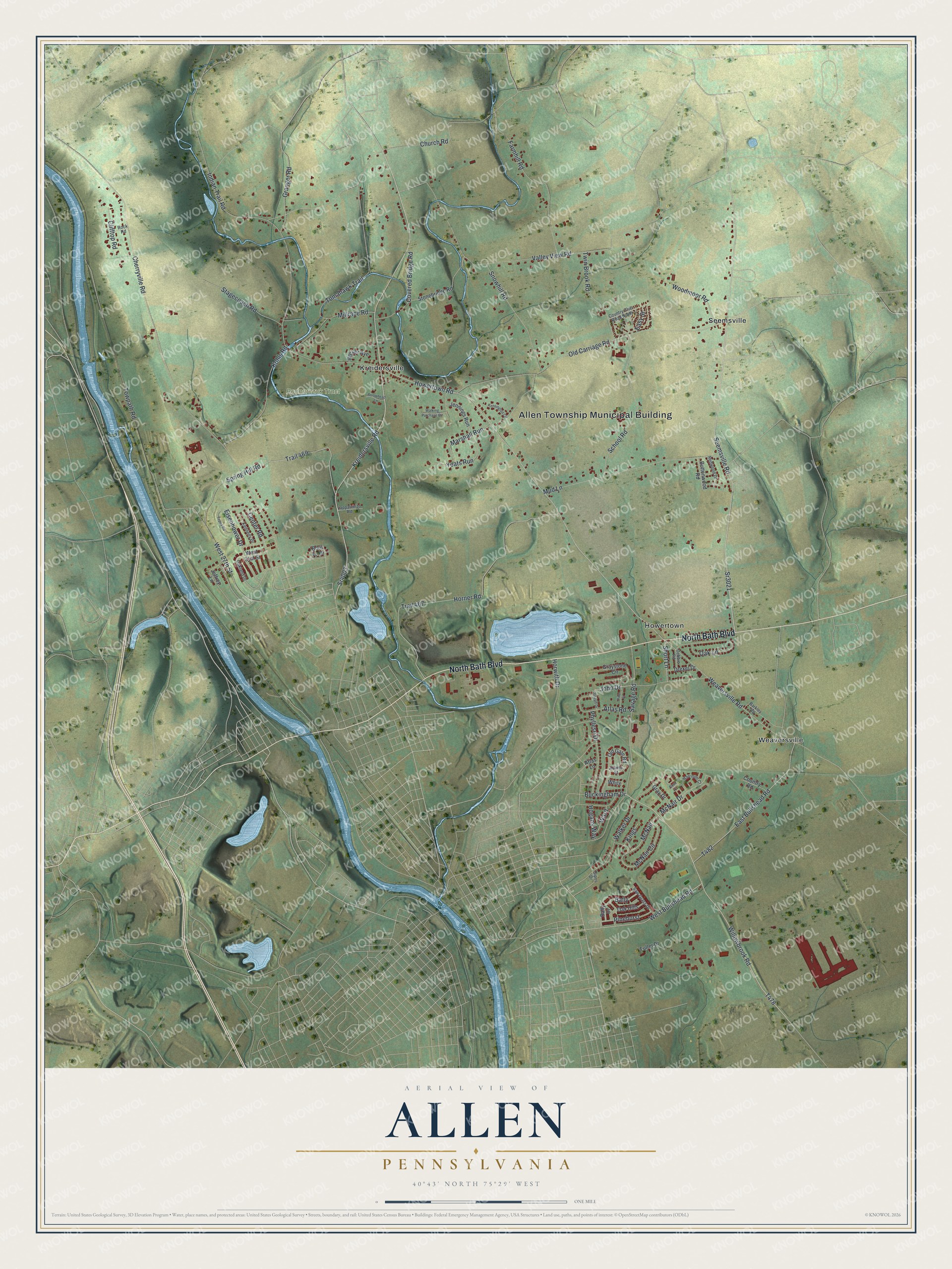
This beautifully detailed map of Allen, Pennsylvania was created in 2026 using aerial imagery combined with modern topographical, census, street and landmark data. It’s a one-of-a-kind view of Allen that combines accurate data with a vintage aesthetic. The map shows every building in its true location, many of the roads carry their names, and the shaded topographic relief shows the shape of the land.
Explore an aerial view of Allen, Pennsylvania
On the map you’ll find Allen Township Municipal Building, Bodnarczuk Tract, Howertown, Kreidersville, Seemsville, and Weaversville, along with North Bath Boulevard, Kreidersville Road, Howertown Road, Center Road, and more. If you look closely you can even find your house accurately drawn in its correct location. Zoom in on the preview to look for yours.
Did you know this piece of Allen, Pennsylvania history?
From Allen Township: "Thirty-seven signers, mostly Scotch-Irish, formed a petition to the Court of Quarter Sessions in Newtown, Bucks County, in June 1748, for the creation of a township. The present metes and bounds were established and finally coordinated in 1752 and 1845, respectively."
Take a closer look at the Allen map
Street and place names on the Allen, Pennsylvania map
These names are printed on the map of Allen, Pennsylvania.
Places: Allen Township Municipal Building, Bodnarczuk Tract, Howertown, Kreidersville, Seemsville and Weaversville.
Streets and roads: North Bath Boulevard, Kreidersville Road, Sr4003, Sr3021, Howertown Road, Center Road, Seemsville Road, West Bullshead Road, Willowbrook Road, McNair Drive, John Drive, Cherryville Road.
More street names, A to Z
Adams Street, Arrowhead Lane, Atlas Lane, Atlas Road, Bally, Bally Drive, Barkley Road, Becker Avenue, Boro Vu Drive, Buckingham Drive, Buttonwood Road, Church Road, Clifftop Road, Country Club Road North, Country Road, Covered Bridge Road, Debbie Road, Drexel Drive, East Bullshead Road, Easy Street, Eisenhower Drive, Farmhill Road, Fuller Drive, Granger Road, Gray Drive, Graystone Circle, Harrison Court, Hogans Way, Horner Road, Horwith Drive, Indian Trail Road, Jeffrey Lane, Jennings Run, Joseph Drive, Kennedy Drive, Kensington Circle, Kings, Kohls Road, Lappawinzo Road, Marshall Run, McNair, McNair Circle, Millrace Road, Mud Lane, Oak Hills, Oakland Drive, Oak Lane, Old Carriage Road, Old Gate Road, Phyllese Drive, Pinehurst, Pine Street, Redwood Drive, Rock Road, Rush Court, Savage Road, Saw Grass Drive, School Road, Short Lane, Sipos Drive, Snowhill Road, Spring Hill Road, Stagecoach Road, Stonebridge Road, Tepes Road, Tomahawk Trail, Towpath Road, Trail 467, Trail 469, Twin Brook Road, Valley View Road, Walker Drive, Walking Purchase Circle, Ward, Weaversville Road, West 27th Street, West 31st Street, White, Woodmoor Road, Yeats Run.
See the Allen, Pennsylvania map on a wall
The Allen map as an 18 x 24 inch print in a black frame.

This beautifully detailed map of Allen makes an attractive addition to your office, library, or den, and it can even be used to teach children the geography and history of the area. It also makes a great gift for anyone who grew up in Allen or moved away. When you’re done exploring, click here to get your copy of the Allen map.