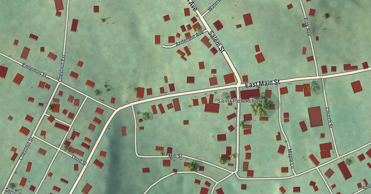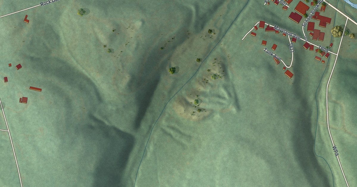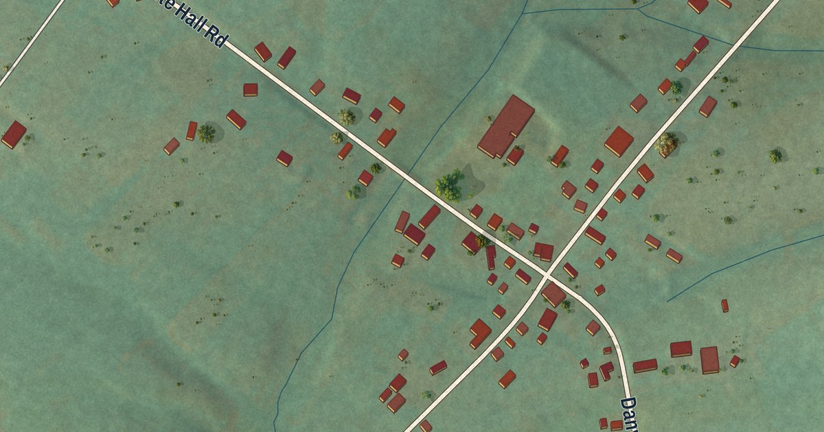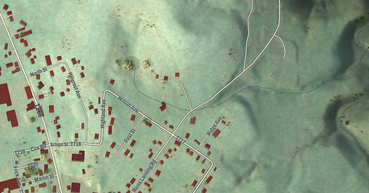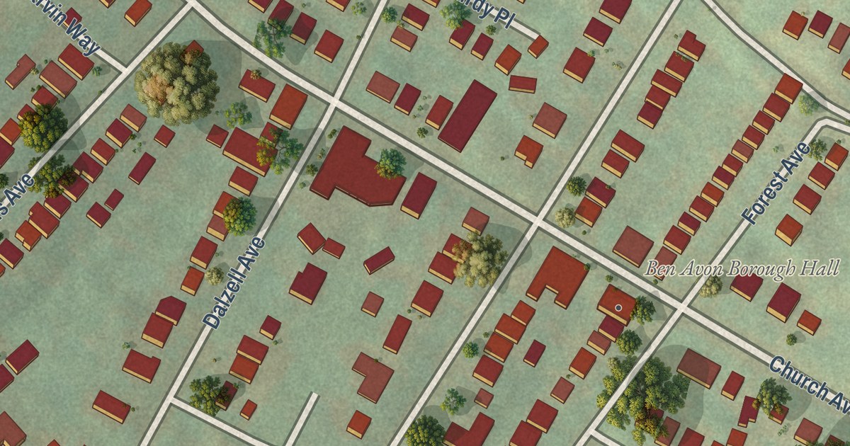
This beautifully detailed map of Ben Avon, Pennsylvania was created in 2026 using aerial imagery combined with modern topographical, census, street and landmark data. It’s a one-of-a-kind view of Ben Avon that combines accurate data with a vintage aesthetic. The map shows every building in its true location, many of the roads carry their names, and the shaded topographic relief shows the shape of the land.
Explore an aerial view of Ben Avon, Pennsylvania
On the map you’ll find Ben Avon Borough Hall, along with Ohio River Boulevard, Church Avenue, Brighton Road, Perrysville Avenue, Dickson Avenue, Forest Avenue, Ridge Avenue, Spruce Run Road, Breading Avenue, Dalzell Avenue, Merton Road, and more. If you look closely you can even find your house accurately drawn in its correct location. Zoom in on the preview to look for yours.
Did you know this piece of Ben Avon, Pennsylvania history?
The name Ben Avon comes from Scottish words meaning hill by the waters. An Allegheny City merchant built the Arthurs-Johnson House, one of the area’s first homes, as a summer retreat where the Ohio River bends. A commuter railroad followed, and wealthy merchants and executives moved in.
Take a closer look at the Ben Avon map
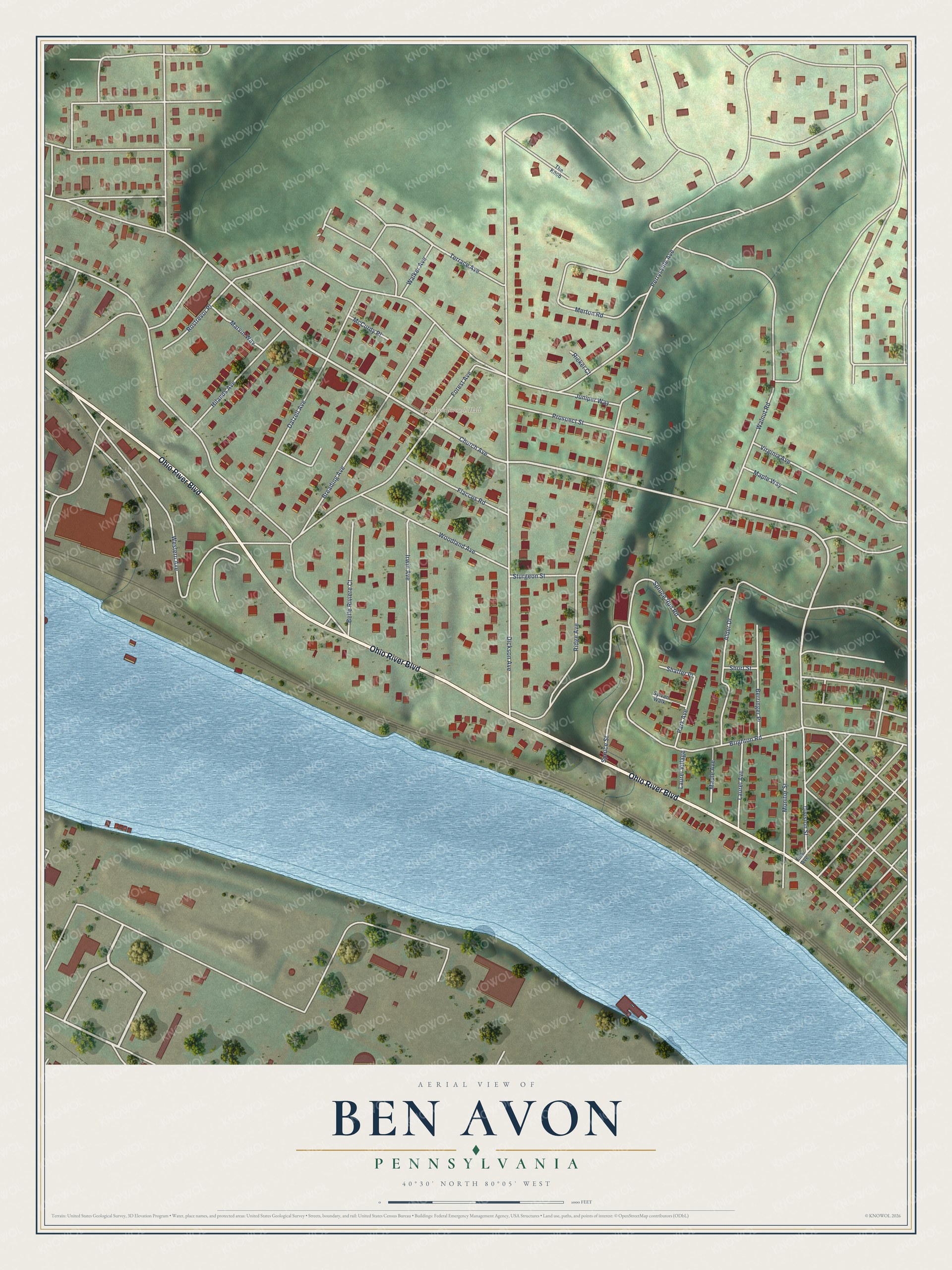
Street and place names on the Ben Avon, Pennsylvania map
These names are printed on the map of Ben Avon, Pennsylvania.
Places: Ben Avon Borough Hall.
Streets and roads: Ohio River Boulevard, Church Avenue, Brighton Road, Perrysville Avenue, Dickson Avenue, Forest Avenue, Ridge Avenue, Spruce Run Road, Breading Avenue, Dalzell Avenue, Merton Road, Division Street.
More street names, A to Z
Alder Drive, Belle Riviere Court, Berringer Place, Fisk Avenue, Flaccus Road, Hilands Avenue, Irwin Avenue, Juniper Way, Laurel Avenue, Laurel Village, Maple Avenue, Maple Way, Marvin Way, McCurdy Place, Monitor Street, Park Avenue, Prospect Street, Ricker Court, Rostrevor Place, Shaffer Place, Short Street, Spruce Street, Sturgeon Street, Sylvan Walk, Terrace Avenue, The Knob, Virginia Avenue, Walker Avenue, Walnut Road, Western Avenue, Woodland Avenue.
See the Ben Avon, Pennsylvania map on a wall
The Ben Avon map as an 18 x 24 inch print in a black frame.

This beautifully detailed map of Ben Avon makes an attractive addition to your office, library, or den, and it can even be used to teach children the geography and history of the area. It also makes a great gift for someone who left Ben Avon and still calls it home. When you’re done exploring, click here to get your copy of the Ben Avon map.