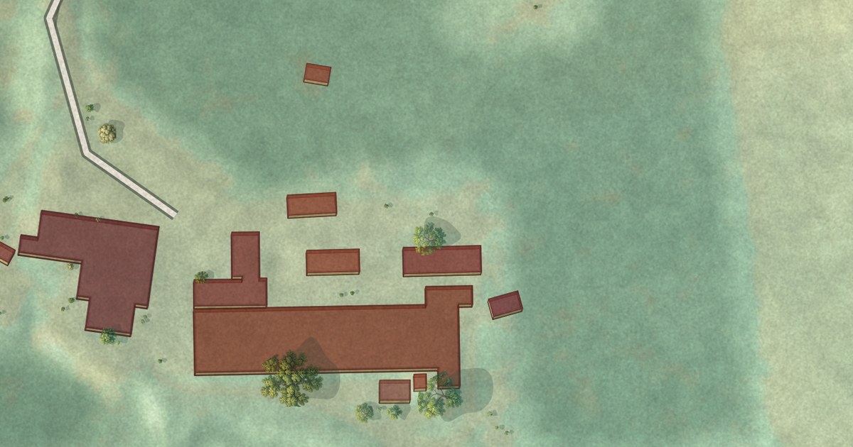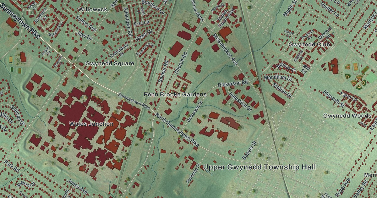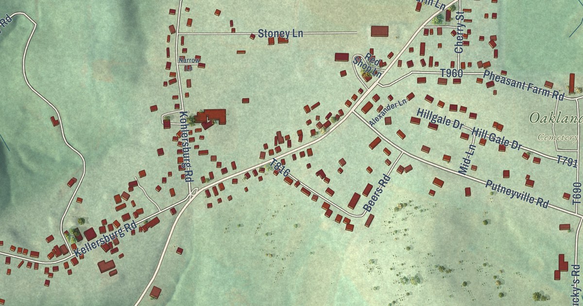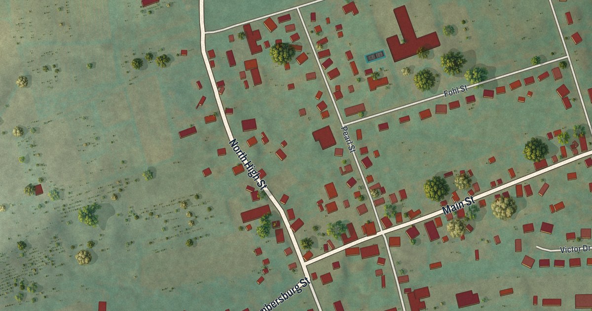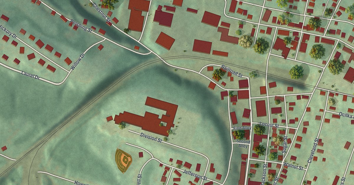
This beautifully detailed map of Gallitzin Borough, Pennsylvania was created in 2026 using aerial imagery combined with modern topographical, census, street and landmark data. It’s a one-of-a-kind view of Gallitzin Borough that combines accurate data with a vintage aesthetic. The map shows every building in its true location, many of the roads carry their names, and the shaded topographic relief shows the shape of the land.
Explore an aerial view of Gallitzin Borough, Pennsylvania
On the map you’ll find South Main Street, Main Street, Laurel Drive, Forest Street, Saint Thomas Street, Chestnut Street, Pershing Street, Howell Street, Grant Street, Church Street, Convent Street, and more. If you look closely you can even find your house accurately drawn in its correct location. Zoom in on the preview to look for yours.
Did you know this piece of Gallitzin Borough, Pennsylvania history?
From the Pennsylvania Historical and Museum Commission: "In 1894, the Pa. Supreme Court ruled that the Catholic Sisters of St. Joseph were permitted to wear religious attire while teaching in Gallitzin public schools. In response, the Pa. legislature passed the 1895 Garb Act, forbidding public school teachers from wearing religious clothing or insignia. In the years since, state and federal courts have sought to balance the right to religious expression with the principles of secular public education."
Take a closer look at the Gallitzin Borough map
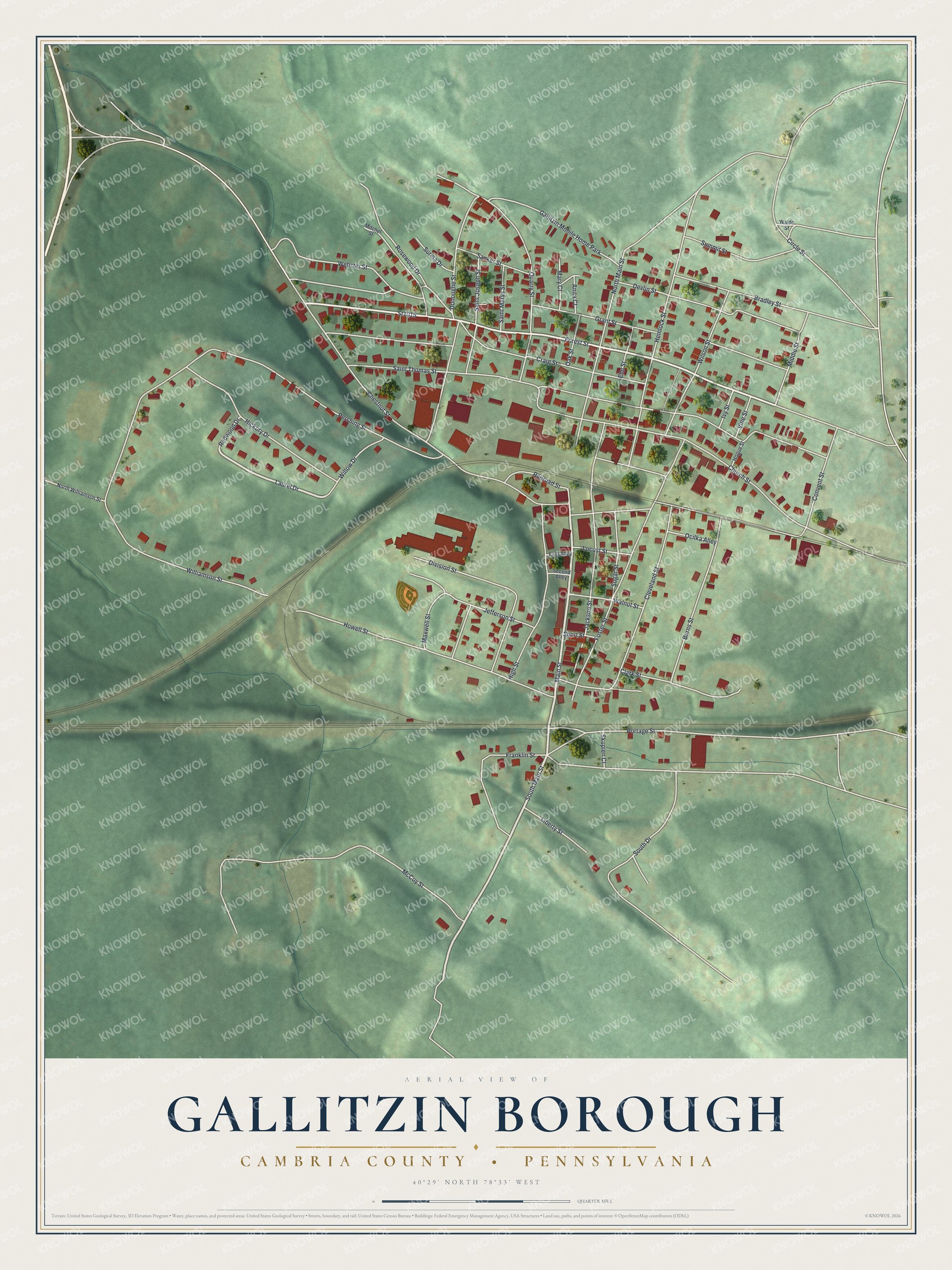
Street and place names on the Gallitzin Borough, Pennsylvania map
These names are printed on the map of Gallitzin Borough, Pennsylvania.
Places: Gallitzin Mobile Home Park.
Streets and roads: South Main Street, Main Street, Sr1015, Laurel Drive, Forest Street, Saint Thomas Street, Chestnut Street, Pershing Street, Howell Street, Grant Street, Church Street, Convent Street.
More street names, A to Z
Anita Court, Bradley Street, Burns Street, Circle Street, Clark Street, Cleveland Street, Craig Street, Devlin Street, Division Street, Donoughe Street, Elm Street, First Alley, Foster Street, Franklin Street, Hemlock Street, Hickory Drive, High Street, Hogue Street, Ivy Street, Jackson Street, Jefferson Street, Liberty Street, Locust Street, Mary Court, Maxwell Street, McCoy Street, Middle Street, Mitchel Street, North Main Street, North Williamson Street, Oak Street, Ocilka Alley, Portage Street, Quarry Street, Railroad Street, Redwood Drive, Rosewood Drive, Saint Joseph Street, Saint Marys Street, Sanker Street, Second Alley, Short Street, Skupien Court, South Drive, Sugar Street, Summit Street, Surma Drive, Vine Street, Waldo Street, Walnut Street, Webster Street, Williamson Street, Willow Drive, Wilson Street.
See the Gallitzin Borough, Pennsylvania map on a wall
The Gallitzin Borough, Cambria County map as an 18 x 24 inch print in a black frame.

This beautifully detailed map of Borough of Gallitzin, Cambria County makes an attractive addition to your office, library, or den, and it can even be used to teach children the geography and history of the area. It also makes a great gift for anyone with Gallitzin Borough roots. When you’re done exploring, click here to get your copy of the Borough of Gallitzin, Cambria County map.