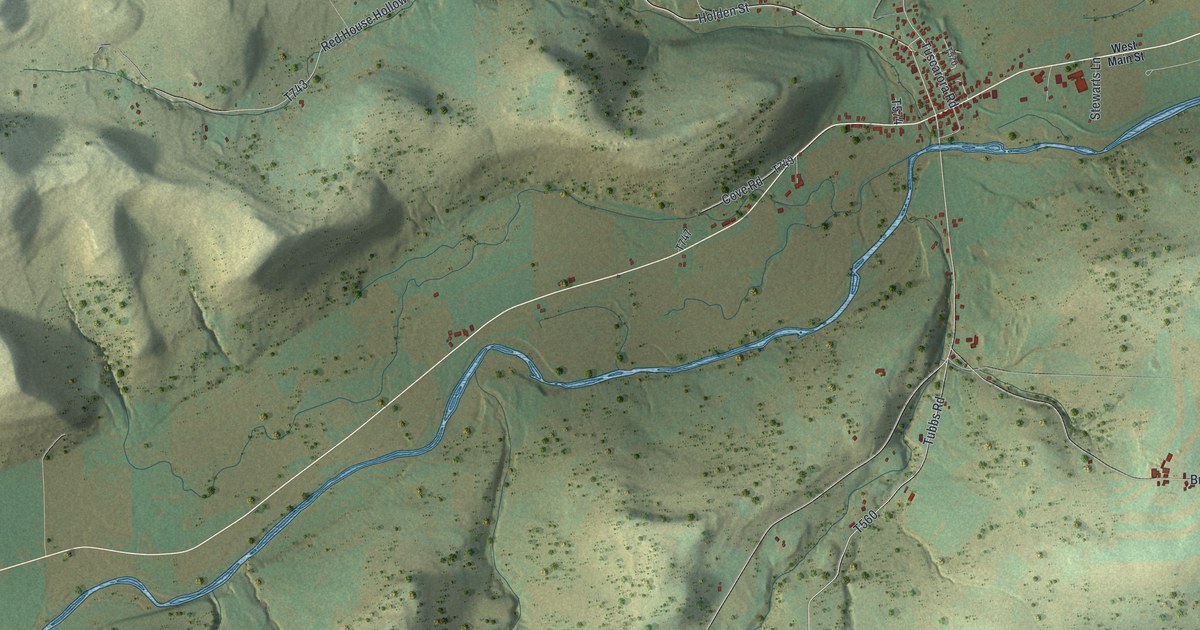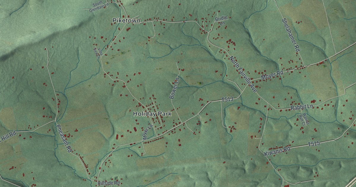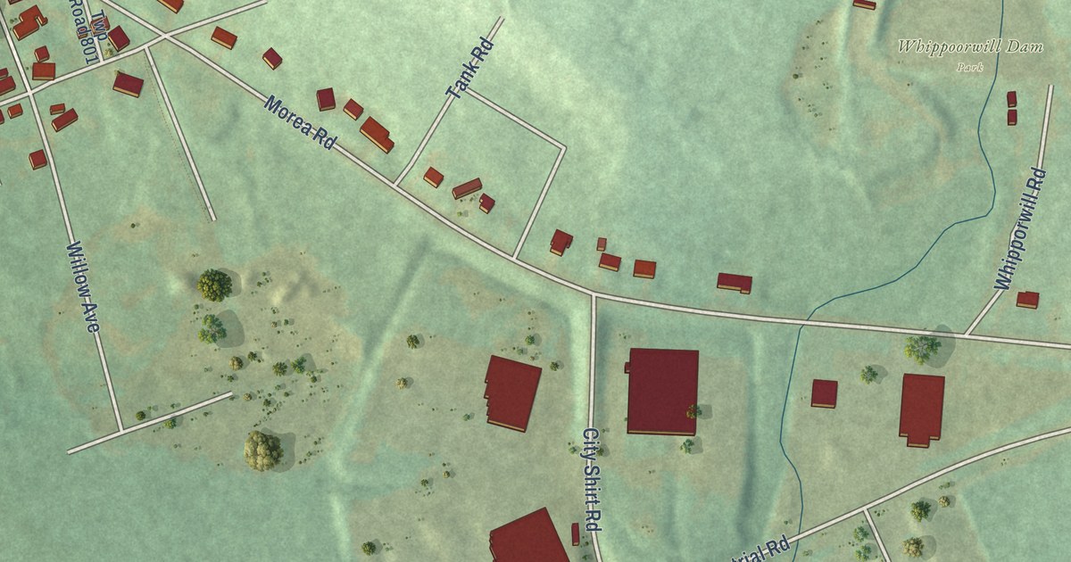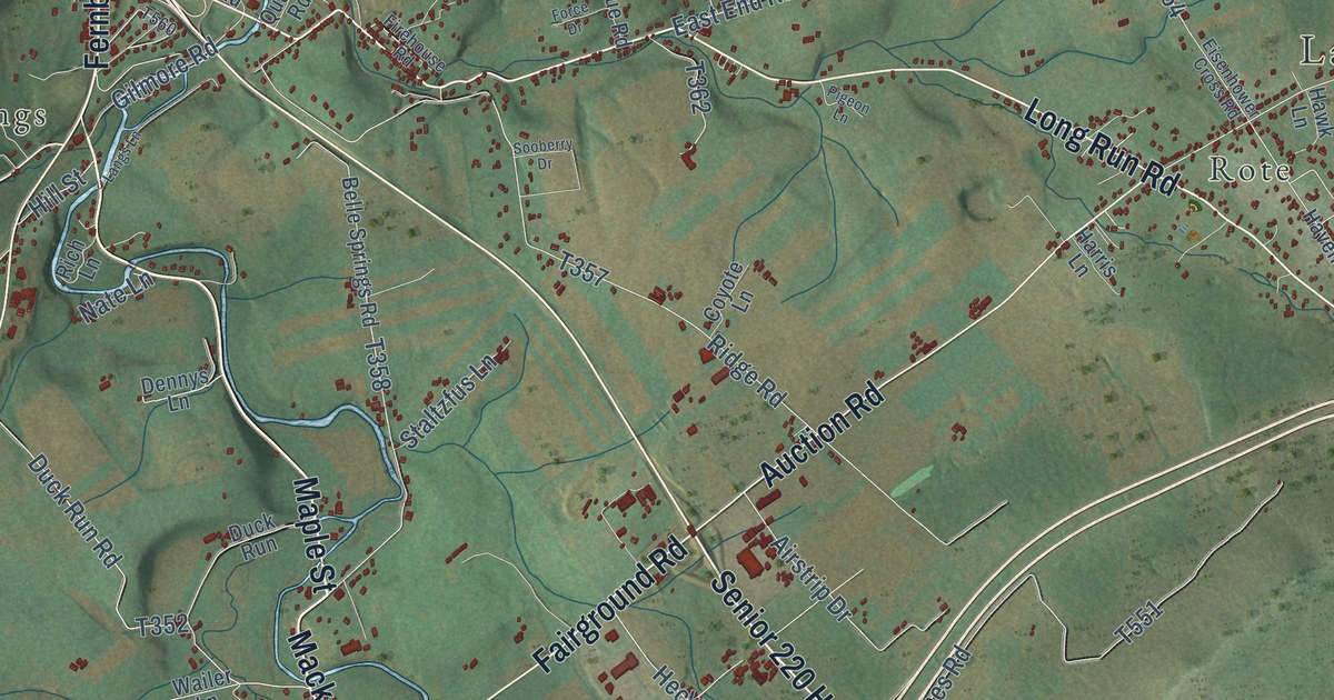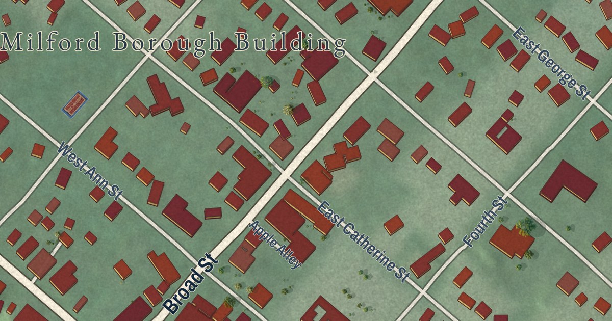
This beautifully detailed map of Milford Borough, Pike County, Pennsylvania was created in 2026 using aerial imagery combined with modern topographical, census, street and landmark data. It’s a one-of-a-kind view of Milford Borough that combines accurate data with a vintage aesthetic. The map shows every building in its true location, many of the roads carry their names, and the shaded topographic relief shows the shape of the land.
Explore an aerial view of Milford Borough, Pike County, Pennsylvania
On the map you’ll find Milford Borough Building and West Ann Memorial Park, along with West Harford Street, Broad Street, East Harford Street, Seventh Street, Mill Street, Sixth Street, Old Bridge Road, West George Street, Fifth Street, and more. If you look closely you can even find your house accurately drawn in its correct location. Zoom in on the preview to look for yours.
Did you know this piece of Milford Borough, Pike County, Pennsylvania history?
From the Pennsylvania Historical and Museum Commission: "First established in 1852 as a summer hotel, its restaurant received widespread recognition for innovative French cuisine under the management of Louis Fauchere, master chef at New York City's famed Delmonico's Restaurant. He introduced fine ingredients, progressive recipes, and the concept of the menu. Guests have included American presidents and Pennsylvania governors, as well as celebrated artists, writers, and performers."
Take a closer look at the Milford Borough, Pike County map
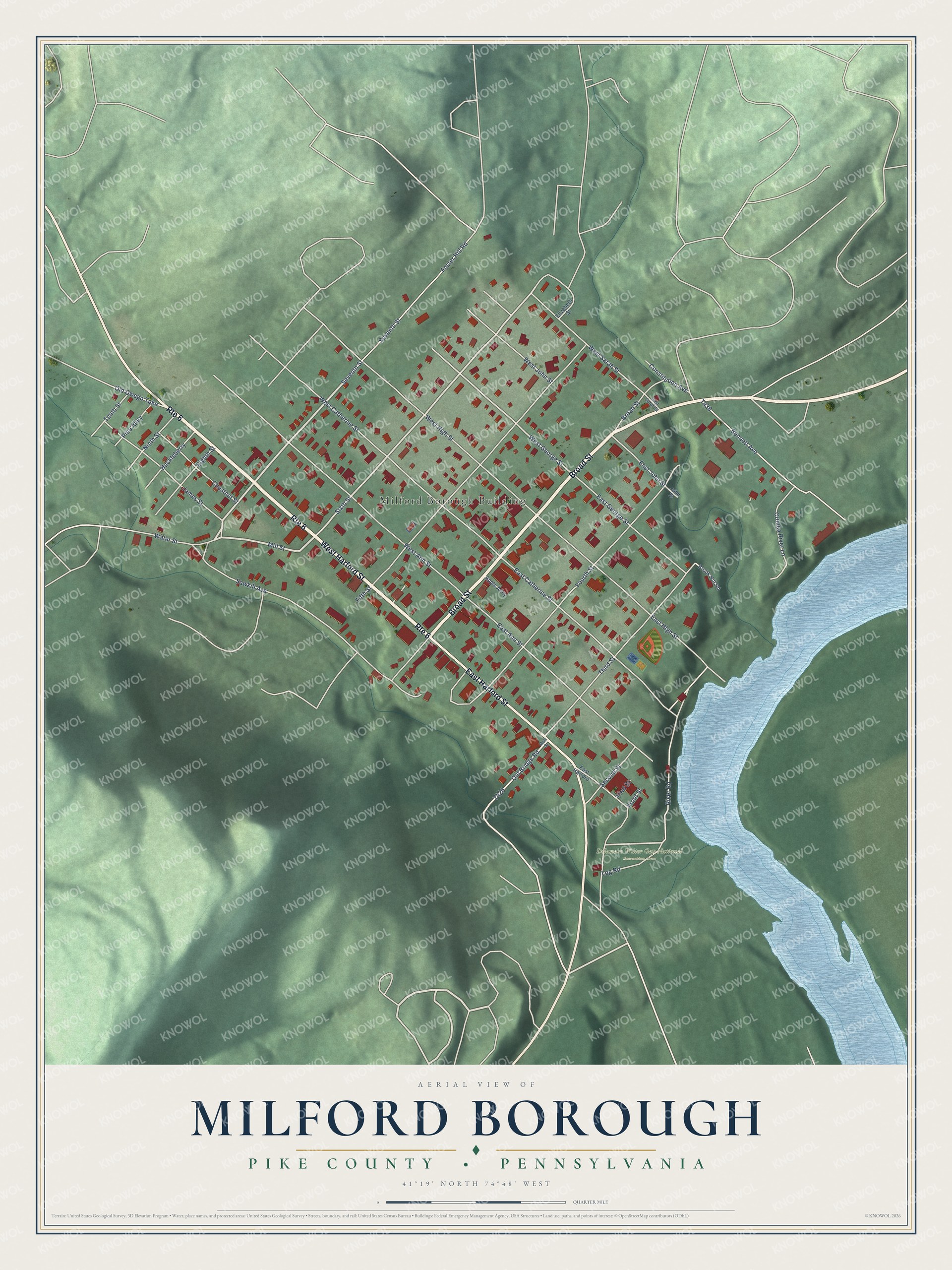
Street and place names on the Milford Borough, Pike County, Pennsylvania map
These names are printed on the map of Milford Borough, Pike County, Pennsylvania.
Places: Milford Borough Building and Delaware Water Gap National Recreation Area.
Streets and roads: West Harford Street, Broad Street, Route 6, East Harford Street, Seventh Street, Mill Street, Sixth Street, Old Bridge Road, West George Street, Fifth Street, Sawkill Avenue, Fourth Street.
More street names, A to Z
Apple Alley, Bennett Avenue, Brook Hill Road, Chestnut Street, Constitution Avenue, Crimea River Lane, East Ann Street, East Catherine Street, East George Street, East Harford, East High Street, East John Street, East Sarah Street, Eighth Street, Elizabeth Street, First Street, Foster Hill Road, Front Street, Huckleberry, James Street, John Street, Log Road, Mott Street, Ninth Street, Old Owego Turnpike, Pine Alley, River Road, Second Street, Tenth Street, Third Street, Water Street, West Ann Street, West Catherine Street, West High Street, West John Street, West Sarah Street.
See the Milford Borough, Pike County, Pennsylvania map on a wall
The Milford Borough, Pike County map as an 18 x 24 inch print in a black frame.

This beautifully detailed map of Borough of Milford, Pike County makes an attractive addition to your office, library, or den, and it can even be used to teach children the geography and history of the area. It also makes a great gift for anyone who grew up in Milford Borough or moved away. When you’re done exploring, click here to get your copy of the Borough of Milford, Pike County map.