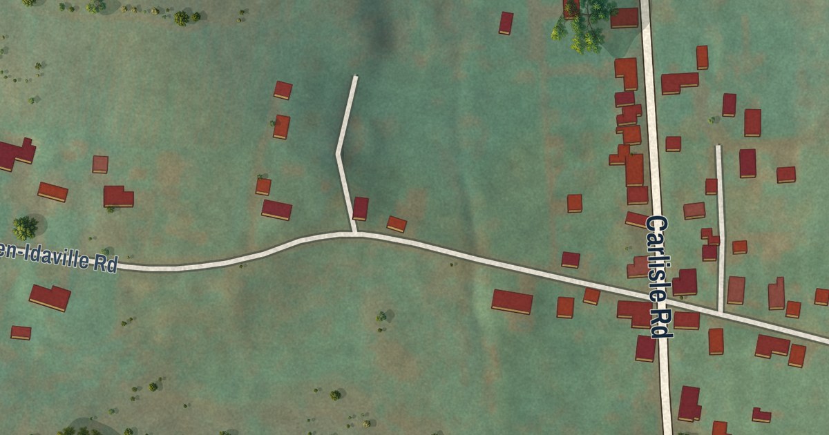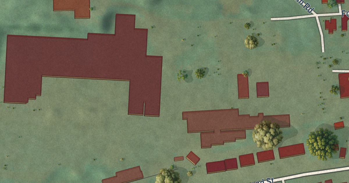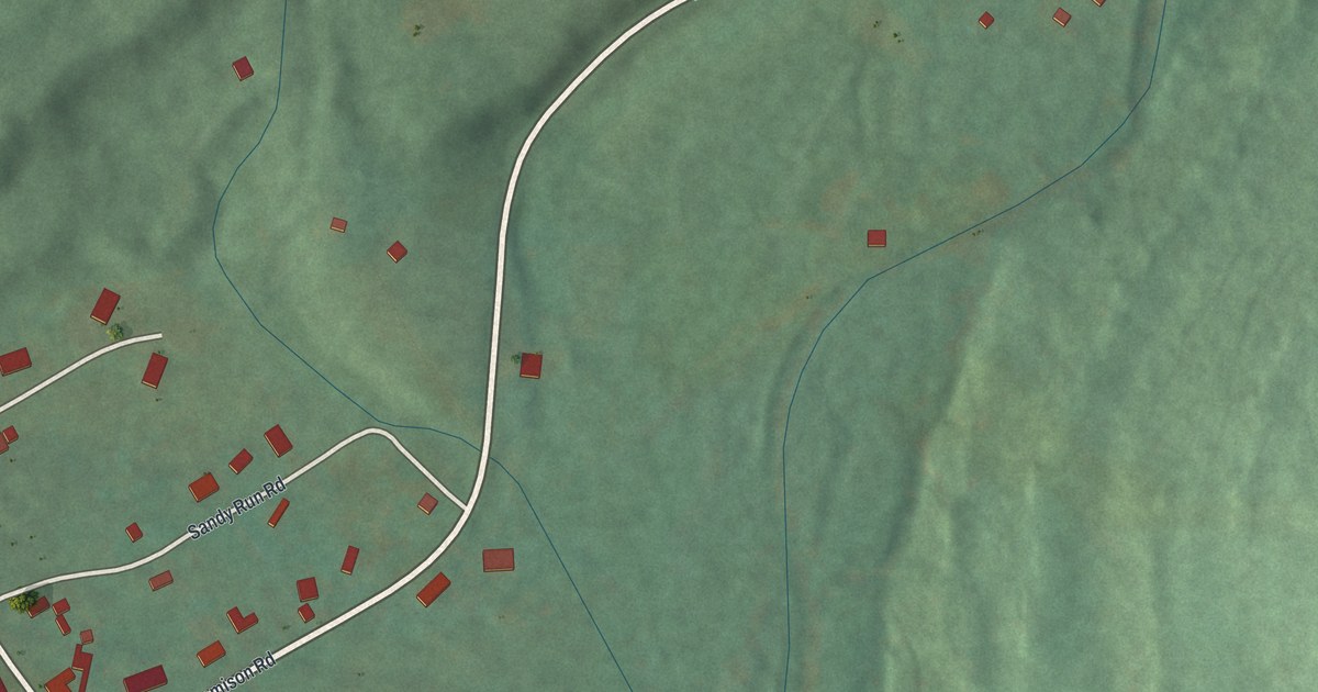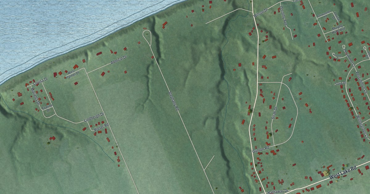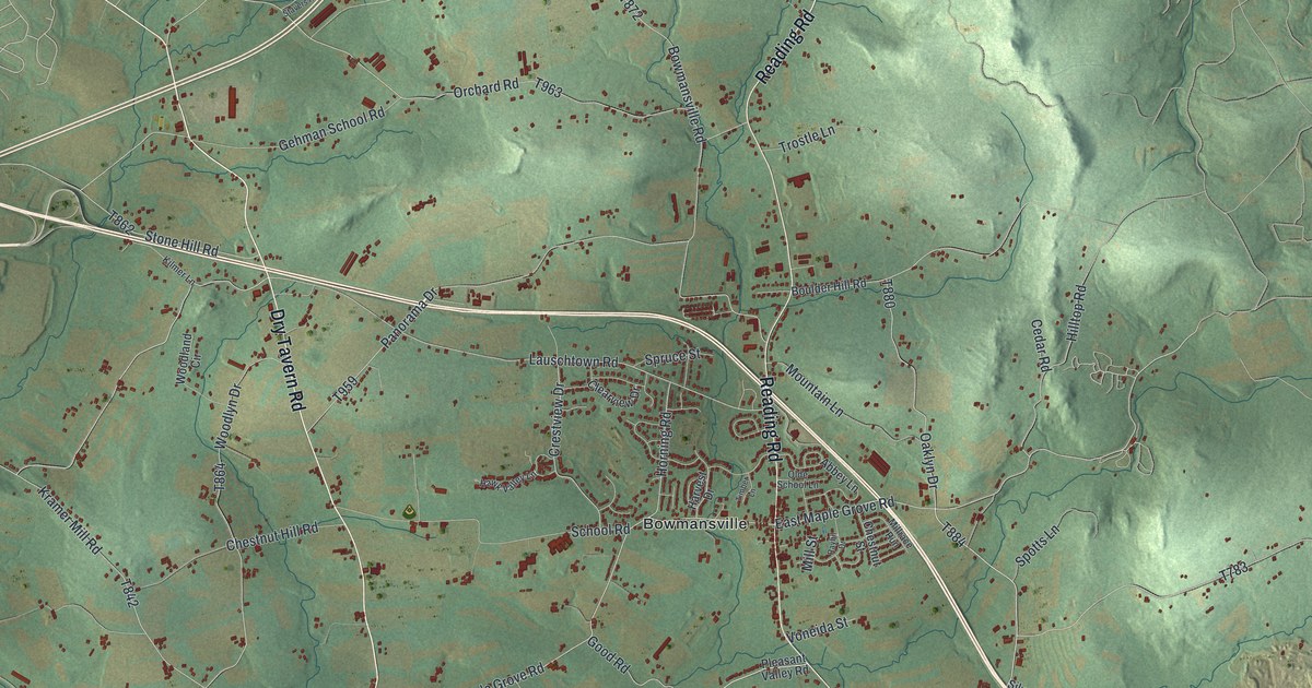
This beautifully detailed map of Brecknock, Lancaster County, Pennsylvania was created in 2026 using aerial imagery combined with modern topographical, census, street and landmark data. It’s a one-of-a-kind view of Brecknock that combines accurate data with a vintage aesthetic. The map shows every building in its true location, many of the roads carry their names, and the shaded topographic relief shows the shape of the land.
Explore an aerial view of Brecknock, Lancaster County, Pennsylvania
On the map you’ll find Red Run, Brubaker Park, State Game Lands Number 52, Bowmansville, and Fivepointville, along with Dry Tavern Road, Reading Road, East Maple Grove Road, West Maple Grove Road, Pieffer Hill Road, and more. If you look closely you can even find your house accurately drawn in its correct location. Zoom in on the preview to look for yours.
Did you know this piece of Brecknock, Lancaster County, Pennsylvania history?
From the 1883 History of Lancaster County, Pennsylvania: "The name Brecknock, as well as that of the adjoining township of Caernarvon, is of Welsh origin. There were early settlers, immigrants from Wales, who sought and found homes along the head-waters of the Conestoga. It was but natural for them to transplant names familiar and dear to them in the old country to their new homes on this side of the ocean."
Take a closer look at the Brecknock, Lancaster County map
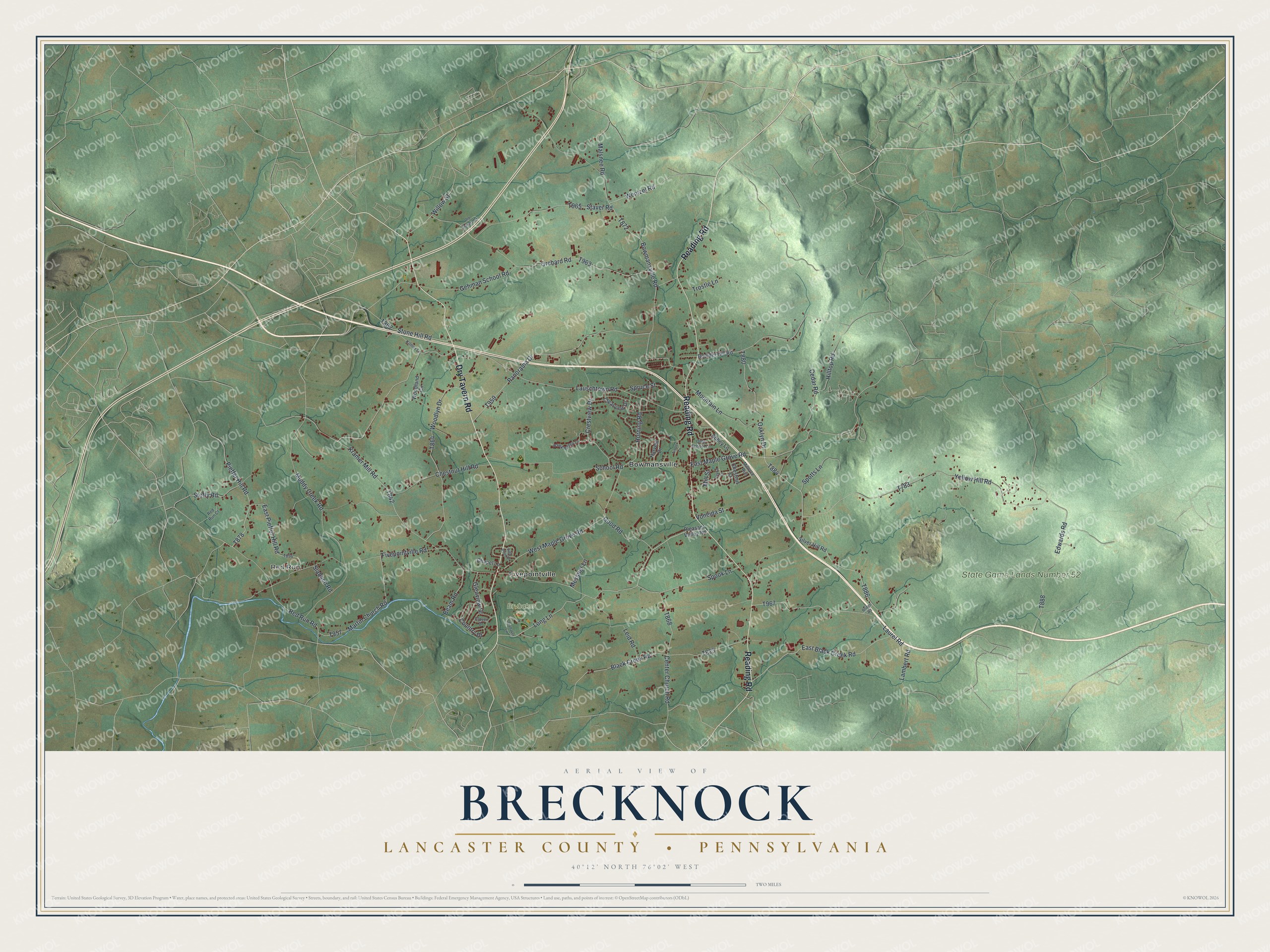
Street and place names on the Brecknock, Lancaster County, Pennsylvania map
These names are printed on the map of Brecknock, Lancaster County, Pennsylvania.
Places: Red Run, Brubaker Park, State Game Lands Number 52, Bowmansville and Fivepointville.
Streets and roads: Dry Tavern Road, Reading Road, East Maple Grove Road, West Maple Grove Road, Pieffer Hill Road, Wentzel Road, Lauschtown Road, Red Run Road, Bowmansville Road, Fivepointville Road, Oaklyn Drive, Yellow Hill Road.
More street names, A to Z
Abbey Lane, Beam Road, Black Creek Road, Boulder Hill Road, Bridge Road, Brubaker Lane, Cedar Road, Center Church Road, Chapel Lane, Chestnut Hill Road, Chestnut Street, Clearview Drive, Clover Drive, Country Drive, Crestview Drive, East Black Creek Road, East Pieffer Hill Road, Edwards Road, Gehman School Road, Glenview Drive, Good Road, Harvest Drive, Hawk Valley Lane, High Point Drive, Hilltop Road, Horning Road, Kilmer Lane, Kramer Mill Road, Lambert Road, Laurel Road, Leid Road, Long Lane, Malsnee Road, Martin Church Road, Messner Lane, Millrace Run, Mill Street, Mountain Lane, Muddy Creek Road, Olde School Lane, Old Stavers Road, Orchard Road, Panorama Drive, Pleasant Valley Road, Raybil Drive, Red Run Court, School Road, Silver Hill Road, Slabach Road, Spook Lane, Spotts Lane, Spruce Street, Staver Road, Steffy Road, Stone Hill Road, Timber Lane, Trostle Lane, Voneida Street, Willow Street, Woodland Circle, Woodlyn Drive.
See the Brecknock, Lancaster County, Pennsylvania map on a wall
The Brecknock, Lancaster County map as an 18 x 24 inch print in a black frame.

This beautifully detailed map of Brecknock, Lancaster County makes an attractive addition to your office, library, or den, and it can even be used to teach children the geography and history of the area. It also makes a great gift for someone who left Brecknock and still calls it home. When you’re done exploring, click here to get your copy of the Brecknock, Lancaster County map.