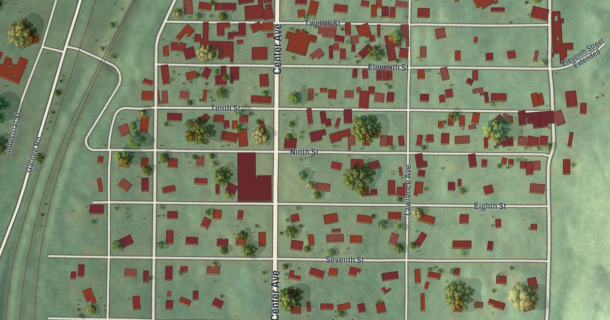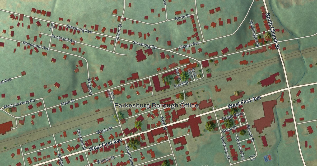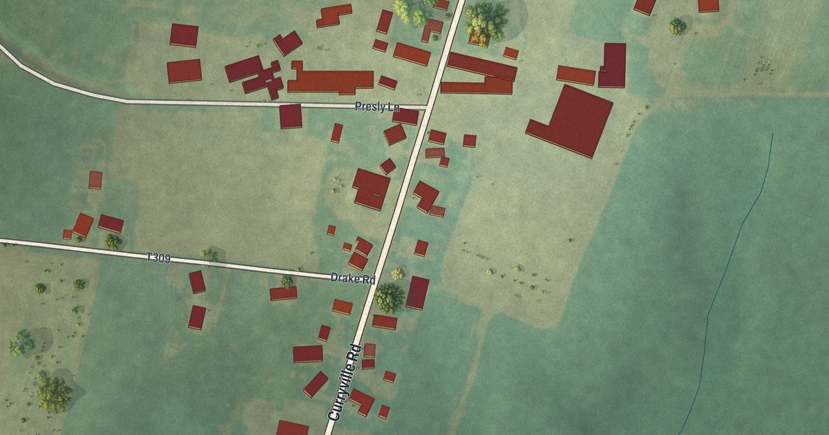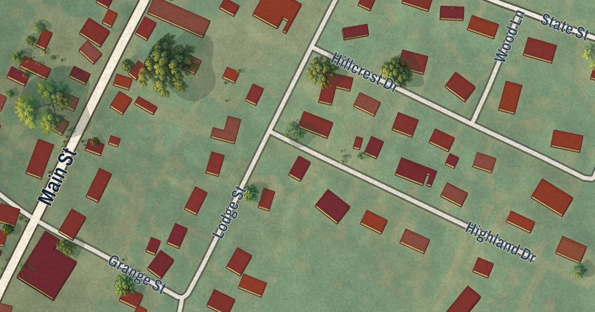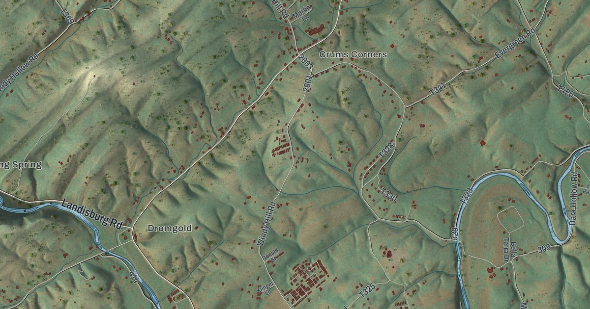
This beautifully detailed map of Carroll, Perry County, Pennsylvania was created in 2026 using aerial imagery combined with modern topographical, census, street and landmark data. It’s a one-of-a-kind view of Carroll that combines accurate data with a vintage aesthetic. The map shows every building in its true location, many of the roads carry their names, and the shaded topographic relief shows the shape of the land.
Explore an aerial view of Carroll, Perry County, Pennsylvania
On the map you’ll find Crums Corners, Shermans Dale, Dromgold, Falling Spring, and Mecks Corner, along with Valley Road, Spring Road, Landisburg Road, Burn Hill Road, and more. If you look closely you can even find your house accurately drawn in its correct location. Zoom in on the preview to look for yours.
Did you know this piece of Carroll, Perry County, Pennsylvania history?
From the 1873 History of Perry County, in Pennsylvania : "Sutch's school-house, in Carroll township, was located on the south-east bank of Sherman's creek. The spot on which this house stood was consecrated anew by the erection of Mount Pisgah Evangelical Lutheran church on it."
Take a closer look at the Carroll, Perry County map
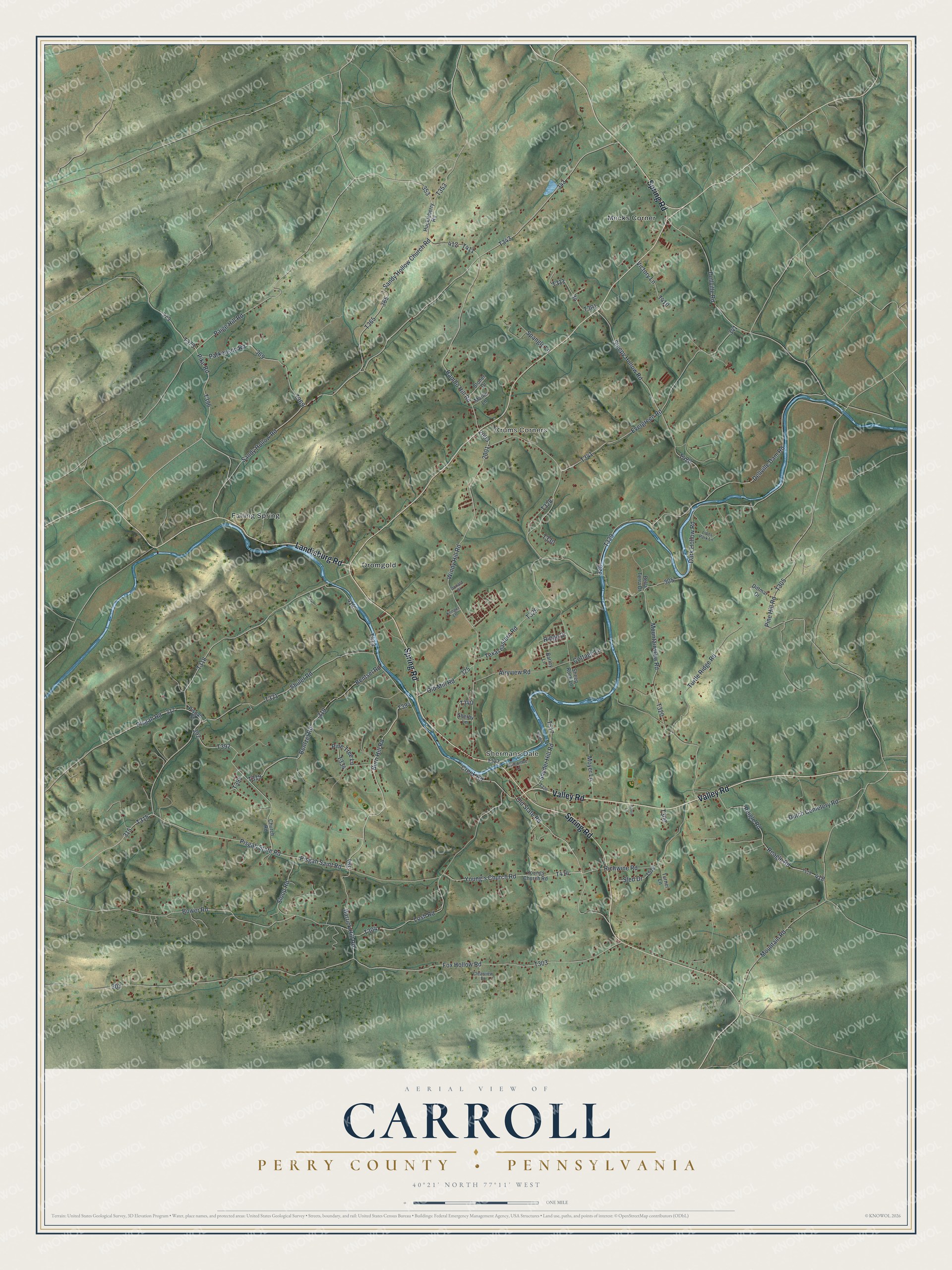
Street and place names on the Carroll, Perry County, Pennsylvania map
These names are printed on the map of Carroll, Perry County, Pennsylvania.
Places: Crums Corners, Shermans Dale, Dromgold, Falling Spring and Mecks Corner.
Streets and roads: Valley Road, Spring Road, Landisburg Road, Burn Hill Road, Pisgah Saint Road, Snyder Hill Road, Pike Road, Sandy Hollow Road, Windy Hill Road, Rambo Hill Road, Pisgah State Road, Old State Road.
More street names, A to Z
Acorn Lane, Airyview Road, Ashcombe Lane, Barley Lane, Barrick Hill Road, Bella Terra Drive, Bentsel Road, Bentzel Road, Bower Road, Church Road, Clearview Drive, Cottage Lane, Creek Road, Dark Hollow Road, Dellville Dam Road, Dellville Road, Dittmar Drive, Donald Street, Dutch Cemetery Road, Evergreen Road, Fox Hollow Road, Huckleberry Road, Klinger Lane, Lions Park Lane, Losh Road, Marlin Lane, Mountain Road, Mountainview Road, Moyer Lane, Old Mill Road, Paige Hill Road, Parkenson Road, Pine Hill Road, Pine Tree Lane, Pisgah Road, Pisgah Street, Reagle Road, Reigle Road, Richwine Road, Ridge Drive, Sandy Hollow Church Road, Sheep Rock Lane, Sherby Lane, Shuler Road, Sled Drive, Sleepy Hollow Road, Sloop Road, Souder, Spangle Lane, Stoner Drive, Texaseastern Road, Turner Lane, Turtle Ridge Road, Victory Lane, Young's Church Road, Youngs Church Road.
See the Carroll, Perry County, Pennsylvania map on a wall
The Carroll, Perry County map as an 18 x 24 inch print in a black frame.

This beautifully detailed map of Carroll, Perry County makes an attractive addition to your office, library, or den, and it can even be used to teach children the geography and history of the area. It also makes a great gift for anyone who grew up in Carroll or moved away. When you’re done exploring, click here to get your copy of the Carroll, Perry County map.