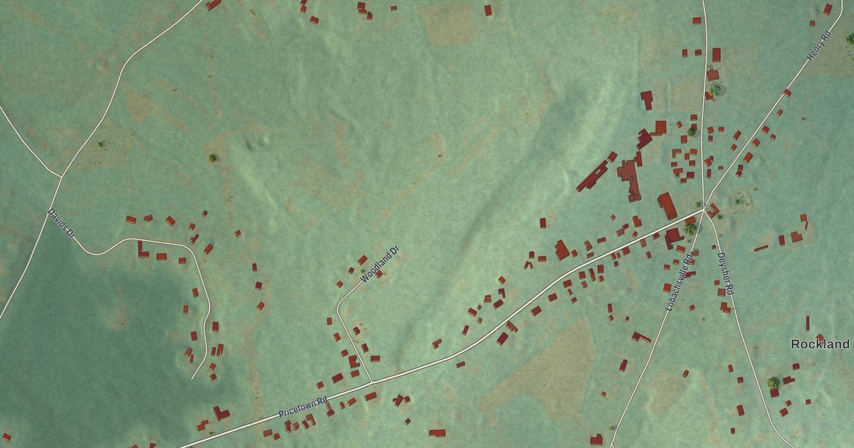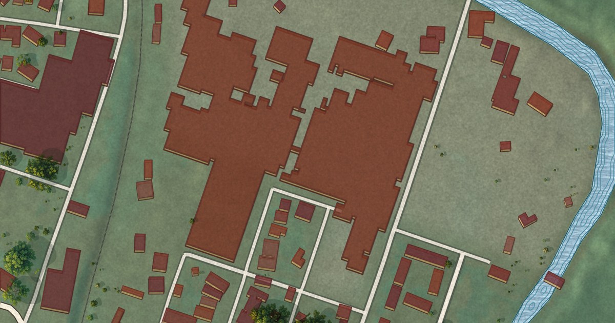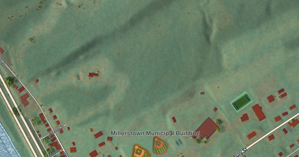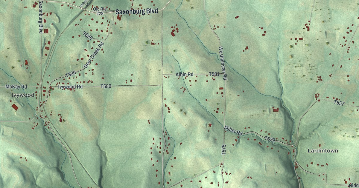
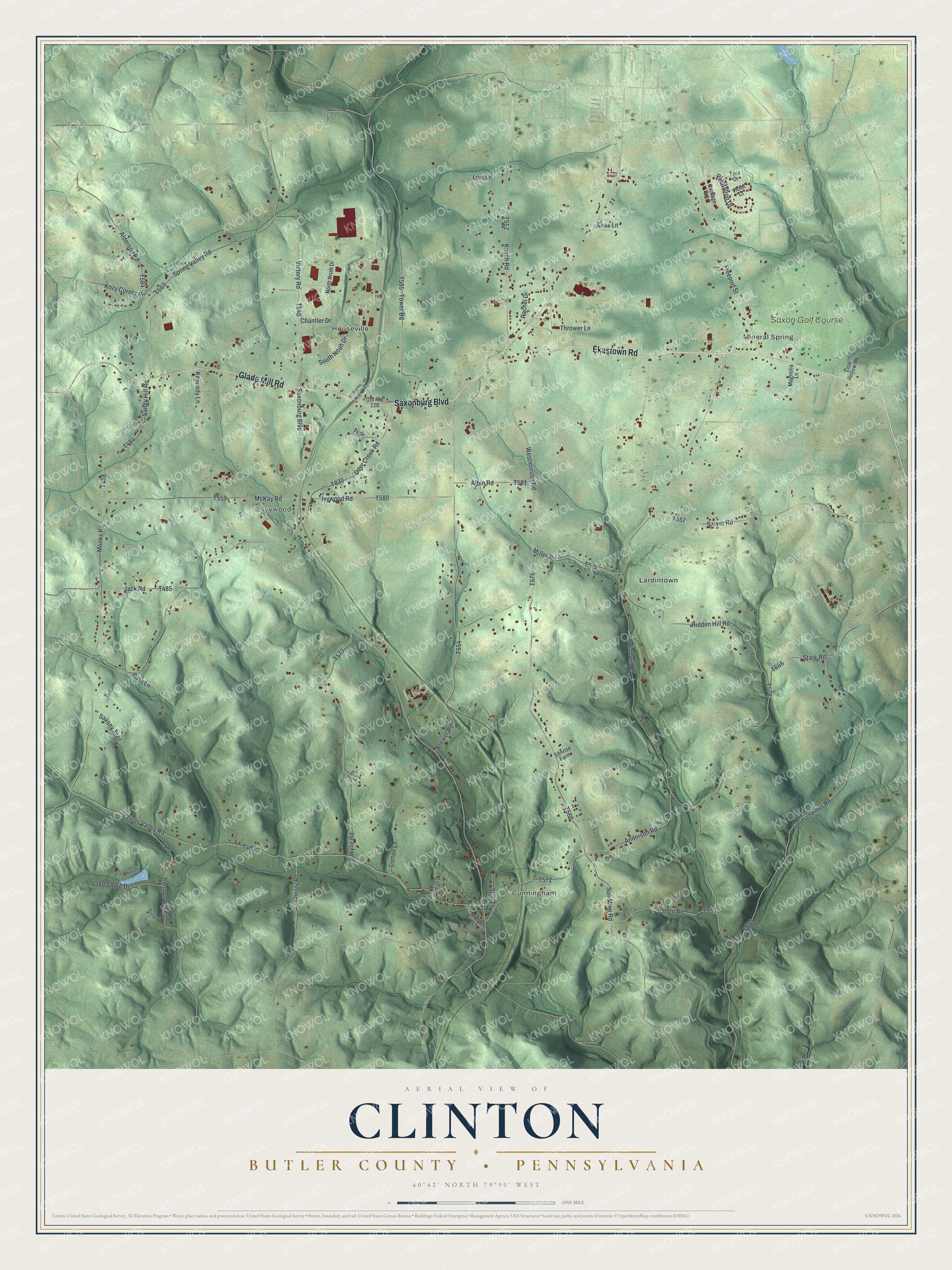
This beautifully detailed map of Clinton, Butler County, Pennsylvania was created in 2026 using aerial imagery combined with modern topographical, census, street and landmark data. It’s a one-of-a-kind view of Clinton that combines accurate data with a vintage aesthetic. The map shows every building in its true location, many of the roads carry their names, and the shaded topographic relief shows the shape of the land.
Explore an aerial view of Clinton, Butler County, Pennsylvania
On the map you’ll find Mineral Spring, Cunningham, Houseville, Ivywood, Lardintown, and Saxon Golf Course, along with Saxonburg Boulevard, Ekastown Road, Glade Mill Road, and more. If you look closely you can even find your house accurately drawn in its correct location. Zoom in on the preview to look for yours.
Did you know this piece of Clinton, Butler County, Pennsylvania history?
Patrick Harvey, a native of County Down, Ireland, made the first settlement in Clinton Township. He came into the wilderness here in 1794, built a log hut and cleared ten acres. The next May he brought his family from Westmoreland County. His wife lived on the homestead for thirty-six years. That’s from the 1895 History of Butler County, Pennsylvania.
Take a closer look at the Clinton, Butler County map
Street and place names on the Clinton, Butler County, Pennsylvania map
These names are printed on the map of Clinton, Butler County, Pennsylvania.
Places: Mineral Spring, Cunningham, Houseville, Ivywood, Lardintown and Saxon Golf Course.
Streets and roads: Saxonburg Boulevard, Ekastown Road, Glade Mill Road, Lardintown Road, Deer Creek Road, Cherry Valley Road, Sun Mine Road, Brewer Road, Westminster Road, Goldscheitter Road, Tower Road, Anderson Road.
More street names, A to Z
Albin Road, Alderson Road, Buss Lane, Callen Road, Cannon Hill Road, Carriage Lane, Chantler Drive, Christy Road, Coal Hollow Road, Cotton Lane, Cromwell Drive, Dusty Lane, Ekas Lane, Elm Lane, Freeport Street, Hidden Hill Road, Holben Lane, Ivywood Road, Jack Road, Keller Lane, Kennedy Lane, Knoch Road, Kozy Corner Road, Lake Shore Drive, Limbacher Lane, Lois Lane, Magnolia Lane, McKay Road, Miller Road, Monks Road, North Noah Drive, Old Route 228, Plantation Drive, Rachel Drive, Sandy Hill Road, Sarver Road, Saxony Trail, South Noah Drive, Spring Valley Road, Stark Road, Stull Lane, Sunrise Farm, Tara Court, Thrower Lane, Victory Road, Violet Court, Wylie Road.
See the Clinton, Butler County, Pennsylvania map on a wall
The Clinton, Butler County map as an 18 x 24 inch print in a black frame.

This beautifully detailed map of Clinton, Butler County makes an attractive addition to your office, library, or den, and it can even be used to teach children the geography and history of the area. It also makes a great gift for anyone who grew up in Clinton or moved away. When you’re done exploring, click here to get your copy of the Clinton, Butler County map.