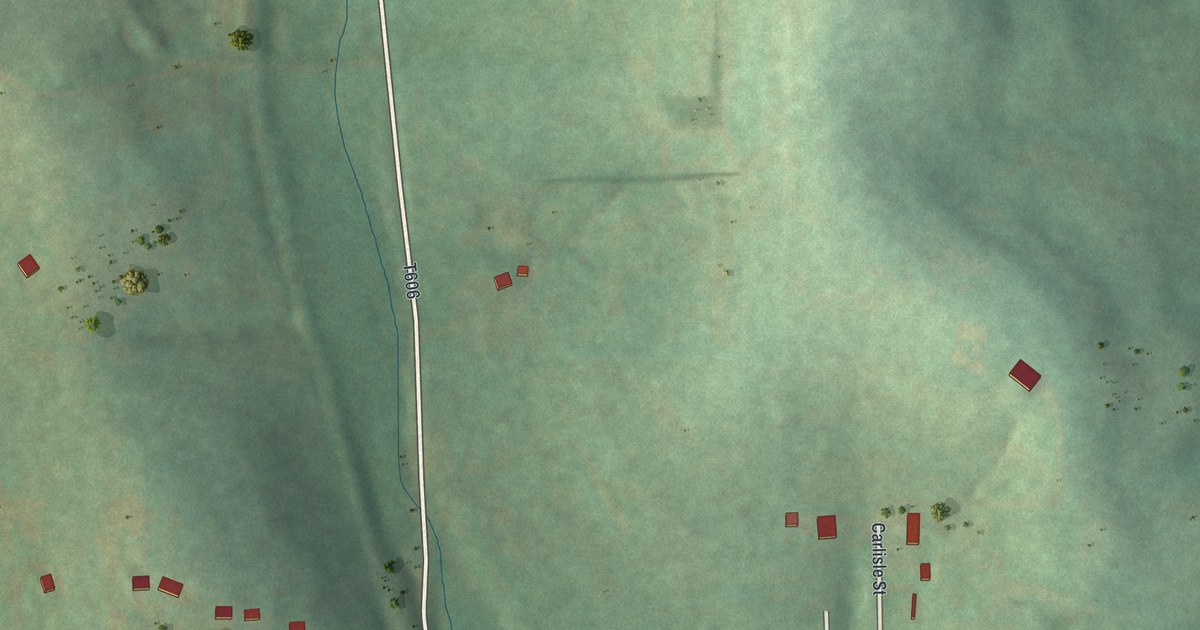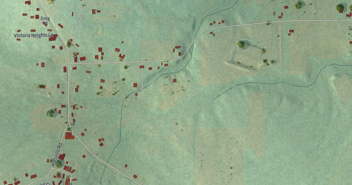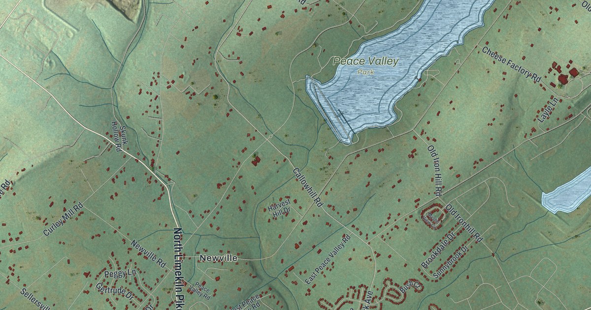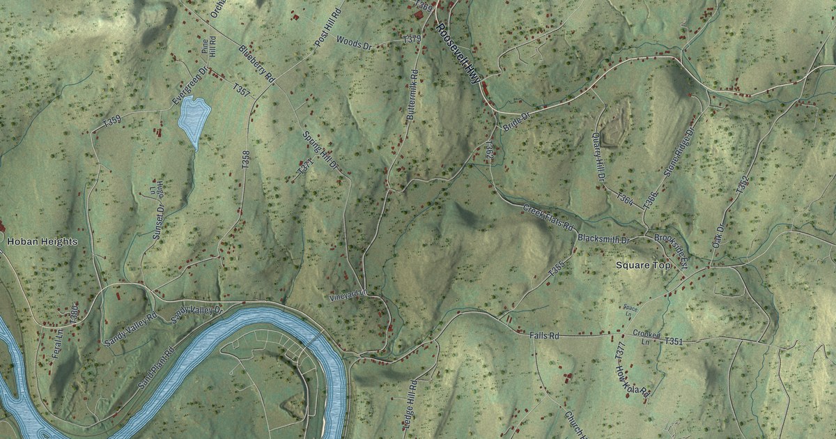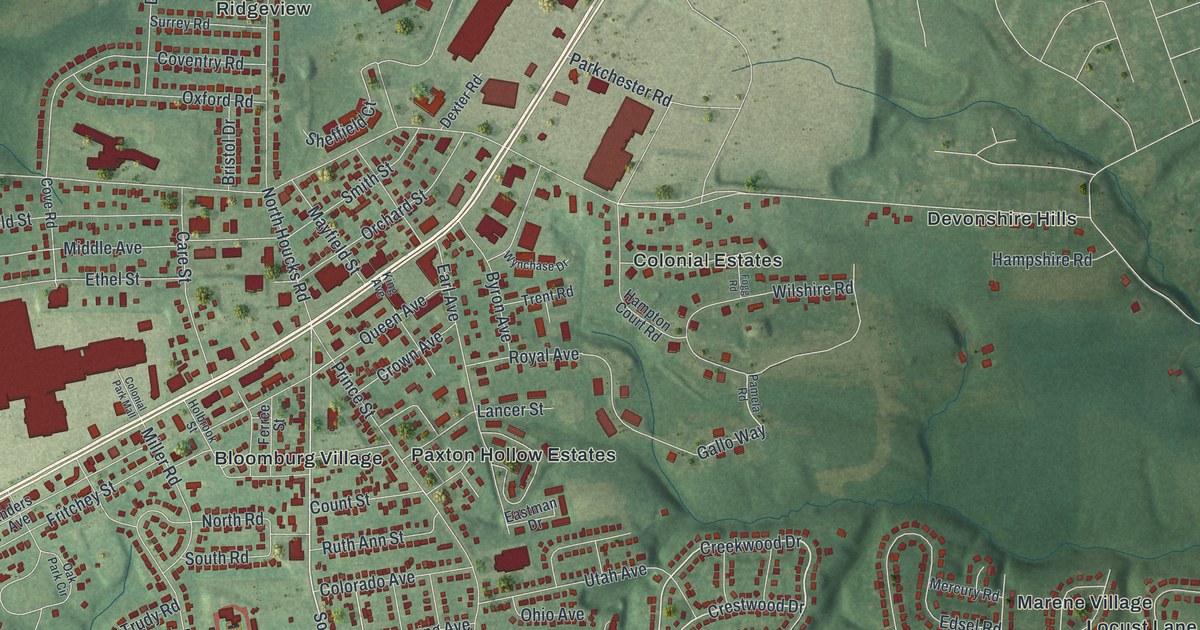
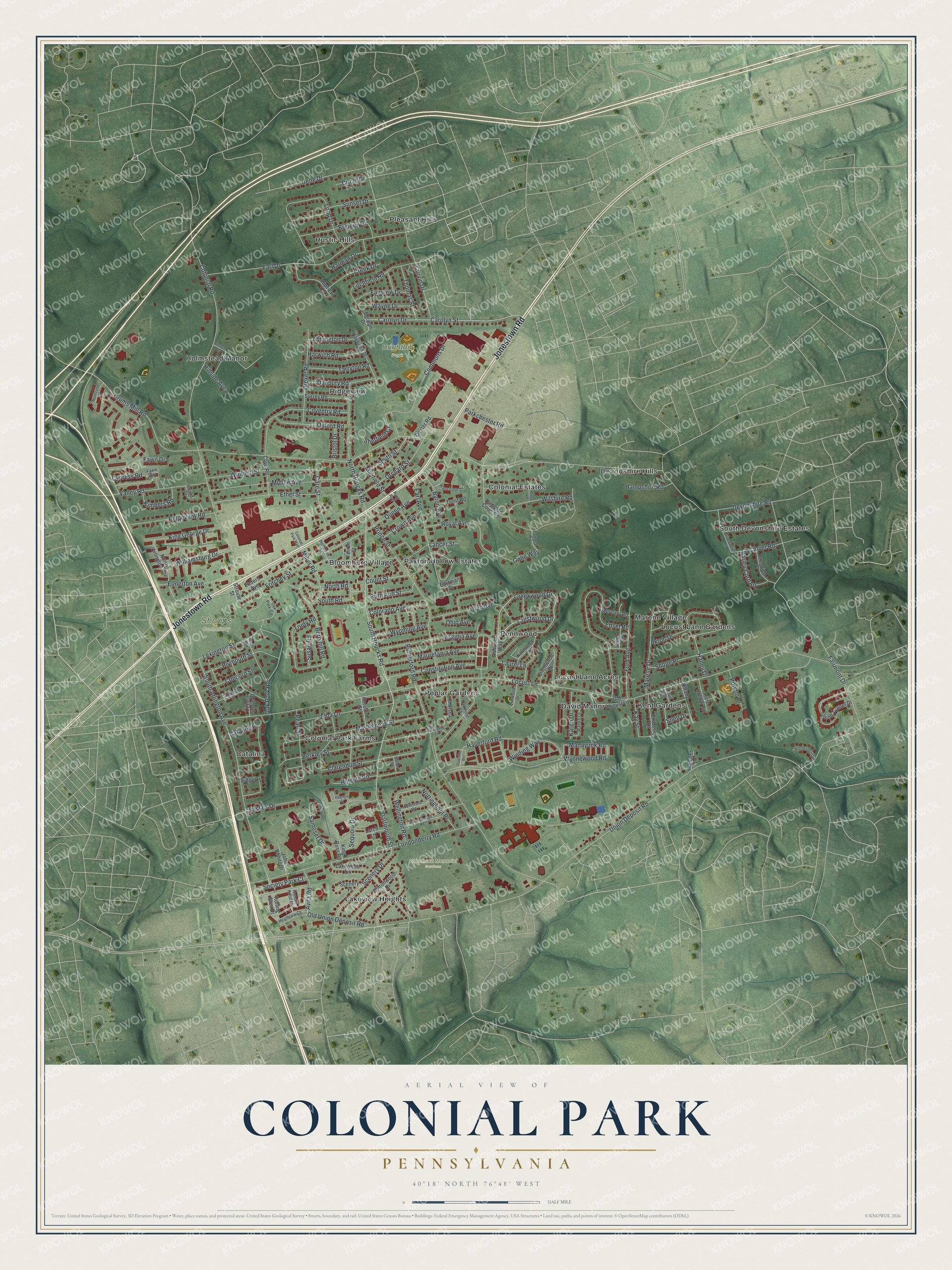
This beautifully detailed map of Colonial Park, Pennsylvania was created in 2026 using aerial imagery combined with modern topographical, census, street and landmark data. It's a modern aerial view of Colonial Park in Dauphin County, Pennsylvania, that combines modern data with a vintage aesthetic. The roads feature printed names, and if you look closely you can find your exact house accurately shown in its correct location.
Explore an aerial view of Colonial Park, Pennsylvania
On this map you'll find Brightbill Park, Shoops Cemetery, Woodlawn Memorial Gardens, Kent Gardens, South Devonshire Estates, Poplar Gardens, Holmstead Manor, Pleasant Hills, Paxton Hollow Estates, Catalina, Colonial Estates, Locust Lane Gardens, and more. Each red shape is a building, so zoom in on the preview and look for yours.
Colonial Park has a story worth telling. Colonial Park began in October 1915, when sixteen acres just beyond Progress were plotted and put up for sale as bungalow sites. The new tract was named Colonial Park, and it sat among the bungalows that were going up year by year along that popular road. The sale was run by E. E. Evans from his office in the Kunkel Building in Harrisburg. That's from the Harrisburg Telegraph.
Colonial Park is a community in Dauphin County. The Census Bureau counted 16,243 people here in 2020. Colonial Park sits about 2 miles southwest of Paxtonia, 2 miles east of Progress and 2 miles north of Lawnton. The map prints the town name in its title panel, with the coordinates below it.
Take a closer look at the Colonial Park map
Names on this map
These names are printed on this map.
Places: Brightbill Park, Shoops Cemetery, Woodlawn Memorial Gardens, Kent Gardens, South Devonshire Estates, Poplar Gardens, Holmstead Manor, Pleasant Hills, Paxton Hollow Estates, Catalina, Colonial Estates, Locust Lane Gardens, Bloomburg Village, Colonial Park Farms, Devonshire Hills, Rustic Hills, Lakeview Heights, Ridgeview, David Manor, Pennwood, Locust Lane Acres and Marene Village.
Streets and roads: Jonestown Road, Crestwood Drive, Creekwood Drive, South Houcks Road, Dartmouth Street, Union Deposit Road, Scenery Drive, Gallo Way, Locust Lane, Devonshire Road, Colonial Road, Fairmont Drive.
More street names, A to Z
Abbington Drive, Akron Drive, Ashwood Way, Avila Road, Barley Corn Square, Berkley Street, Berryhill Road, Berwyn Drive, Birchwood Drive, Bretney Drive, Bristol Drive, Buick Street, Buttonwood Drive, Byron Avenue, Calvert Street, Cambridge Street, Care Street, Carolyn Drive, Carolyn Street, Catalina Lane, Central Avenue, Chelsea Lane, Circle Drive, Clarendon Street, Clover Road, Colonial Park Mall, Colorado Avenue, Commons Drive, Concord Street, Constitution Avenue, Count Street, Coventry Road, Cove Road, Creek Drive, Crown Avenue, Crums Mill Road, Curvin Drive, Cypress Road, Danbury Road, Dexter Road, Drexel Road, Earl Avenue, Earl Drive, Eastman Drive, Edsel Road, Elba Lane, Elmerton Avenue, Elmwood Drive, Embassy Drive, Enders Avenue, Ethel Street, Fairview Drive, Fawn Drive, Fawn Square, Ferree Street, Fogg Road, Ford Avenue, Fresno Drive, Fritchey Street, Garden Lane, Greenhill Lane, Hampshire Road, Hampton Court Road, Haney Drive, Harman Drive, Harwich Road, Hastings Drive, Haverford Road, Heathrow Court, Hereford Street, Hillsborough Court, Hillside Avenue, Hillside Road, Holbrook Street, Irene Drive, Iroquois Court, John Bonitz Drive, Karen Drive, Kay Street, Kessler Lane, Kimbers Road, King Avenue, King George Drive, King Russ Road, Lakewood Drive, Lancer Street, Larch Lane, Laurel Lane, Lexington Street, Litchfield Road, Locust Grove Court, Londonderry Road, Loop Drive, Manayunk Road, Maple Road, Marblehead Street, Marene Drive, Mauretania Avenue, Mayfield Street, Mercury Road, Middle Avenue, Miller Road, Monticello Lane, Nittany Lane, North Arlington Avenue, North Houcks Road, North Road, Northwood Drive, Nottingham Place, Oakmont Road, Oak Park Circle, Oak Park Road, Ohio Avenue, Old Locust Lane, Old Union Deposit Road, Orchard Street, Oxford Road, Pamela Road, Parkchester Road, Pearl Street, Peterborough Road, Pine Hollow Road, Plymouth Street, Porche Drive, Prince Street, Queen Avenue, Radcliffe Drive, Ridge Drive, Ridgeview Road, Rolling Glen Drive, Roman Knoll Court, Royal Avenue, Ruth Ann Street, Rutherford Road, Samoset Drive, Scenery Place, Sequoia Drive, Sheffield Court, Shope Place, Smith Street, Snell Drive, Society Park Court, South Arlington Avenue, South Road, Strouse Street, Sunset Drive, Surrey Road, Susan Road, Sussex Drive, Tarryton Road, Terrill Road, Thomas Street, Topview Drive, Trent Road, Trudy Road, Union Tunnel Drive, Utah Avenue, Valley Road, Virginia Avenue, Wanda Lane, Wayne Drive, Wellington Road, Wheatfield Drive, Williamsburg Drive, Wilshire Road, Winding Way, Winfield Street, Winsford Road, Wynchase Drive, Wynnewood Road, Wyoming Avenue.
See it on a wall
The Colonial Park map as a framed print. Swipe for more.


Created by KNOWOL in 2026. The buildings are small red shapes, the roads carry their printed names, and shaded relief shows the shape of the land. The title panel reads "AERIAL VIEW OF COLONIAL PARK, PENNSYLVANIA" with 40°18' NORTH 76°48' WEST.
It looks right in a kitchen, an office or a den, and it's a gift for anyone who grew up in Colonial Park or moved away. Open the preview and find your street. See sizes and frames for the Colonial Park map.