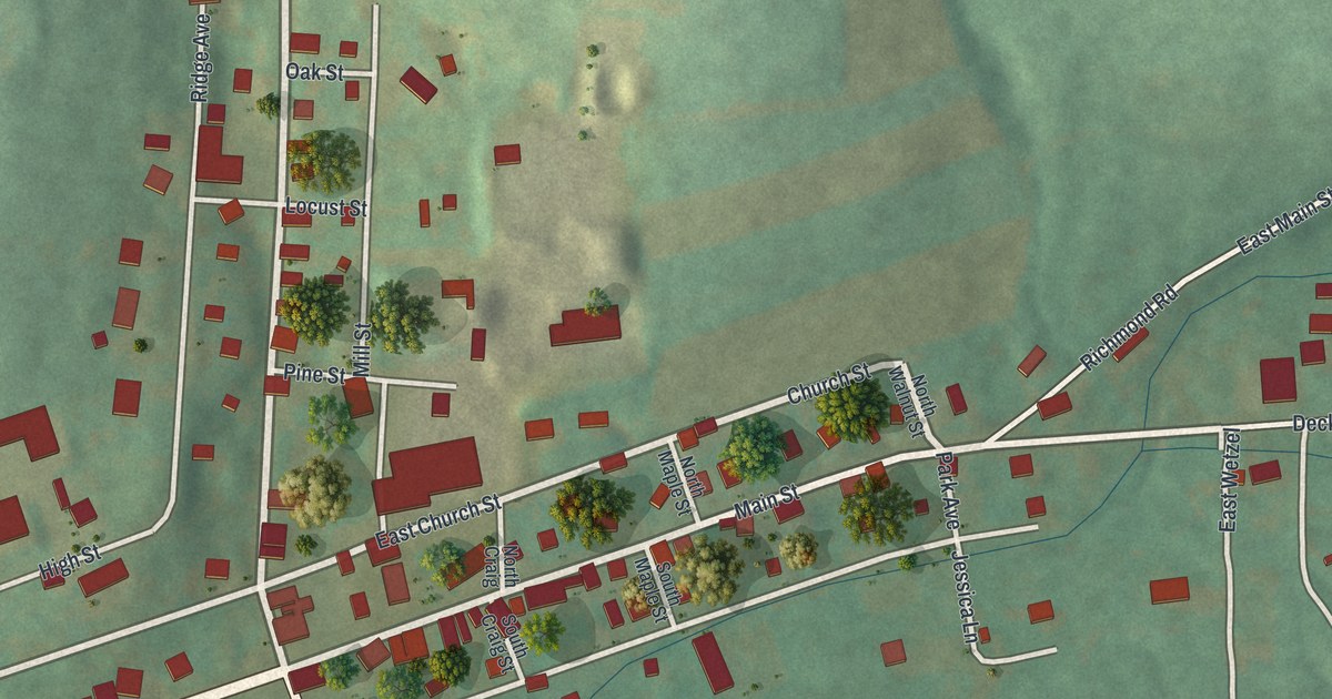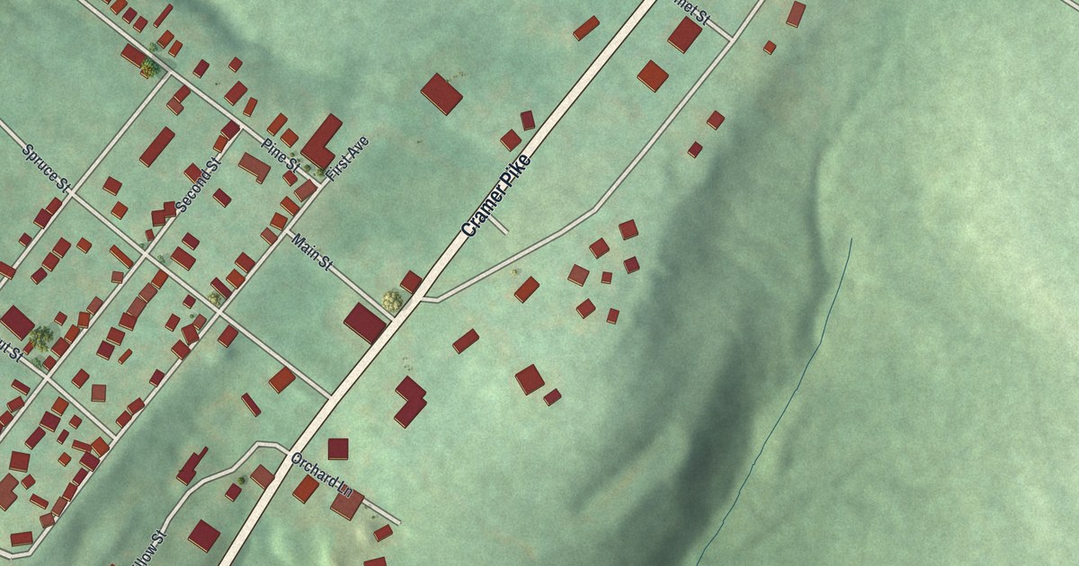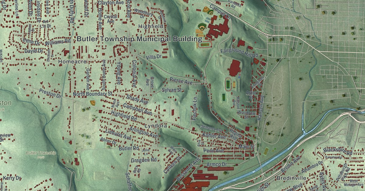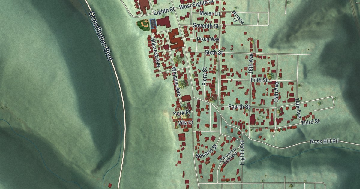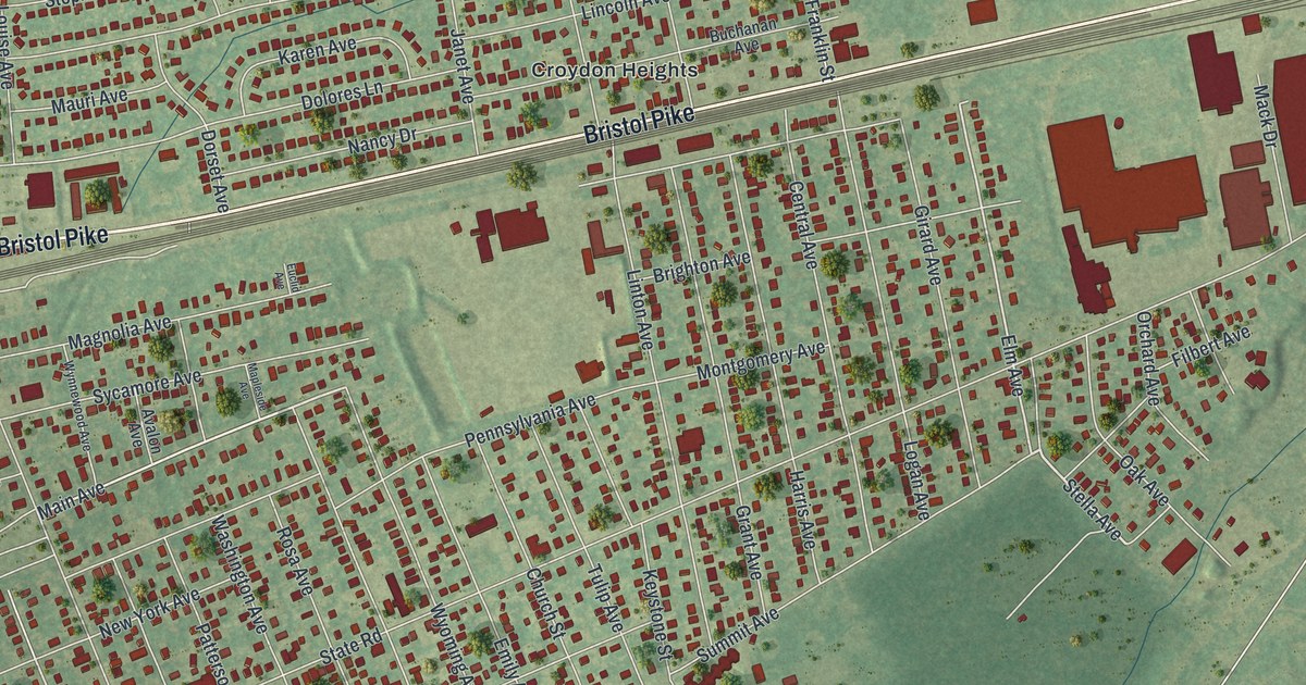
This beautifully detailed map of Croydon, Pennsylvania was created in 2026 using aerial imagery combined with modern topographical, census, street and landmark data. It’s a one-of-a-kind view of Croydon that combines accurate data with a vintage aesthetic. The map shows every building in its true location, many of the roads carry their names, and the shaded topographic relief shows the shape of the land.
Explore an aerial view of Croydon, Pennsylvania
On the map you’ll find Bristol Cemetery, Neshaminy State Park, Saint Mark’s Cemetery, Belardy, Croydon Acres, Croydon Heights, Maple Shade, and West Bristol, along with Bristol Pike, Cedar Avenue, Stella Avenue, Main Street, and more. If you look closely you can even find your house accurately drawn in its correct location. Zoom in on the preview to look for yours.
Did you know this piece of Croydon, Pennsylvania history?
From the Croydon Volunteer Fire Company: "Founded in 1918, the Croydon Volunteer Fire Company proudly provides Fire, Rescue and EMS services to the 10,000 plus residents of Croydon, Pennsylvania while also providing mutual Fire, Rescue and EMS support to neighboring Bristol Township, Bristol Borough and Bensalem Townships."
Take a closer look at the Croydon map
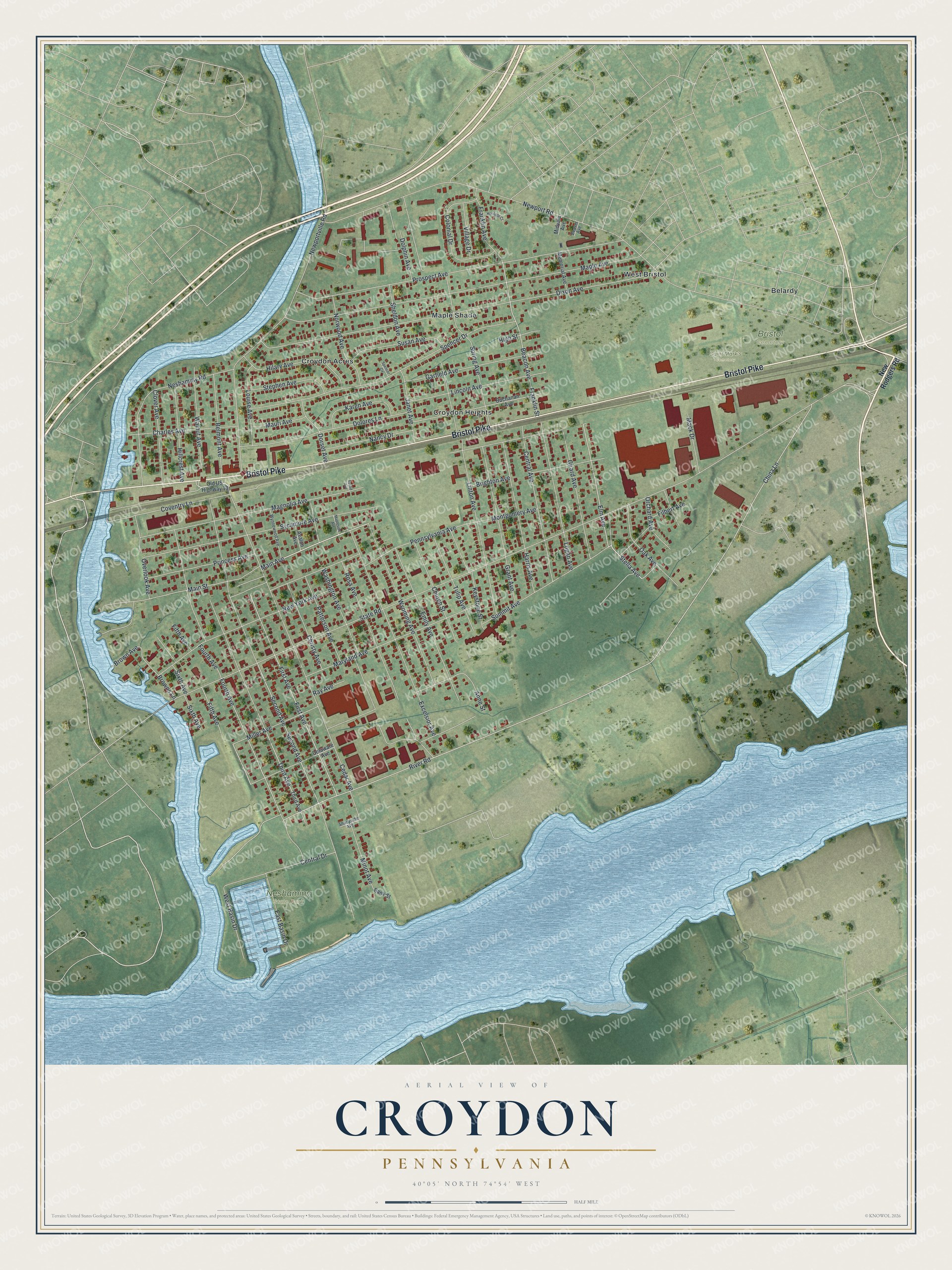
Street and place names on the Croydon, Pennsylvania map
These names are printed on the map of Croydon, Pennsylvania.
Places: Bristol Cemetery, Neshaminy State Park, Saint Mark's Cemetery, Belardy, Croydon Acres, Croydon Heights, Maple Shade and West Bristol.
Streets and roads: Bristol Pike, Cedar Avenue, Stella Avenue, Main Street, Main Avenue, Elm Avenue, River Road, First Avenue, State Road, China Lane, Newport Road, Second Avenue.
More street names, A to Z
Anne Street, Avalon Avenue, Bank Street, Beacon Avenue, Beaver Avenue, Belmont Avenue, Brighton Avenue, Brown Avenue, Browns Lane, Buchanan Avenue, Central Avenue, Central Drive, Charles Avenue, Christy Avenue, Church Street, Clover Avenue, Colonial Drive, Coventry Lane, Delaware Avenue, Dixon Avenue, Dolores Lane, Dolphin Avenue, Dorset Avenue, East Basin Drive, Emily Avenue, Euclid Avenue, Excelsior Avenue, Fifth Avenue, Filbert Avenue, Fourth Avenue, Franklin Avenue, Franklin Street, Garfield Avenue, Girard Avenue, Grant Avenue, Harris Avenue, Heritage Court, High Street, Hilary Avenue, Hillcrest Avenue, Janet Avenue, Karen Avenue, Keystone Street, Lincoln Avenue, Linton Avenue, Logan Avenue, Louise Avenue, Mack Drive, Magnolia Avenue, Maple Avenue, Mapleside Avenue, Maryland Avenue, Mauri Avenue, Memorial Avenue, Midvale Avenue, Miller Avenue, Minot Avenue, Montgomery Avenue, Nancy Drive, Neshaminy Road, Newportville Road, New Rodgers Road, New York Avenue, Norwood Avenue, Oak Avenue, Old US Highway 13, Orchard Avenue, Overlook Avenue, Patterson Avenue, Pennsylvania Avenue, Princess Avenue, Prospect Avenue, Ray Avenue, Rosa Avenue, Shadyside Avenue, Sheldon Avenue, Sixth Avenue, Spencer Circle, Spencer Drive, Spring Avenue, Stephen Avenue, Summit Avenue, Susan Avenue, Sycamore Avenue, Third Avenue, Tulip Avenue, Village Drive, Walnut Avenue, Washington Avenue, West Basin Drive, Wynnewood Avenue, Wyoming Avenue.
See the Croydon, Pennsylvania map on a wall
The Croydon map as an 18 x 24 inch print in a black frame.

This beautifully detailed map of Croydon makes an attractive addition to your office, library, or den, and it can even be used to teach children the geography and history of the area. It also makes a great gift for anyone with Croydon roots. When you’re done exploring, click here to get your copy of the Croydon map.