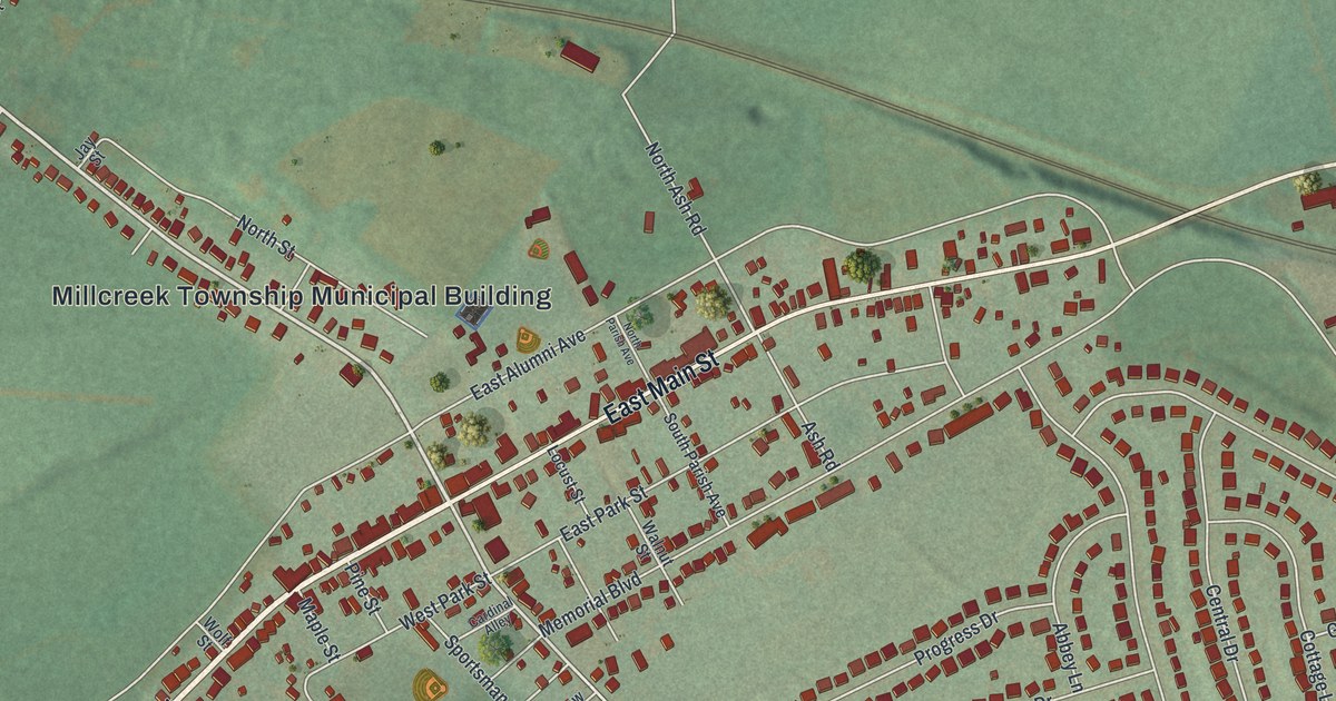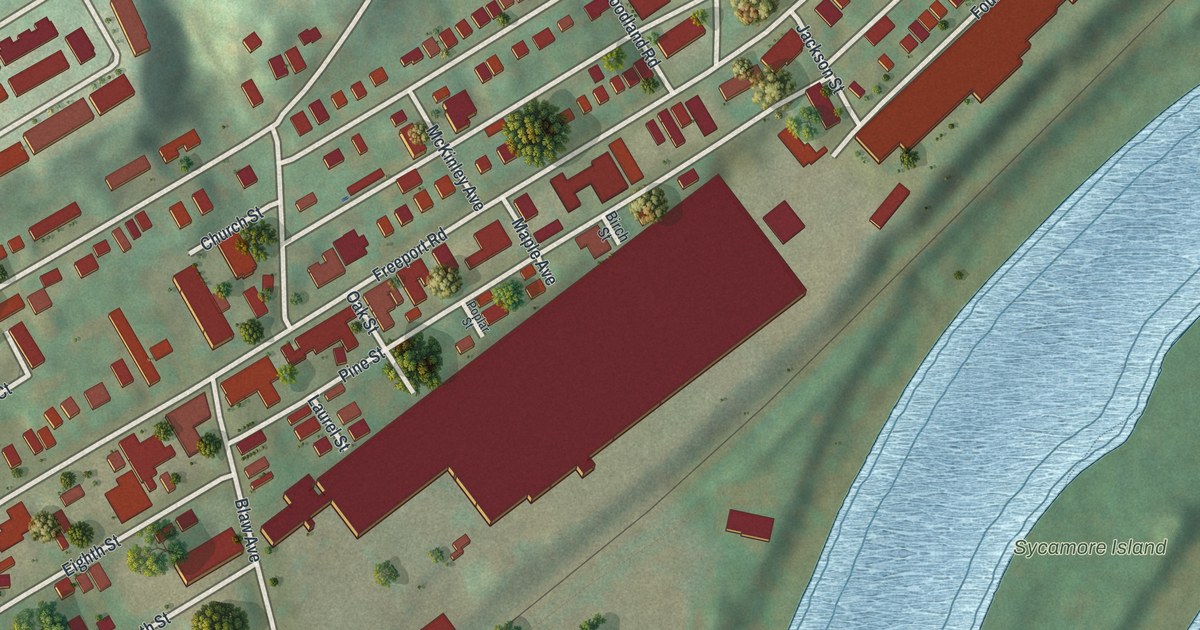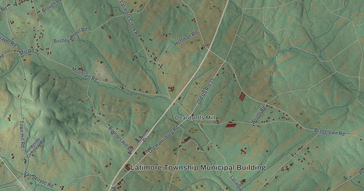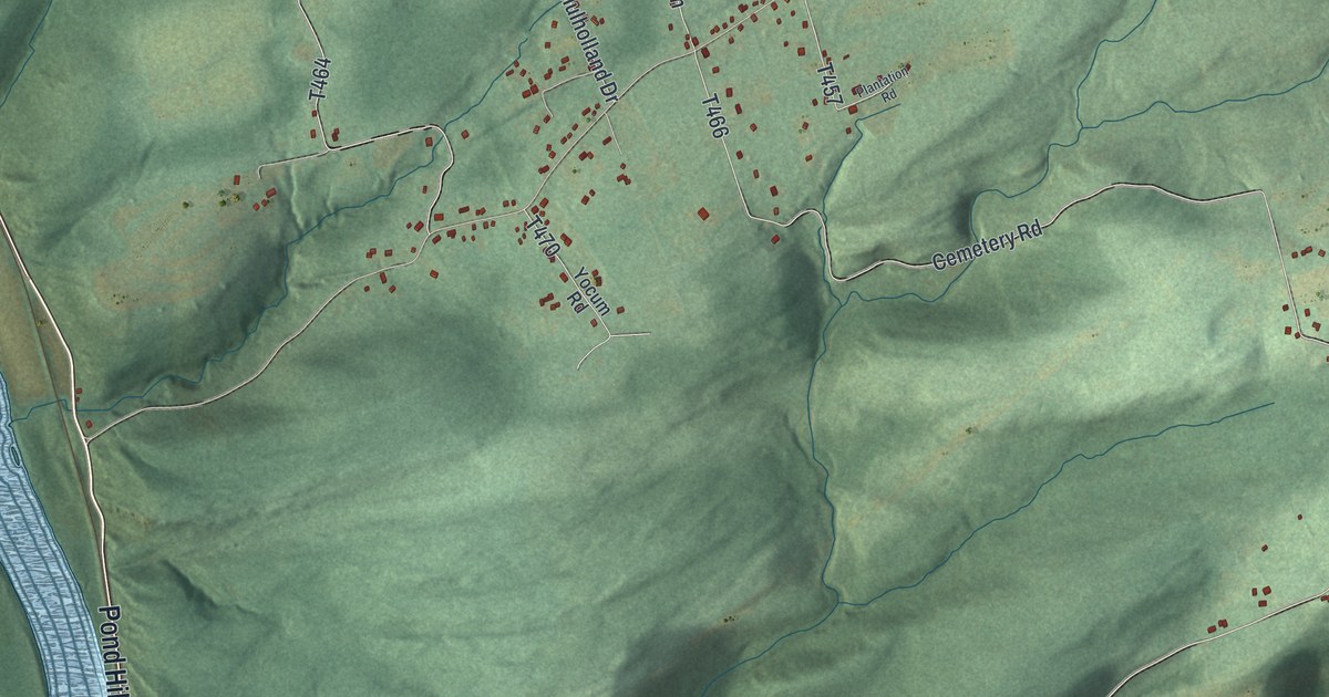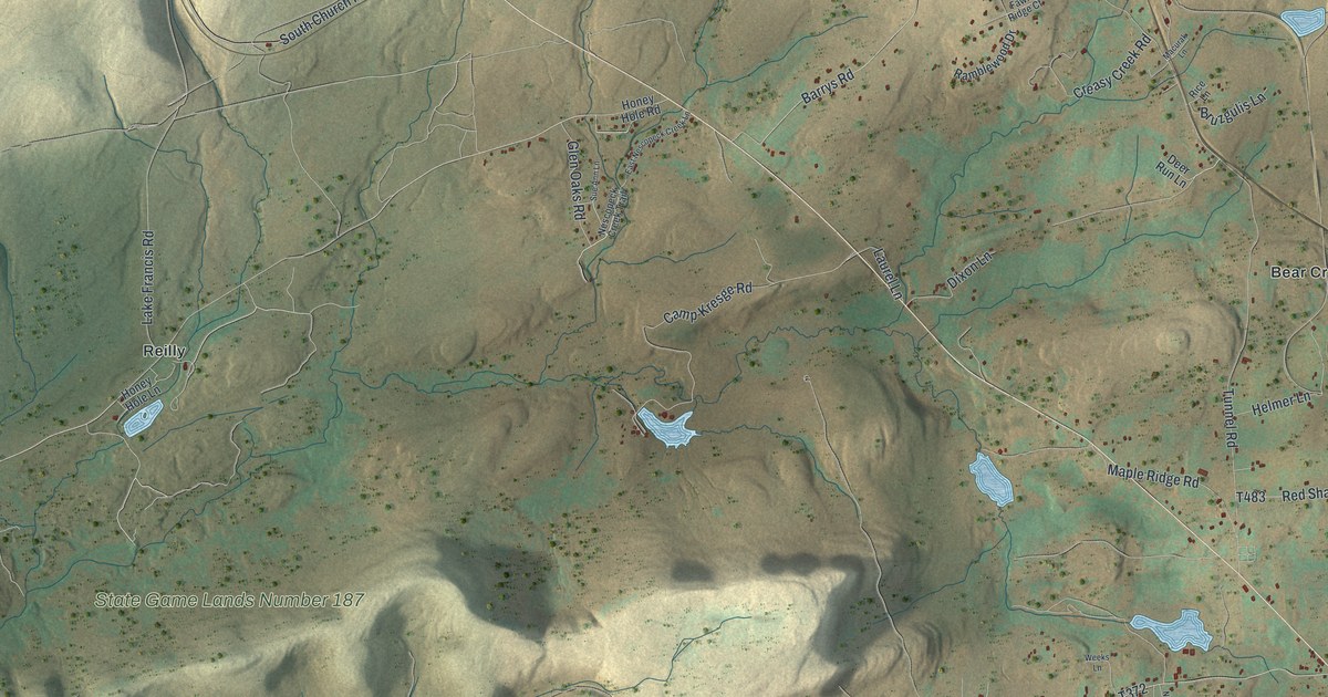
This beautifully detailed map of Dennison, Pennsylvania was created in 2026 using aerial imagery combined with modern topographical, census, street and landmark data. It’s a one-of-a-kind view of Dennison that combines accurate data with a vintage aesthetic. The map shows every building in its true location, many of the roads carry their names, and the shaded topographic relief shows the shape of the land.
Explore an aerial view of Dennison, Pennsylvania
On the map you’ll find Dennison Township Municipal Building, Nescopeck State Park, State Game Lands Number 187, Bear Creek Junction, Middleburg, Moosehead, Ochre Mill, Port Jenkins, and Reilly, along with Middleburg Road, Tunnel Road, Weiss Road, and more. If you look closely you can even find your house accurately drawn in its correct location. Zoom in on the preview to look for yours.
Did you know this piece of Dennison, Pennsylvania history?
From the Pennsylvania Historical and Museum Commission: "Until about 1800, a Native American footpath passed through here. It was one of several linking Indian villages in the Delaware and Susquehanna River drainage systems. This path originated at the Forks of the Delaware River (near Easton) and proceeded northwestward to Wyoming (near Wilkes-Barre) on the Susquehanna. The path's steep mountains were used by the Lenni-Lenape and Susquehannock."
Take a closer look at the Dennison map
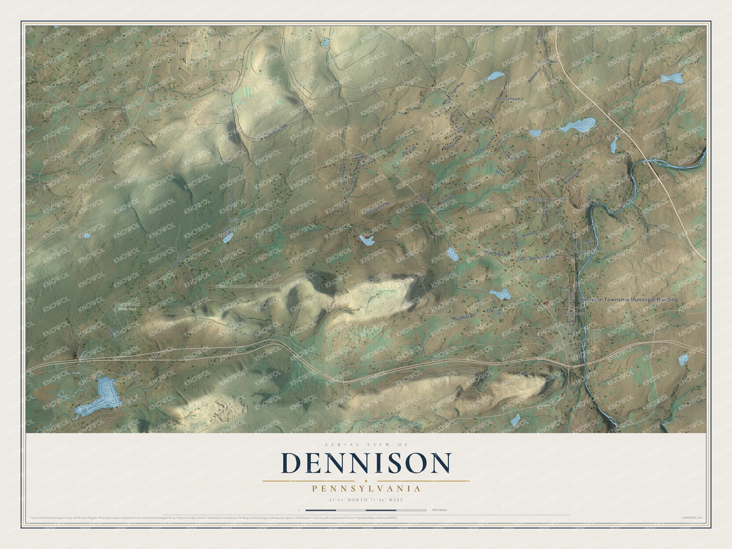
Street and place names on the Dennison, Pennsylvania map
These names are printed on the map of Dennison, Pennsylvania.
Places: Dennison Township Municipal Building, Nescopeck State Park, State Game Lands Number 187, Bear Creek Junction, Middleburg, Moosehead, Ochre Mill, Port Jenkins and Reilly.
Streets and roads: Middleburg Road, Tunnel Road, Weiss Road, Honeyhole Road, Peat Moss Road, Webster Lane, Barrys Road, Camp Kresge Road, Lake Francis Road, South Church Road, Red Shale Pit Road, Maple Ridge Road.
More street names, A to Z
Bridge Lane, Bruzgulis Lane, Creasy Creek Road, Deer Run Lane, Dixon Lane, Earnhart Lane, East Nescopeck Creek Lane, Fawn Ridge Court, Four Seasons Drive, Glen Oaks Road, Hazle Street, Helmer Lane, Hollenback Road, Honey Hole Lane, Honey Hole Road, Ice Lake Road, Jarick Lane, Laurel Lane, Macurak Lane, Natures Lane, Nescopeck Creek Trail, Pacurariu Drive, Ramblewood Drive, Rice Lane, Sitko Lane, State Game Road, Sue Ann Lane, Tamarack Lane, Walnut Street, Weeks Lane, West Line Road.
See the Dennison, Pennsylvania map on a wall
The Dennison map as an 18 x 24 inch print in a black frame.

This beautifully detailed map of Dennison makes an attractive addition to your office, library, or den, and it can even be used to teach children the geography and history of the area. It also makes a great gift for anyone who grew up in Dennison or moved away. When you’re done exploring, click here to get your copy of the Dennison map.