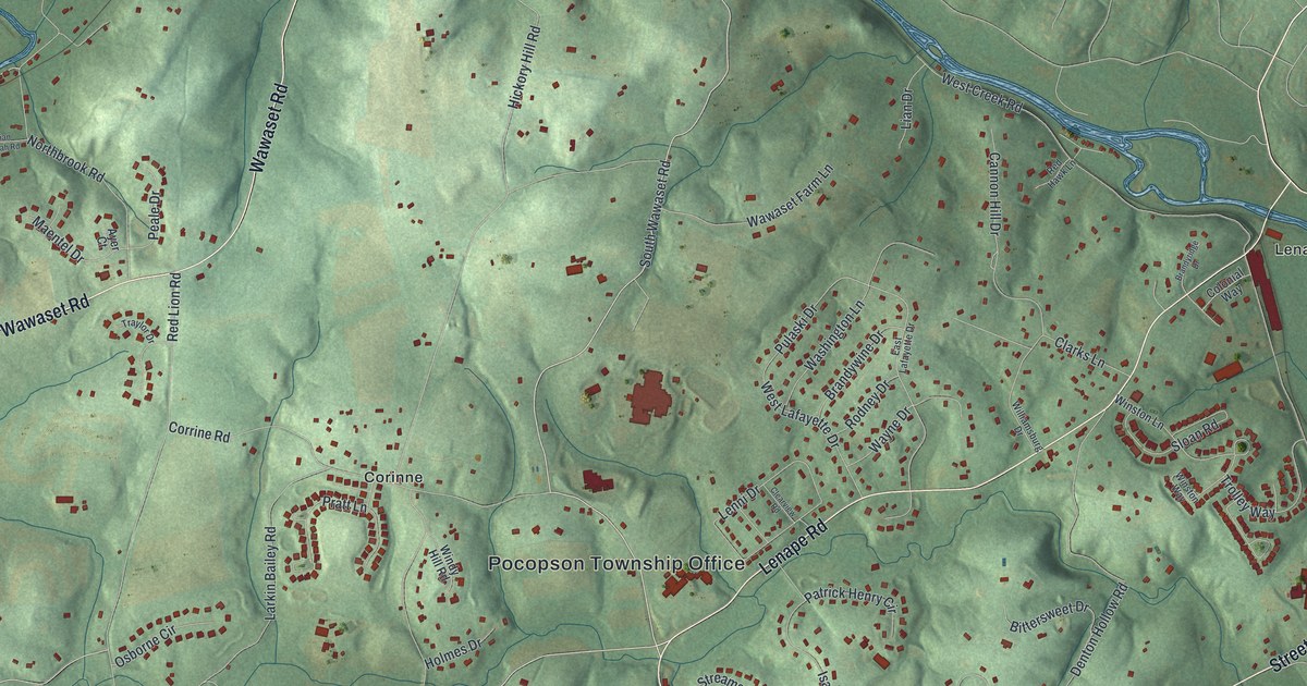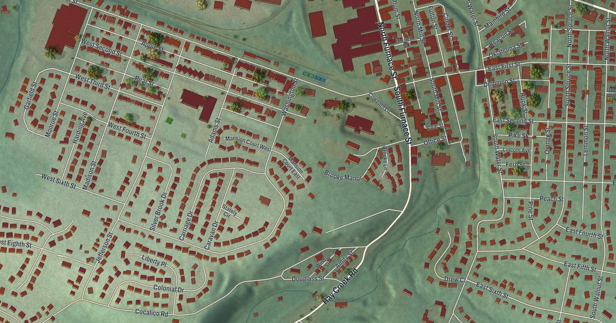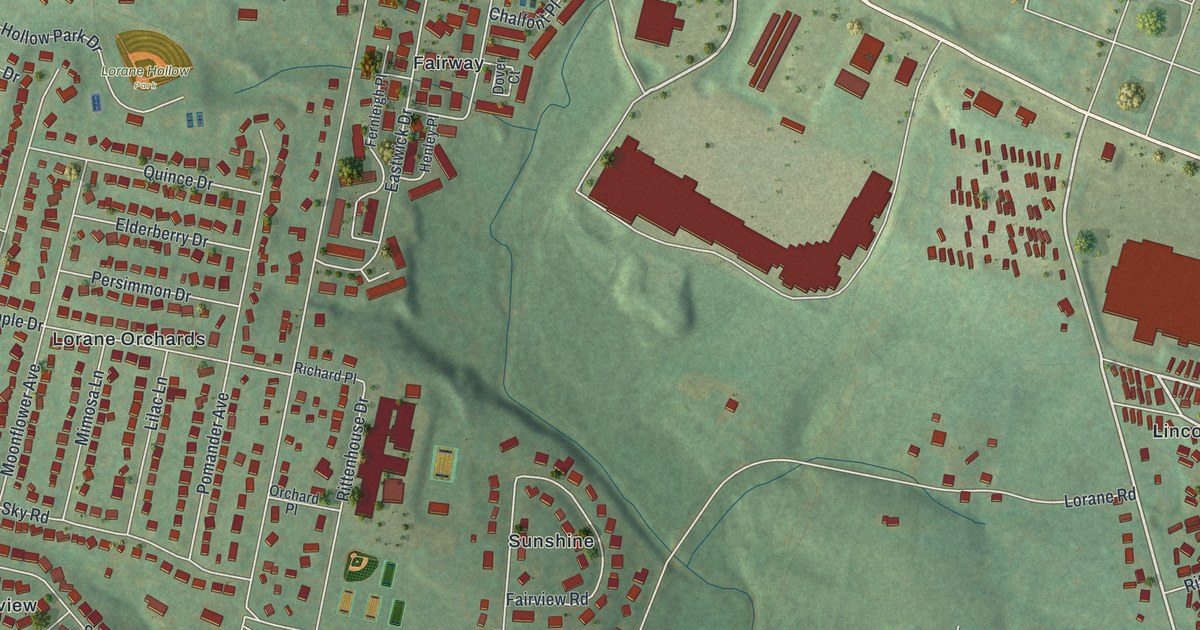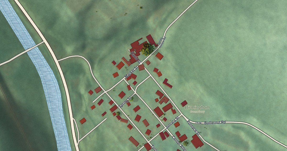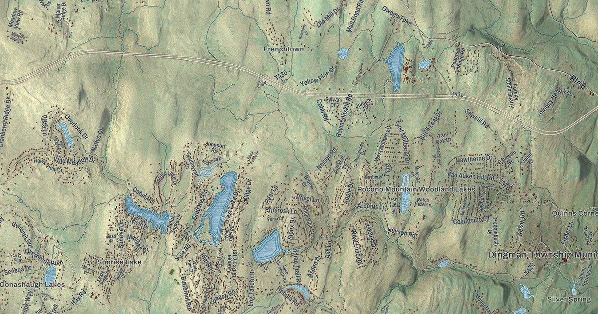
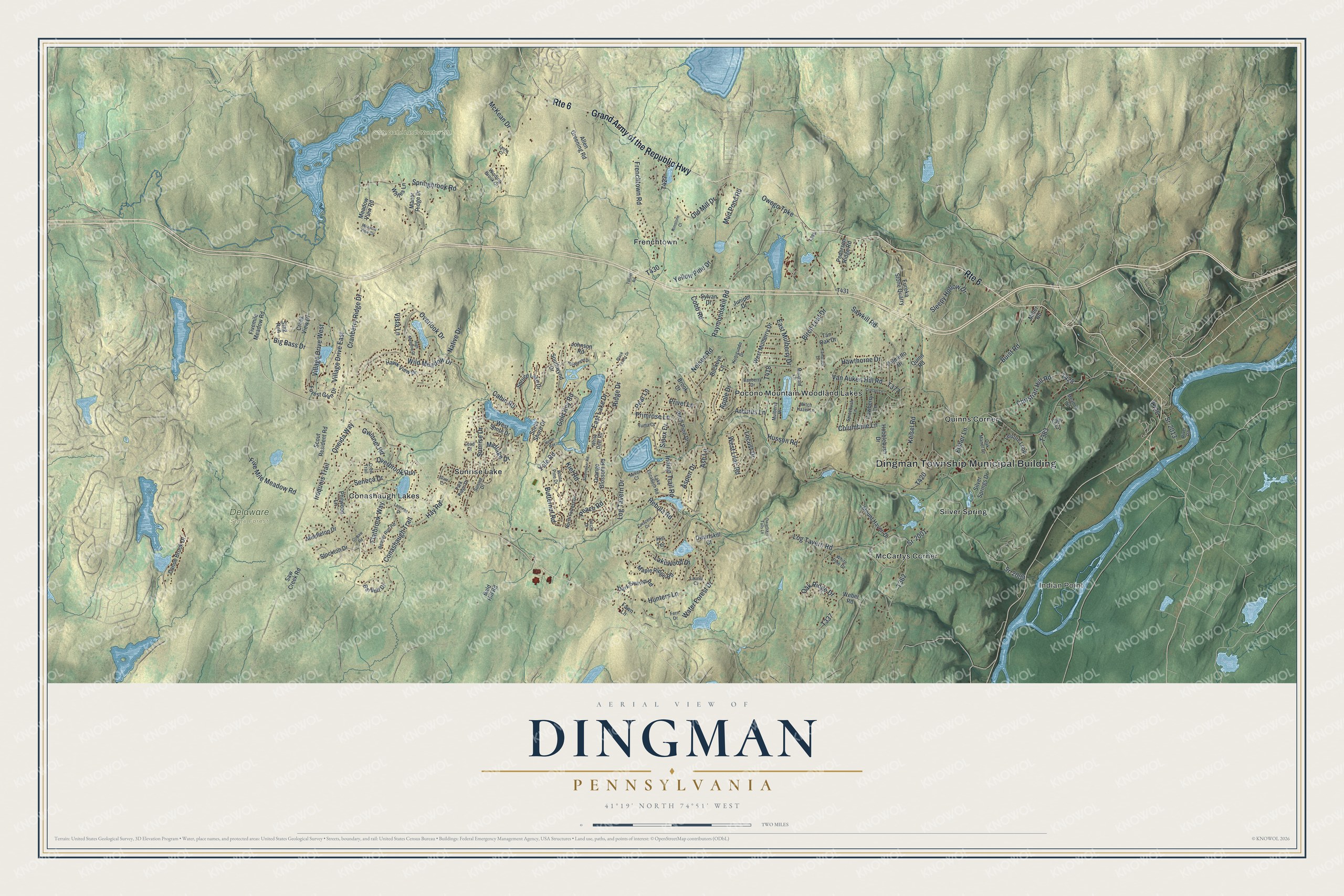
This beautifully detailed map of Dingman, Pennsylvania was created in 2026 using aerial imagery combined with modern topographical, census, street and landmark data. It’s a one-of-a-kind view of Dingman that combines accurate data with a vintage aesthetic. The map shows every building in its true location, many of the roads carry their names, and the shaded topographic relief shows the shape of the land.
Explore an aerial view of Dingman, Pennsylvania
On the map you’ll find Dingman Township Municipal Building, Indian Point, Delaware State Forest, State Game Lands Number 180, Conashaugh Lakes, Frenchtown, McCartys Corner, Pocono Mountain Woodland Lakes, Quinns Corner, Silver Spring, and Sunrise Lake, along with Grand Army of the Republic Highway, and more. If you look closely you can even find your house accurately drawn in its correct location. Zoom in on the preview to look for yours.
Did you know this piece of Dingman, Pennsylvania history?
From the History of Wayne Pike and Monroe Counties: "Dingman's Ferry, Dingman Creek and Falls were named in honor of the family, and Dingman township was named in honor of the judge."
Take a closer look at the Dingman map
Street and place names on the Dingman, Pennsylvania map
These names are printed on the map of Dingman, Pennsylvania.
Places: Dingman Township Municipal Building, Indian Point, Delaware State Forest, State Game Lands Number 180, Conashaugh Lakes, Frenchtown, McCartys Corner, Pocono Mountain Woodland Lakes, Quinns Corner, Silver Spring and Sunrise Lake.
Streets and roads: Grand Army of the Republic Highway, Route 6, Raymondskill Road, Log Tavern Road, Sawkill Road, Five Mile Meadow Road, Springbrook Road, Gold Key Road, Frenchtown Road, Wild Meadow Drive, Seneca Drive, Sr-2001.
More street names, A to Z
Allen Greening Road, Apple Drive, Arbutus Lane, Ash Lane, Aspen Drive, Bald Hill Road, Bartlett Drive, Bayberry Drive, Beaver Run Road, Big Bass Drive, Birch Leaf Drive, Black Forest Drive, Brook Court, Buckeye Lane, Buist Road, Butternut Road, Cabin Road, Canoe Brook Drive, Christian Hill Road, Circle Drive, Cliff Court, Cobb Road, Columbine Lane, Conashaugh Trail, Cowaw Road, Cowberry Lane, Cranberry Ridge Drive, Creek View Drive, Cree Trail, Crescent Cv, Crocus Lane, Dark Swamp Road, Dwarfskill Court, Dwarfskill Falls Lane, East Lake Drive, East Mulberry Drive, Eureka Stone Quarry, Fawn Lane, Fern Drive, Fisher Lane, Fivemile Meadow Road, Flatbrook Way, Forest Glen Drive, Gwinnet Road, Hawk View Drive, Hawthorne Drive, Hay Road, Hebula Road, Heron Bay, High Meadow Drive, Hill Terrace, Hobblebush Drive, Hunters Lane, Husson Road, Indian Trail Road, Iroquois Trail, Johnson Road, Juniper Drive, Keisel Road, Kiel Road, Kunigunde Drive, Lake Elizabeth Road, Lakewood Drive, Laurel Court, Lead Court, Leisure Loop, Lennepe Drive, Locust Drive, Log Tavern Drive, Lynric Court, Manor Ridge Drive, Maple Ridge Road, Marigold Lane, McKean Drive, Meadow Court, Meadow View Circle, Meadow View Road, Middleton Drive, Midlake Drive, Miller Court, Miller Road, Mount Haven Drive, Mud Pond Road, Mulberry Drive, Native Drive, Nelson Road, North Forrest Drive, Northwynd Drive, Oak Manor Drive, Oak Ridge Drive, Old Mill Drive, Oneida Way, Orange Blossom Road, Overbrook Run, Overlook Drive, Owego Turnpike, Palmetto Drive, Park Ridge Drive, Peach Road, Pear Lane, Pedersen Ridge Road, Philwood Lane, Pitch Pine Drive, Primrose Lane, Privet Lane, Quinn Road, Ridge Drive, Rimstone Court, River Road, Saw Creek Road, Scout Resident Road, Silver Springs Drive, Sioux Drive, Slate Court, Slaymaker Road, Sleepy Hollow Drive, South Shore Drive, Southwynd Drive, Spicebush Lane, Spruce Lake Drive, Sr-2009, Sr-2013, Stag Run, Stockton Drive, Sunrise Drive, Sunset Drive, Sylvan Drive, Tamarack Drive, Tan Oak Drive, Tunnel Road, Van Auken Hill Road, Village Drive East, Village Drive West, Vista Lane, Water Forest Drive, Weber Road, West Lilac Road, West Mulberry Drive, West Shore Drive, White Deer Road, White Pine Court, White Pine Drive, Whites Lane, Winding Brook Drive, Witch Hazel Lane, Yale Road, Yellow Pine Drive, Yuma Court.
See the Dingman, Pennsylvania map on a wall
The Dingman map as an 18 x 24 inch print in a black frame.

This beautifully detailed map of Dingman makes an attractive addition to your office, library, or den, and it can even be used to teach children the geography and history of the area. It also makes a great gift for someone who left Dingman and still calls it home. When you’re done exploring, click here to get your copy of the Dingman map.