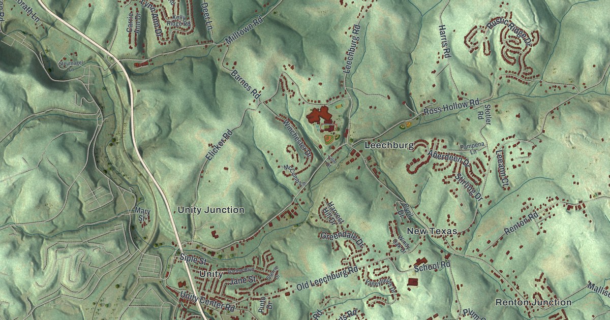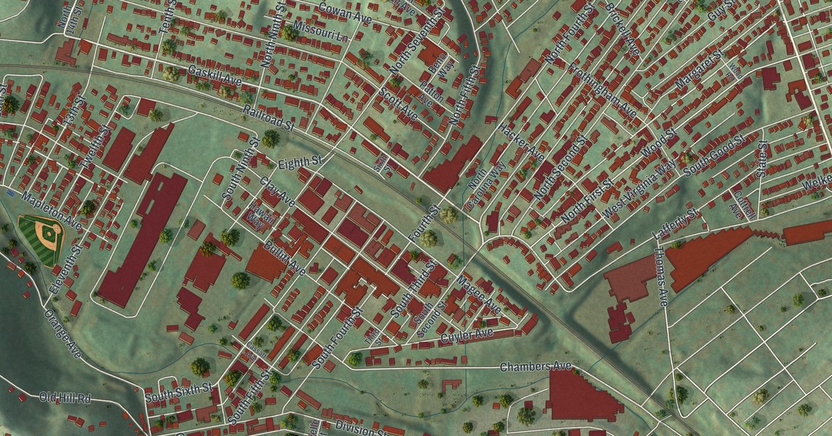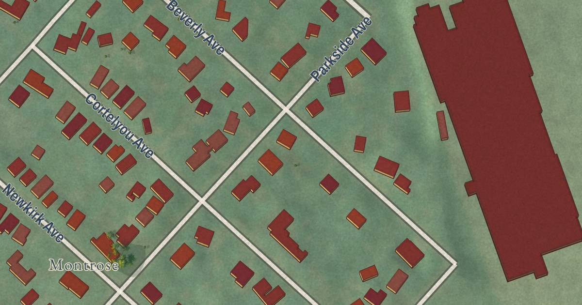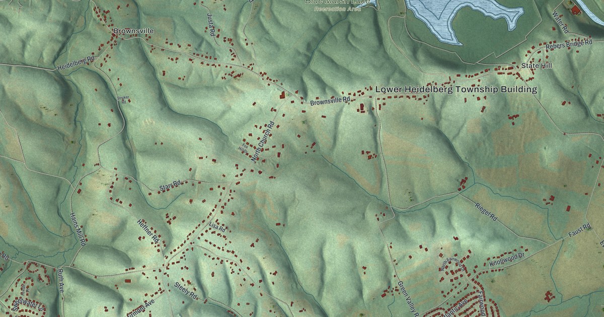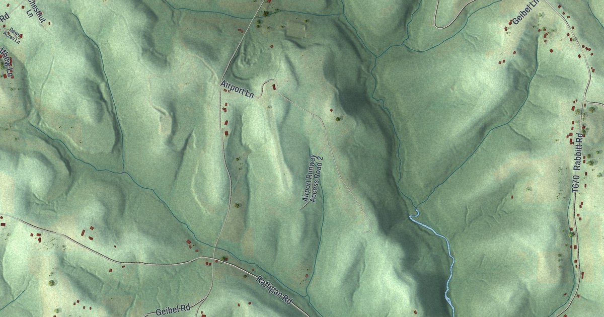
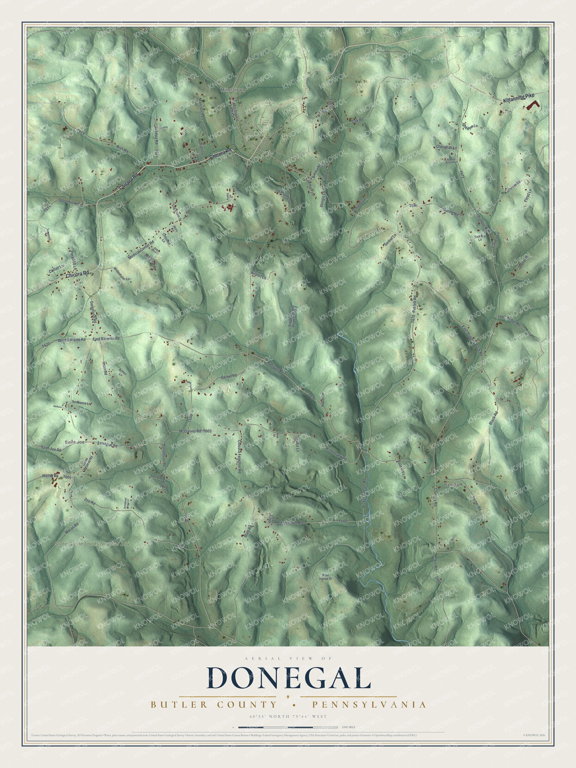
This beautifully detailed map of Donegal, Butler County, Pennsylvania was created in 2026 using aerial imagery combined with modern topographical, census, street and landmark data. It’s a one-of-a-kind view of Donegal that combines accurate data with a vintage aesthetic. The map shows every building in its true location, many of the roads carry their names, and the shaded topographic relief shows the shape of the land.
Explore an aerial view of Donegal, Butler County, Pennsylvania
On the map you’ll find Millerstown, Saint Joe, Rattigan, and State Game Lands Number 164, along with Chicora Road, Kittanning Pike, East Slippery Rock Road, Rattigan Road, Hildebrand Road, McGarvey Road, Conerty Road, and more. If you look closely you can even find your house accurately drawn in its correct location. Zoom in on the preview to look for yours.
Did you know this piece of Donegal, Butler County, Pennsylvania history?
From the History of Butler County: "Donegal township was reduced to its present area. It is one of the oldest settled townships of the county, and was a banner farming district until it became part of the famous oil field of this locality."
Take a closer look at the Donegal, Butler County map
Street and place names on the Donegal, Butler County, Pennsylvania map
These names are printed on the map of Donegal, Butler County, Pennsylvania.
Places: Millerstown, Saint Joe, Rattigan and State Game Lands Number 164.
Streets and roads: Chicora Road, Kittanning Pike, East Slippery Rock Road, Rattigan Road, Hildebrand Road, McGarvey Road, Conerty Road, Landgraf Road, East Danville Road, Donaldson Road, Blatt Road, Kamerer Road.
More street names, A to Z
Acadia Lane, Airport Lane, Airport Runway Access Road-2, Arrowhead Ridge Lane, Arthur Lane, Bachman Lane, Bald Hill Lane, Baptiste Lane, Bear Lane, Bish Road, Black Road, Calvert Lane, Catalpa Road, Chestnut Lane, Chicora Fenelton Road, Collier Lane, Dawe Acres Lane, Doc's Lane, Duffy School Road, Eberhart Lane, Floyd Lane, Gameland Road, Game Reserve Road, Garing Road, Geibel Lane, Geibel Road, George Lane, Graham Lane, Hazel Lane, Hemphill Lane, Henry Lane, Hickey Bottom Road, Hickory Lane, Iman Road, Irwin Road, Jackson, Knoll Lane, Log Cabin Drive, Manculich Lane, Matthew Lane, Medical Center Road, Miller Road, Moran Road, Murray Lane, Oak Road, Odonnell Road, Olenchak Lane, Paradise Lane, Pine Haven Drive, Pontius School Lane, Quetot Drive, Rabbitt Road, Romanelli Lane, Saint Joe Road, Serafine Lane, Shadow Lane, Storgis Lane, Studio Lane, Sumney Lane, Sundance Lane, Trimbur Road, Turner Road, Waltman Lane, Welter Road, West Danville Road, West Slippery Rock Street, Widenhofer Lane, Zoo Road.
See the Donegal, Butler County, Pennsylvania map on a wall
The Donegal, Butler County map as an 18 x 24 inch print in a black frame.

This beautifully detailed map of Donegal, Butler County makes an attractive addition to your office, library, or den, and it can even be used to teach children the geography and history of the area. It also makes a great gift for someone who left Donegal and still calls it home. When you’re done exploring, click here to get your copy of the Donegal, Butler County map.