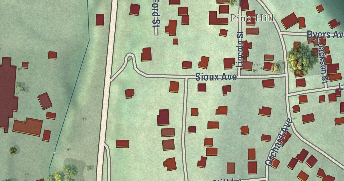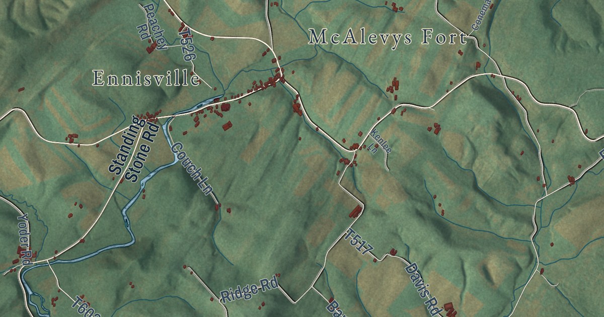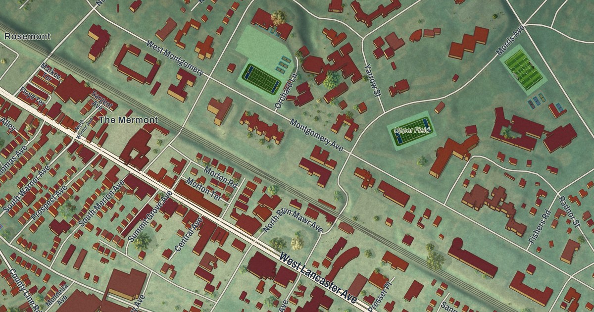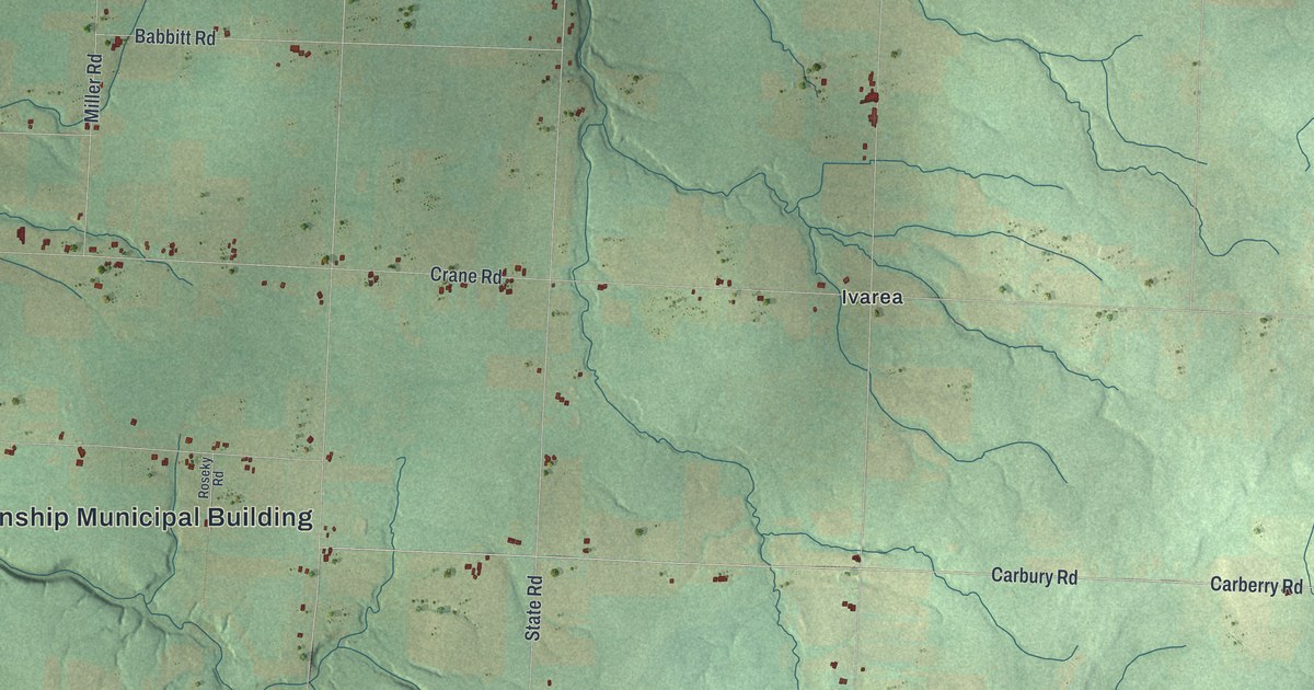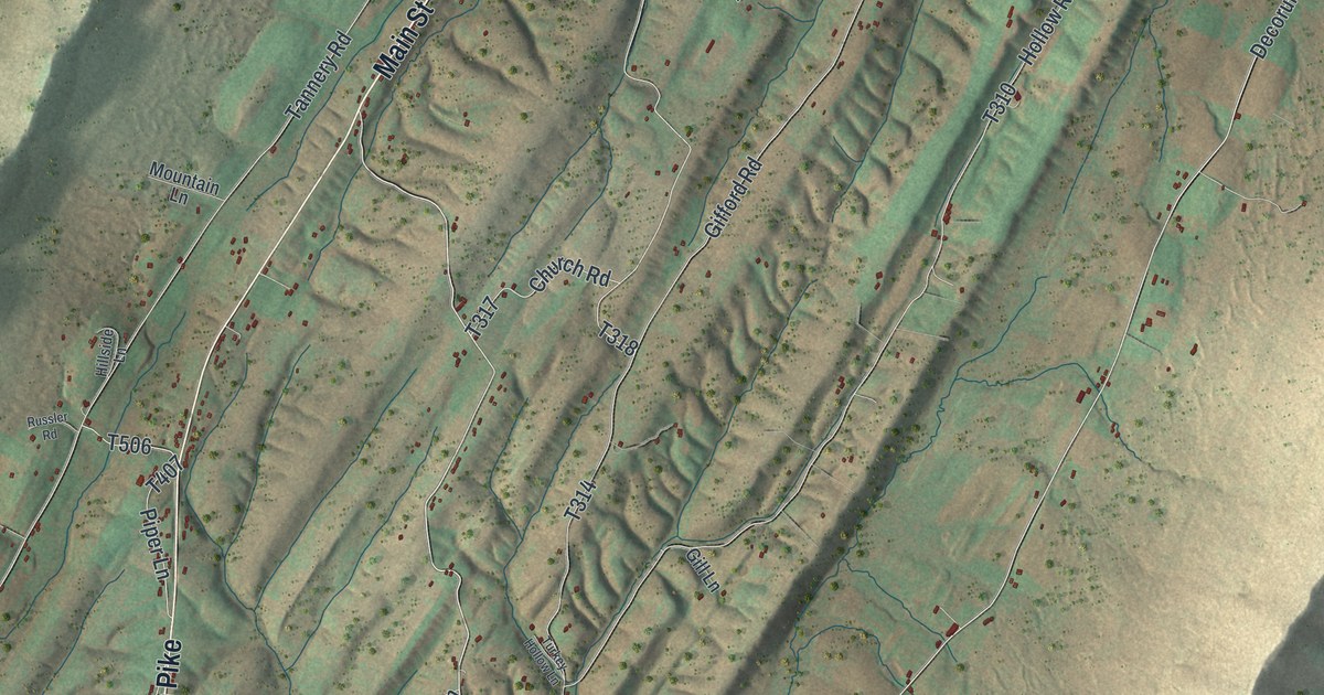
This beautifully detailed map of Dublin, Huntingdon County, Pennsylvania was created in 2026 using aerial imagery combined with modern topographical, census, street and landmark data. It’s a one-of-a-kind view of Dublin that combines accurate data with a vintage aesthetic. The map shows every building in its true location, many of the roads carry their names, and the shaded topographic relief shows the shape of the land.
Explore an aerial view of Dublin, Huntingdon County, Pennsylvania
On the map you’ll find Dublin Township Municipal Building, Decorum, Mentzer, Neelyton, and Shade Gap, along with Main Street, Shade Valley Road, Croghan Pike, Neelyton Road, Locke Road, Fannettsburg Pike, and more. If you look closely you can even find your house accurately drawn in its correct location. Zoom in on the preview to look for yours.
Did you know this piece of Dublin, Huntingdon County, Pennsylvania history?
Dublin Township pioneer Alexander McElroy crossed Tuscarora Mountain with his family one winter. The snow had a frozen crust thick enough to hold a horse. At the top he tied up his feather bed, the bulk of his goods, and rode it as a sled. Holding their small child, he slid safely down. It became known as McElroy’s ride. That’s from the 1883 History of Huntingdon and Blair Counties, Pennsylvania.
Take a closer look at the Dublin, Huntingdon County map
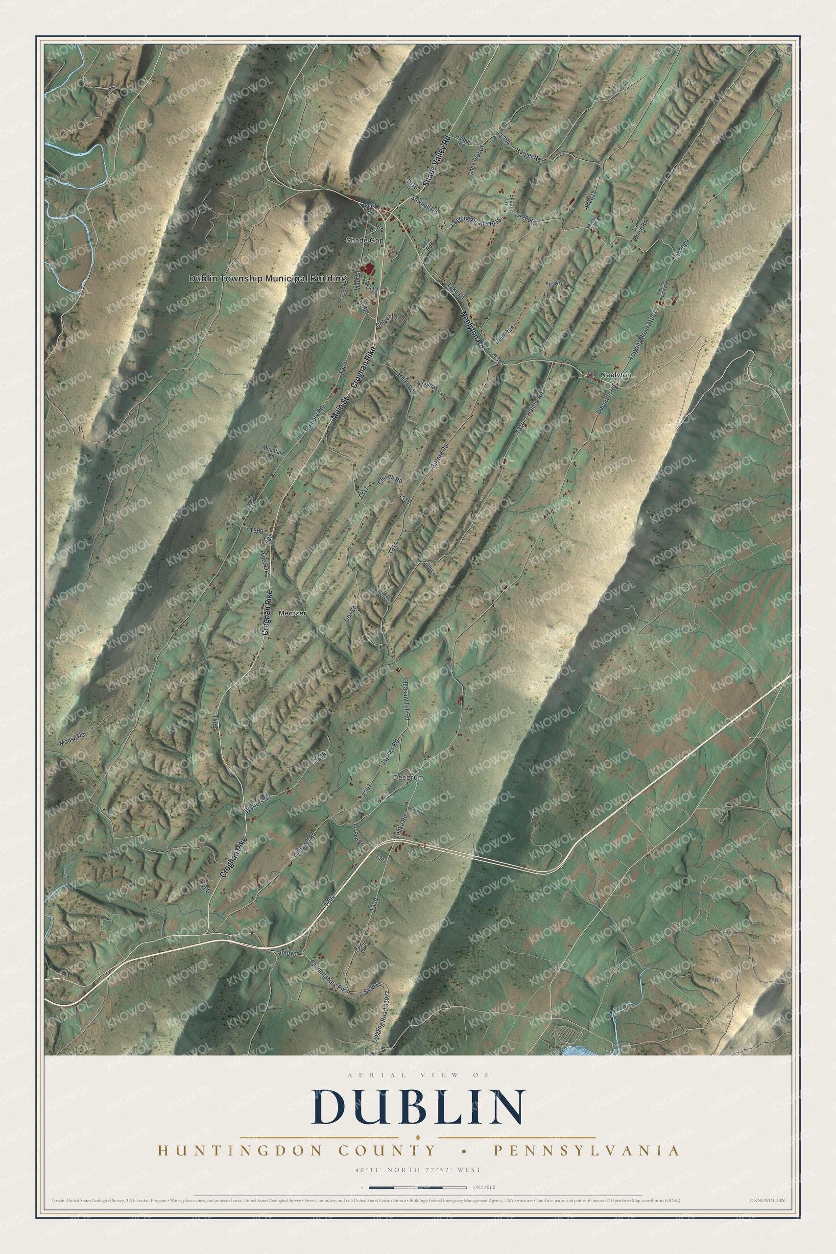
Street and place names on the Dublin, Huntingdon County, Pennsylvania map
These names are printed on the map of Dublin, Huntingdon County, Pennsylvania.
Places: Dublin Township Municipal Building, Decorum, Mentzer, Neelyton and Shade Gap.
Streets and roads: Main Street, Shade Valley Road, Croghan Pike, Neelyton Road, Locke Road, Fannettsburg Pike, Sr2018, Sr1010, Harper Road, Sr2009, Logging Road 31015, Sawmill Road.
More street names, A to Z
Air Port Road, Bank Street, Chevrolet Drive, Church Road, Colyer Lane, Cox Lane, Decorum Road, Deer Run, Dell Road, Fawn Lane, Gifford Road, Gill Lane, Harpers Road, Hemlock Lane, Hillside Lane, Hollow Road, Jaymes Road, Kyzer Lane, Lake Lane, Logging Road 31001, Logging Road 31077, Miller Road, Moose Road, Mountain Lane, Mount Foot Road, Odonnel Road, Parsons Farm Lane, Piper Lane, Pleasant Hill Road, Pr Drive, Russler Road, Shoop Lane, Sr2006, Sr2013, Tannery Road, Thomas Lane, Turkey Hollow Lane, Van Buren Road, Watters Road, Wiley Street.
See the Dublin, Huntingdon County, Pennsylvania map on a wall
The Dublin, Huntingdon County map as an 18 x 24 inch print in a black frame.

This beautifully detailed map of Dublin, Huntingdon County makes an attractive addition to your office, library, or den, and it can even be used to teach children the geography and history of the area. It also makes a great gift for anyone with Dublin roots. When you’re done exploring, click here to get your copy of the Dublin, Huntingdon County map.