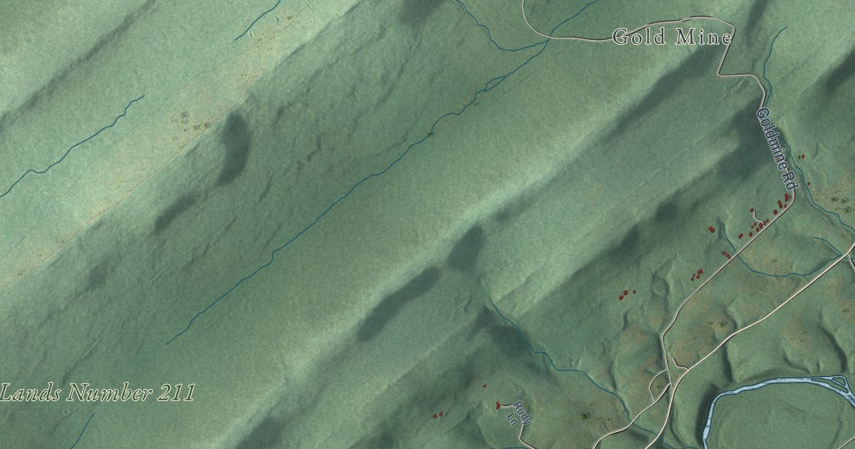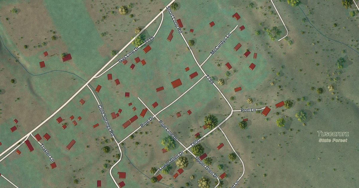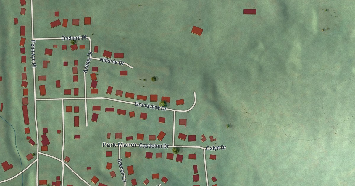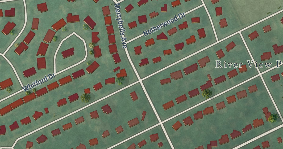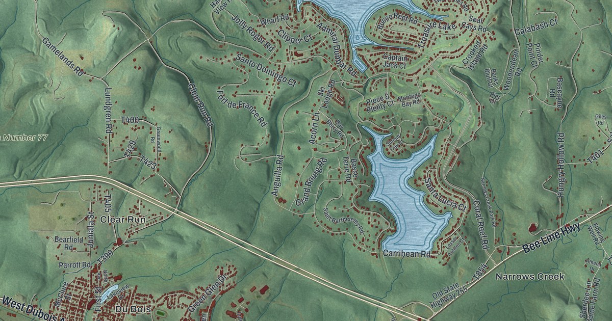
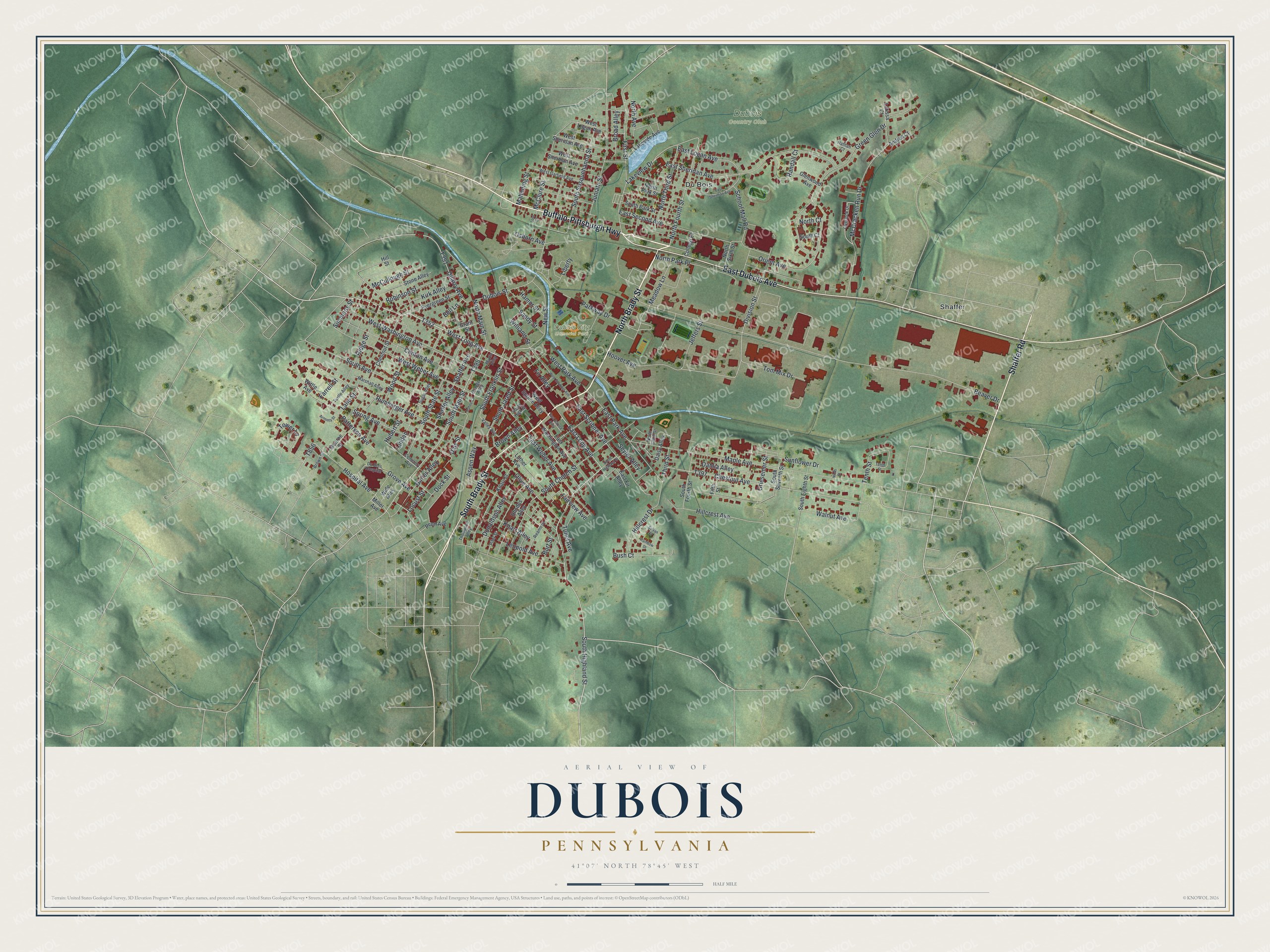
This beautifully detailed map of DuBois, Pennsylvania was created in 2026 using aerial imagery combined with modern topographical, census, street and landmark data. It’s a one-of-a-kind view of DuBois that combines accurate data with a vintage aesthetic. The map shows every building in its true location, many of the roads carry their names, and the shaded topographic relief shows the shape of the land.
Explore an aerial view of DuBois, Pennsylvania
On the map you’ll find Moshannon State Forest, State Game Lands Number 77, Adrian Furnace, Clear Run, Eriton, Gelnett, Iselin Heights, Narrows Creek, Oklahoma, Sabula, Sandy, and more. If you look closely you can even find your house accurately drawn in its correct location. Zoom in on the preview to look for yours.
Did you know this piece of DuBois, Pennsylvania history?
From LivingPlaces: "A portion of the community was first named for John Rumbarger who purchased 250 acres of land in 1865. The first post office was called Rumbarger for two years beginning in 1874."
Take a closer look at the DuBois map
Street and place names on the DuBois, Pennsylvania map
These names are printed on the map of DuBois, Pennsylvania.
Places: Dubois Country Club, Dubois City Memorial Park, Du Bois and Shaffer.
Streets and roads: East Dubois Avenue, North Brady Street, Buffalo-Pittsburgh Highway, Shaffer Road, South Brady Street, West Long Avenue, South Highland Street, East Long Avenue, South Franklin Street, North Fourth Street, Donaldson Alley, Hoover Avenue.
More street names, A to Z
Andrea Court, Arminta Street, Aspen Way, Beaver Drive, Bell Lane, Broad Alley, Brown Alley, Brown Street, Burt Street, Bush Court, Cemetery Avenue, Chestnut Avenue, Chestnut Street, Clinton Avenue, College Place, Dahlia Alley, Daisy Alley, Daly Street, Division Street, Dock Street, Du Bois Hospital, Dubois Street, East Fir Alley, East Logan Avenue, East Park Avenue, East Scribner Avenue, East Second Avenue, East Sheridan Avenue, East Sherman Avenue, East Spruce Alley, East Washington Avenue, East Weber Avenue, Evergreen Street, Fairview Avenue, Farrell Street, Fifth Street, Fir Alley, First Street, Ginter Alley, Glenwood Avenue, Grant Street, Green Glen Drive, Griesemer Street, Grove Avenue, Hahne Court, Hamor Street, Hillcrest Avenue, Hillcrest Drive, Hill Street, Hospital Avenue, Hubert Street, Jeffers Street, Juniata Street, Kirk Alley, Knarr Alley, Knarr Street, Lakeside Avenue, Lakeview Drive, Lane Street, Larissa Court, Leopold Avenue, Liberty, Linden, Locust Street, Lord Street, Luther Avenue, Mahoning Street, Maple Avenue, Marshall Alley, McClure Street, McCracken Run Drive, McCullough Street, Meadow Lane, Miller Avenue, Monroe Street, Myrtle Alley, Nathan Court, New Street, Ninth Street, North Avenue, North Clark Street, North Court, North Highland Street, North Main Street, North Park Place, North Park Street, North Sixth Street, North Third Street, Olive Avenue, Orange Alley, Orient Avenue, Osborn Avenue, Overlook Drive, Parkway Drive, Patterson Avenue, Penn Avenue, Pifer Street, Quarry Avenue, Rainbow Drive, Randall Court, Reams Street, Rhodes Alley, Ridge Street, Robinson Street, Rumbarger Avenue, Sandy Street, School Mall Road, Seyler Alley, Shaffer Alley, Shaffer Avenue, Simmons Street, South Avenue, South Church Street, South Court, South Eighth Street, South Fourth Street, South High Street, South Jared Street, South Main Street, South Park Street, South Seventh Street, South State Street, South Susquehanna Street, Spring Avenue, Stone Alley, Sugar Alley, Sunflower Drive, Sylvan Drive, Tenth Street, Third Street, Thompson Alley, Tom Mix Drive, Tower Lane, Tunel Avenue, Turtle Alley, Valley Avenue, Walnut Avenue, West Garfield Avenue, West Logan Avenue, West Park Avenue, West Scribner Avenue, West Sheridan Avenue, West Sherman Avenue, West Spruce Alley, West Washington Avenue, West Weber Avenue, Wide Alley, Williams Street, Wittle Avenue, Wood Street.
See the DuBois, Pennsylvania map on a wall
The DuBois map as an 18 x 24 inch print in a black frame.

This beautifully detailed map of DuBois makes an attractive addition to your office, library, or den, and it can even be used to teach children the geography and history of the area. It also makes a great gift for someone who left DuBois and still calls it home. When you’re done exploring, click here to get your copy of the DuBois map.