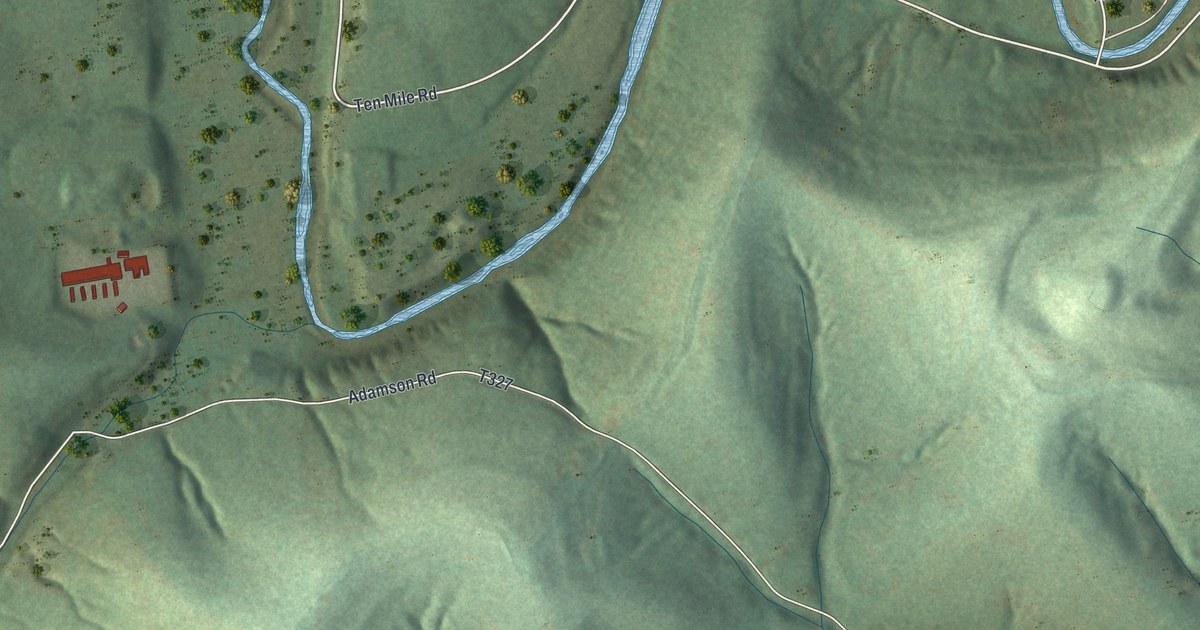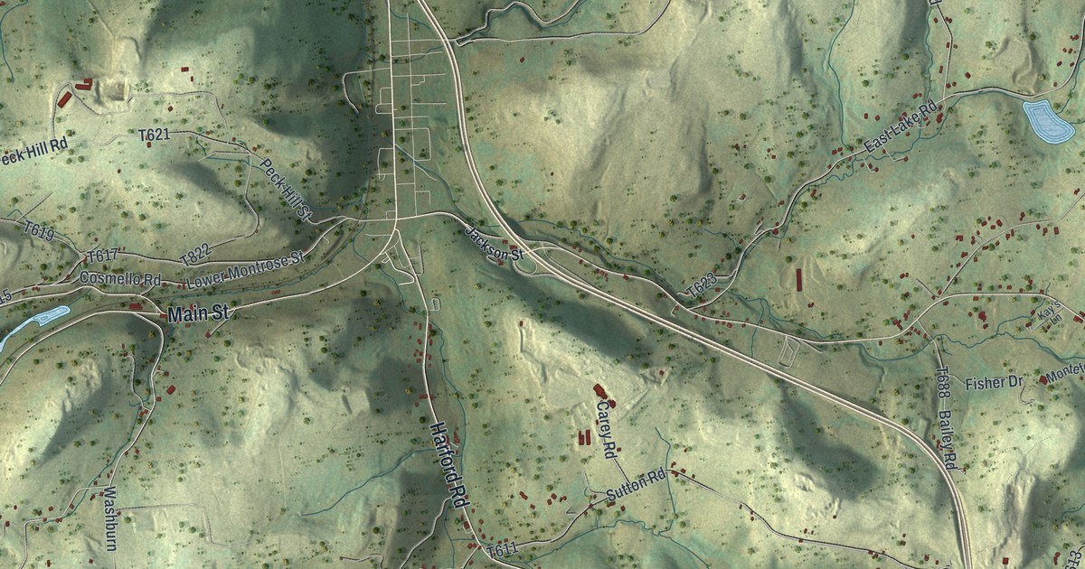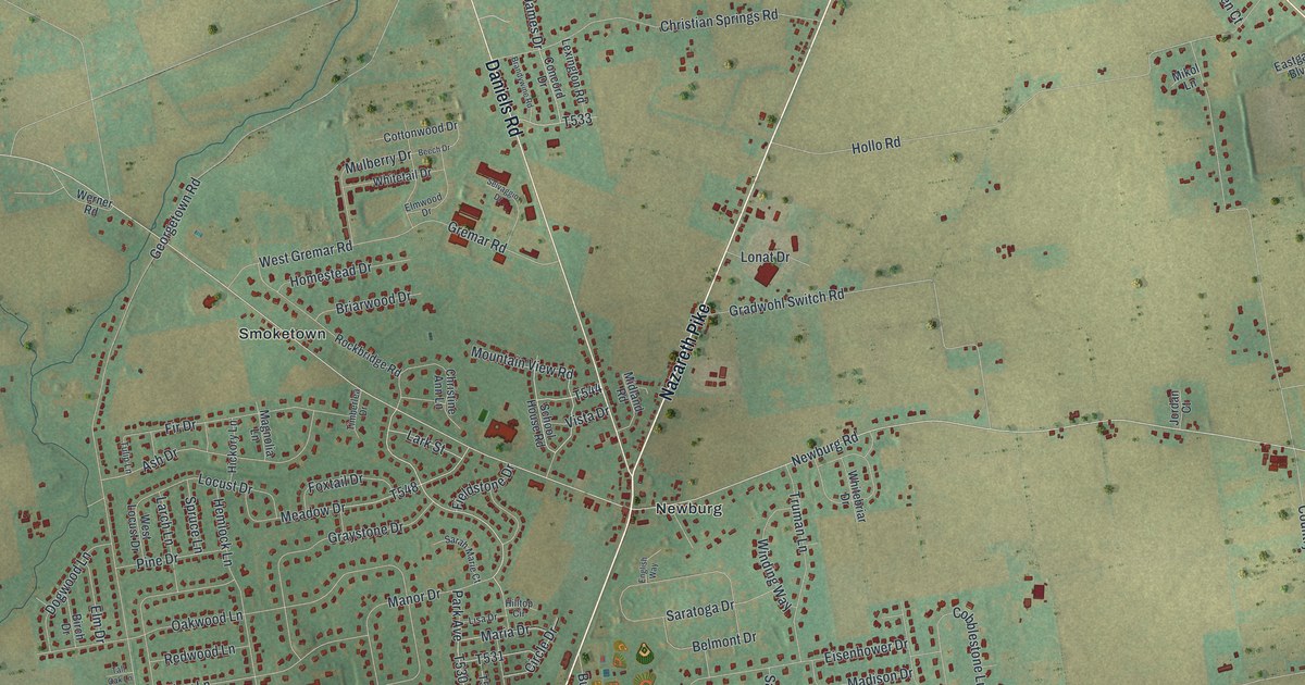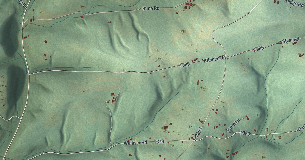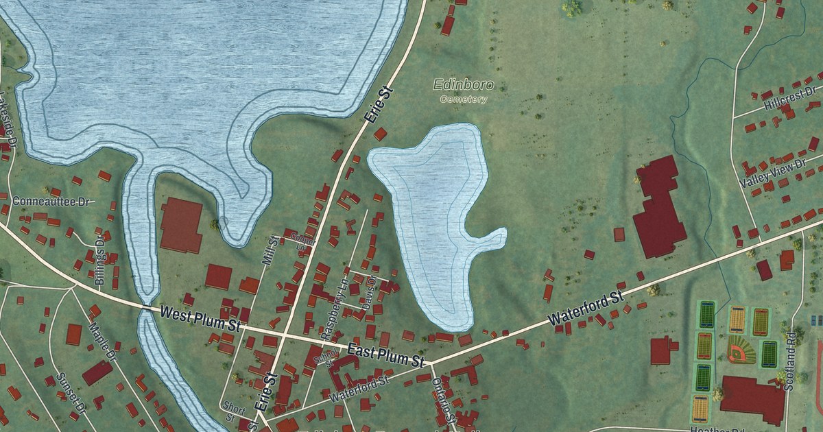
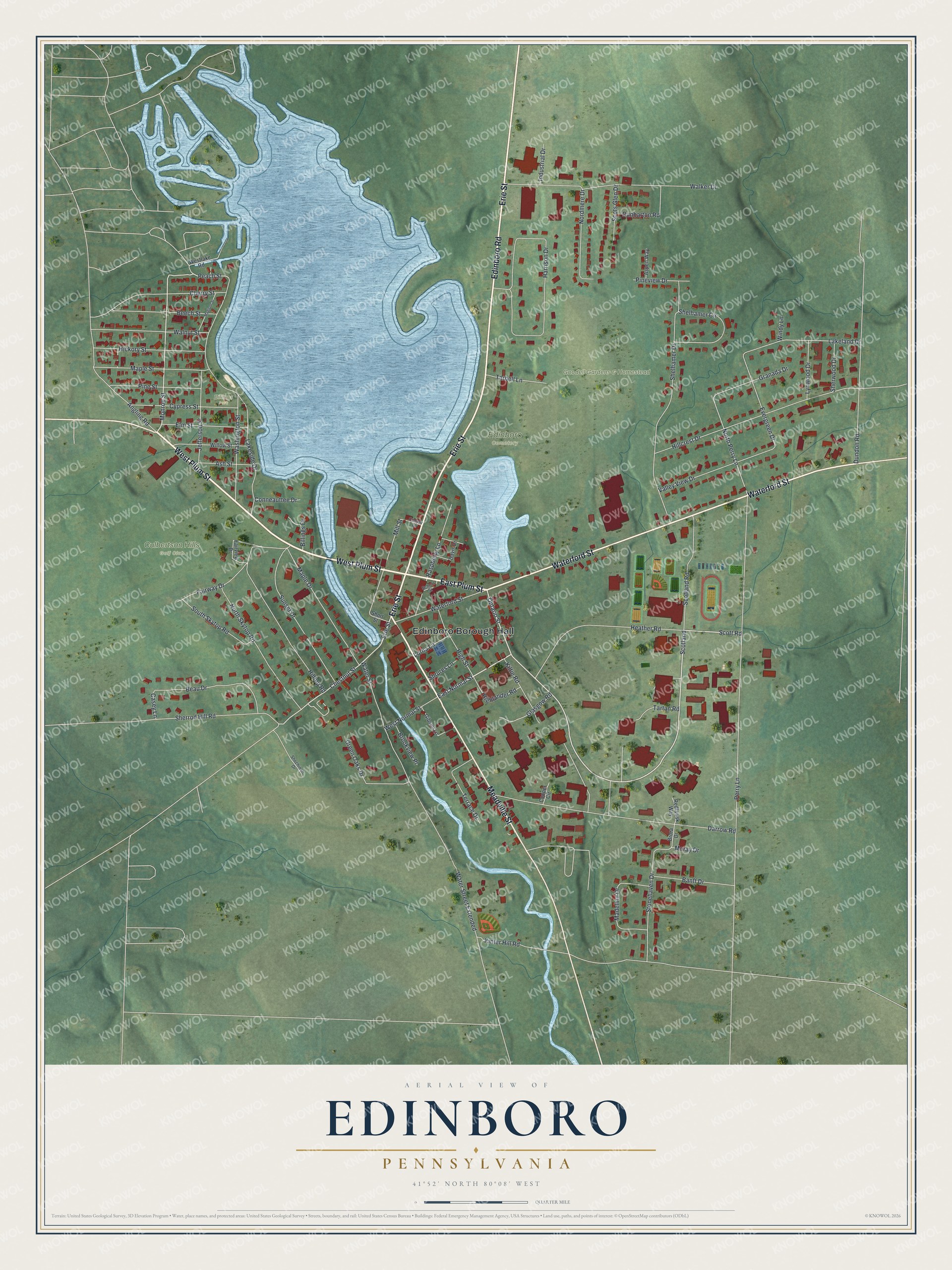
This beautifully detailed map of Edinboro, Pennsylvania was created in 2026 using aerial imagery combined with modern topographical, census, street and landmark data. It’s a one-of-a-kind view of Edinboro that combines accurate data with a vintage aesthetic. The map shows every building in its true location, many of the roads carry their names, and the shaded topographic relief shows the shape of the land.
Explore an aerial view of Edinboro, Pennsylvania
On the map you’ll find Edinboro Borough Hall, Culbertson Hills Golf Club, Edinboro Cemetery, Goodell Gardens & Homestead, and Billings Park, along with West Plum Street, East Plum Street, Waterford Street, Edinboro Road, Meadville Street, Erie Street, East Normal Street, and more. If you look closely you can even find your house accurately drawn in its correct location. Zoom in on the preview to look for yours.
Did you know this piece of Edinboro, Pennsylvania history?
From the 1884 History of Erie County, Pennsylvania: "The first named was built in 1843, on the site of one that burned down, and was run by A. Robinson from 1852 to 1883, when he sold it to W. Bennett."
Take a closer look at the Edinboro map
Street and place names on the Edinboro, Pennsylvania map
These names are printed on the map of Edinboro, Pennsylvania.
Places: Edinboro Borough Hall, Culbertson Hills Golf Club, Edinboro Cemetery, Goodell Gardens & Homestead and Billings Park.
Streets and roads: West Plum Street, East Plum Street, Waterford Street, Edinboro Road, Meadville Street, Erie Street, East Normal Street, Ontario Street, Scotland, Monroe Street, Chestnut Street, Peach Street.
More street names, A to Z
Angling Road, Ash Street, Aspen Way, Banff Drive, Beau Drive, Beech Street, Billings Drive, Brookview Place, Brora Drive, Casey Lane, Cherry Street, Conneauttee Drive, Cooper Circle, Cooper Lane, Cypress Street, Darrow Road, Davis Drive, Dunbarton Road, Dundon Road, Elm Street, Evergreen Drive, Fairview Drive, Fairway Drive, Gibson Lane, Glasgow Road, Granada Drive, Green Oaks Drive, Harrison Drive, Heather Road, Hickory Street, Highlander Road, High Street, Hillcrest Drive, Hilltop Road, Industrial Drive, Jefferson Street, Kiltie Road, Kinter Hill Road, Lakeland Drive, Lakeside Drive, Lorna Lane, Lynwood Drive, Madeline Drive, Madison Street, Maple Drive, Maple Street, Mill Street, Moray Drive, Nordmere Drive, North Perry Lane, North Skytop Road, Perry Lane, Pine Street, Pineview Drive, Raspberry Lane, Redlawsk Way, School Street, Scotland Road, Scots Glen Drive, Scott Road, Shechinah Drive, Shelhamer Circle, Shelhamer Drive, Sherrod Hill Road, Sherwood Drive, Short Street, Shrures Lane, South Skytop Road, Stonehaven Drive, Sunset Drive, Tarbell Lane, Tartan Road, Terrace Drive, Valley View Drive, Walker Drive, Walnut Street, Washington Street, Water Street, Water Street Extended, Westlake Road, West Normal Street, Willow Street, Windy Lane.
See the Edinboro, Pennsylvania map on a wall
The Edinboro map as an 18 x 24 inch print in a black frame.

This beautifully detailed map of Edinboro makes an attractive addition to your office, library, or den, and it can even be used to teach children the geography and history of the area. It also makes a great gift for someone who left Edinboro and still calls it home. When you’re done exploring, click here to get your copy of the Edinboro map.