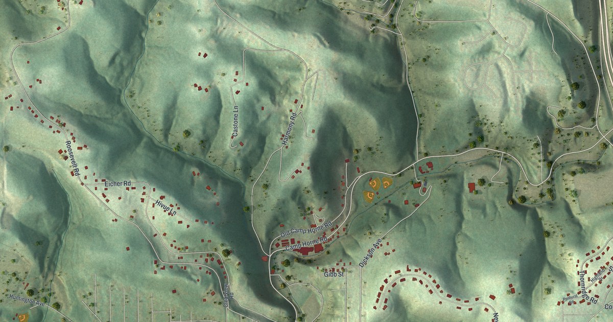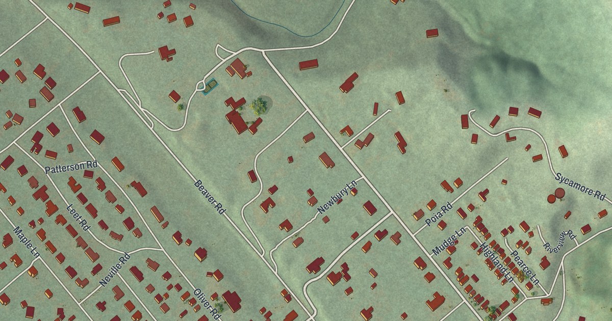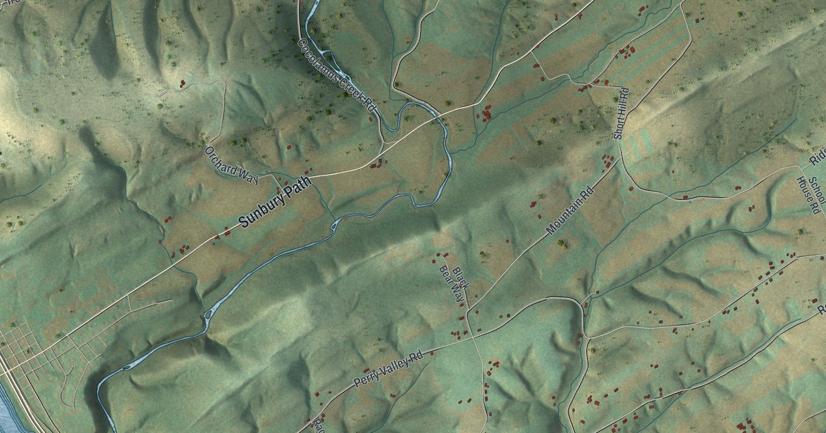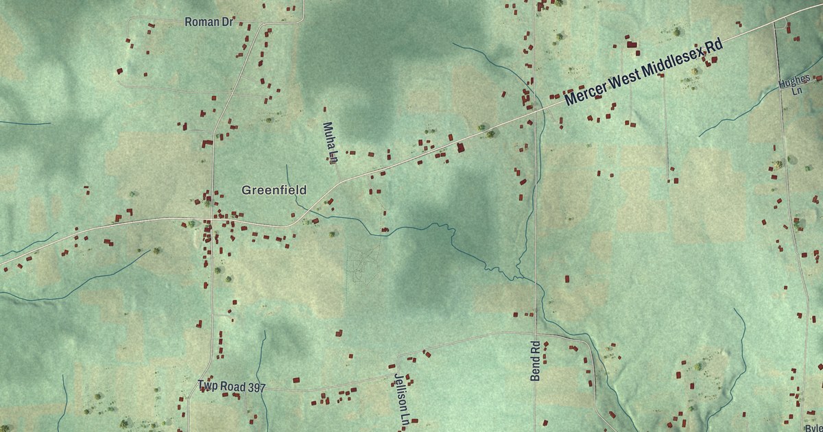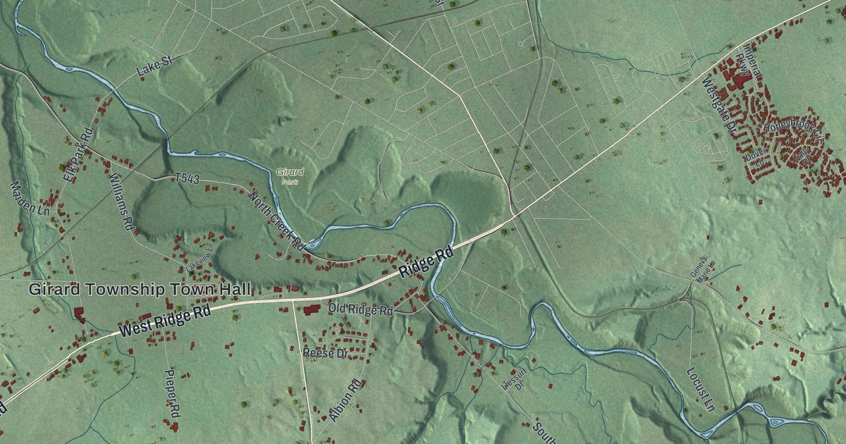
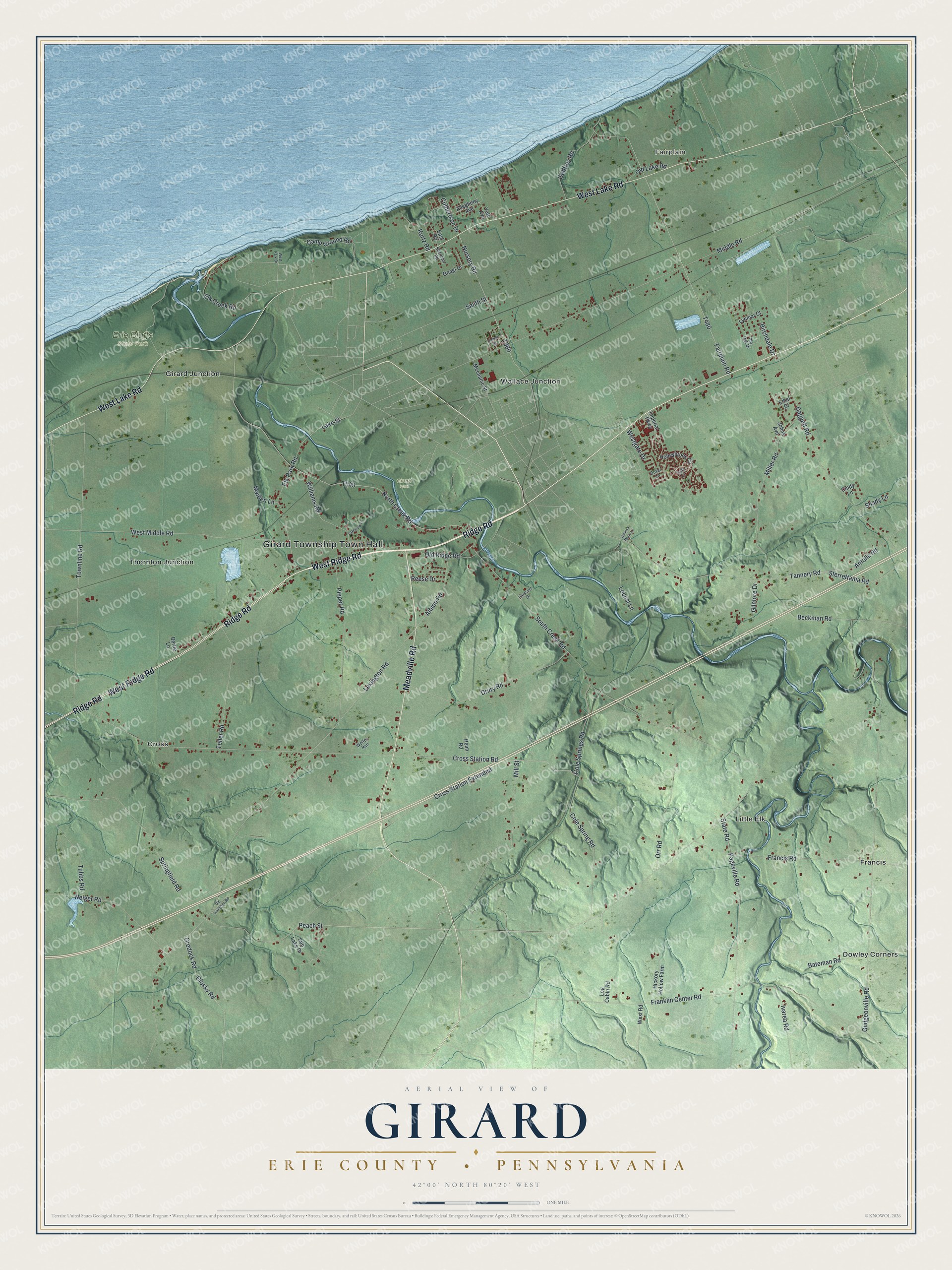
This beautifully detailed map of Girard Township, Erie County, Pennsylvania was created in 2026 using aerial imagery combined with modern topographical, census, street and landmark data. It's a modern aerial view of Girard Township, Erie County in Erie County, Pennsylvania, that combines modern data with a vintage aesthetic. The roads feature printed names, and if you look closely you can find your exact house accurately shown in its correct location.
Explore an aerial view of Girard Township, Erie County, Pennsylvania
On this map you'll find Girard Township Town Hall, Fairplain, Little Elk, Erie Bluffs State Park, Girard Park, Cross, Dowley Corners, Francis, Girard Junction, Thornton Junction, Wallace Junction, Ridge Road, and more. Each red shape is a building, so zoom in on the preview and look for yours.
Every town has a first chapter, and Girard Township, Erie County is no exception. The Internet Archive puts it this way: "Asa Battles (our subject), at the early age of twenty years, engaged in mercantile
business, conducting one of the largest stores in the place."
Girard Township, Erie County is a place in Erie County. The Census Bureau counted 4,869 people here in 2020.
Take a closer look at the Girard Township, Erie County map
Names on this map
These names are printed on this map.
Places: Girard Township Town Hall, Fairplain, Little Elk, Erie Bluffs State Park, Girard Park, Cross, Dowley Corners, Francis, Girard Junction, Thornton Junction and Wallace Junction.
Streets and roads: Ridge Road, West Ridge Road, Meadville Road, West Lake Road, Peach Street, Cole Springs Road, Tannery Road, Nursery Road, South Creek Road, Cross Station Road, Lexington Road, Gudgeonville Road.
More street names, A to Z
Albion Road, Allegheny Avenue, Antolik Road, Bateman Road, Beckman Road, Bertie Lane, Birchdale Drive, Camp Ground Road, Center Street, Cindy Lane, Cole Spring Road, Cross Station Extended, Culbertson Drive, Daggett Road, Dover Lane, Drury Road, East Road, Elk Creek Road, Elk Park Road, Ethel Drive, Fairplain Road, Francis Road, Franklin Center Road, Geneva Marie Lane, Gilmore Drive, Glosky Road, Gnagi Drive, Godfrey Road, Heim Road, Hickory Hollow Farm, Honeybrook Circle, Imperial Parkway, Ivarea Road, Johns Avenue, Kurtz Road, Lake Street, Lakeview Lane, Llessurt Drive, Locust Lane, Log Cabin Road, Lynmar Court, Maiden Lane, Mechanic Street, Middle Road, Miller Road, Mill Street, Neiger Road, North Creek Road, Old Lake Road, Old Lexington Road, Old Ridge Road, Oredock Road, Orr Road, Pageville Road, Pieper Road, Pin Oak Drive, Reese Drive, Shady Lane, Sherman Road, Smith Street, Springfield Road, State Road, Sterrettania Road, Sun Lake Drive, Tally Court, Teller Road, Townline Road, Tubbs Road, Westgate Drive, West Middle Road, West Park Drive, West Road, Williams Road, Wolfes Run, Yale Avenue.
Created by KNOWOL in 2026. The buildings are small red shapes, the roads carry their printed names, and shaded relief shows the shape of the land. The title panel reads "AERIAL VIEW OF GIRARD ERIE COUNTY • PENNSYLVANIA" with 4, 2, °, 0, 0, ', , N, O, R, T, H, , 8, 0, °, 2, 0, ', , W, E, S, T.
Hang it in the hallway, the office or the cabin, or give it to someone who left Girard Township, Erie County and still calls it home. Open the preview and look for a street you know. See sizes and frames for the Girard, Erie County map.