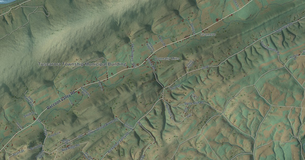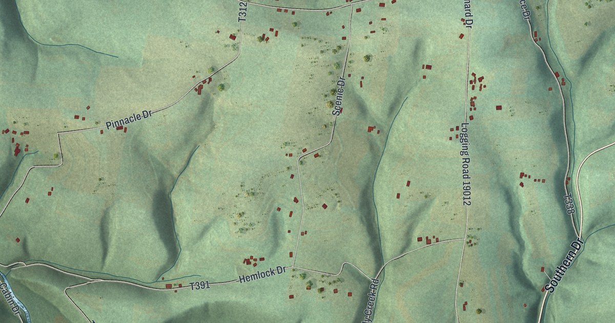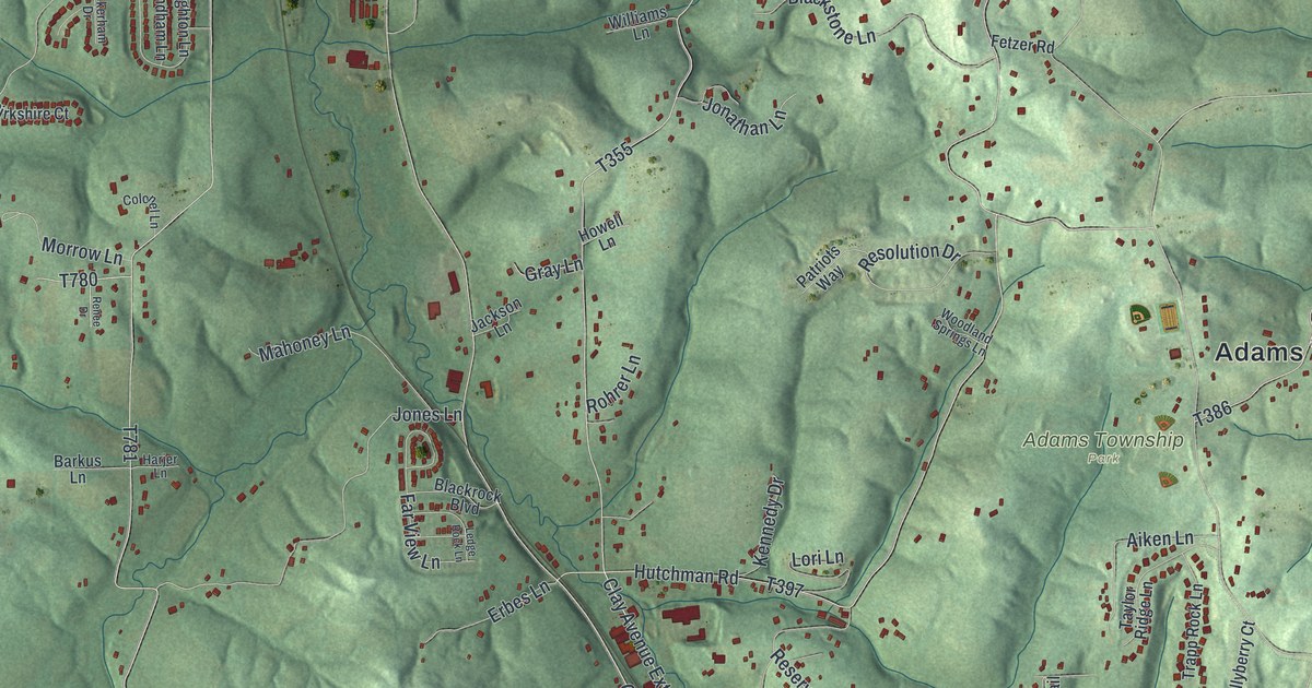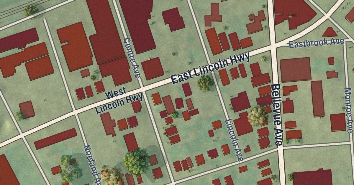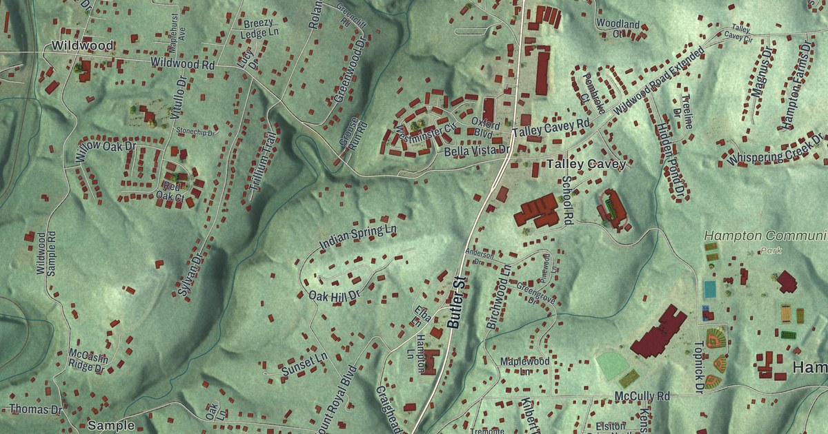
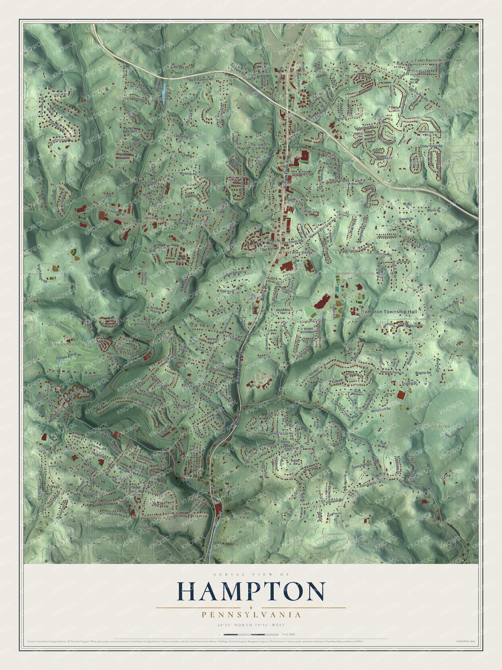
This beautifully detailed map of Hampton, Pennsylvania was created in 2026 using aerial imagery combined with modern topographical, census, street and landmark data. It’s a one-of-a-kind view of Hampton that combines accurate data with a vintage aesthetic. The map shows every building in its true location, many of the roads carry their names, and the shaded topographic relief shows the shape of the land.
Explore an aerial view of Hampton, Pennsylvania
On the map you’ll find Hampton Township Hall, Hardy, Allison Park, Bryant, Hampton Community Park, Hartwood Acres, North Park, Fawn Haven Number Two, Sample, Talley Cavey, Wildwood, Wildwood Golf Club, and more. If you look closely you can even find your house accurately drawn in its correct location. Zoom in on the preview to look for yours.
Did you know this piece of Hampton, Pennsylvania history?
From Hampton Township: "The Honorable Moses Hampton, LLD, a well respected judge and member of Congress, signed incorporation documents in 1861 and Hampton Township became a municipal entity encompassing parts of Indiana, McCandless and West Deer Townships."
Take a closer look at the Hampton map
Street and place names on the Hampton, Pennsylvania map
These names are printed on the map of Hampton, Pennsylvania.
Places: Hampton Township Hall, Hardy, Allison Park, Bryant, Hampton Community Park, Hartwood Acres, North Park, Fawn Haven Number Two, Sample, Talley Cavey, Wildwood and Wildwood Golf Club.
Streets and roads: William Flynn Highway, Butler Street, West Hardies Road, Lakewood Road, Wildwood Road, Hardies Road, Walters Road, Center Avenue, Locust Lane, Winchester Drive, Fawn Haven Drive, Harlo Drive.
More street names, A to Z
Allison Drive, Alpha Drive, Amleth Drive, Anderson Drive, Andrews Drive, Ankeny Drive, Antler Drive, Apache Court, Apple Ridge Drive, Arizona Drive, Arnold Avenue, Ash Drive, Ashland Court, Ashmont Drive, Auld Avenue, Au Sable Drive, Bank School Road, Beauland Drive, Beechwood Drive, Bella Vista Drive, Ben Herr Street, Big Rock Road, Birchwood Lane, Bonita Drive, Bordeaux Lane, Branding Place, Breezy Ledge Lane, Bristol Court, Bronwyn Court, Bryant Road, Buckboard Trail, Bucktail Drive, Buck Tail Drive, California Drive, Camberly Drive, Canterbury Drive, Carolann Drive, Carriage House Drive, Carson Drive, Carterton Drive, Cashlie Court, Catherine Drive, Cedar Ridge Road, Cedar Run Road, Cella Avenue, Chardonnay Circle, Cherry Street, Chessman Street, Christopher Drive, Church Lane, Circle Drive, Clareville Drive, Clarkland Avenue, Clearview Road, Cohasset Lane, Coldwater Drive, Cole Avenue, Country Lane, Coventry Court, Coventry Drive, Craighead Road, Cramlington Drive, Cummings Drive, Dagenhardt Road, Deer Run Road, Delo Drive, Deveny Drive, Dogwood Drive, Dolphin Drive, Drake Court, Duncan Avenue, East Bardonner Road, East Hardies Road, Elba Lane, Elfinwild Road, Elgro Road, Elm Drive, Elmhurst Avenue, Elsiton Drive North, Fairfield Court, Farmview Drive, Fawn Lane, Felicity Avenue, Ferguson Road, Fernwood Lane, Field Acres Drive, Flat Stone Court, Florence Drive, Forest Avenue, Forest Glen Drive, Forest Lane, Fox Run Road, Francis Drive, Gibson Road, Gittings Drive, Glades Drive, Gloria Road, Grand Avenue, Grandeur Drive, Grandview Drive, Graphic Drive, Gray Ridge Road, Greencliff Road, Greenfield Road, Green Glade Court, Greengrove Drive, Green Valley Drive, Greenwood Drive, Grouse Run Road, Gwynedd Drive, Haberlein Road, Hamlet Drive, Hampton Avenue, Hampton Farms Drive, Hampton Lane, Hampton Oaks Drive, Hanna Way, Hardt Road, Harts Run Road, Hartswood Drive, Harvest Lane, Hemlock Drive, Henrich Farm Lane, Herron Road, Hickory Street, Hidden Pond Drive, Highland Avenue, Hill Road, Hitching Post Drive, Indian Spring Lane, Isabella Avenue, John Giel Drive, Josephine Drive, Jupiter Drive, Kahn Avenue, Kenson Drive, Kilbert Drive, Kilcairn Lane, King Road, Kirk Avenue, Kramer Road, Lah Road, Lake Avenue, Lakemont Road, Lakeview Drive, Lakewood Drive, Lampl Lane, Laurel Lane, Laurel Oak Drive, Laurel Ridge Drive, Lee Drive, Lee Manor Drive, Legendary Lane, Le Gran Drive, Leroy Drive, Letort Lane, Linden Drive, Linwood Drive, Long Meadow Drive, Loreland Road, Lucy Drive, Lynnhaven Drive, Mae Drive, Magnus Drive, Maine Drive, Mallard Drive, Maplehurst Avenue, Maple Lane, Maplewood Lane, Marie Drive, Maryville Drive, McAlister Farm Lane, McCaslin Ridge Drive, McCully Road, McIntyre Avenue, McKee Drive, McNeal Road, Meadow Crest Drive, Meadowridge Lane, Meyers Lane, Middle Road, Miller Drive, Mina Drive, Mohawk Drive, Morningside Drive, Mount Royal, Mount Royal Boulevard, Muirfield Drive, Murray Avenue, Naomi Terrace, Nature Trail Drive, Navajo Court, Naylor Avenue, Norman Avenue, Northampton Drive, North Pioneer Road, North Villa Court, Oakbrook Court, Oak Hill Drive, Oakhill Road, Oakhurst Avenue, Oak Lane, Oaknoll Road, Oakridge Road, Oakview Drive, Old Hardies Road, Old New England Road, Old Route 8, Orchard Drive, Orchard View Drive, Oswald Drive, Our Drive, Oxford Boulevard, Parke Drive, Parkview Lane, Peel Lane, Pembroke Court, Pinewood Lane, Poff School Road, Pointview Drive, Polo Fields Drive, Raintree Drive, Ranalli Drive, Red Oak Court, Richland Road, Ridge Drive, Ridgeway Drive, Rihn Strasse, Roland Road, Rosanna Drive, Rosemonte Drive, Royalview Drive, Saddle Drive, Sample Court, Sample Road, Saxonburg Boulevard, Scenic Court, Schmitzer Drive, School Road, Seminole Court, Seneca Court, Shamrock Drive, Shamrogue Court, Shawnee Court, Sherwood Avenue, Shirley Drive, Simon Drive, Skyline Drive, South Montour Road, South Pioneer Road, South Ridge Road, South Villa Drive, Spring Lane, Spruce Avenue, Stella Drive, Stonebridge Drive, Stonechip Drive, Sturbridge Court, Summers Drive, Summit Drive, Sunnyfield Drive, Sunset Lane, Surrey Drive, Swansea Crescent East, Swansea Crescent West, Sylvan Drive, Talley Cavey Circle, Talley Cavey Road, Tall Oak Drive, Tall Timber Drive, Tanglewood Drive, Thomas Drive, Timberlane Drive, Toner Avenue, Topnick Drive, Treeline Drive, Tremonte Drive, Trillium Trail, Trotter Drive, Valleyview Drive, Venture Drive, Victoria Drive, Virginia Drive, Vitullo Drive, Wagner Road, Wallace Road, Wembleton Drive, West Bardonner Road, Westminster Circle, West Stag Drive, Westwind Drive, Whispering Creek Drive, Wickline Road, Wickloe Drive, Wildwood Road Extended, Wildwood Sample Road, Willow Oak Drive, Willow Run Court, Willow Wood Drive, Windstream Drive, Windy Hill Road, Wise Avenue, Woodhaven Drive, Woodland Circle, Woodland Court, Woodland Road, Woodwind Lane, Wyland Avenue, Yarmouth Drive.
See the Hampton, Pennsylvania map on a wall
The Hampton map as an 18 x 24 inch print in a black frame.

This beautifully detailed map of Hampton makes an attractive addition to your office, library, or den, and it can even be used to teach children the geography and history of the area. It also makes a great gift for someone who left Hampton and still calls it home. When you’re done exploring, click here to get your copy of the Hampton map.