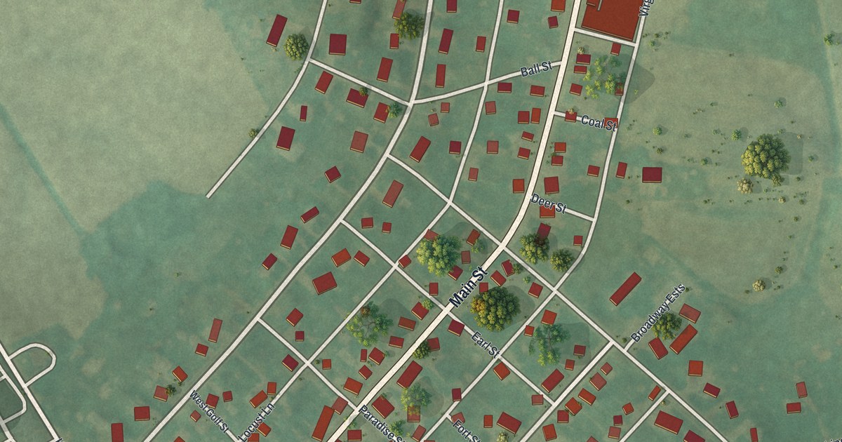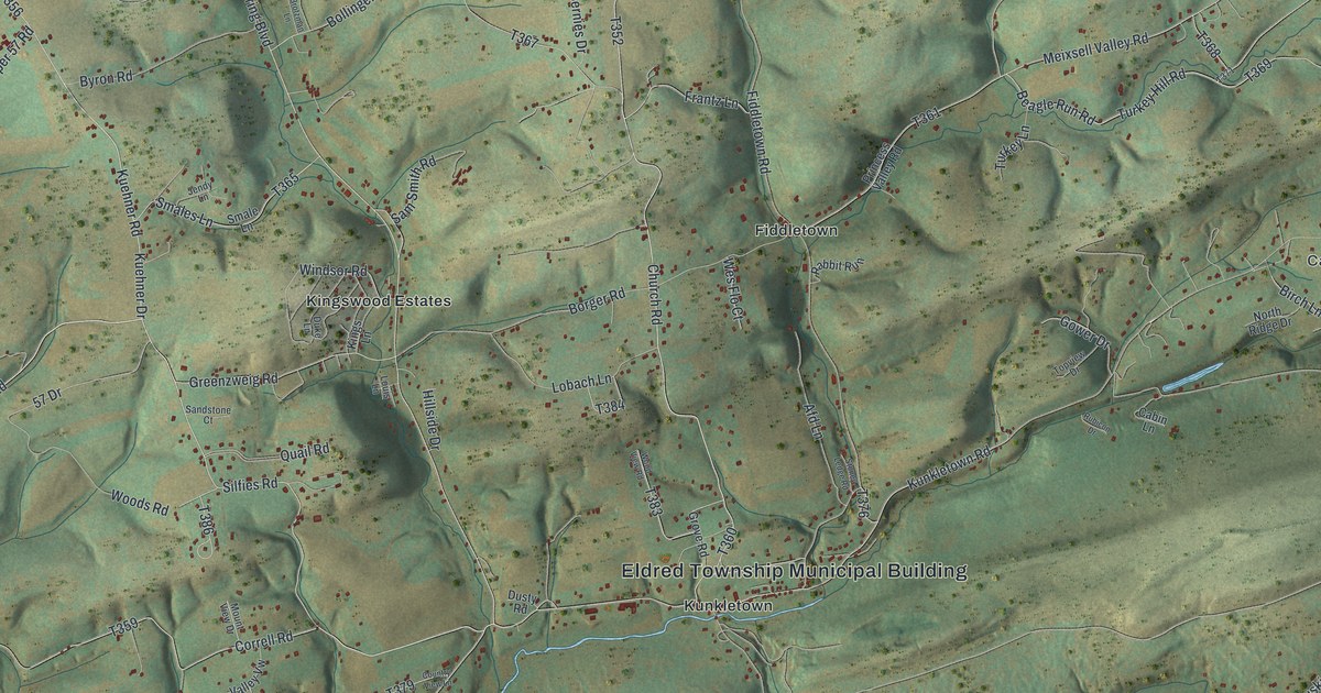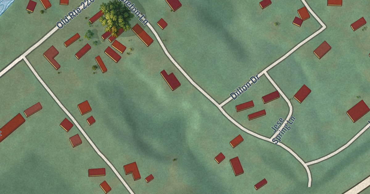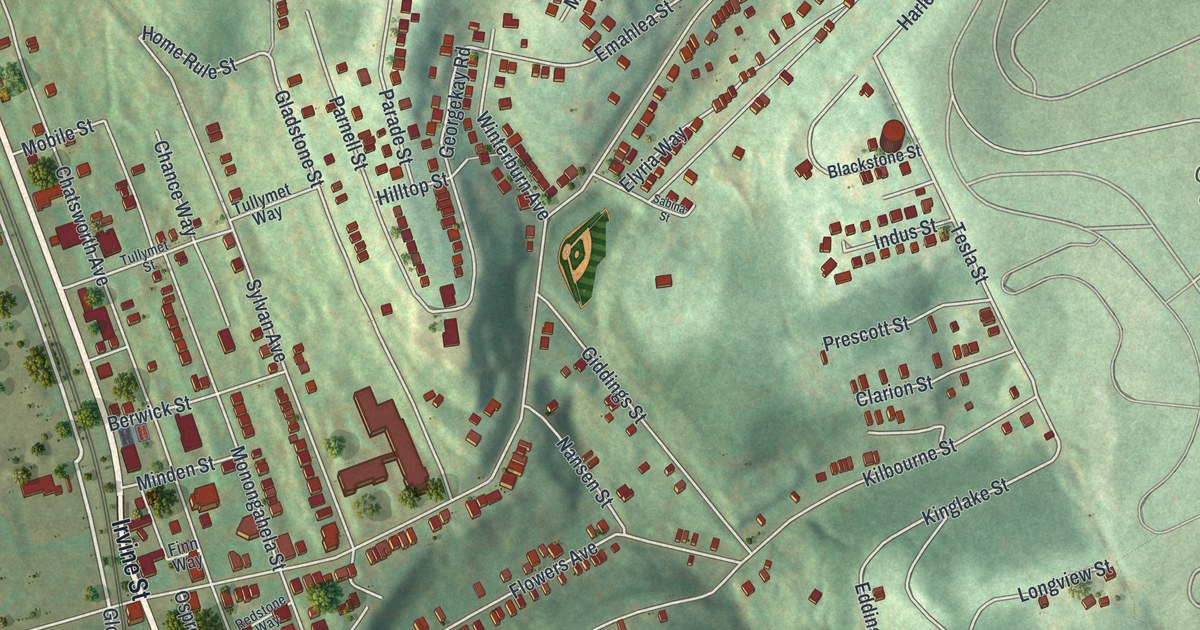
This beautifully detailed map of Hazelwood, Pennsylvania was created in 2026 using aerial imagery combined with modern topographical, census, street and landmark data. It’s a one-of-a-kind view of Hazelwood that combines accurate data with a vintage aesthetic. The map shows every building in its true location, many of the roads carry their names, and the shaded topographic relief shows the shape of the land.
Explore an aerial view of Hazelwood, Pennsylvania
On the map you’ll find Calvary Cemetery, Bud Hammer Park, and Glenwood, along with Second Avenue, Irvine Street, Greenfield Avenue, Gloster Street, Courtland Street, Langhorn Street, Gladstone Street, Bigelow Street, Sylvan Avenue, and more. If you look closely you can even find your house accurately drawn in its correct location. Zoom in on the preview to look for yours.
Did you know this piece of Hazelwood, Pennsylvania history?
Hazelwood is named for the hazelnut trees that used to thrive beside the Monongahela River. Its first settlers were Scottish, and the area was called Scotch Bottom. John Woods, one of those settlers, finished his Hazel Hill estate in 1784. The home survives today, and only the Fort Pitt Blockhouse is an older stone building in the city.
Hazelwood is a place in Allegheny County.
Take a closer look at the Hazelwood map
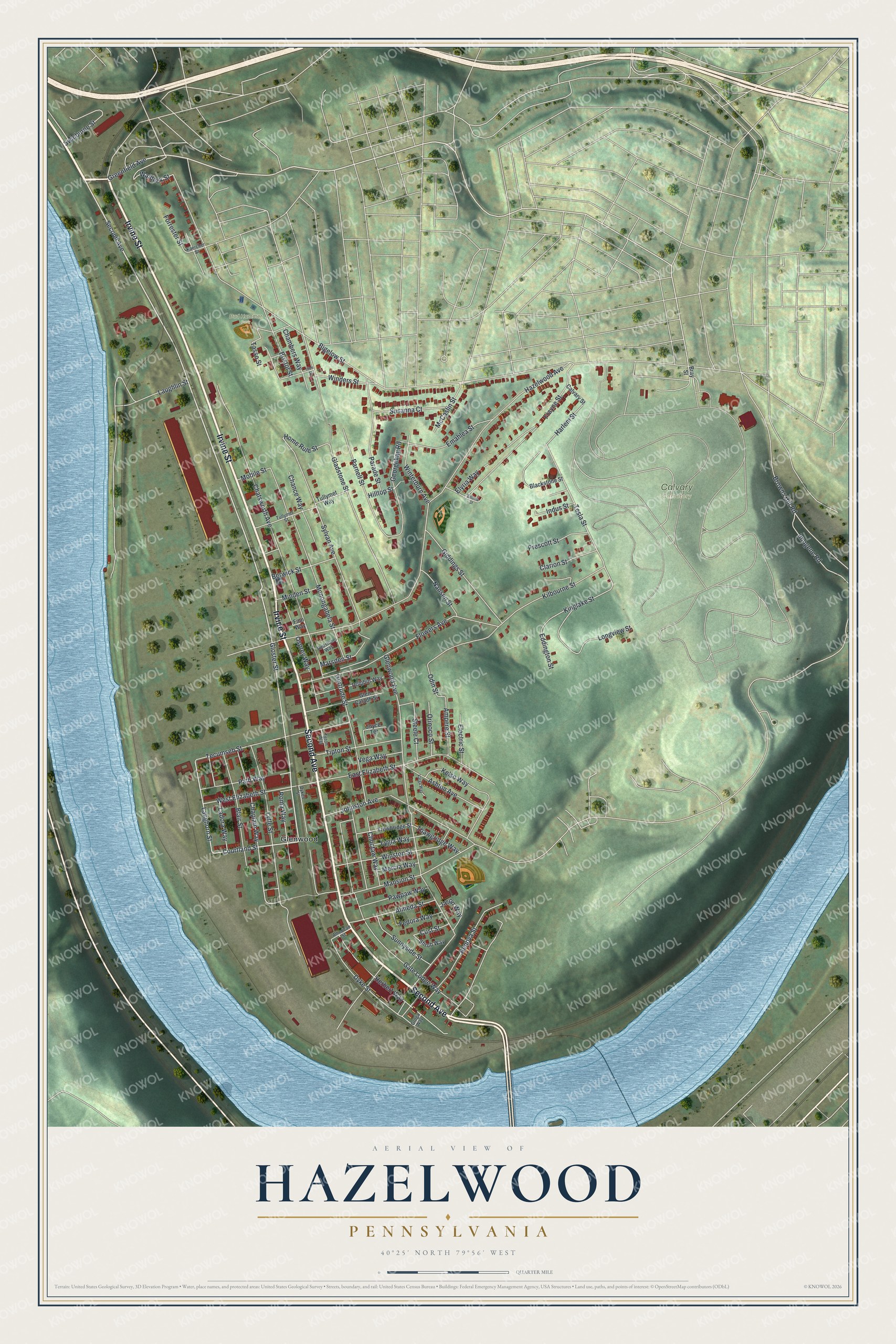
Street and place names on the Hazelwood, Pennsylvania map
These names are printed on the map of Hazelwood, Pennsylvania.
Places: Calvary Cemetery, Bud Hammer Park and Glenwood.
Streets and roads: Second Avenue, Irvine Street, Greenfield Avenue, Gloster Street, Courtland Street, Langhorn Street, Gladstone Street, Bigelow Street, Sylvan Avenue, Waldeck Street, Tesla Street, Home Rule Street.
More street names, A to Z
Almeda Street, American Street, Ampere Street, Ashton Avenue, Berwick Street, Blackstone Street, Blair Street, Bray Street, Bristol Street, Browns Hill Road, Calvary Street, Chambers Way, Chance Way, Chaplain Way, Chatsworth Avenue, Choctaw Way, Clarion Street, Cust Street, Dolphin Way, Dykes Street, Dyke Street, East Elizabeth Street, Eddington Street, Electric Street, Elyria Way, Emahlea Street, Fedora Way, Finn Way, Flowers Avenue, Forrester Street, Frayne Street, Gate Lodge Way, Georgekay Road, Gertrude Street, Giddings Street, Glen Caladh Street, Glenwood Avenue, Groga Way, Harlem Street, Hazelwood Avenue, Herbert Way, Hilltop Street, Ilion Street, Imogene Road, Indus Street, Jason Way, Johnston Avenue, Joyce Terrace, Kaercher Street, Kelso Way, Kilbourne Street, Kinglake Street, Ladora Way, Laughlin Street, Longview Street, Lygia Way, Lytle Street, Mansion Street, Marsden Street, McCaslin Street, Mercia Way, Minden Street, Mobile Street, Monongahela Street, Nansen Street, Odin Street, Orinoco Street, Osprey Way, Parade Street, Parnell Street, Path Way, Pawpaw Way, Prescott Street, Redstone Way, Renova Street, Roma Way, Sabina Street, Shrub Way, Steele Court, Sunnyside Street, Susanna Court, Swinburne Street, Tasso Street, Tecumseh Street, Teton Way, Thawgridge Way, Tipton Street, Trowbridge Street, Tullymet Street, Tullymet Way, Varga Way, Vega Way, West Elizabeth Street, Winders Street, Winston Street, Winterburn Avenue.
See the Hazelwood, Pennsylvania map on a wall
The Hazelwood map as an 18 x 24 inch print in a black frame.

This beautifully detailed map of Hazelwood makes an attractive addition to your office, library, or den, and it can even be used to teach children the geography and history of the area. It also makes a great gift for someone who left Hazelwood and still calls it home. When you’re done exploring, click here to get your copy of the Hazelwood map.