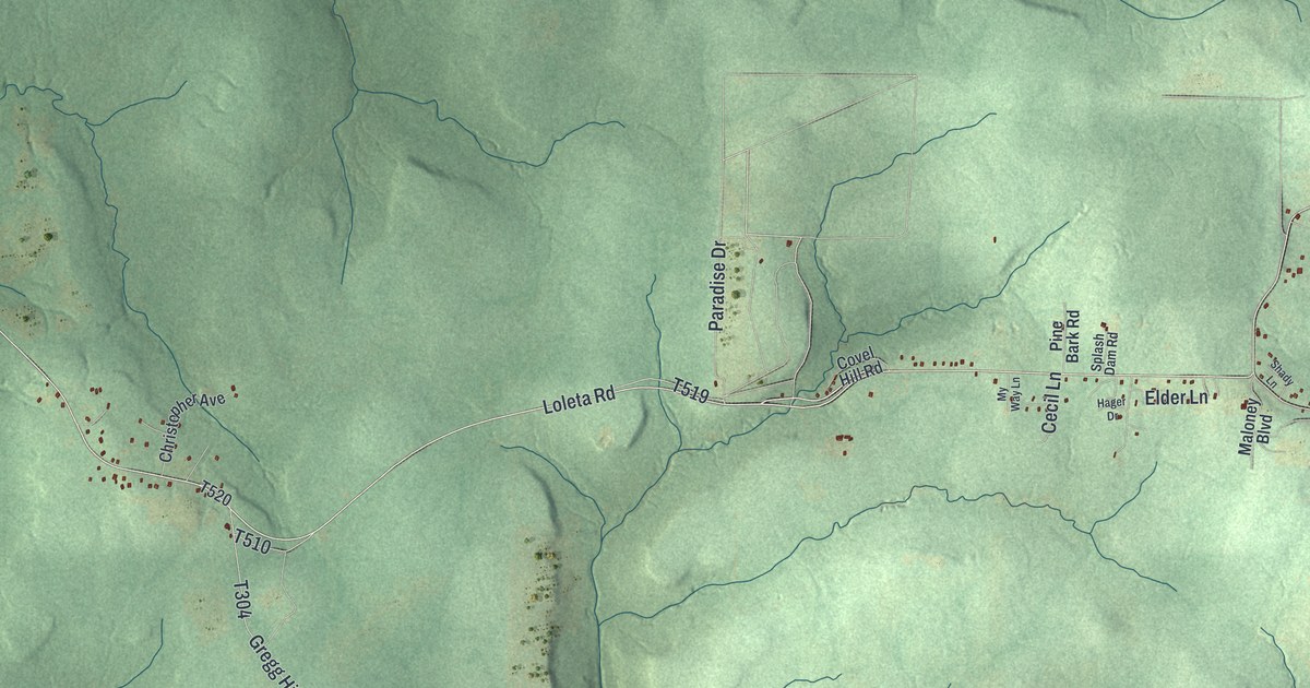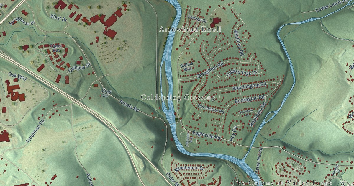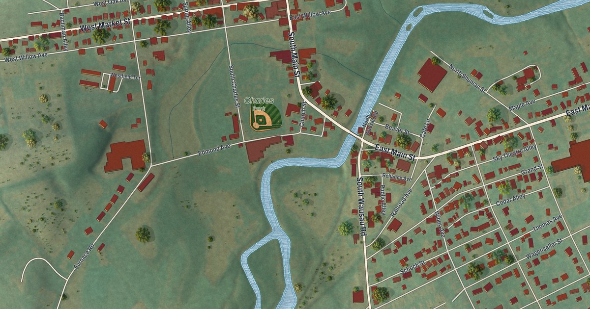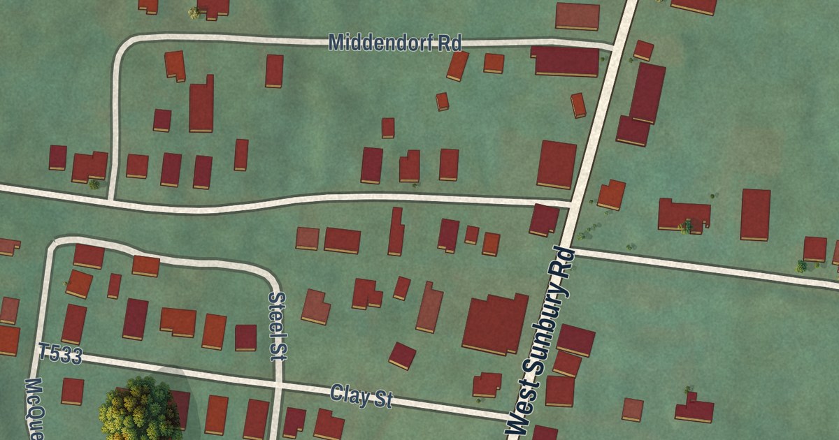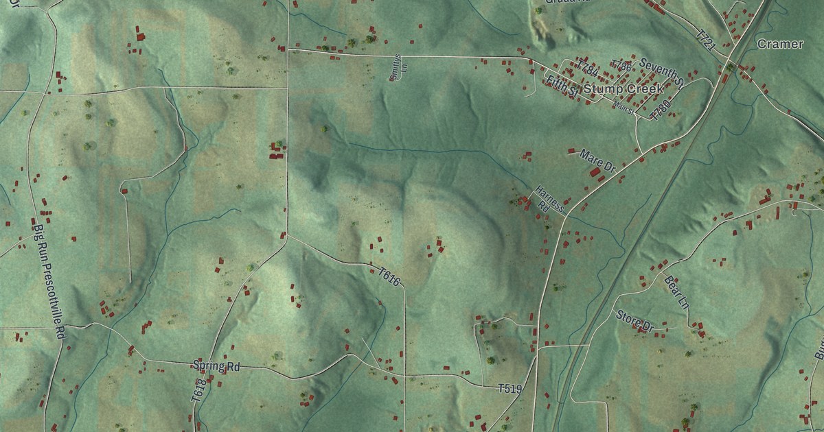
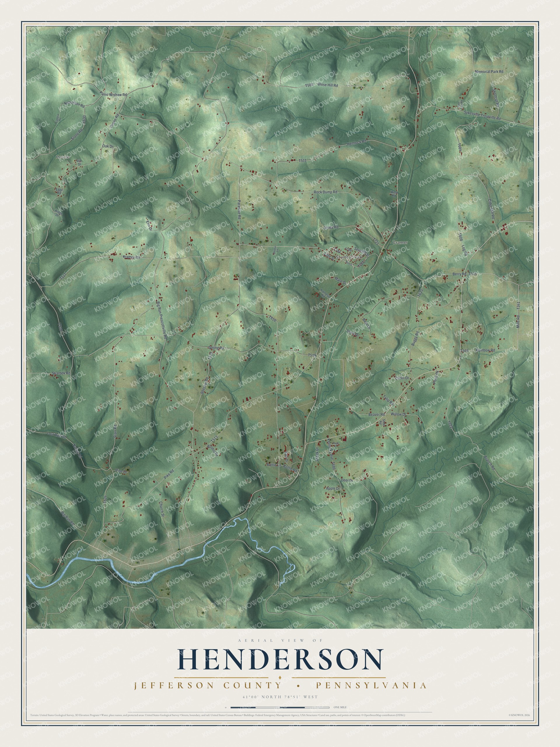
This beautifully detailed map of Henderson, Jefferson County, Pennsylvania was created in 2026 using aerial imagery combined with modern topographical, census, street and landmark data. It’s a one-of-a-kind view of Henderson that combines accurate data with a vintage aesthetic. The map shows every building in its true location, many of the roads carry their names, and the shaded topographic relief shows the shape of the land.
Explore an aerial view of Henderson, Jefferson County, Pennsylvania
On the map you’ll find Desire, Cramer, and Stump Creek, along with Kramer Road, Fifth Street, Mills Road, Berry Road, and more. If you look closely you can even find your house accurately drawn in its correct location. Zoom in on the preview to look for yours.
Did you know this piece of Henderson, Jefferson County, Pennsylvania history?
Henderson Township takes its name from Joseph Henderson. He served as an associate judge of Jefferson County. The township honors him within the same county where he sat on the bench.
Take a closer look at the Henderson, Jefferson County map
Street and place names on the Henderson, Jefferson County, Pennsylvania map
These names are printed on the map of Henderson, Jefferson County, Pennsylvania.
Places: Desire, Cramer and Stump Creek.
Streets and roads: Kramer Road, Fifth Street, Mills Road, Berry Road, Sykesville Troutville Road, Big Run Prescottville Road, Pike Road, Paradise Road, Rock Dump Road, Spring Road, Starr Road, Native Road.
More street names, A to Z
Apple Drive, Bear Lane, Beaver Road, Big Run Road, Blose Hill Road, Bottle Lane, Bottle Road, Branch Road, Buggy Road, Bulldog Road, Cabin Drive, Church Street, Cider Mill Road, Creek Drive, Deer Drive, Desire Road, Edge Road, Elanora Road, Elm Drive, Gruda Road, Harness Road, Hemlock Road, Hill Drive, Kentucky Avenue, Log Road, Lost Run Road, Main Street, Maple Drive, Mare Drive, Memorial Park Road, Nicholson Road, Oak Drive, Panic Wishaw Road, Pine Drive, Pine Tree Road, Pond Road, Rainbow Road, Ridge Drive, Saw Drive, Seventh Street, Sheplar Road, Shoe Road, Shortcut Road, Skarbek Road, Smittys Lane, Stone Road, Store Drive, Tulip Road, Weld Road, Willow Drive.
See the Henderson, Jefferson County, Pennsylvania map on a wall
The Henderson, Jefferson County map as an 18 x 24 inch print in a black frame.

This beautifully detailed map of Henderson, Jefferson County makes an attractive addition to your office, library, or den, and it can even be used to teach children the geography and history of the area. It also makes a great gift for anyone who grew up in Henderson or moved away. When you’re done exploring, click here to get your copy of the Henderson, Jefferson County map.