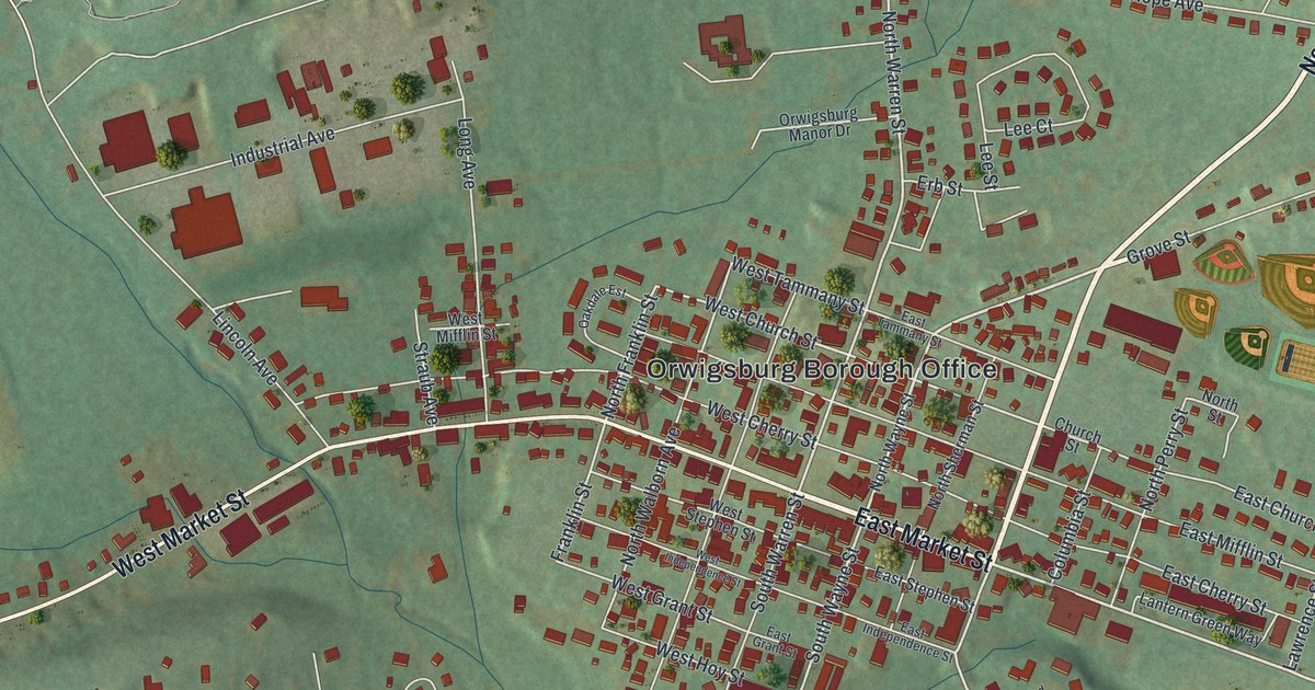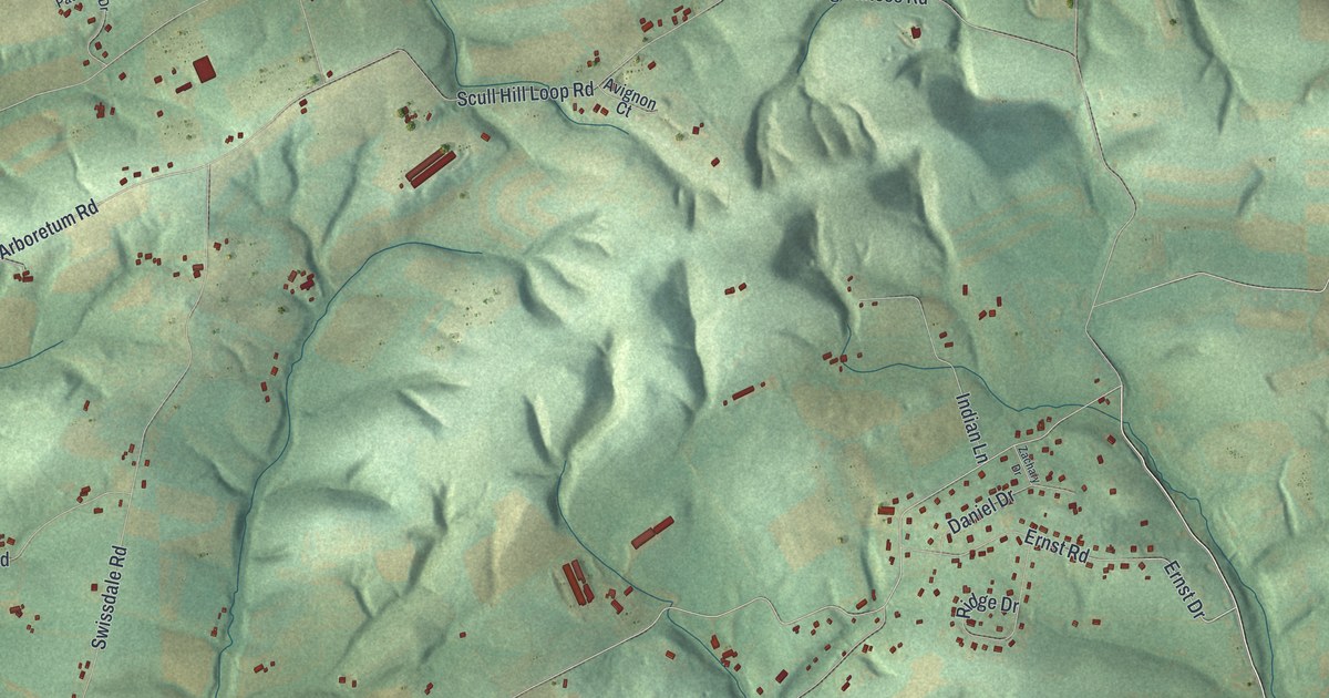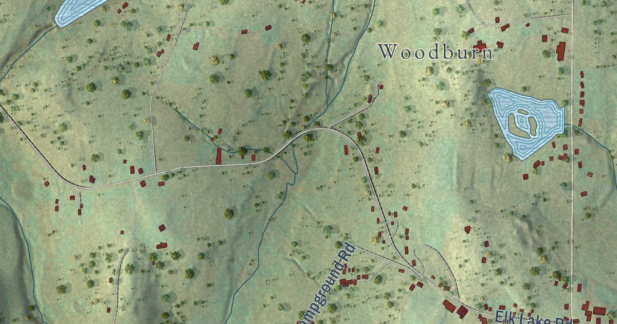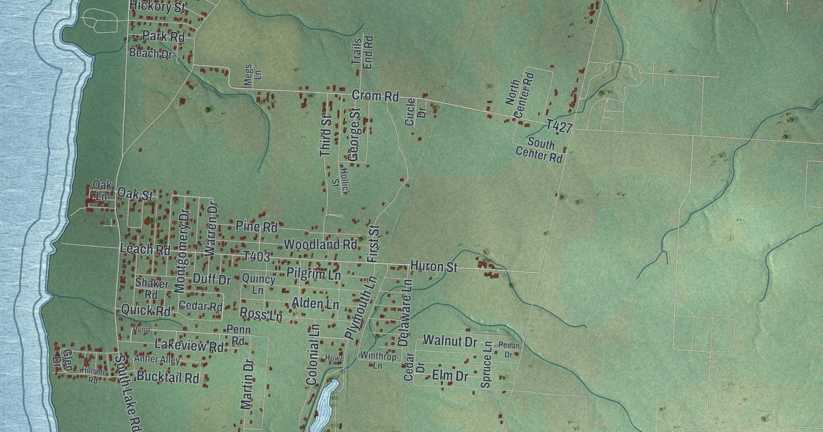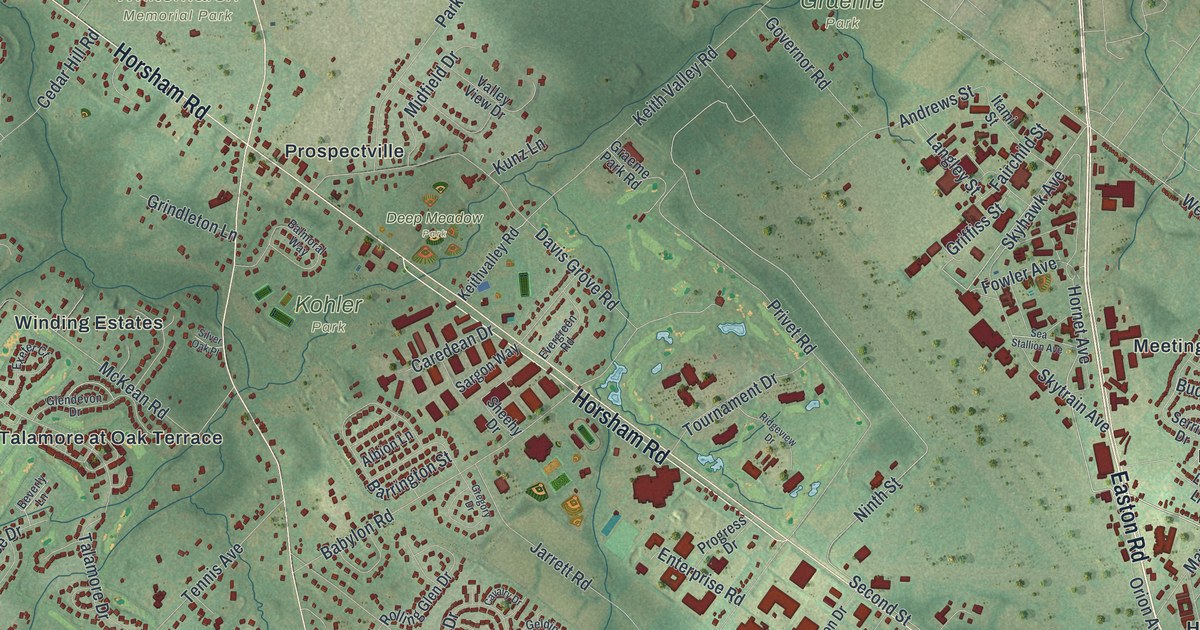
This beautifully detailed map of Horsham, Pennsylvania was created in 2026 using aerial imagery combined with modern topographical, census, street and landmark data. It’s a one-of-a-kind view of Horsham that combines accurate data with a vintage aesthetic. The map shows every building in its true location, many of the roads carry their names, and the shaded topographic relief shows the shape of the land.
Explore an aerial view of Horsham, Pennsylvania
On the map you’ll find Deep Meadow Park, Graeme Park, Kohler Park, Lukens Park, Whitemarsh Memorial Park, Arbor Glen, Blair Mill Village East, Blair Mill Village West, Clearbrook Village, Cloverly Farms, and Dreshertowne, along with Carpenters Way, and more. If you look closely you can even find your house accurately drawn in its correct location. Zoom in on the preview to look for yours.
Did you know this piece of Horsham, Pennsylvania history?
Flying in Horsham began in 1926, when Harold Pitcairn built a hangar and a grass airstrip. Until 1942 he designed, built and tested aircraft there, including the Mailwing, which the United States Postal Service used. In January 1943 the field became Naval Air Station Willow Grove. In 2021 it was renamed Biddle Air National Guard Base.
Take a closer look at the Horsham map
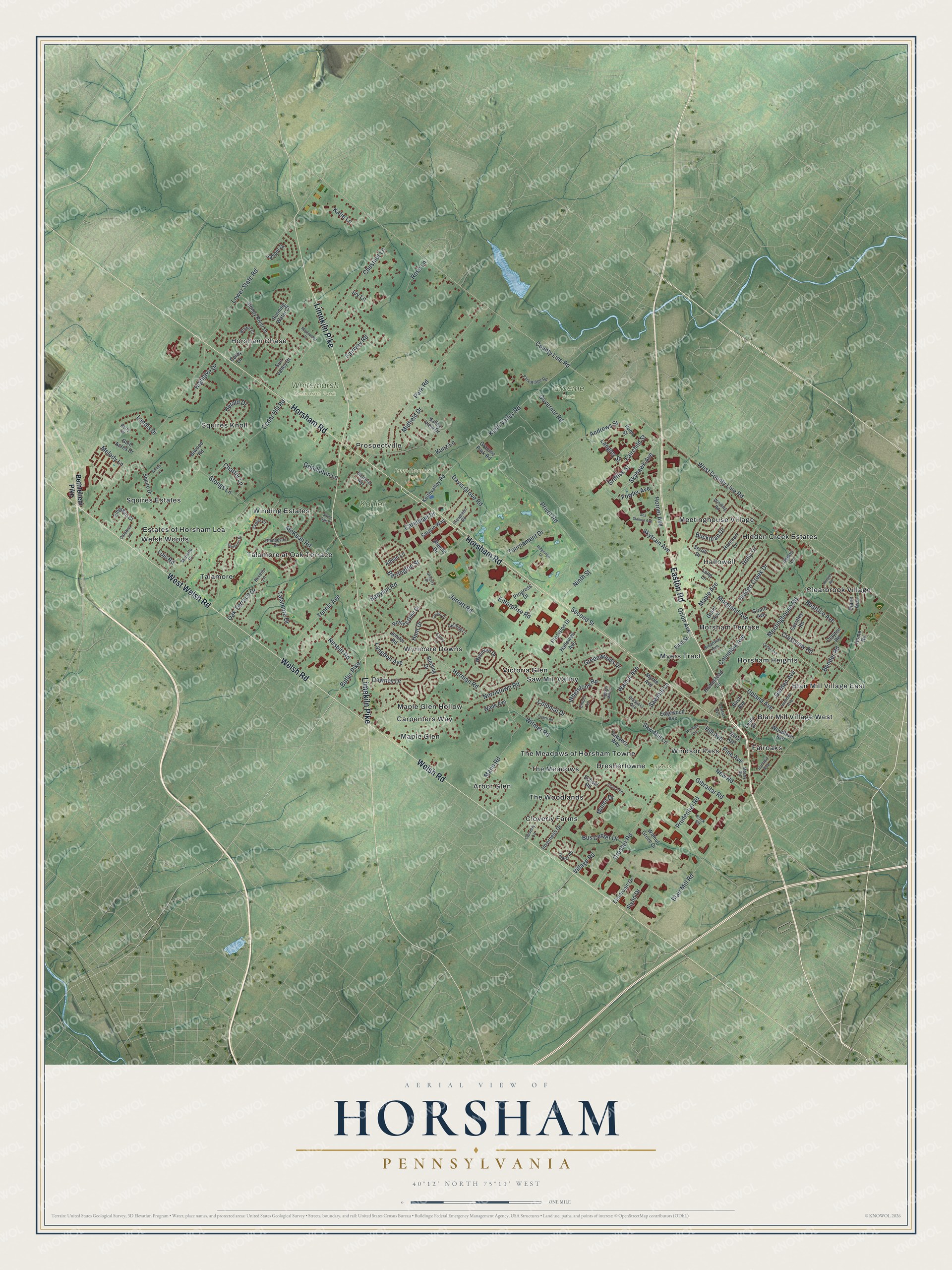
Street and place names on the Horsham, Pennsylvania map
These names are printed on the map of Horsham, Pennsylvania.
Places: Deep Meadow Park, Graeme Park, Kohler Park, Lukens Park, Whitemarsh Memorial Park, Arbor Glen, Blair Mill Village East, Blair Mill Village West, Carpenters Way, Clearbrook Village, Cloverly Farms, Dreshertowne, Estates of Horsham Lea, Fairoaks, Hallowell, Hidden Creek Estates, Horsham Chase, Horsham Heights, Horsham Terrace, Maple Glen, Maple Glen Hollow, Meetinghouse Village, Myers Tract, Prospectville, Saw Mill Valley, Squires Estates, Squires Knoll, Talamore, Talamore at Oak Terrace, The Meadows, The Meadows of Horsham Towne, The Woodlands, Victoria Glen, Welsh Woods, Winding Estates, Windsor Pass and Wynmere Downs.
Streets and roads: Easton Road, Horsham Road, Limekiln Pike, Welsh Road, West Welsh Road, Moreland Avenue, Orion Avenue, Privet Road, Second Street, Butler Pike, Skytrain Avenue, Ninth Street.
More street names, A to Z
Albion Lane, Andrews Street, Aspen Lane, Babylon Road, Balmoral Way, Barrington Street, Beatrice Avenue, Bender Road, Bethlehem Pike, Beverly Lane, Birch Avenue, Biwood Road, Blair Mill Road, Broadway Avenue, Bryant Court, Buckman Drive, Bus Center Drive, Calabria Lane, Caredean Drive, Cavalry Drive, Cedar Avenue, Cedar Hill Road, Central Avenue, Charter Lane, Chestnut Lane, Church Road, Clayton Road, Cloverly Lane, Coach Road, Colby Lane, Colonial Drive, Columbia Avenue, County Line Road, Crestview Road, Curry Lane, Davis Grove Road, Diane Avenue, Dora Avenue, Downey Drive, Dresher Road, Dunburry Drive, Edgewood Avenue, Electronic Drive, Ember Lane, Emerson Court, Enterprise Road, Evergreen Road, Exeter Court, Fairchild Street, Fairway Road, First Street, Flynn Drive, Fowler Avenue, Garden Avenue, Gelding Lane, Gentry Lane, Gerstley Road, Gibraltar Road, Girard Avenue, Glen Acres Drive, Glendevon Drive, Governor Road, Graeme Park Road, Grant Avenue, Greenwoods Drive, Gregory Drive, Griffiss Street, Grindleton Lane, Hallowell Avenue, Harcourt Lane, Herald Drive, Herman Road, Hidden Creek Drive, Highgate Drive, Hill Avenue, Holly Drive, Home Road, Homestead Lane, Hornet Avenue, Hunt Drive, Inverness Drive, Itami Street, Ivy Lane, Jarrett Road, Jasper Drive, Jenifer Road, Katie Lane, Keith Valley Road, Keithvalley Road, Kunz Lane, Landis Drive, Langdon Avenue, Langley Street, Leary Drive, Loggers Mill Road, Lois Road, Long Lane, Lower State Road, Mann Road, Manor Drive, Maple Avenue, Maplewood Drive, Marietta Drive, McKean Road, Meetinghouse Road, Melody Lane, Midfield Drive, Morris Road, Myrtle Avenue, Nesbitt Road, New Road, Norristown Road, Oak Terrace Drive, Park Ridge Road, Park Road, Perry Circle, Pine Avenue, Precision Drive, Progress Drive, Prospect Avenue, Prudential Road, Ridgeview Drive, Rock Road, Rodger Road, Rolling Glen Drive, Rose Lane, Running Water Court, Sargon Way, Saw Mill Lane, Sawmill Lane, Sawyers Way, School Road, Sea Stallion Avenue, Serrill Drive, Sheehy Drive, Silver Oak Place, Skyhawk Avenue, Squire Drive, Sterling Drive, Stoney River Drive, Stongs Lane, Summer Avenue, Summit Avenue, Sun Valley Drive, Talamore Drive, Tennis Avenue, Timber Road, Tournament Drive, Upland Avenue, Valley View Drive, Village Road, Wade Avenue, Walnut Avenue, Walnut Grove Drive, West County Line Road, Whetstone Road, Winding Road, Witmer Road, Woodlawn Avenue, Wynmere Drive.
See the Horsham, Pennsylvania map on a wall
The Horsham map as an 18 x 24 inch print in a black frame.

This beautifully detailed map of Horsham makes an attractive addition to your office, library, or den, and it can even be used to teach children the geography and history of the area. It also makes a great gift for anyone with Horsham roots. When you’re done exploring, click here to get your copy of the Horsham map.