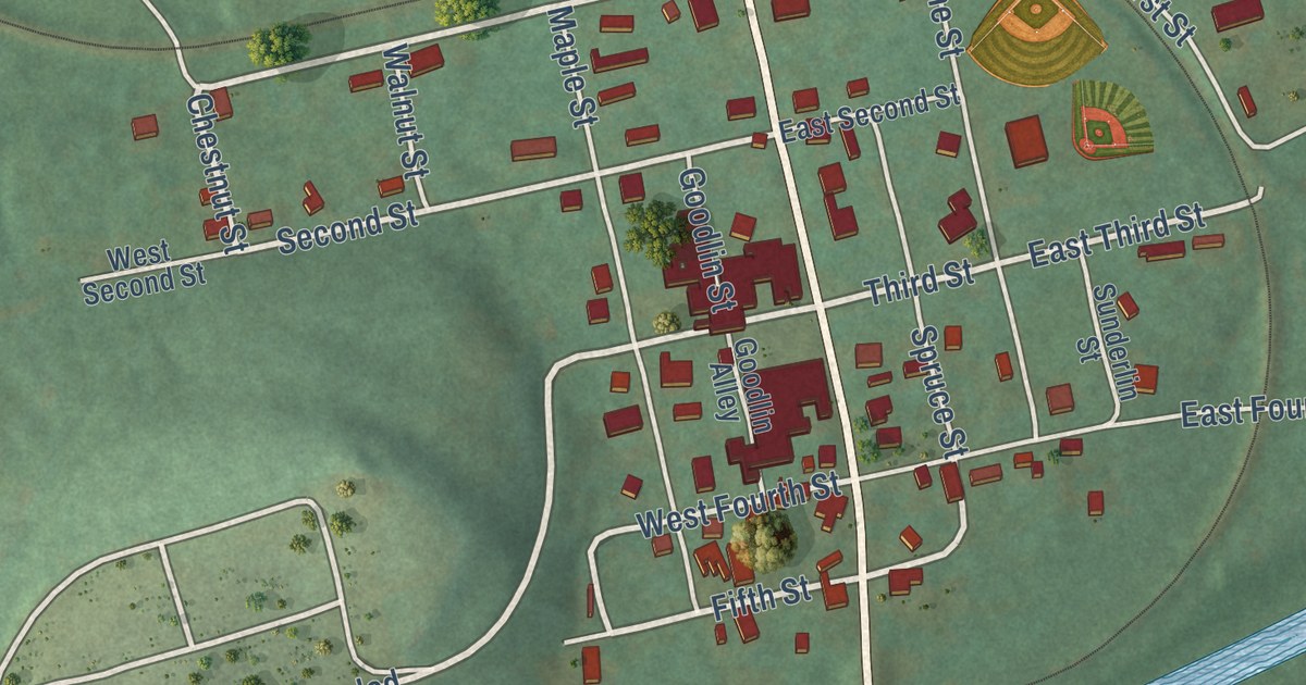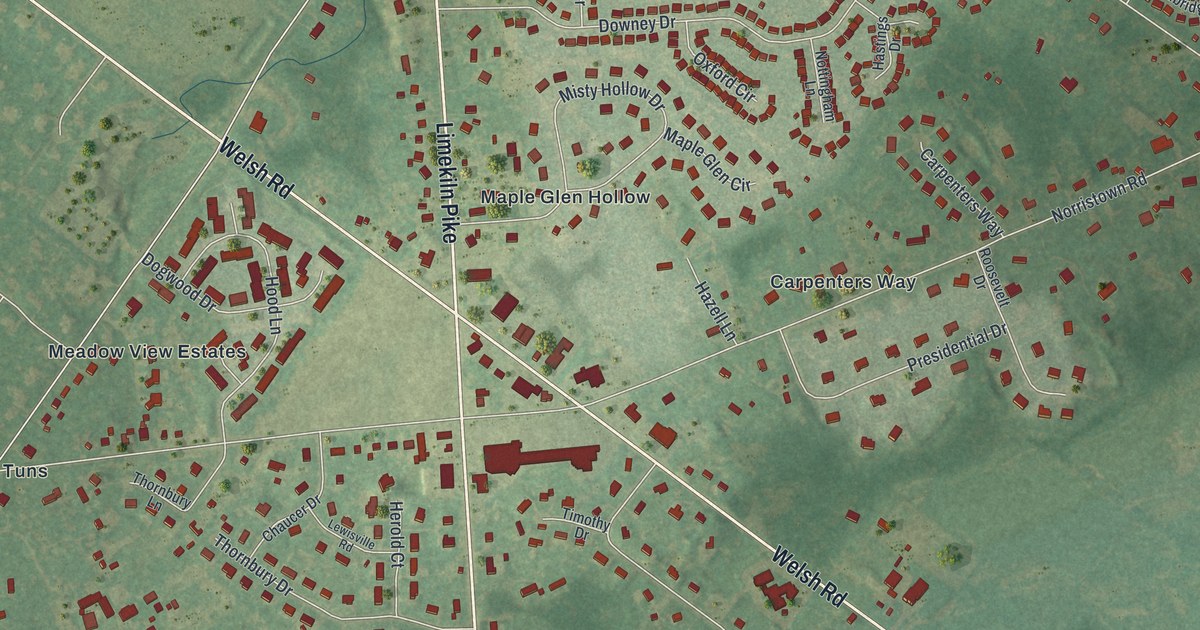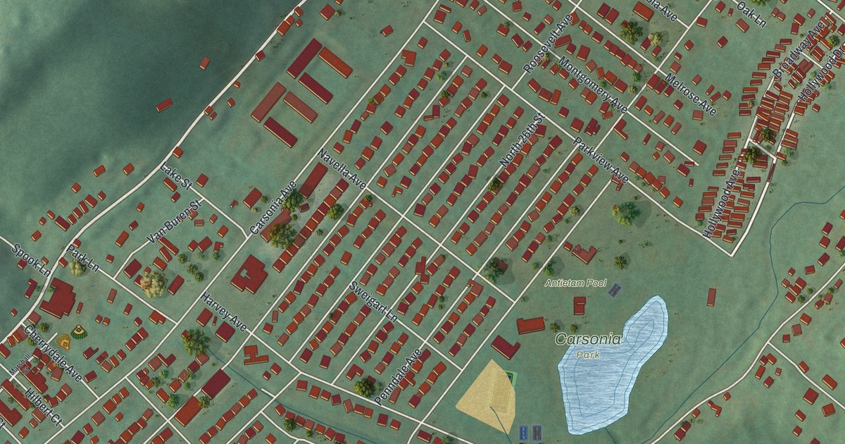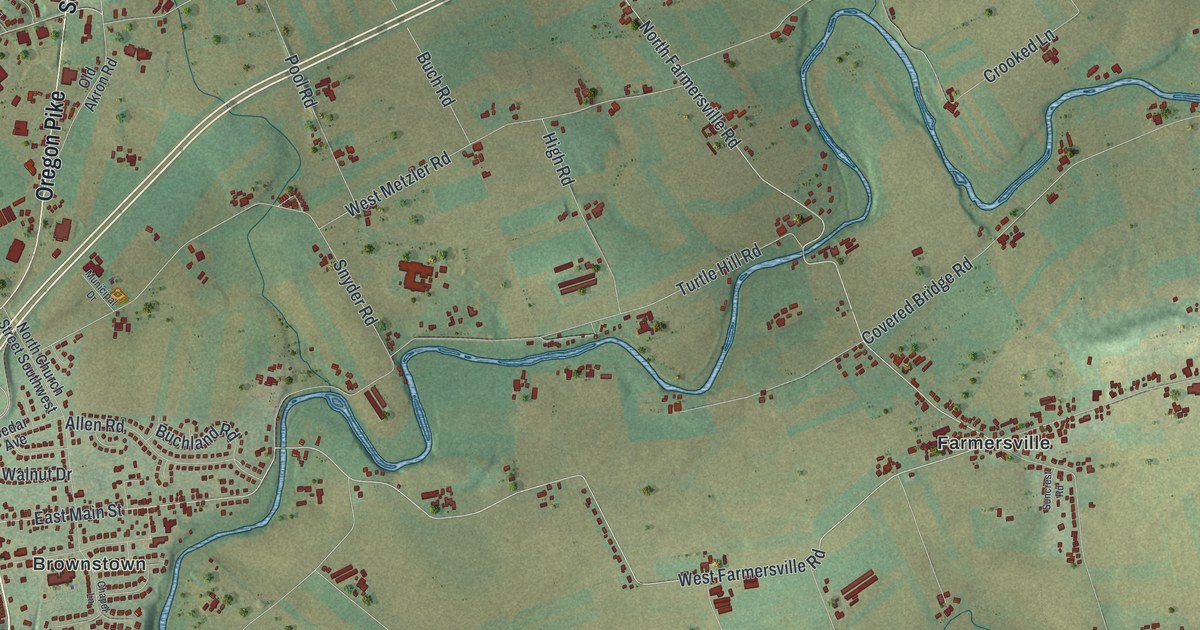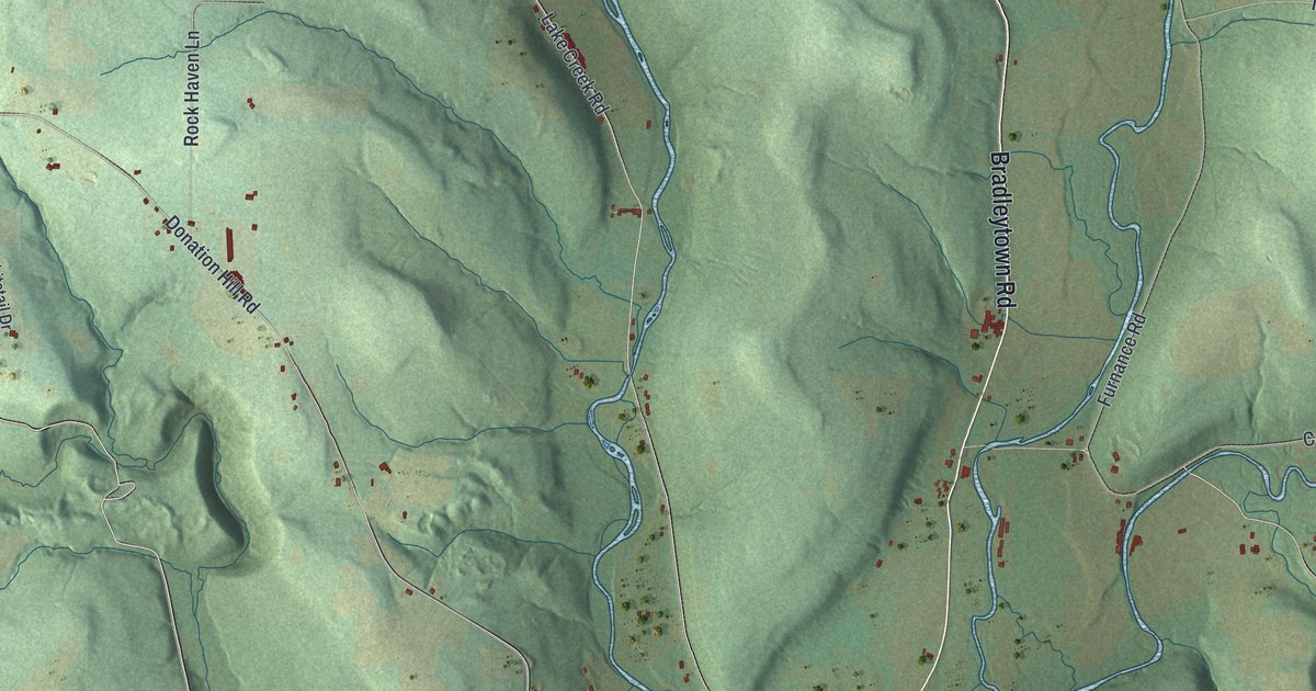
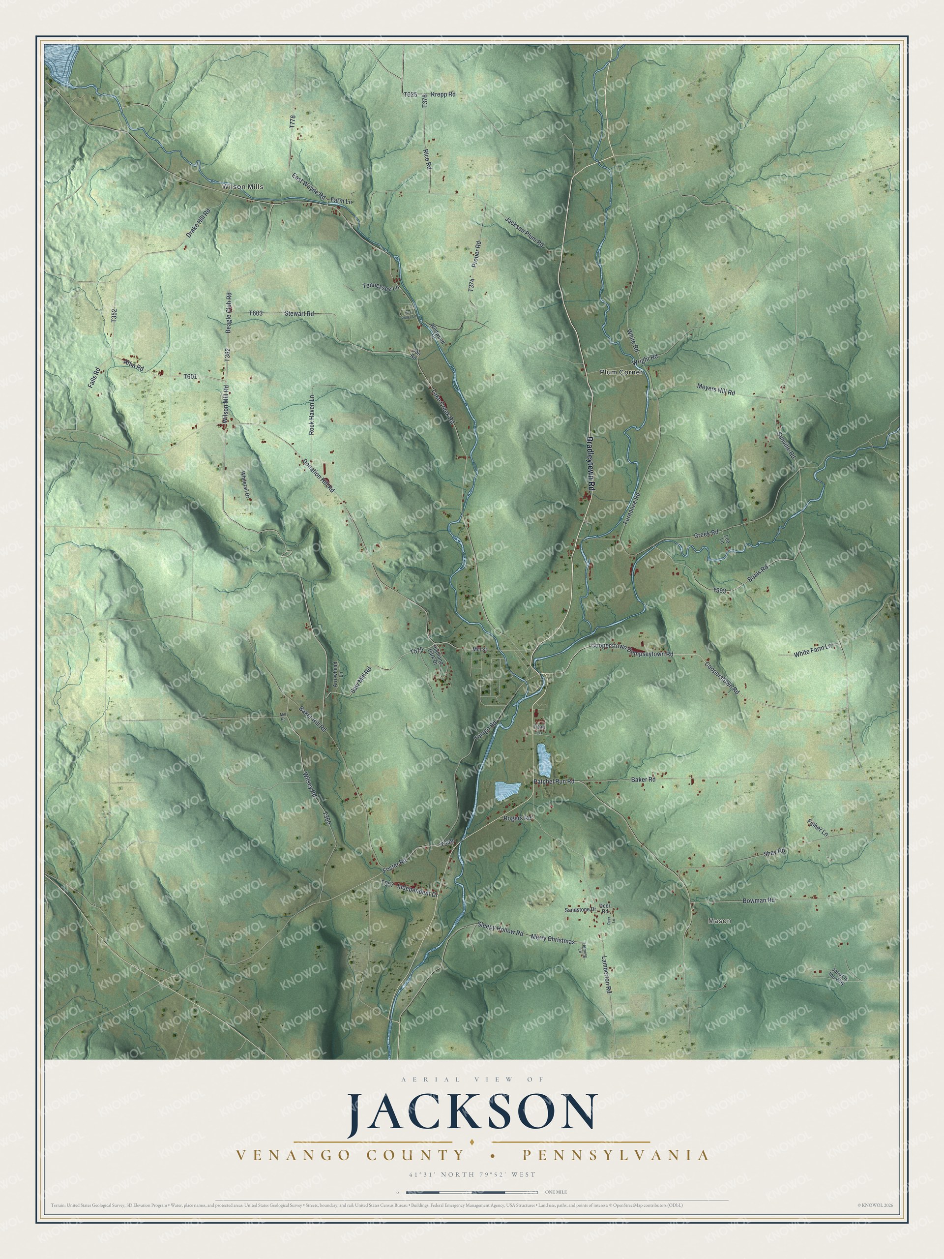
This beautifully detailed map of Jackson, Venango County, Pennsylvania was created in 2026 using aerial imagery combined with modern topographical, census, street and landmark data. It’s a one-of-a-kind view of Jackson that combines accurate data with a vintage aesthetic. The map shows every building in its true location, many of the roads carry their names, and the shaded topographic relief shows the shape of the land.
Explore an aerial view of Jackson, Venango County, Pennsylvania
On the map you’ll find Wilson Mills, Mason, and Plum Corner, along with Bradleytown Road, Cooperstown Dempseytown Road, Cooperstown Road, Falls Road, Atha Road, Beagle Club Road, and more. If you look closely you can even find your house accurately drawn in its correct location. Zoom in on the preview to look for yours.
Did you know this piece of Jackson, Venango County, Pennsylvania history?
From the Venango County History: "THE contiguous portions of Plum, Oakland, Canal, and Sugar Creek were formed into the township of Jackson in 1845. It is bounded on the north by Plum, on the east by Oakland, on the south by Sugar Creek, on the west by Canal, and on the northwest by Crawford county."
Take a closer look at the Jackson, Venango County map
Street and place names on the Jackson, Venango County, Pennsylvania map
These names are printed on the map of Jackson, Venango County, Pennsylvania.
Places: Wilson Mills, Mason and Plum Corner.
Streets and roads: Bradleytown Road, Cooperstown Dempseytown Road, Cooperstown Road, Falls Road, Atha Road, Beagle Club Road, Wilson Mill Road, Patchel Run Road, Saw Mill Road, Wilsey Road, Lamberton Road, Creek Road.
More street names, A to Z
Arrowhead Lane, Baker Hill Road, Baker Road, Boals Road, Bowman Road, Deer Lane, Deer Road, Donation Hill Road, Drake Hill Road, East Wayne Road, Farm Lane, Fisher Lane, Fleming Lane, Foster Road, Furnance Road, Highland Park Drive, Independent Drive, Jackson Plum Road, Jesus Is the Way, Jon Road, Krepp Road, Lake Creek Road, Lee Lane, Merry Christmas, Meyers Hill Road, Mill Road, Mill Street, Pine Valley Lane, Proper Road, Rice Road, Rock Haven Lane, Rogers Road, Sandstone Drive, Shay Road, Sleepy Hollow Road, Stewart Road, Sunville Road, Tennessee Lane, Titan Lane, Tologo Road, White Farm Lane, White Road, Whitetail Drive, Wildwood Drive, Wright Road.
See the Jackson, Venango County, Pennsylvania map on a wall
The Jackson, Venango County map as an 18 x 24 inch print in a black frame.

This beautifully detailed map of Jackson, Venango County makes an attractive addition to your office, library, or den, and it can even be used to teach children the geography and history of the area. It also makes a great gift for anyone with Jackson roots. When you’re done exploring, click here to get your copy of the Jackson, Venango County map.