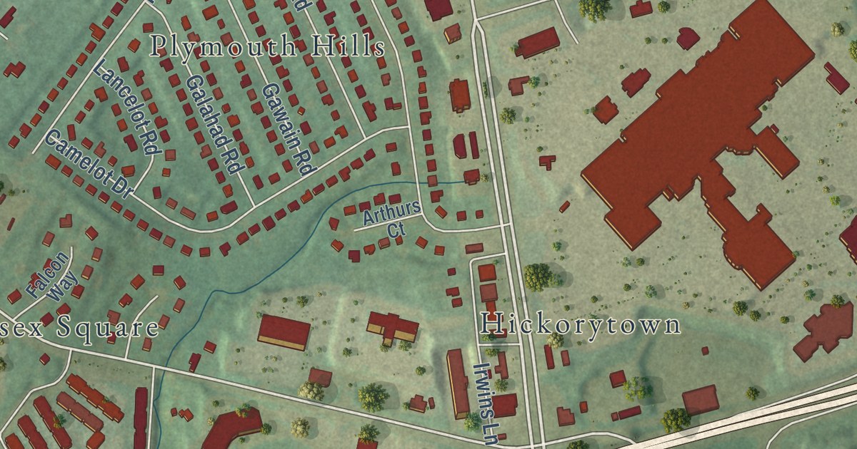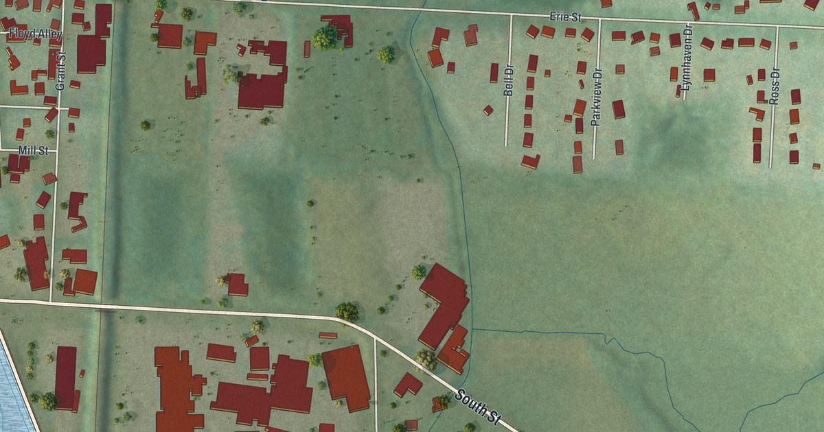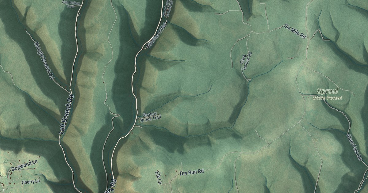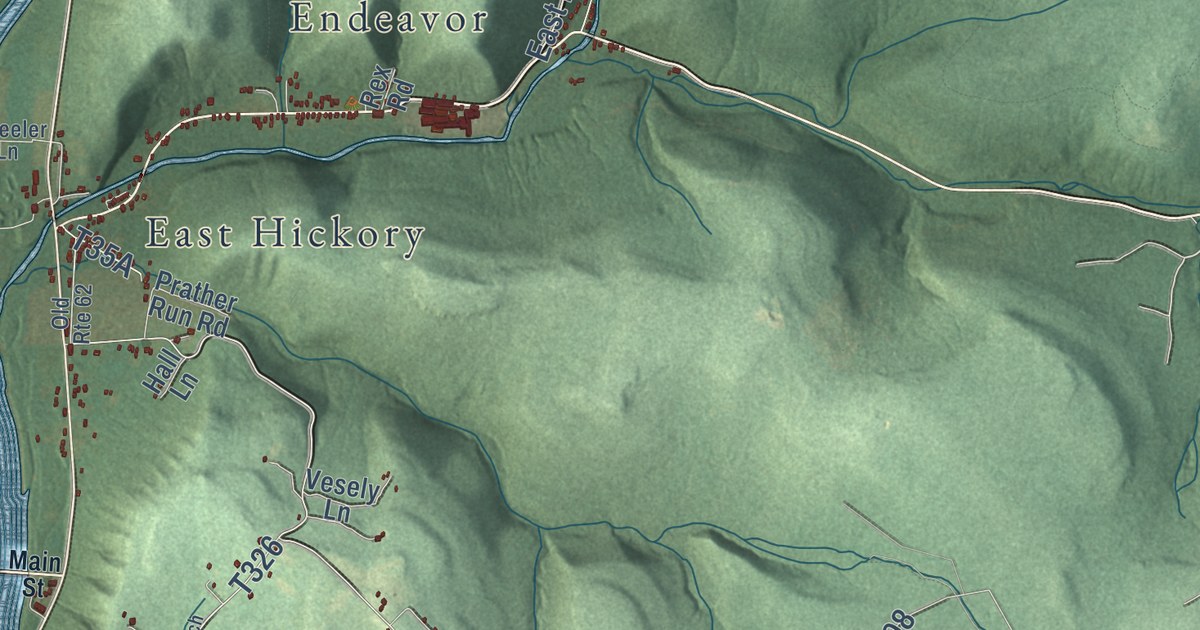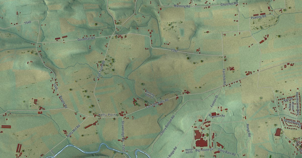
This beautifully detailed map of Kelly, Pennsylvania was created in 2026 using aerial imagery combined with modern topographical, census, street and landmark data. It’s a one-of-a-kind view of Kelly that combines accurate data with a vintage aesthetic. The map shows every building in its true location, many of the roads carry their names, and the shaded topographic relief shows the shape of the land.
Explore an aerial view of Kelly, Pennsylvania
On the map you’ll find Kelly Township Office, Central Oak Heights, Kelly Crossroads, Kelly Point, and West Milton, along with Broad Street, Westbranch Highway, Crossroads Drive, Pawling Road, High Street, and more. If you look closely you can even find your house accurately drawn in its correct location. Zoom in on the preview to look for yours.
Did you know this piece of Kelly, Pennsylvania history?
Kelly township was named after Colonel John Kelly. He was already living on his land here by 1770. He stayed on that same place for the rest of his life and died there. That’s from the 1886 Susquehanna and Juniata Valleys.
Take a closer look at the Kelly map
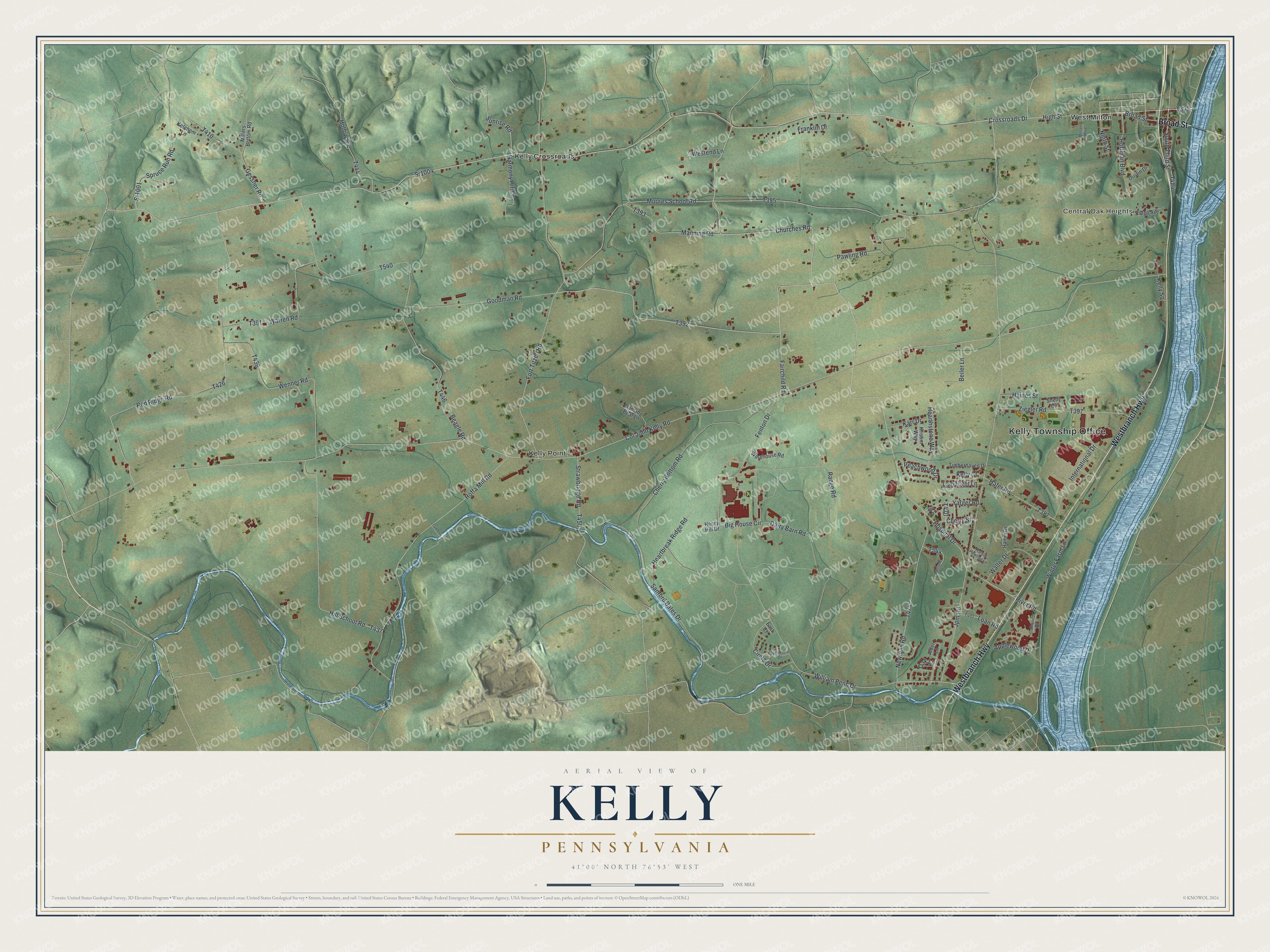
Street and place names on the Kelly, Pennsylvania map
These names are printed on the map of Kelly, Pennsylvania.
Places: Kelly Township Office, Central Oak Heights, Kelly Crossroads, Kelly Point and West Milton.
Streets and roads: Broad Street, Westbranch Highway, Sr1004, Crossroads Drive, Pawling Road, High Street, Sr1001, Churches Road, Hospital Drive, Goodman Road, River Road, South Third Street.
More street names, A to Z
Alder Lane, Applewood Drive, Beagle Road, Beiler Lane, Big House Circle, Bossert Boulevard, Cherry Bottom Road, Cherry Street, Circle Drive, Col John Kelly Road, Cypress Lane, Dairy Barn Road, Dancing Bear Lane, Dustin Drive, East Court, Fairchild Road, Fenton Drive, Fort Titzell Road, Franklin Drive, Gessner Road, Hafer Road, Haines Street, Hamm Drive, Harmony Hill Lane, Harold Pawling Lane, Heartbreak Ridge Road, Hearthstone Way, Henry Hill Drive, Hill School Road, Hoffa Mill Road, Hoffman Boulevard, Hollow Road, International Drive, Jpm Road, Karr Drive, Kelly Court, Kelly Square, Ketchem Lane, Kristim Way, Lakeside Drive, Lamplight Lane, Loan Road, Manning Road, Millers Bottom Road, Moores School Road, Newman Road, Ninth Street, Oak Lane, Oakwood Drive, Peachwood Drive, Range Road, Red Ridge Road, Red Top Lane, Ridge Avenue, Sanford Bates Drive, Shelly Circle, Spruce Run Road, Strawbridge Road, Sunrise Road, Sycamore Drive, Timberhaven Drive, Walter Drive, Warehouse Road, Warren Road, Wenner Road, Westend Lane, William Penn Drive, Winter Farm Lane, Yarger Road, Ziegler Road.
See the Kelly, Pennsylvania map on a wall
The Kelly map as an 18 x 24 inch print in a black frame.

This beautifully detailed map of Kelly makes an attractive addition to your office, library, or den, and it can even be used to teach children the geography and history of the area. It also makes a great gift for anyone with Kelly roots. When you’re done exploring, click here to get your copy of the Kelly map.