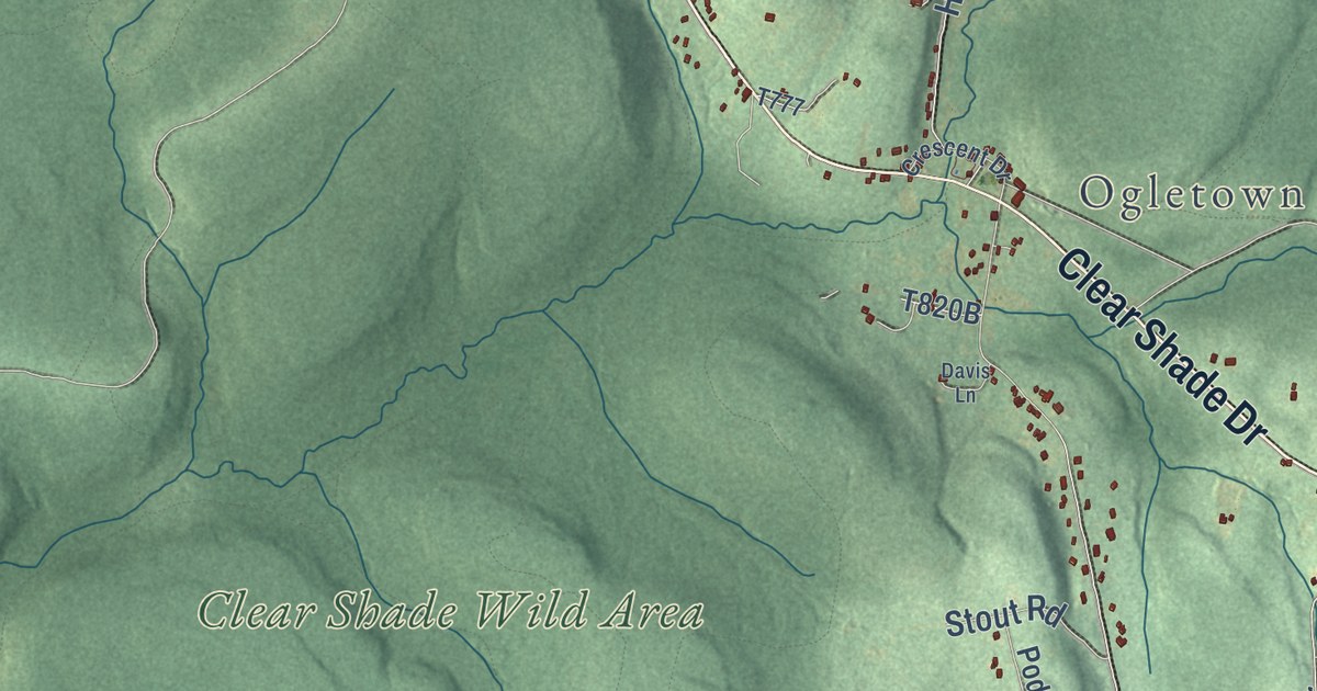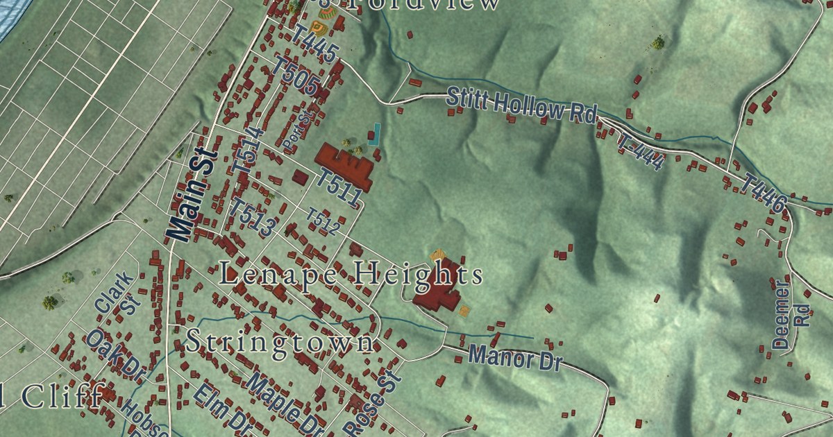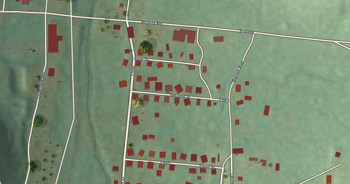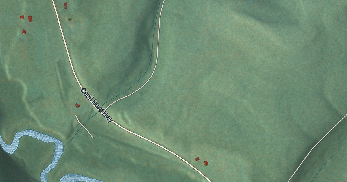
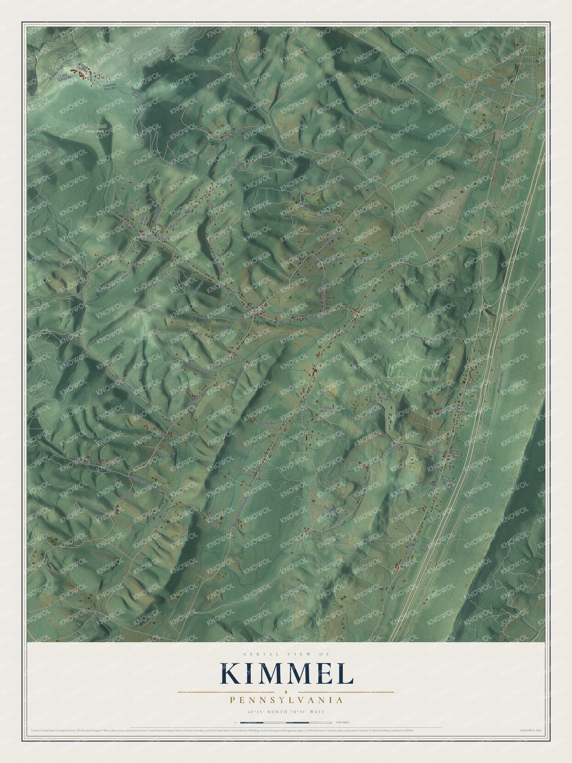
This beautifully detailed map of Kimmel, Pennsylvania was created in 2026 using aerial imagery combined with modern topographical, census, street and landmark data. It’s a one-of-a-kind view of Kimmel that combines accurate data with a vintage aesthetic. The map shows every building in its true location, many of the roads carry their names, and the shaded topographic relief shows the shape of the land.
Explore an aerial view of Kimmel, Pennsylvania
On the map you’ll find Blue Knob State Park, King, Queen, Stiefler Corner, and King Valley Golf Course, along with North Imler Valley Road, William Penn Road, Schellsburg Road, Shellsburg Lane, Helsel Road, Scrubgrass Road, Beaver Dam Road, and more. If you look closely you can even find your house accurately drawn in its correct location. Zoom in on the preview to look for yours.
Did you know this piece of Kimmel, Pennsylvania history?
From the History of Bedford and Somerset Counties: "Kimmell township was erected out of the northern part of King and a triangular corner of the eastern part of Union, in the year 1889. It was so named in honor of Judge Francis M. Kimmell, who was president-judge of this district from 1852 to 1862."
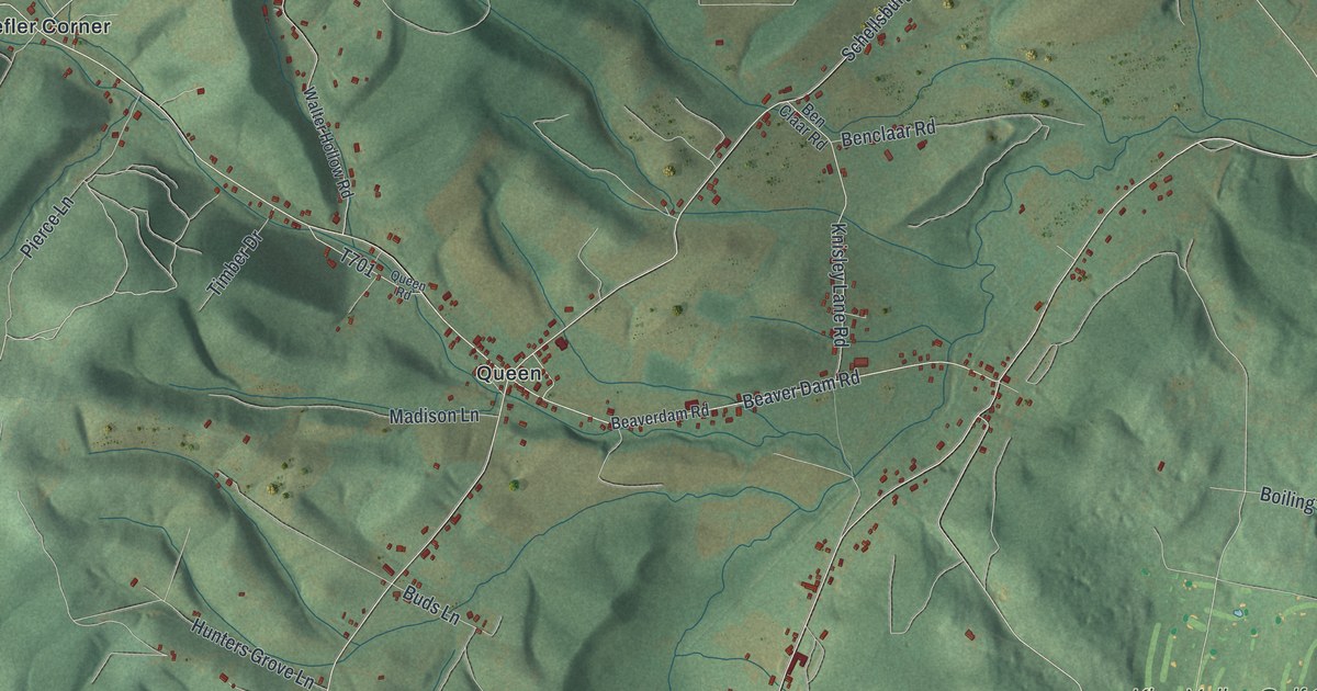
Take a closer look at the Kimmel map
Street and place names on the Kimmel, Pennsylvania map
These names are printed on the map of Kimmel, Pennsylvania.
Places: Blue Knob State Park, King, Queen, Stiefler Corner and King Valley Golf Course.
Streets and roads: North Imler Valley Road, William Penn Road, Schellsburg Road, Shellsburg Lane, Helsel Road, Scrubgrass Road, Beaver Dam Road, North Scrubgrass Road, Ridge Road, Feathers Road, Sugar Plum Lane, Fickes Road.
More street names, A to Z
Beaverdam Road, Benclaar Road, Ben Claar Road, Boiling Spring Lane, Buds Lane, Charcoal Lane, Condo Trail, Country Acre Estate Road, Forest Drive, Grant Lane, Gun Club Road, Harvest Lane, Hayes Lane, Helsel Lane, Hunters Grove Lane, King Valley Lane, Knisley Lane Road, Lawrences Lane, Little Valley Road, Long Drive, Madison Lane, Mountain Penny Lane, Mountain Road, Overland Pass Road, Picnic Road, Pierce Lane, Queen Road, Rising Sun Road, Shop Road, South Scrubgrass Road, Squirrel Road, Starlight Lane, Swamp Bottom Lane, Timber Drive, Trail 610, Upper Claar Road, Van Buren Lane, Veal Farm Road, Village Lane, Village Lane Road, Walter Hollow Road, Washington Road, Whitetail Way Road, Whylly Road, Windy Hill Lane.
See the Kimmel, Pennsylvania map on a wall
The Kimmel map as an 18 x 24 inch print in a black frame.

This beautifully detailed map of Kimmel makes an attractive addition to your office, library, or den, and it can even be used to teach children the geography and history of the area. It also makes a great gift for anyone with Kimmel roots. When you’re done exploring, click here to get your copy of the Kimmel map.