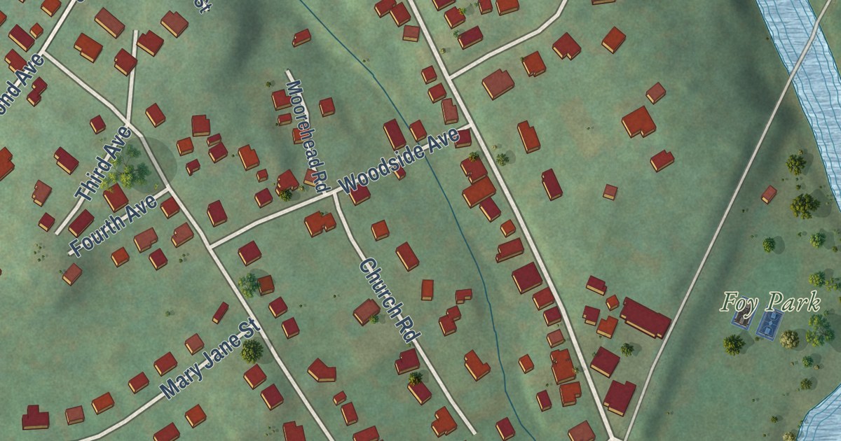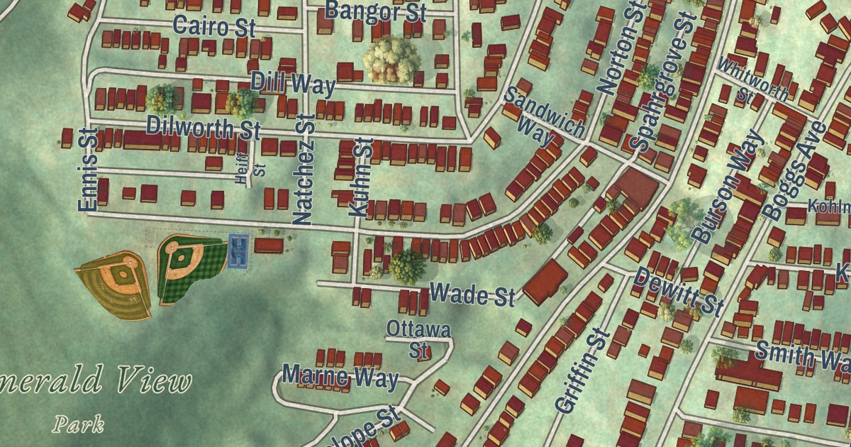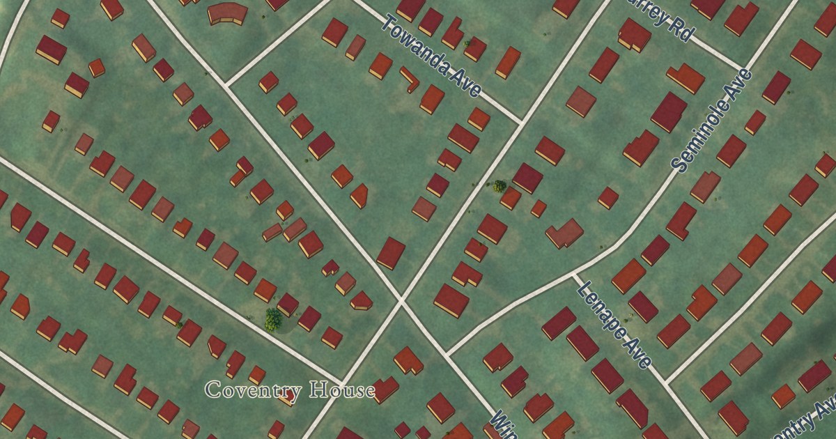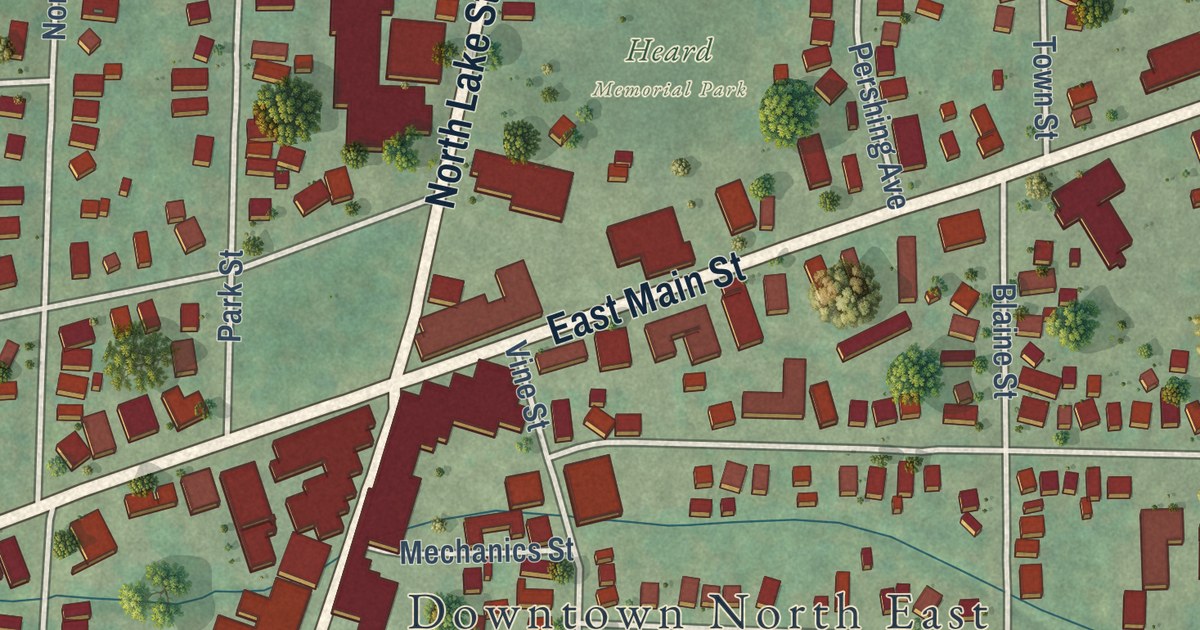
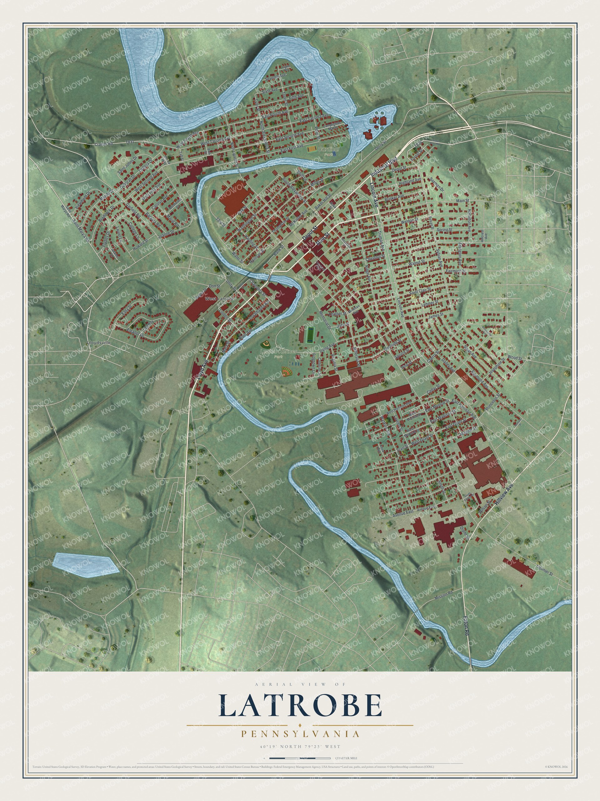
This beautifully detailed map of Latrobe, Pennsylvania was created in 2026 using aerial imagery combined with modern topographical, census, street and landmark data. It’s a one-of-a-kind view of Latrobe that combines accurate data with a vintage aesthetic. The map shows every building in its true location, many of the roads carry their names, and the shaded topographic relief shows the shape of the land.
Explore an aerial view of Latrobe, Pennsylvania
On the map you’ll find Legion-Kenner Park, Cardinal Park, Lloydsville, and West Latrobe, along with Industrial Boulevard, Lloyd Avenue, Depot Street, Main Street, Lincoln Avenue, Hillview Avenue, Eaton Road, Sylvan Avenue, and more. If you look closely you can even find your house accurately drawn in its correct location. Zoom in on the preview to look for yours.
Did you know this piece of Latrobe, Pennsylvania history?
From the 1882 History of the County of Westmoreland, Pennsylvania: "The site of the mill-seat on the southwestern bank of the Loyalhanna, now owned by Mr. J. L. Chambers, was, it is true, occupied as a grist-and saw-mill since early in the present century, but there was only one road leading past it before the railroad."
Take a closer look at the Latrobe map
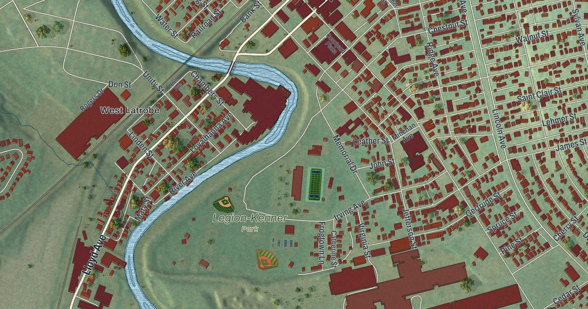
Street and place names on the Latrobe, Pennsylvania map
These names are printed on the map of Latrobe, Pennsylvania.
Places: Legion-Kenner Park, Cardinal Park, Lloydsville and West Latrobe.
Streets and roads: Industrial Boulevard, Lloyd Avenue, Depot Street, Main Street, Lincoln Avenue, Hillview Avenue, Eaton Road, Sylvan Avenue, Weldon Street, Saint Mary's Road, Viewmont Drive, Cramer Road.
More street names, A to Z
33rd Street, Adams Lane, Albina Way, Alexander Street, Arlington Avenue, Avenue East, Baker Hill Street, Bank Street, Barbara Road, Bluff Lane, Braddock Drive, Brinker Avenue, Carolyn Avenue, Catherine Street, Cedar Street, Chambers Street, Cherry Street, Chestnut Street, College Lane, Courtyard Plaza, Dailey Avenue, Debora Drive, Deborah Drive, Dell Way, Derry Street, Diane Street, Don Street, East First Avenue, East Fourth Avenue, East Grant Street, East Harrison Avenue, East Madison Street, East Monroe Street, East Second Avenue, East Tacoma Avenue, Easy Street, Eighth Avenue, Eleanor Drive, Fairmont Street, Fifth Avenue, Forbes Drive, Forest Street, Frogtown Lane, Garfield Road, Gertrude Street, Grant Street, Hamilton Avenue, Harding Street, Highland Avenue, Hillcrest Avenue, Hoke Street, Howard Street, Irving Avenue, James Street, Jefferson Street, Joanne Drive, John Street, Josephine Street, Knox Avenue, Lamplighter Manor, Latrobe Derry Road, Laurel Lane, Laveen Street, Leather Street, Lehmer Street, Ligonier Street, Linden Street, Loyalhanna Avenue, Marie Road, Mary Street, McKinley Avenue, Meade Drive, Memorial Drive, Miller Street, Minehan Avenue, Mission Road, Montana Street, North Alexandria Street, North Avenue, North Ligonier Street, Northview Drive, Oak Street, Penn Street, Pine Street, Polk Street, Princeton Street, Railroad Street, Raymond Avenue, Ridge Avenue, River Avenue, Rogers Drive, Saint Clair Street, Saint Johns Drive, Saint Marys Road, Saxman Drive, Seventh Avenue, Sixth Avenue, Sloan Avenue, Smith Street, South Alexandria Street, South Center Street, Spring Street, Spruce Street, Sylvan Street, Taft Street, Thompson Street, Toner Street, Truman Avenue, Tyler Street, Unity Street, Virginia Street, Wagner Street, Walnut Street, Washington Street, Water Street, Watkins Avenue, West First Avenue, West Fourth Avenue, West Grant Street, West Harrison Avenue, West Madison Street, Westminster Avenue, West Monroe Street, West Second Avenue, West Tacoma Avenue, Wilson Street, Wood Street.
See the Latrobe, Pennsylvania map on a wall
The Latrobe map as an 18 x 24 inch print in a black frame.

This beautifully detailed map of Latrobe makes an attractive addition to your office, library, or den, and it can even be used to teach children the geography and history of the area. It also makes a great gift for someone who left Latrobe and still calls it home. When you’re done exploring, click here to get your copy of the Latrobe map.