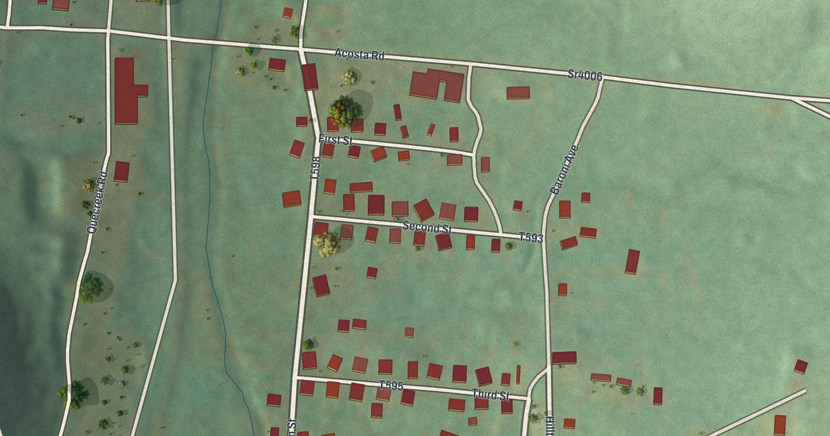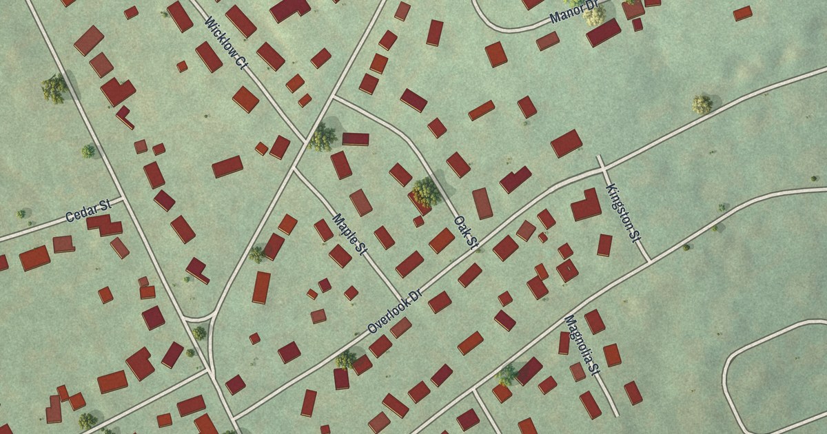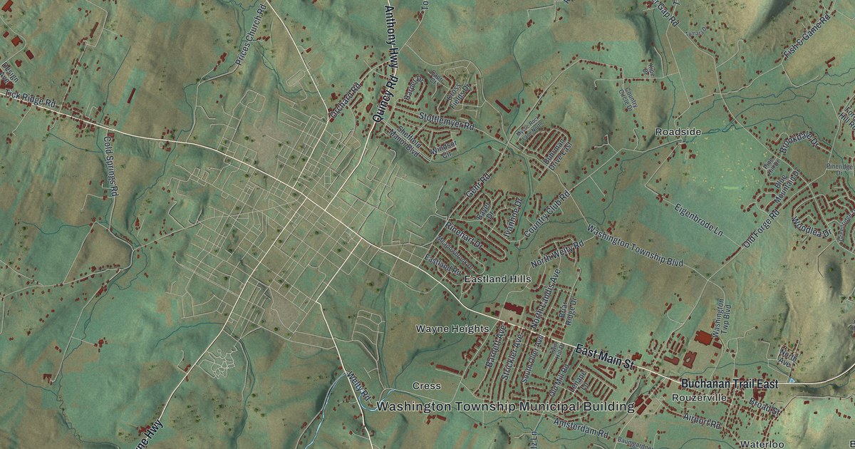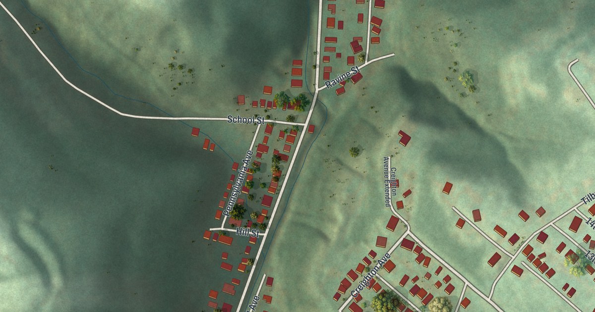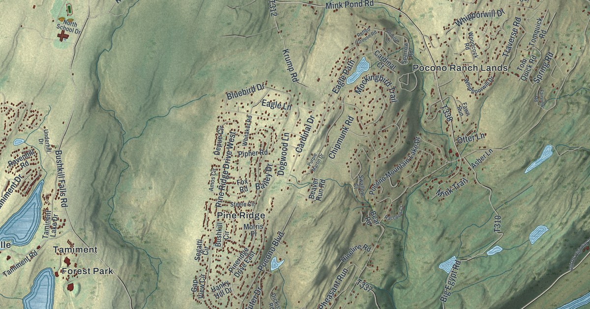
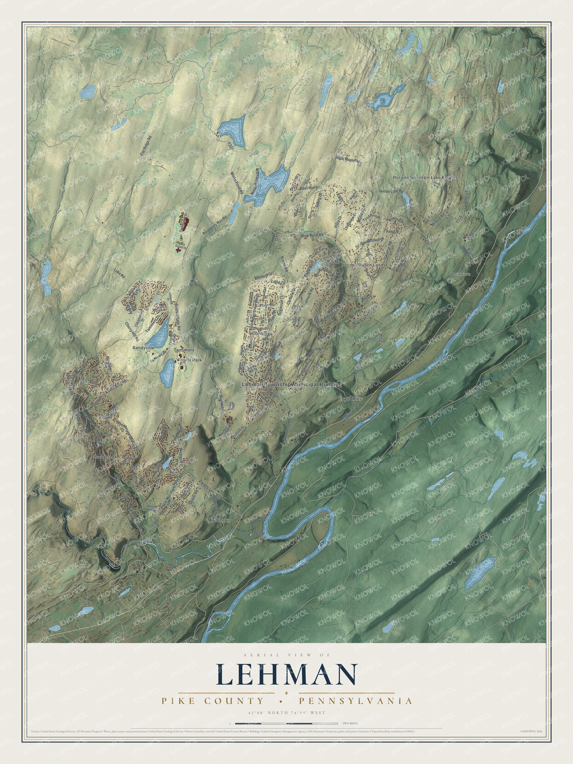
This beautifully detailed map of Lehman, Pike County, Pennsylvania was created in 2026 using aerial imagery combined with modern topographical, census, street and landmark data. It’s a one-of-a-kind view of Lehman that combines accurate data with a vintage aesthetic. The map shows every building in its true location, many of the roads carry their names, and the shaded topographic relief shows the shape of the land.
Explore an aerial view of Lehman, Pike County, Pennsylvania
On the map you’ll find Lehman Township Municipal Building, Delaware, Bushkill, Egypt Mills, Forest Park, Pine Ridge, Pocono Mountain Lake Estates, Pocono Ranch Lands, Sandyville, Saw Creek, Tamiment, and more. If you look closely you can even find your house accurately drawn in its correct location. Zoom in on the preview to look for yours.
Did you know this piece of Lehman, Pike County, Pennsylvania history?
From Data.pa.gov: "On June 26, 1964, a burning tractor trailer exploded here, killing six people, including three Marshalls Creek fire-fighters, and injuring thirteen others."
Take a closer look at the Lehman, Pike County map
Street and place names on the Lehman, Pike County, Pennsylvania map
These names are printed on the map of Lehman, Pike County, Pennsylvania.
Places: Lehman Township Municipal Building, Delaware, Bushkill, Egypt Mills, Forest Park, Pine Ridge, Pocono Mountain Lake Estates, Pocono Ranch Lands, Sandyville, Saw Creek and Tamiment.
Streets and roads: Winona Falls Road, Woodbridge Drive East, Decker Road, Minks Pond Road, Tamiment Drive, Bushkill Falls Road, Raspberry Run Road, Milford Road, Bushkill Road, Whipporwill Drive, Mallard Lane, Mink Pond Road.
More street names, A to Z
Alford Court, Amos Circle, Ansted Court, Apley Court, Apley Drive, Asher Lane, Badger Drive, Bailey Drive, Bear Drive, Bear Road, Beaver Run Road, Big Egypt Road, Bluebird Drive, Bobcat Court, Bobcat Drive, Bobolink Trail, Brentwood Drive, Brisco Mountain Road, Broadhead Road, Bushkill Circle, Bushkill Falls Trail, Campus Drive, Canterbury Road, Cardinal Court, Cardinal Drive, Cherry Hill Road, Chipmunk Road, Church Lane, Clifton Drive, Cramer Road, Creek Road, Deer Run Road, Depue Circle, Dickison Road, Doe Loop, Dogwood Lane, Dorset Drive, Eagle Lane, Eagle Path, Edinburgh Road, Egypt Mills Road, Elgin Way, Elk Drive, Emery Road, Fairview Road, Falls Road, Fawn Run, Flat Ridge Road, Fox Road, Gap View Circle, Gold Finch Road, Grouse Lane, Hanky Hill Drive, Hillock Court, Hineline Road, Janets Way, Keystone Drive, Kirkham Road, Kittatinny Drive, Krump Road, Lancaster Drive, Lehman Park Road, Lewis Boulevard, Longview Drive, Luke Road, Marguerite Drive, Maskenozha Drive, Mink Trail, Mockingbird Trail, Morris Place, Mount Lawn Drive, North School Drive, Oakenshield Drive, Oak Lane, Old US Highway 209, Otter Lane, Oxford Street, Pheasant Run, Pineridge Drive East, Pine Ridge Drive West, Pipher Road, Pocmont Loop, Pocono Boulevard, Pocono Mountain Lake Drive, Port Drive, Porter Drive, Purple Martin Drive, Raccoon Court, Radcliff Road, Ravenhill Road, Regent Street, Round Hill Drive, Ruffed Grouse Road, Saunders Drive, Segatti Circle, Southport Drive, Sparrow Road, Spring Court, Spring Drive, Spring Road, Stafford Road, Steele Circle, Steele Road, Stuart Place, Sugar Maple Road, Sugar Mountain Road West, Sunset Lake Road, Sunset Road, Suter Drive, Swallow Court, Tamiment Road, Taminent Lake Drive, Timberwolf Drive, Tomquick Road, Tom Quick Road, Traverse Road, Underhill Drive, Vanwhy Road, Vista Court, Walnut Road, Whippoorwill Drive, Whitaker Road, Wickes Road, Winchester Way, Woodbridge Drive, Woodcock Road, Woodey End Way, Woodthrush Circle, Woody End Way.
See the Lehman, Pike County, Pennsylvania map on a wall
The Lehman, Pike County map as an 18 x 24 inch print in a black frame.

This beautifully detailed map of Lehman, Pike County makes an attractive addition to your office, library, or den, and it can even be used to teach children the geography and history of the area. It also makes a great gift for anyone who grew up in Lehman or moved away. When you’re done exploring, click here to get your copy of the Lehman, Pike County map.