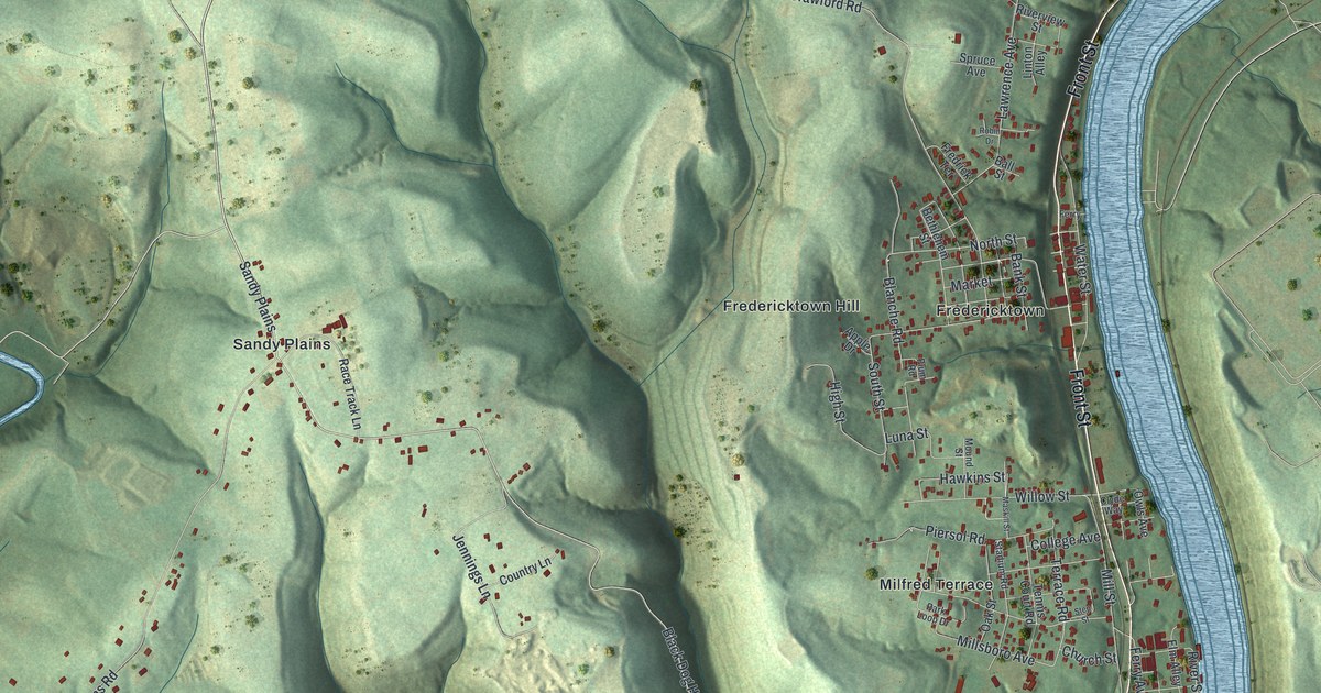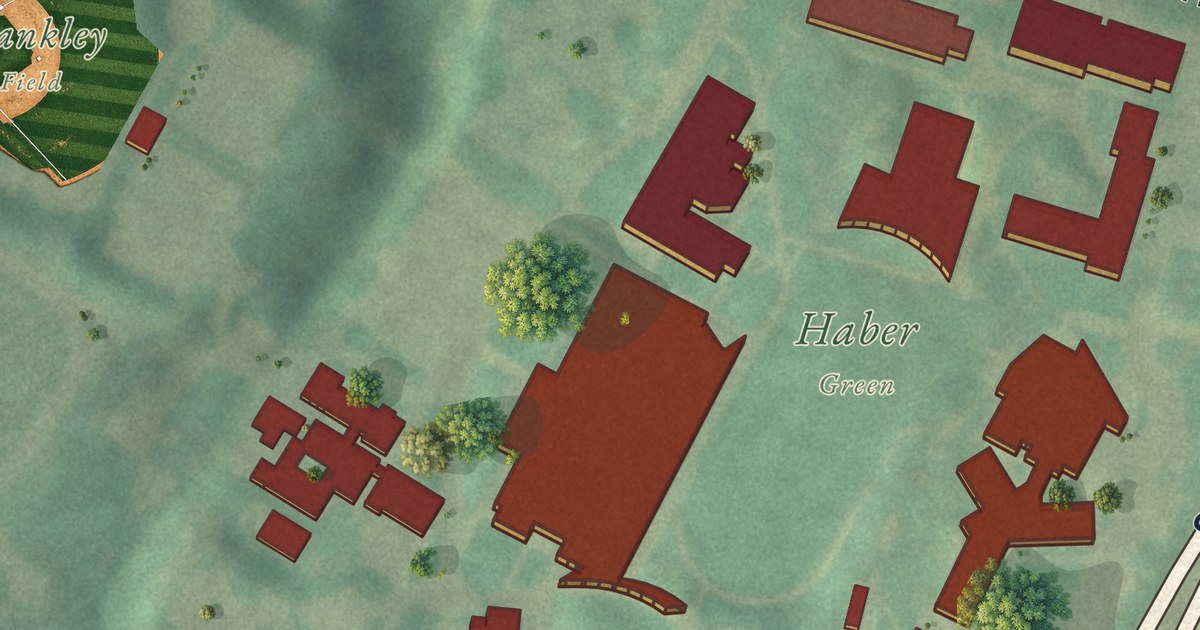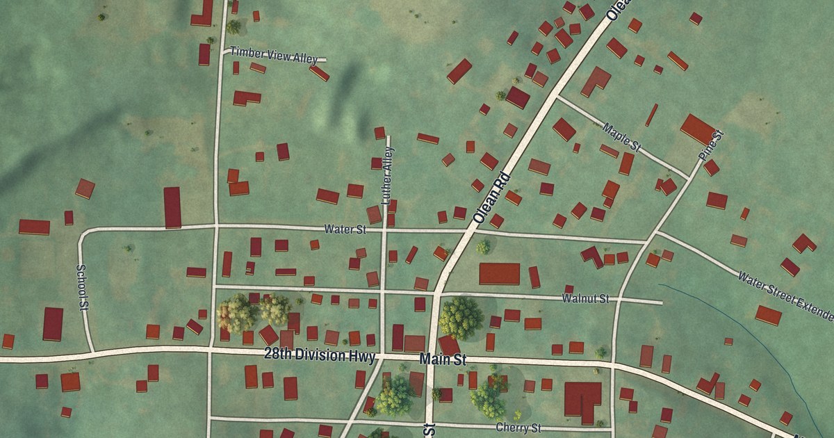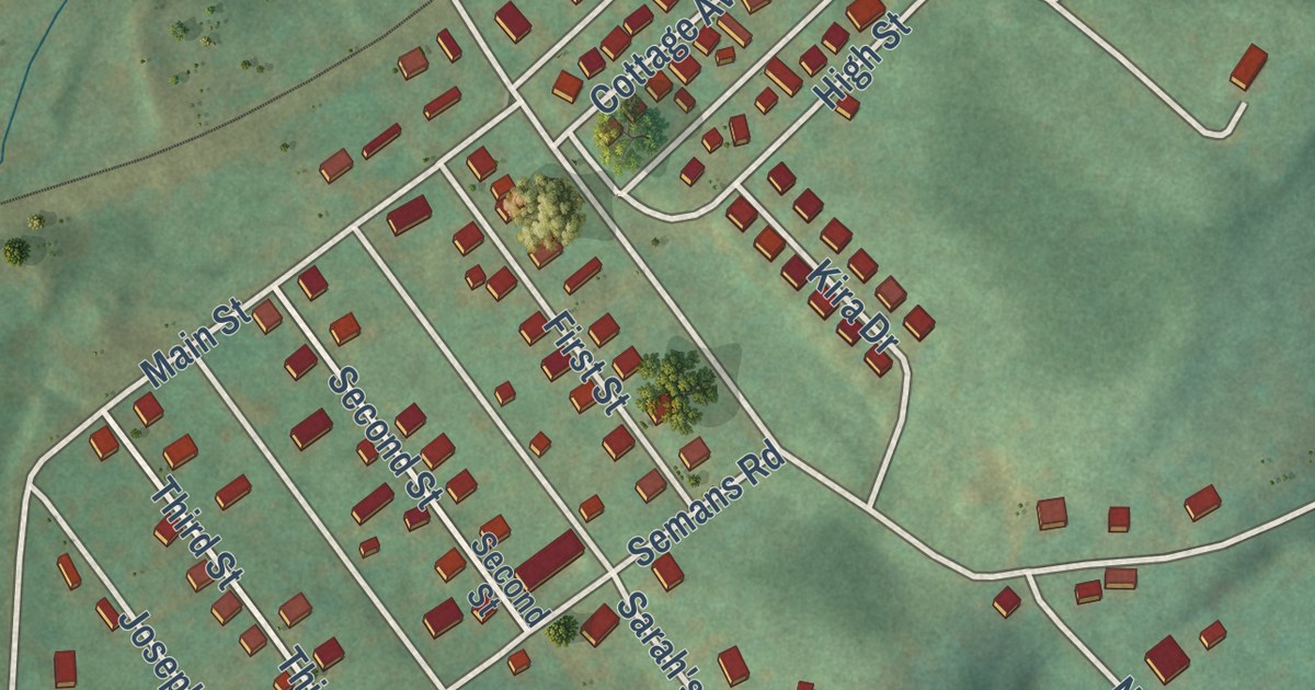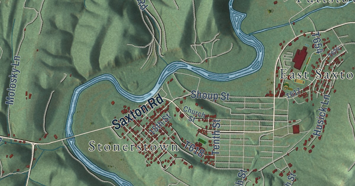
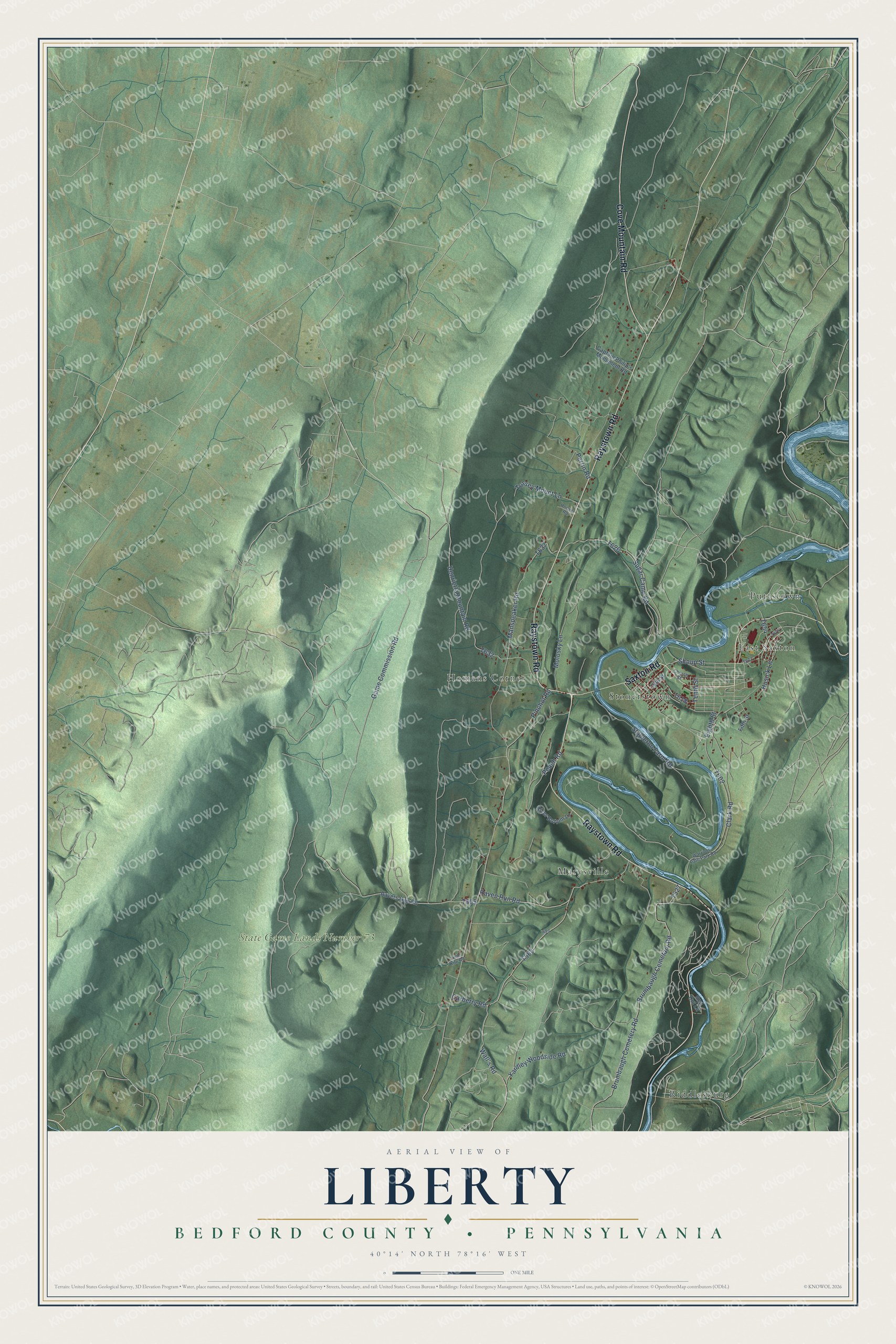
This beautifully detailed map of Liberty, Bedford County, Pennsylvania was created in 2026 using aerial imagery combined with modern topographical, census, street and landmark data. It’s a one-of-a-kind view of Liberty that combines accurate data with a vintage aesthetic. The map shows every building in its true location, many of the roads carry their names, and the shaded topographic relief shows the shape of the land.
Explore an aerial view of Liberty, Bedford County, Pennsylvania
On the map you’ll find Raystown Lake Recreation Area, State Game Lands Number 73, Warriors Path State Park, East Saxton, Homans Corner, Marysville, Puttstown, Riddlesburg, and Stonerstown, along with Saxton Road, Raystown Road, Cove Mountain Road, and more. If you look closely you can even find your house accurately drawn in its correct location. Zoom in on the preview to look for yours.
Did you know this piece of Liberty, Bedford County, Pennsylvania history?
Liberty Township in Bedford County was home to Jacob Steel, an early farmer and boatman. For years he shipped flour, grain and produce down the river for Morrison’s Cove settlers. He used flat-bottomed boats called arks, about 16 feet wide and 70 to 80 feet long. At market the arks were taken apart and sold for timber. That’s from the 1884 History of Bedford, Somerset and Fulton Counties, Pennsylvania.
Take a closer look at the Liberty, Bedford County map
Street and place names on the Liberty, Bedford County, Pennsylvania map
These names are printed on the map of Liberty, Bedford County, Pennsylvania.
Places: State Game Lands Number 73, Puttstown, Marysville, Riddlesburg, Homans Corner, Stonerstown and East Saxton.
Streets and roads: Saxton Road, Raystown Road, Cove Mountain Road, Shoup Street, Brumbaugh Cemetary Road, Raven Run Road, Carberry Road, Pinchot Road, Brumbaugh Cemetery Road, Perrin Road, Manspeaker Road, Game Commission Road.
More street names, A to Z
15th Street, Captain Philip's Monument Road, Church Street, Clark Road, Eighth Street, Fifth Street, Henrietta Mountain Road, Hoover Road, Husick Lane, Lime Kiln Road, Molosky Lane, Peach Road, Ravers Gap Road, Red Cut Lane, River Bottom Lane, Stapleton Farm Road, Sugar Camp Road, Tenth Street, Tussey Mount Lane, Wall's Road, Warriors Path Park Road, Yardley Woodside Road.
See the Liberty, Bedford County, Pennsylvania map on a wall
The Liberty, Bedford County map as an 18 x 24 inch print in a black frame.

This beautifully detailed map of Liberty, Bedford County makes an attractive addition to your office, library, or den, and it can even be used to teach children the geography and history of the area. It also makes a great gift for anyone with Liberty roots. When you’re done exploring, click here to get your copy of the Liberty, Bedford County map.