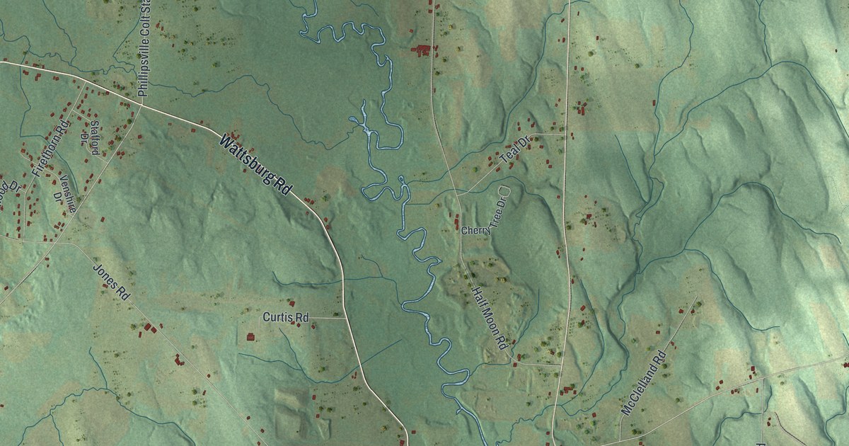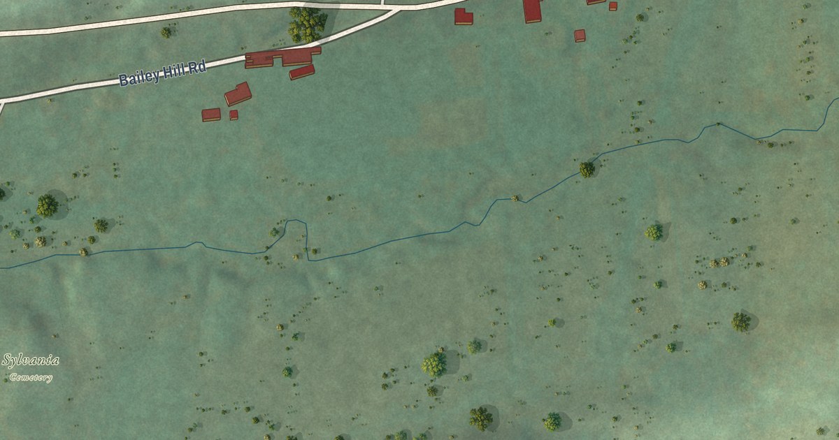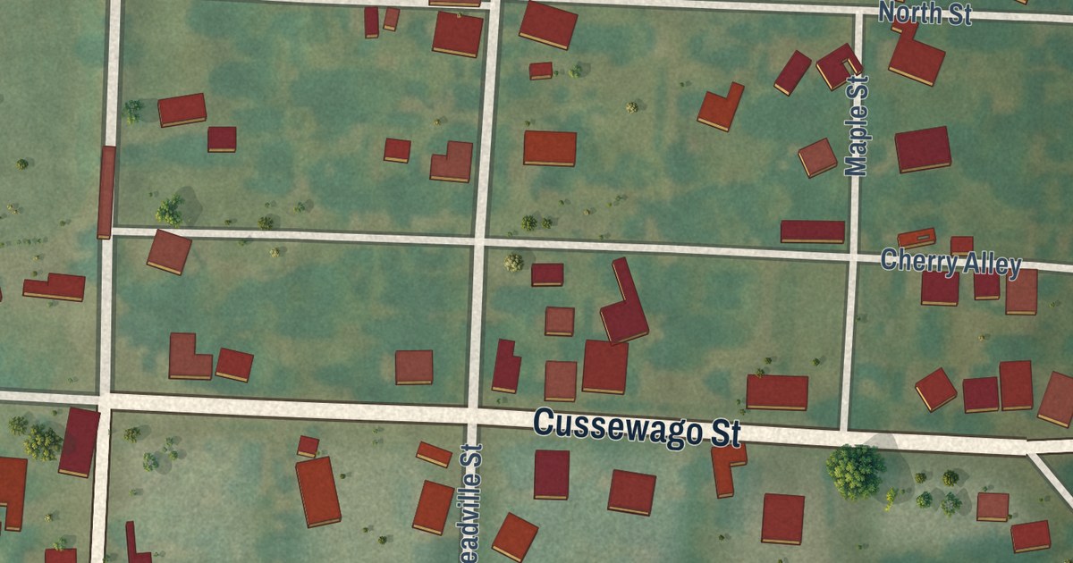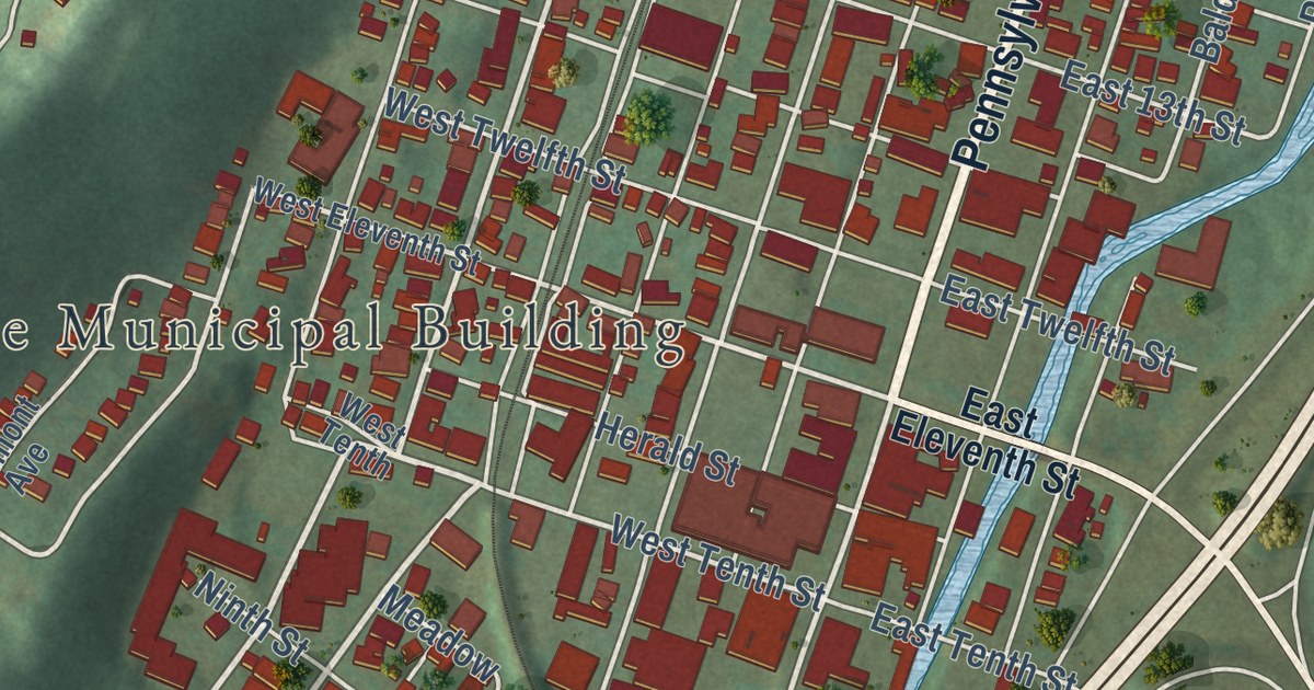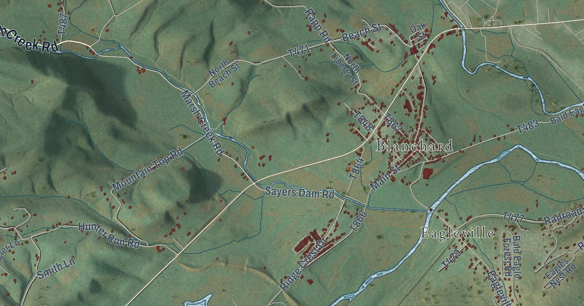
This beautifully detailed map of Liberty, Centre County, Pennsylvania was created in 2026 using aerial imagery combined with modern topographical, census, street and landmark data. It’s a one-of-a-kind view of Liberty that combines accurate data with a vintage aesthetic. The map shows every building in its true location, many of the roads carry their names, and the shaded topographic relief shows the shape of the land.
Explore an aerial view of Liberty, Centre County, Pennsylvania
On the map you’ll find Monument, Big Run, West Beech, Bald Eagle State Park, Sproul State Forest, Blanchard, and Eagleville, along with Monument Orviston Road, Marsh Creek Road, State Street, North Eagle Valley Road, Saw Mill Road, and more. If you look closely you can even find your house accurately drawn in its correct location. Zoom in on the preview to look for yours.
Did you know this piece of Liberty, Centre County, Pennsylvania history?
From the History of Centre and Clinton Counties: "James, son of Derrick Gunsalus, came from Howard to Liberty township about 1800, and settled upon the land now occupied by his sons James and Ira."
Take a closer look at the Liberty, Centre County map
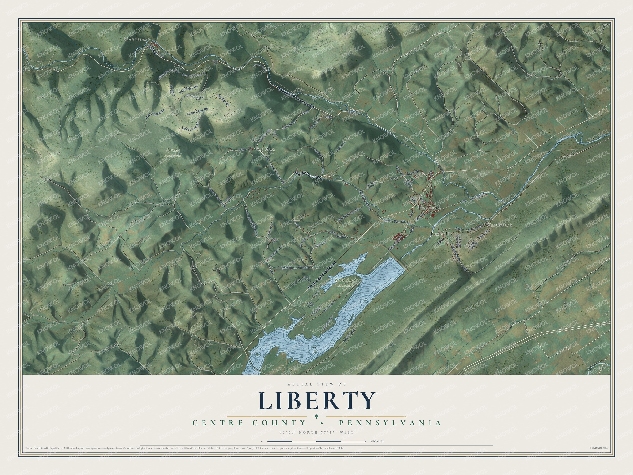
Street and place names on the Liberty, Centre County, Pennsylvania map
These names are printed on the map of Liberty, Centre County, Pennsylvania.
Places: Monument, Big Run, West Beech, Bald Eagle State Park, Sproul State Forest, Eagleville and Blanchard.
Streets and roads: Monument Orviston Road, Marsh Creek Road, State Street, North Eagle Valley Road, Saw Mill Road, Sawmill Road, Lower Polecat Road, Ridge Crest Drive, Rapp Road, Beach Street, Upper Pole Cat Road, Sayers Dam Road.
More street names, A to Z
Alpine Wilderness Road, Bald Eagle Forest Road, Bald Eagle Street, Barltley Lane, Bear Ridge Road, Beech Forest Road, Best View Lane, Big Run Road, Buckhorn Road, Cabin Lane, Doves Way, Eagles Nest Road, Eagleville Road, Falls Lane, Grouse Trail Road, Hill Drive, Hunter Run Road, Main Street, Merrill Lane, Mountain Top Road, North Beach Street, North Liberty Street, Oak Loop, Oak Street, Old Route 220, Railroad Street, Ridge Runner Road, Robin Road, Rustic Loop, Schencks Grove Road, Sky Line Drive, Sledding Area Access Road, Slide Hollow Road, Smith Lane, Spangler Lane, Stoner Road, Sugar Camp Road, Sycamore Loop, Thompson Lane, Turkey Trail Road, Water Tank Road, Weaver Lane, West Hunter Run Road, White Tail Forrest Road.
See the Liberty, Centre County, Pennsylvania map on a wall
The Liberty, Centre County map as an 18 x 24 inch print in a black frame.

This beautifully detailed map of Liberty, Centre County makes an attractive addition to your office, library, or den, and it can even be used to teach children the geography and history of the area. It also makes a great gift for anyone with Liberty roots. When you’re done exploring, click here to get your copy of the Liberty, Centre County map.